Peel Hall
Settlement in Cheshire
England
Peel Hall
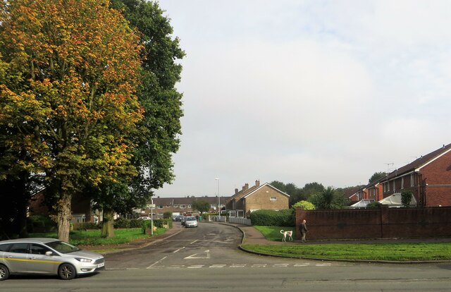
Peel Hall is a small village located in the county of Cheshire, England. Situated approximately 4 miles east of the town of Warrington, Peel Hall is a peaceful and picturesque place known for its rural charm and tranquil surroundings.
The village takes its name from Peel Hall, a historic manor house that once stood in the area. The original Peel Hall was built in the 16th century and was the ancestral home of the Peel family, who were prominent landowners in the region. Unfortunately, the manor house was destroyed by fire in the 19th century, and only a few remnants of the original building remain today.
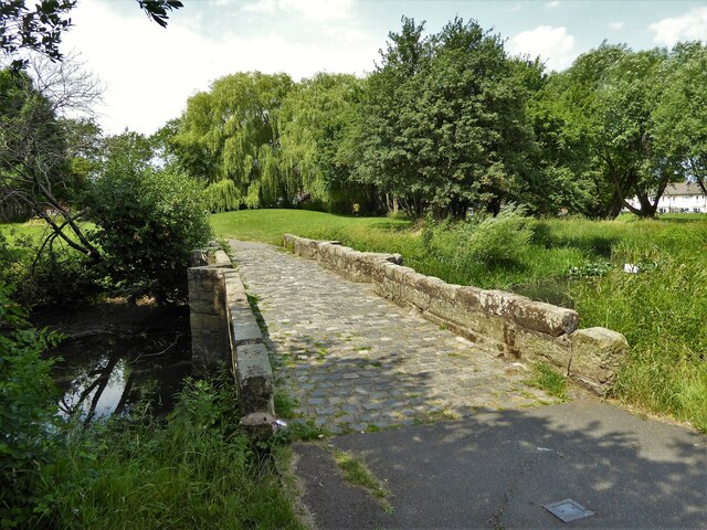
Despite the loss of the grand manor house, Peel Hall has retained its character and is now a thriving community of residential properties. The village is characterized by its beautiful countryside, with rolling fields and lush greenery surrounding the area. This makes it an ideal location for those seeking a peaceful and idyllic setting to call home.
Peel Hall is well-connected to neighboring towns and cities, making it convenient for residents to access amenities and services. The nearby town of Warrington offers a range of shopping centers, restaurants, and recreational facilities. Additionally, the village is close to major transportation routes, including the M6 and M56 motorways, providing easy access to other parts of the country.
Overall, Peel Hall is a charming village in Cheshire, offering a delightful blend of rural beauty, community spirit, and convenient access to urban amenities.
If you have any feedback on the listing, please let us know in the comments section below.
Peel Hall Images
Images are sourced within 2km of 53.37689/-2.246491 or Grid Reference SJ8386. Thanks to Geograph Open Source API. All images are credited.


![Delta House, Wavell Road, Manchester An interesting Y-shaped 1960s office block, the upper storeys above a hexagonal ground floor.
I would have tried to get a closer look, but the &quot;ISO27001-compliant building has some of the most sophisticated security of any data centre in Europe ... with an on-site police-linked, NSI Gold Approved, BS5979 certified control room and alarm receiving centre [it is] unique in the UK. ...biometric access controls, virtual tripwires, visitor turnstiles and man-traps, and full-height perimeter fencing provide multiple layers of physical security.&quot; Operated by Teledata UK Ltd.](https://s0.geograph.org.uk/geophotos/07/57/16/7571684_3af7842c.jpg)


Peel Hall is located at Grid Ref: SJ8386 (Lat: 53.37689, Lng: -2.246491)
Unitary Authority: Manchester
Police Authority: Greater Manchester
What 3 Words
///divisions.test.live. Near Ringway, Manchester
Nearby Locations
Related Wikis

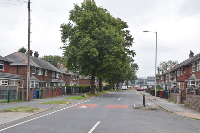
Peel Hall, Wythenshawe
Peel Hall is a suburb of Manchester, England, nine miles south of the city centre and a mile north of Manchester Airport. Peel Hall is on the eastern edge...

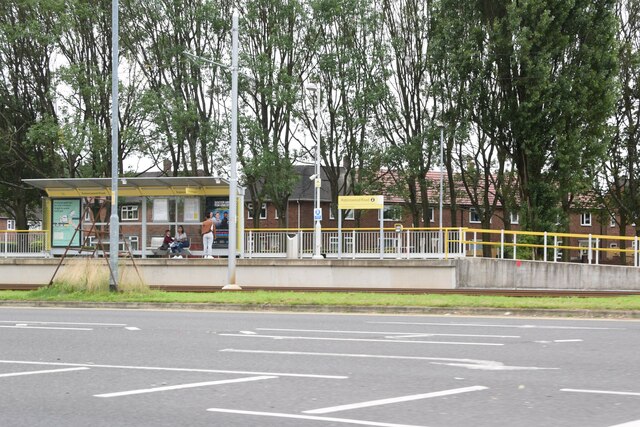
Peel Hall tram stop
Peel Hall is a tram stop for Phase 3b of the Manchester Metrolink. The station opened on 3 November 2014 and is on the Airport Line on Simonsway next to...

Robinswood Road tram stop
Robinswood Road is a tram stop for Phase 3b of the Manchester Metrolink. It opened on 3 November 2014. and is on the Airport Line on Simonsway at the junction...

Crossacres tram stop
Crossacres is a tram stop for the Phase 3B Extension of Greater Manchester's Metrolink system. The stop is part of the Airport Line and is at the junction...
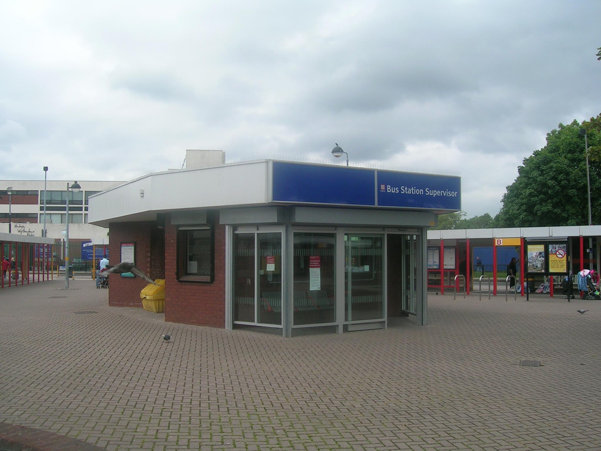
Wythenshawe bus station
Wythenshawe bus station serves the Wythenshawe area of Greater Manchester, England. The bus station was opened by the Greater Manchester Passenger Transport...
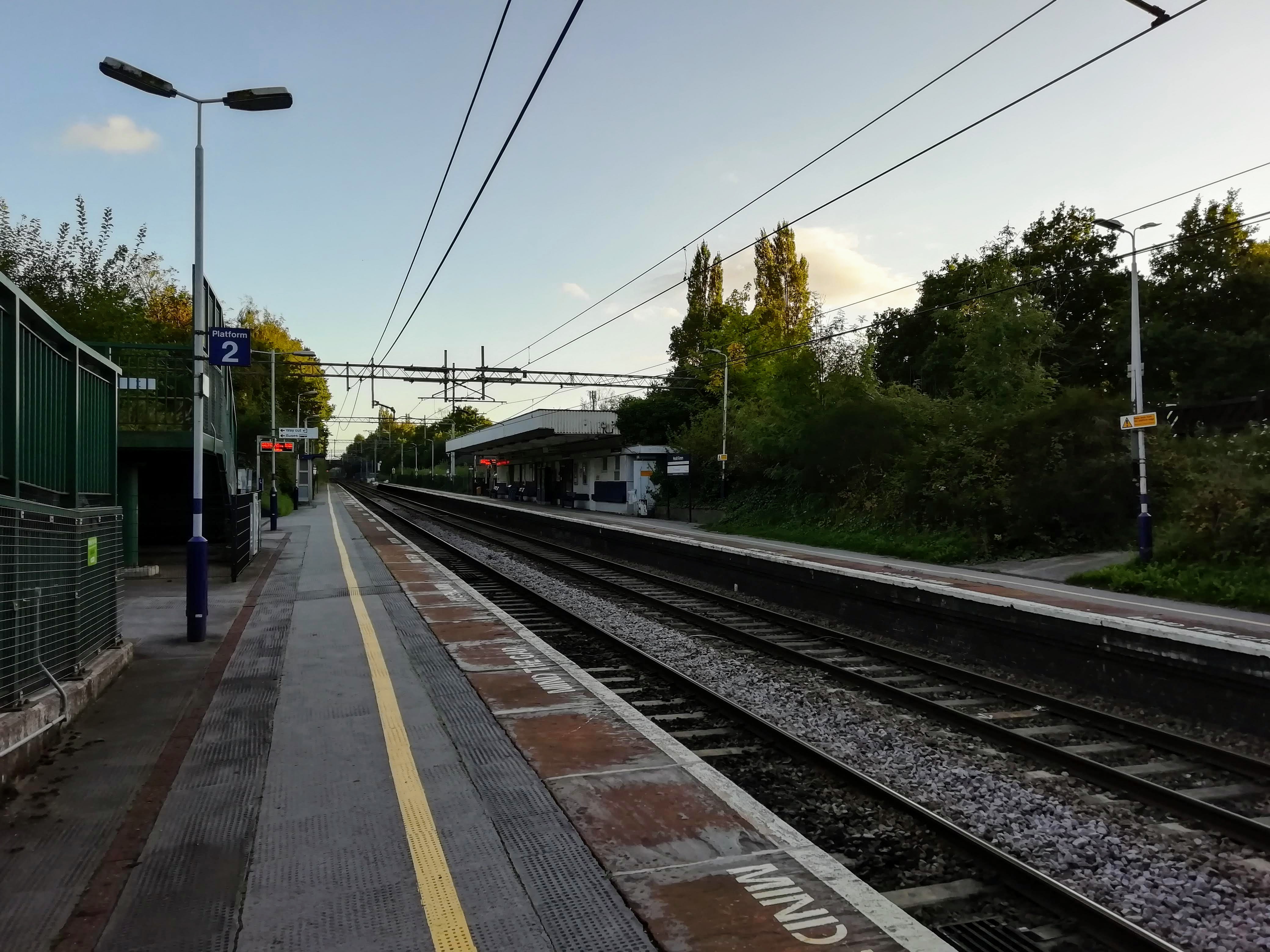
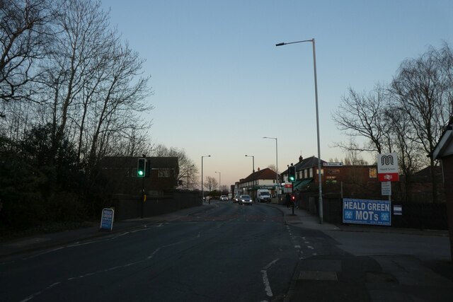
Heald Green railway station
Heald Green railway station serves the suburb of Heald Green in Stockport, Greater Manchester, England. The station is on the Styal Line, opened in 1909...

Shadowmoss tram stop
Shadowmoss is a tram stop on the Airport Line of the Manchester Metrolink which opened on 3 November 2014.The stop is one of the least used on the Metrolink...

William Temple Memorial Church, Wythenshawe
William Temple Memorial Church is a parish church in Wythenshawe, Manchester, dedicated to the bishop William Temple. It is a Grade II listed building...
Nearby Amenities
Located within 500m of 53.37689,-2.246491Have you been to Peel Hall?
Leave your review of Peel Hall below (or comments, questions and feedback).