Black's Plantation

Wood, Forest in Yorkshire Craven

England

Black's Plantation

Settle, Town Hall This is the south facing wall of the Town Hall. The local Tourist Information bureau is currently resident in this area of the building. There is a fine benchmark cut into the 2nd course of stone at the corner.
Settle, Town Hall Credit: Mel Towler

Black's Plantation is a picturesque woodland located in Yorkshire, England. Covering an area of approximately 100 acres, this enchanting forest is a popular destination for nature lovers, hikers, and outdoor enthusiasts. The plantation is situated within close proximity to the quaint village of Yorkshire, making it easily accessible for visitors.

The woodland features a diverse range of tree species, including oak, beech, and birch, creating a vibrant and lush environment. The dense canopy provides ample shade during the summer months, making it an ideal spot for a leisurely stroll or a peaceful picnic. The forest floor is adorned with a rich carpet of ferns, moss, and wildflowers, further adding to the beauty of the surroundings.

Black's Plantation offers a network of well-maintained trails that wind through the forest, allowing visitors to explore its natural wonders. These trails cater to various difficulty levels, accommodating both casual walkers and more experienced hikers. Along the way, there are several viewpoints that offer breathtaking vistas of the Yorkshire countryside, providing a perfect opportunity to capture memorable photographs.

The plantation is also home to a diverse array of wildlife, including deer, rabbits, and a variety of bird species. Birdwatchers flock to the forest to catch glimpses of rare and migratory birds that inhabit the area.

Overall, Black's Plantation in Yorkshire offers a tranquil and visually stunning escape for those seeking respite from the hustle and bustle of everyday life. Whether it's for a leisurely walk, a family outing, or a photography expedition, this woodland provides a serene and captivating natural experience.

If you have any feedback on the listing, please let us know in the comments section below.

Black's Plantation Images

Images are sourced within 2km of 54.055018/-2.2586219 or Grid Reference SD8362. Thanks to Geograph Open Source API. All images are credited.

Settle, Town Hall This is the south facing wall of the Town Hall. The local Tourist Information bureau is currently resident in this area of the building. There is a fine benchmark cut into the 2nd course of stone at the corner.
Settle, Town Hall
This is the south facing wall of the Town Hall. The local Tourist Information bureau is currently resident in this area of the building. There is a fine benchmark cut into the 2nd course of stone at the corner.
Settle, Town Hall A wider angle showing the complete Town Hall. On the right angled corner of the building, to the right of the drainpipe is a benchmark cut into 2nd course of stone.
Settle, Town Hall
A wider angle showing the complete Town Hall. On the right angled corner of the building, to the right of the drainpipe is a benchmark cut into 2nd course of stone.
Settle, Victoria Street This is number 7 Victoria Street, and the wall faces north-east. There is a benchmark cut into the corner stone of the 2nd course, just above the airbrick.
Settle, Victoria Street
This is number 7 Victoria Street, and the wall faces north-east. There is a benchmark cut into the corner stone of the 2nd course, just above the airbrick.
Settle, Victoria Street A wider angle showing the front facia of number 7 Victoria Street. This wall faces north-east, and there is a benchmark cut into the corner stone of the 2nd course, just above the airbrick.
Settle, Victoria Street
A wider angle showing the front facia of number 7 Victoria Street. This wall faces north-east, and there is a benchmark cut into the corner stone of the 2nd course, just above the airbrick.
Settle, Albert Hill This is a north -east facing wall of a property on Albert Hill. There is an indistinct benchmark cut into a right-hand cornerstone. It looks as if the front facia may have been painted white previously, and the paint still remains in the cut depressions on the stonework.
Settle, Albert Hill
This is a north -east facing wall of a property on Albert Hill. There is an indistinct benchmark cut into a right-hand cornerstone. It looks as if the front facia may have been painted white previously, and the paint still remains in the cut depressions on the stonework.
Settle, Albert Hill A wider angle showing the north -east facing wall of a property on Albert Hill. There is an indistinct benchmark cut into a right-hand cornerstone, to the right of the road sign. It looks as if the front facia may have been painted white previously, and the paint still remains in the cut depressions on the stonework.
Settle, Albert Hill
A wider angle showing the north -east facing wall of a property on Albert Hill. There is an indistinct benchmark cut into a right-hand cornerstone, to the right of the road sign. It looks as if the front facia may have been painted white previously, and the paint still remains in the cut depressions on the stonework.
Cross-platform bridge at Settle 
The platforms at Settle are linked by an ex-North British Railway footbridge that was formerly located at Drem station in East Lothian until electrification of the ECML made it redundant. It was then dismantled and re-erected here in 1993.
Cross-platform bridge at Settle
The platforms at Settle are linked by an ex-North British Railway footbridge that was formerly located at Drem station in East Lothian until electrification of the ECML made it redundant. It was then dismantled and re-erected here in 1993.
Settle Station 
The previous train to Carlisle has long gone as have the passengers who disembarked here. The next is not due for some time so the platform is temporarily deserted but that situation won't last for long. The station buildings are Grade II listed <span class="nowrap"><a title="https://historicengland.org.uk/listing/the-list/list-entry/1132349" rel="nofollow ugc noopener" href="https://historicengland.org.uk/listing/the-list/list-entry/1132349">Link</a><img style="margin-left:2px;" alt="External link" title="External link - shift click to open in new window" src="https://s1.geograph.org.uk/img/external.png" width="10" height="10"/></span>
Settle Station
The previous train to Carlisle has long gone as have the passengers who disembarked here. The next is not due for some time so the platform is temporarily deserted but that situation won't last for long. The station buildings are Grade II listed LinkExternal link
Settle & District Conservative Club 
The club on Station Road dates from 1901. The front ground floor units are occupied by the iprint shop.
Settle & District Conservative Club
The club on Station Road dates from 1901. The front ground floor units are occupied by the iprint shop.
Station Road, Settle
Moneypennys & Lavender Lounge 
Beauty & Skincare shop on Station Road <a href="https://www.geograph.org.uk/photo/6963985">SD8163 : Station Road, Settle</a>.
Moneypennys & Lavender Lounge
Beauty & Skincare shop on Station Road SD8163 : Station Road, Settle.
Settle Post Office, Duke Street Duke Street was originally part of the A65 but after the bypass was built it became part of the B6480.
Settle Post Office, Duke Street
Duke Street was originally part of the A65 but after the bypass was built it became part of the B6480.
Settle Social Club Castleberg Settle Working Men's Club and Institute was founded in 1932, previously being situated at Bank Buildings, High Street. It moved premises in 1973/74 to 10 Duke Street Settle, which was formerly the Ashfield Hotel, an imposing Grade II listed <span class="nowrap"><a title="https://historicengland.org.uk/listing/the-list/list-entry/1166701" rel="nofollow ugc noopener" href="https://historicengland.org.uk/listing/the-list/list-entry/1166701">Link</a><img style="margin-left:2px;" alt="External link" title="External link - shift click to open in new window" src="https://s1.geograph.org.uk/img/external.png" width="10" height="10"/></span> building on the junction of Duke Street and Chapel Street.  Many local sports teams use the club as their HQ.
Settle Social Club
Castleberg Settle Working Men's Club and Institute was founded in 1932, previously being situated at Bank Buildings, High Street. It moved premises in 1973/74 to 10 Duke Street Settle, which was formerly the Ashfield Hotel, an imposing Grade II listed LinkExternal link building on the junction of Duke Street and Chapel Street. Many local sports teams use the club as their HQ.
Barclays Bank, Settle
Ye Olde Naked Man Cafe 
A Grade II listed building <span class="nowrap"><a title="https://historicengland.org.uk/listing/the-list/list-entry/1132347" rel="nofollow ugc noopener" href="https://historicengland.org.uk/listing/the-list/list-entry/1132347">Link</a><img style="margin-left:2px;" alt="External link" title="External link - shift click to open in new window" src="https://s1.geograph.org.uk/img/external.png" width="10" height="10"/></span>
Ye Olde Naked Man Cafe
A Grade II listed building LinkExternal link
Settle Signal Box 
Settle Station Signal Box and adjacent signal and isolated section of track are designated at Grade II <span class="nowrap"><a title="https://historicengland.org.uk/listing/the-list/list-entry/1412069" rel="nofollow ugc noopener" href="https://historicengland.org.uk/listing/the-list/list-entry/1412069">Link</a><img style="margin-left:2px;" alt="External link" title="External link - shift click to open in new window" src="https://s1.geograph.org.uk/img/external.png" width="10" height="10"/></span> for the following principal reasons: "Preservation: being restored into an original appearance both externally and internally, retaining features that are typically lost such as the external balcony, being the oldest surviving signal box on the Settle to Carlisle Line."

The   signal box built for the Midland Railway dates from 1891.  It closed in 1984. The signal box is still owned by Network Rail, but it is classed as a "non-operational heritage asset". It was given to the Friends of the Settle-Carlisle Line on long-term loan in June 1997, with the proviso that the structure be re-sited and restored. To allow the redevelopment of the former goods yard, and to facilitate safe access to the structure during and after restoration, the signal box was moved approximately 150 yards north from its original position beside the goods shed (since demolished) to its current location at the south end of the southbound platform. <span class="nowrap"><a title="https://www.foscl.org.uk/content/settle-station-signal-box" rel="nofollow ugc noopener" href="https://www.foscl.org.uk/content/settle-station-signal-box">Link</a><img style="margin-left:2px;" alt="External link" title="External link - shift click to open in new window" src="https://s1.geograph.org.uk/img/external.png" width="10" height="10"/></span>
Settle Signal Box
Settle Station Signal Box and adjacent signal and isolated section of track are designated at Grade II LinkExternal link for the following principal reasons: "Preservation: being restored into an original appearance both externally and internally, retaining features that are typically lost such as the external balcony, being the oldest surviving signal box on the Settle to Carlisle Line." The signal box built for the Midland Railway dates from 1891. It closed in 1984. The signal box is still owned by Network Rail, but it is classed as a "non-operational heritage asset". It was given to the Friends of the Settle-Carlisle Line on long-term loan in June 1997, with the proviso that the structure be re-sited and restored. To allow the redevelopment of the former goods yard, and to facilitate safe access to the structure during and after restoration, the signal box was moved approximately 150 yards north from its original position beside the goods shed (since demolished) to its current location at the south end of the southbound platform. LinkExternal link
Inside Settle Signal Box 
Inside the signal box <a href="https://www.geograph.org.uk/photo/6967985">SD8163 : Settle Signal Box</a> at Settle.
Inside Settle Signal Box
Inside the signal box SD8163 : Settle Signal Box at Settle.
Inside Settle Signal Box 
Inside the signal box <a href="https://www.geograph.org.uk/photo/6967985">SD8163 : Settle Signal Box</a> at Settle.
Inside Settle Signal Box
Inside the signal box SD8163 : Settle Signal Box at Settle.
Show me another place!

Black's Plantation is located at Grid Ref: SD8362 (Lat: 54.055018, Lng: -2.2586219)

Division: West Riding

Administrative County: North Yorkshire

District: Craven

Police Authority: North Yorkshire

What 3 Words

///prospers.blurred.winter. Near Settle, North Yorkshire

Related Wikis

Scaleber Force

Scaleber Force (also known as Scaleber Foss and Scaleber Waterfall), is a 40-foot (12 m) high waterfall on Stockdale Beck, later the Long Preston Beck...

Settle Town Hall

Settle Town Hall is a municipal building in Cheapside in Settle, North Yorkshire, England. The structure, which was the meeting place of Settle Rural District...

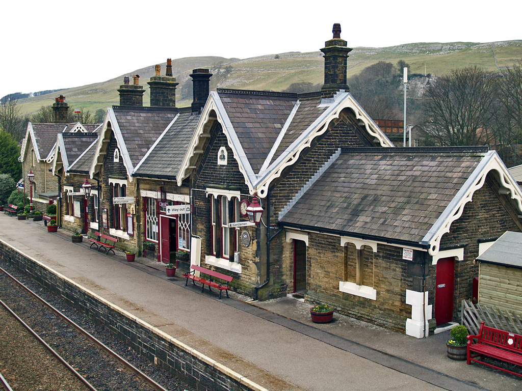
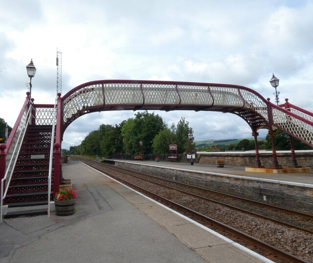
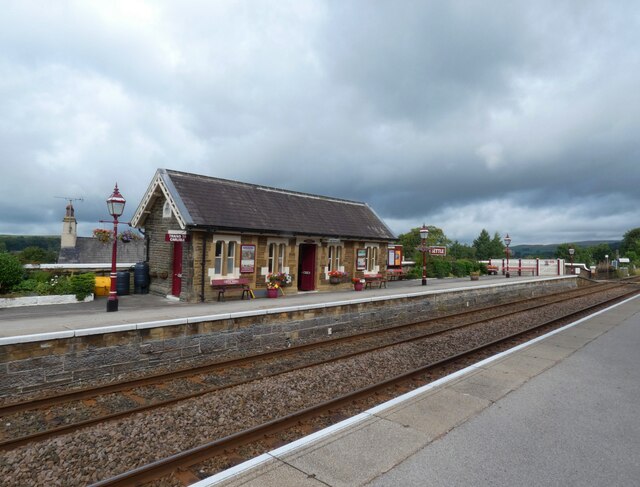
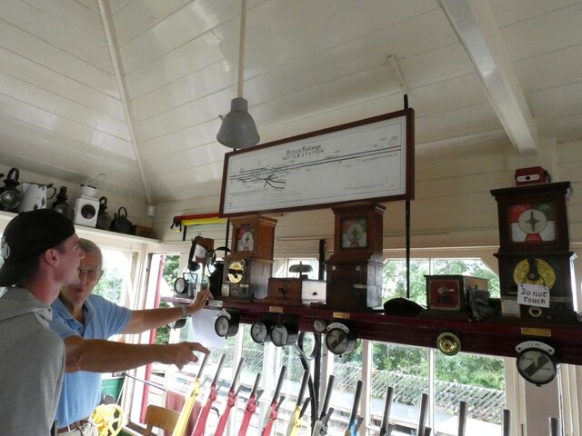
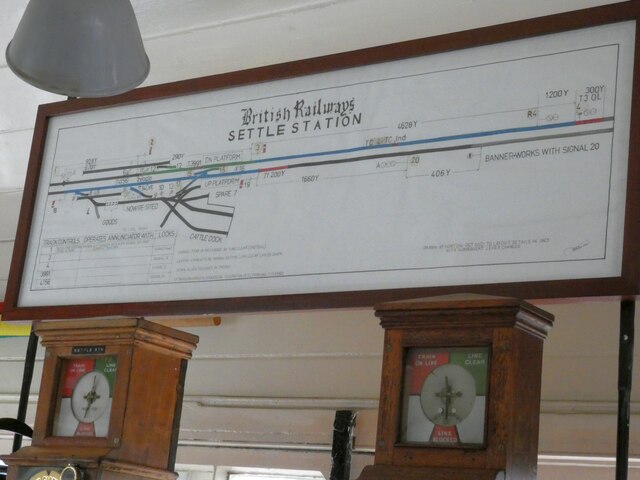
Settle railway station

Settle is a railway station on the Settle and Carlisle Line, which runs between Carlisle and Leeds via Settle. The station, situated 41 miles 37 chains...

Settle, North Yorkshire

Settle is a market town and civil parish in the Craven district of North Yorkshire, England. Historically in the West Riding of Yorkshire, the town had...

Settle Victoria Hall

Settle Victoria Hall is a Grade II listed concert hall in Kirkgate, Settle, North Yorkshire, England. It is the UK's oldest surviving music hall.Built...

Settle Junction railway station

Settle Junction railway station was located near the town of Settle, North Yorkshire, England, immediately to south of the junction between the Midland...

Settle rail crash

The Settle rail crash was a railway accident that occurred at Langcliffe near Settle, England, on the night of 21 January 1960 in which two trains collided...

Settle Rural District

Settle Rural District was an administrative district in the West Riding of Yorkshire, England. The rural district was named after the town of Settle and...

Nearby Amenities

Located within 500m of 54.055018,-2.2586219
Barrier: stile
Lat/Long: 54.0565099/-2.2642221
Image: https://www.geograph.org.uk/photo/6285197
Information: guidepost
Tourism: information
Lat/Long: 54.0582221/-2.2637536
The data included in this document is from www.openstreetmap.org. The data is made available under ODbL.

Have you been to Black's Plantation?

Leave your review of Black's Plantation below (or comments, questions and feedback).