Horse Close Plantation

Wood, Forest in Dorset

England

Horse Close Plantation

A354 Deverel Farm
A354 Deverel Farm Credit: Paul Barnett

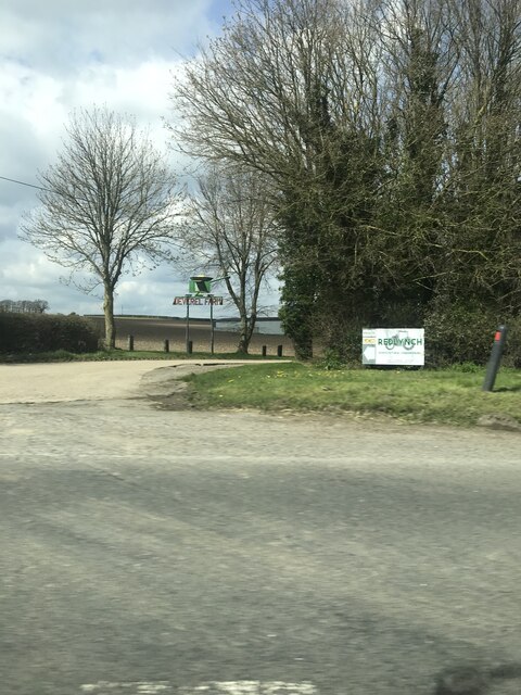
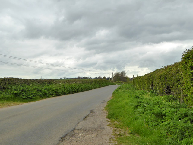
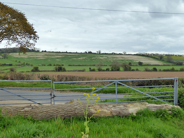
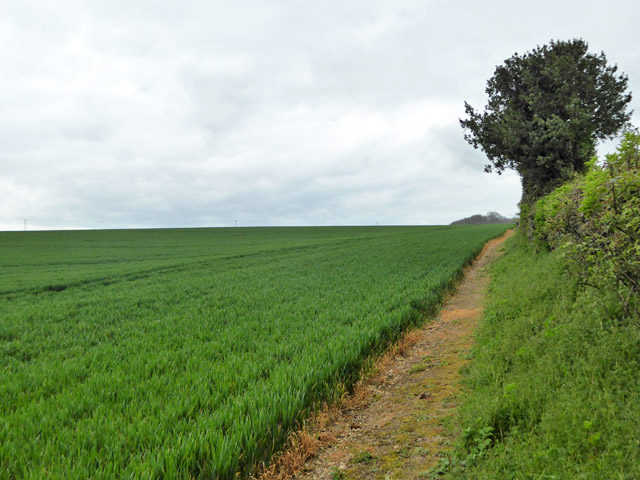
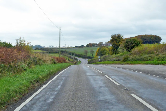
Horse Close Plantation is a picturesque woodland located in the county of Dorset, England. Covering an area of approximately 100 acres, it is a well-preserved example of a plantation forest. The site is nestled in the rolling hills of the Dorset countryside, offering visitors a serene and tranquil escape from the bustling modern world.

The plantation is predominantly composed of broadleaf trees, with species such as oak, beech, and ash dominating the landscape. These majestic trees provide a dense canopy that allows only dappled sunlight to filter through to the forest floor, creating a cool and shaded environment even on hot summer days.

Visitors to Horse Close Plantation can enjoy a variety of activities. There are well-maintained walking trails that meander through the woodland, offering opportunities for leisurely strolls and exploration. The forest is also home to a diverse range of wildlife, including deer, squirrels, and various bird species, making it a popular destination for nature enthusiasts and birdwatchers.

The plantation is managed by the local forestry commission, who ensure the preservation and conservation of the woodland. They actively maintain the trails, remove invasive species, and undertake tree planting programs to sustain the health and biodiversity of Horse Close Plantation.

Overall, Horse Close Plantation is a beautiful and well-managed forest that provides a peaceful retreat for both locals and visitors alike. Its natural beauty, diverse wildlife, and well-maintained trails make it a must-visit destination for nature lovers and those seeking a tranquil escape in the heart of Dorset.

If you have any feedback on the listing, please let us know in the comments section below.

Horse Close Plantation Images

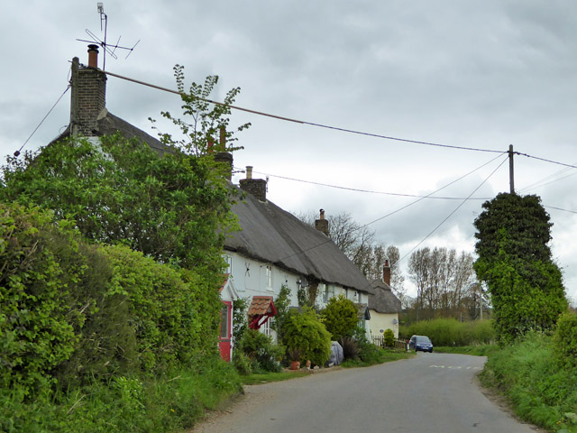
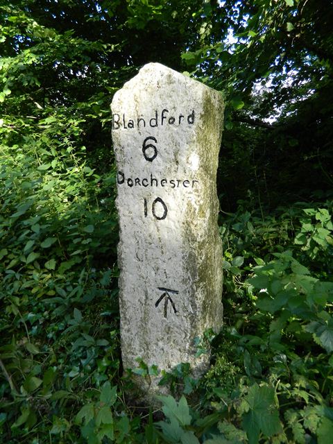
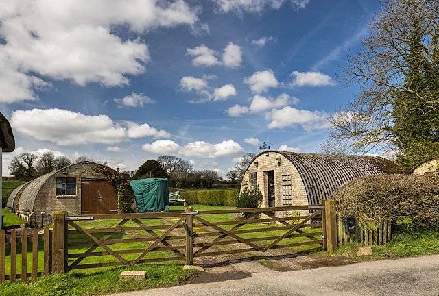
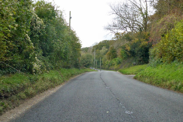
Images are sourced within 2km of 50.779448/-2.2400913 or Grid Reference SY8397. Thanks to Geograph Open Source API. All images are credited.

A354 Deverel Farm
A354 Deverel Farm
Road west from Winterborne Kingston A string of Winterbornes along this road, next, Winterborne Whitechurch.
Road west from Winterborne Kingston
A string of Winterbornes along this road, next, Winterborne Whitechurch.
The Winterborne valley Looking east over the valley between Winterborne Kingston and Winterborne Whitechurch.
The Winterborne valley
Looking east over the valley between Winterborne Kingston and Winterborne Whitechurch.
Footpath climbing out of Winterborne valley Heading in the general direction of West Park Farm.
Footpath climbing out of Winterborne valley
Heading in the general direction of West Park Farm.
Cottages, Lower Street In the parish of Winterborne Whitechurch.
Cottages, Lower Street
In the parish of Winterborne Whitechurch.
Old Milestone by the A354, south west of Winterborne Whitechurch Carved stone post by the A354, in parish of MILBORNE ST ANDREW (NORTH DORSET District), 250m West of entrance road to Field Barn Farm, on bank amongst small trees, on South side of road. Dorset 1 (limestone), erected by the Harnham, Blandford & Dorchester turnpike trust in the 19th century. 
See <span class="nowrap"><a title="https://www.flickr.com/photos/tollhouses/7477983804/in/datetaken/" rel="nofollow ugc noopener" href="https://www.flickr.com/photos/tollhouses/7477983804/in/datetaken/">Link</a><img style="margin-left:2px;" alt="External link" title="External link - shift click to open in new window" src="https://s1.geograph.org.uk/img/external.png" width="10" height="10"/></span> for reverse face.

Inscription reads:-
Blandford
6
Dorchester
10   
Carved benchmark bottom centre of front face.

Grade II Listed. List Entry Number:1324264
<span class="nowrap"><a title="https://historicengland.org.uk/listing/the-list/list-entry/1324264" rel="nofollow ugc noopener" href="https://historicengland.org.uk/listing/the-list/list-entry/1324264">Link</a><img style="margin-left:2px;" alt="External link" title="External link - shift click to open in new window" src="https://s1.geograph.org.uk/img/external.png" width="10" height="10"/></span>

Milestone Society National ID: DO_DOBF10
Old Milestone by the A354, south west of Winterborne Whitechurch
Carved stone post by the A354, in parish of MILBORNE ST ANDREW (NORTH DORSET District), 250m West of entrance road to Field Barn Farm, on bank amongst small trees, on South side of road. Dorset 1 (limestone), erected by the Harnham, Blandford & Dorchester turnpike trust in the 19th century. See LinkExternal link for reverse face. Inscription reads:- Blandford 6 Dorchester 10 Carved benchmark bottom centre of front face. Grade II Listed. List Entry Number:1324264 LinkExternal link Milestone Society National ID: DO_DOBF10
WWII Dorset - Winterborne Whitechurch: Searchlight Battery -
AA Searchlight Battery: DoB ID: e09907

The remains of a wartime AA searchlight battery survive in a private garden at Winterborne Whitechurch in the form of four huts used for accommodation (all of them are just visible), including one that possibly housed a generator. Currently under floodwater is the concrete base for the searchlight itself which survives in an adjacent field. Known as Turner's Curved Asbestos Huts, they were manufactured by the Turner Asbestos Company of Trafford Park, Manchester. Their use dates the searchlight battery from post May 1942, although the battery may have been in operation before then. The huts continue to be used today as garages.
WWII Dorset - Winterborne Whitechurch: Searchlight Battery
- AA Searchlight Battery: DoB ID: e09907 The remains of a wartime AA searchlight battery survive in a private garden at Winterborne Whitechurch in the form of four huts used for accommodation (all of them are just visible), including one that possibly housed a generator. Currently under floodwater is the concrete base for the searchlight itself which survives in an adjacent field. Known as Turner's Curved Asbestos Huts, they were manufactured by the Turner Asbestos Company of Trafford Park, Manchester. Their use dates the searchlight battery from post May 1942, although the battery may have been in operation before then. The huts continue to be used today as garages.
A354 towards Dorchester Climbing away from Winterborne Whitechurch.
A354 towards Dorchester
Climbing away from Winterborne Whitechurch.
A354 towards Dorchester Behind the hedge on the left is a gas valve compound.
A354 towards Dorchester
Behind the hedge on the left is a gas valve compound.
A354 towards Dorchester From Blandford Forum.
A354 towards Dorchester
From Blandford Forum.
Country Road near Bere Regis, Dorset Minor Road between Bere Regis and Milborne St Andrew
Country Road near Bere Regis, Dorset
Minor Road between Bere Regis and Milborne St Andrew
Farm gate and fields near Milborne St Andrew, Dorset From the Bere Regis to Milborne St Andrew road.
Farm gate and fields near Milborne St Andrew, Dorset
From the Bere Regis to Milborne St Andrew road.
Barn at Roke Farm, Bere Regis Most of the farm buildings were rebuilt at the close of the 19th century, but the formerly thatched farmhouse and barn date from the 18th century.
Barn at Roke Farm, Bere Regis
Most of the farm buildings were rebuilt at the close of the 19th century, but the formerly thatched farmhouse and barn date from the 18th century.
Watermill at Roke Farm, Bere Regis The mill was presumably fed from the pond in SY8396, which is marked as ‘Millum Head’ on 1:25 000 maps and is at a higher elevation.
Watermill at Roke Farm, Bere Regis
The mill was presumably fed from the pond in SY8396, which is marked as ‘Millum Head’ on 1:25 000 maps and is at a higher elevation.
Roke Farm, Bere Regis Rather unhelpfully, the group of farm buildings is shown as a single block on some 1:50 000 maps. The picture shows that the barn and watermill are some distance apart
Roke Farm, Bere Regis
Rather unhelpfully, the group of farm buildings is shown as a single block on some 1:50 000 maps. The picture shows that the barn and watermill are some distance apart
Barn House, near Bere Regis Marked as ‘Roke Barn’ on the 1:25 000 map, there would appear to be residential accommodation at this location. The area is surrounded by fields of oilseed rape in early May.
Barn House, near Bere Regis
Marked as ‘Roke Barn’ on the 1:25 000 map, there would appear to be residential accommodation at this location. The area is surrounded by fields of oilseed rape in early May.
Cottages at Lower Street, Winterborne Whitechurch The road is narrow with some tight bends here. The small River Winterborne runs by the roadside on the opposite side to the cottages
Cottages at Lower Street, Winterborne Whitechurch
The road is narrow with some tight bends here. The small River Winterborne runs by the roadside on the opposite side to the cottages
Downland, near to Bere Down Farm, Dorset The Dorset Jubilee Trail stretches away across the downland and into the distance
Downland, near to Bere Down Farm, Dorset
The Dorset Jubilee Trail stretches away across the downland and into the distance
Show me another place!

Horse Close Plantation is located at Grid Ref: SY8397 (Lat: 50.779448, Lng: -2.2400913)

Unitary Authority: Dorset

Police Authority: Dorset

What 3 Words

///initiates.lads.reduction. Near Milborne St Andrew, Dorset

Nearby Locations

Horse Close Plantation

Related Wikis

Whiteway Hundred

Whiteway Hundred was a hundred in the English county of Dorset, containing the following parishes: Cheselbourne Hilton Ibberton Melcombe Horsey Milton...

Duropolis

Duropolis is the name of an archaeological site at Winterborne Kingston in the English county of Dorset, believed to be the remains of the first planned...

Winterborne Whitechurch

Winterborne Whitechurch is a village and civil parish in central Dorset, England, situated in a winterbourne valley on the A354 road on the Dorset Downs...

Bere Regis Hundred

Bere Regis Hundred was a hundred in the county of Dorset, England, containing the following parishes: Bere Regis Winterborne KingstonMilborne Stileham...

Nearby Amenities

Located within 500m of 50.779448,-2.2400913
tumuli
Historic: archaeological_site
Source: NPE
Lat/Long: 50.7773157/-2.2403933
The data included in this document is from www.openstreetmap.org. The data is made available under ODbL.

Have you been to Horse Close Plantation?

Leave your review of Horse Close Plantation below (or comments, questions and feedback).