Blacks Plantation
Wood, Forest in Yorkshire Craven
England
Blacks Plantation
Blacks Plantation is a picturesque woodland located in Yorkshire, England. Situated amidst the stunning countryside, this plantation spans across a vast area, providing visitors with a peaceful and serene environment to connect with nature. The woodland is primarily made up of various species of trees, including oak, beech, and birch, creating a diverse and vibrant ecosystem.
The plantation offers a range of recreational activities for visitors to enjoy. There are well-maintained walking trails that meander through the woodland, allowing visitors to explore the area at their own pace. These trails are suitable for all ages and fitness levels, making it an ideal destination for families and nature enthusiasts alike.
Wildlife is abundant in Blacks Plantation, providing visitors with the opportunity to observe and appreciate the natural biodiversity of the area. Birdwatchers will be delighted by the diverse avian species that can be spotted, including woodpeckers, owls, and finches. In addition, small mammals such as rabbits, squirrels, and hedgehogs can often be seen scurrying through the undergrowth.
Blacks Plantation is also a popular destination for photography enthusiasts, with its stunning natural landscapes and vibrant foliage providing a picturesque backdrop for capturing the beauty of the Yorkshire countryside. The plantation is particularly enchanting during the autumn months when the leaves change color, creating a kaleidoscope of reds, oranges, and yellows.
Overall, Blacks Plantation is a tranquil and captivating woodland that offers visitors a chance to escape the hustle and bustle of everyday life and immerse themselves in the beauty of nature. Whether it's for a leisurely walk, wildlife spotting, or simply to enjoy the peaceful ambiance, this plantation is a must-visit destination for nature lovers in Yorkshire.
If you have any feedback on the listing, please let us know in the comments section below.
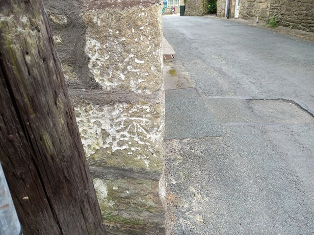
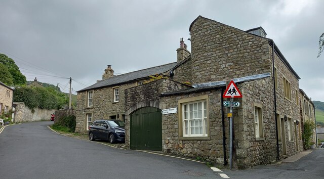
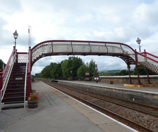
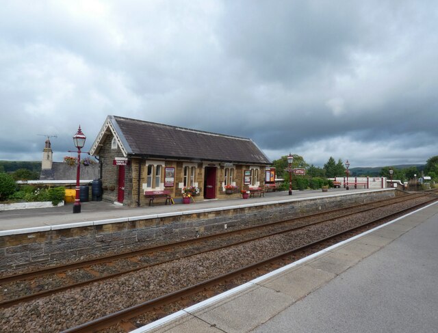
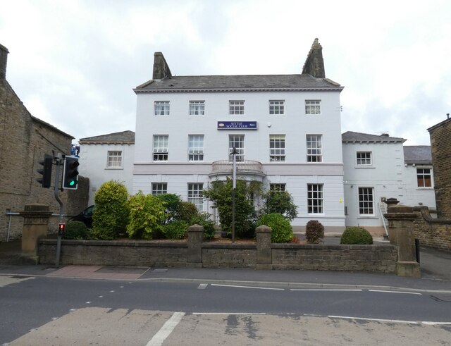
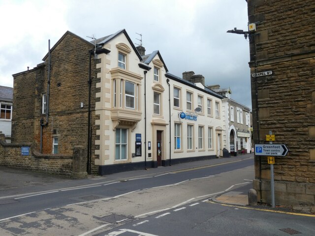
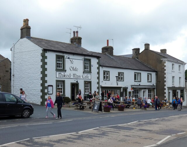
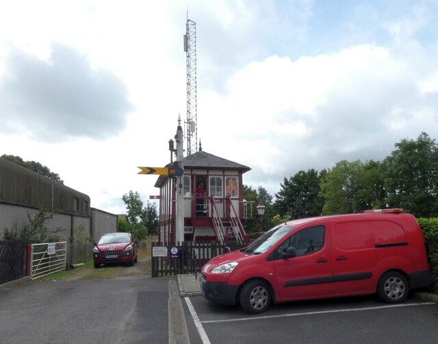
Blacks Plantation Images
Images are sourced within 2km of 54.055/-2.2584843 or Grid Reference SD8362. Thanks to Geograph Open Source API. All images are credited.
Blacks Plantation is located at Grid Ref: SD8362 (Lat: 54.055, Lng: -2.2584843)
Division: West Riding
Administrative County: North Yorkshire
District: Craven
Police Authority: North Yorkshire
What 3 Words
///plays.dazzling.pinging. Near Settle, North Yorkshire
Nearby Locations
Related Wikis

Scaleber Force
Scaleber Force (also known as Scaleber Foss and Scaleber Waterfall), is a 40-foot (12 m) high waterfall on Stockdale Beck, later the Long Preston Beck...

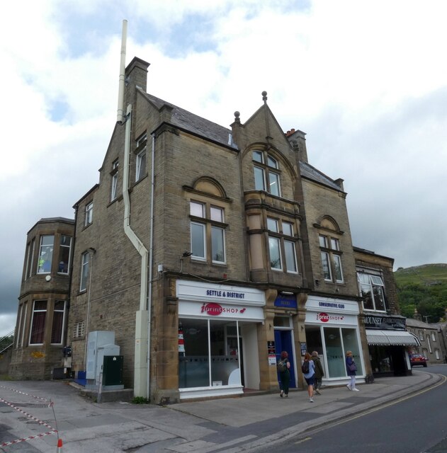
Settle Town Hall
Settle Town Hall is a municipal building in Cheapside in Settle, North Yorkshire, England. The structure, which was the meeting place of Settle Rural District...
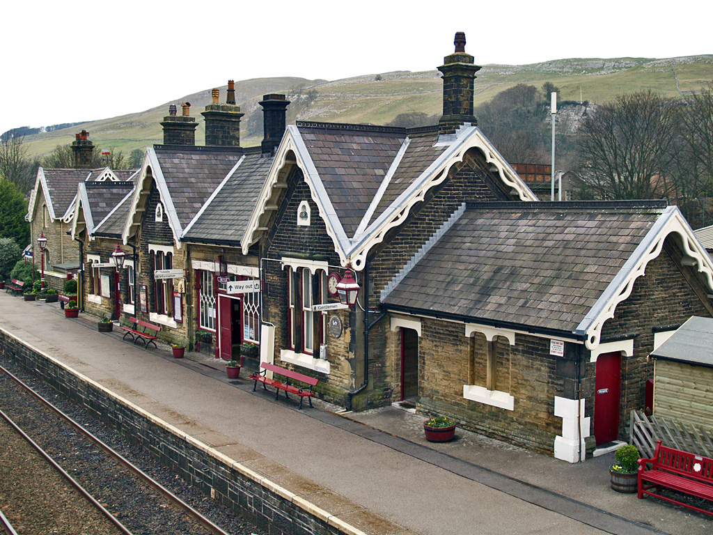
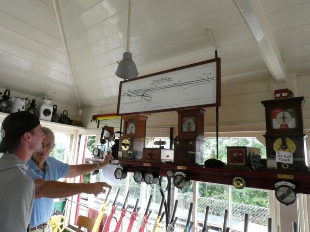
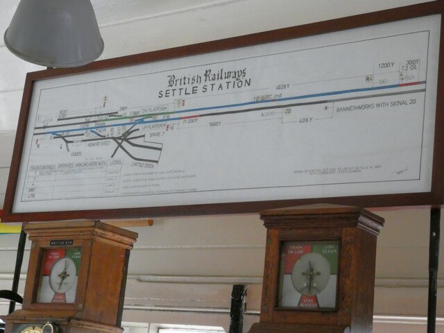
Settle railway station
Settle is a railway station on the Settle and Carlisle Line, which runs between Carlisle and Leeds via Settle. The station, situated 41 miles 37 chains...

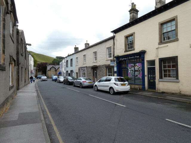
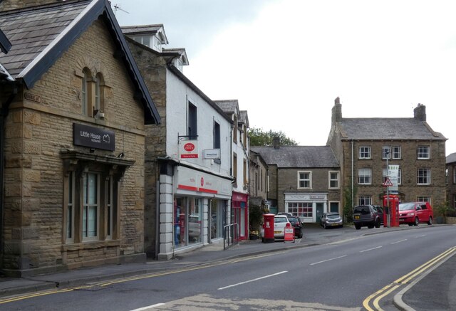
Settle, North Yorkshire
Settle is a market town and civil parish in the Craven district of North Yorkshire, England. Historically in the West Riding of Yorkshire, the town had...

Settle Victoria Hall
Settle Victoria Hall is a Grade II listed concert hall in Kirkgate, Settle, North Yorkshire, England. It is the UK's oldest surviving music hall.Built...

Settle Junction railway station
Settle Junction railway station was located near the town of Settle, North Yorkshire, England, immediately to south of the junction between the Midland...

Settle rail crash
The Settle rail crash was a railway accident that occurred at Langcliffe near Settle, England, on the night of 21 January 1960 in which two trains collided...
Settle Rural District
Settle Rural District was an administrative district in the West Riding of Yorkshire, England. The rural district was named after the town of Settle and...
Related Videos

Walking with Jen: Scaleber Force waterfall
Welcome back to No Obstacle! This week we are heading to Scaleber Force/Foss waterfall near Settle in the UK. This was a more ...

The Settle to Carlisle Line. Exceedingly Cheap Travel on England's most Scenic Railway!
One of the most beautiful, scenic railways, not only in England but the whole world. In this video: 'The Settle to Carlisle Line.

Settle, North Yorkshire
biblequote #hiking #hikeuk #hike #walkinguk #walkuk #walk #walking #backpacking #christian #outdoors #outdoor #wanderlust ...

Yorkshire Dales 10mile walk. Settle & Craven lime works. Holiday Vlog 2021| P3
10 mile circular walk from Settle up to Feizor (with awesome views of the Yorkshire Dales), followed by a visit to the old Craven ...
Nearby Amenities
Located within 500m of 54.055,-2.2584843Have you been to Blacks Plantation?
Leave your review of Blacks Plantation below (or comments, questions and feedback).