Water Wheel Covert

Wood, Forest in Worcestershire Malvern Hills

England

Water Wheel Covert

Footbridges at the junction of footpaths near Blackmore End
Footbridges at the junction of footpaths near Blackmore End Credit: peter robinson

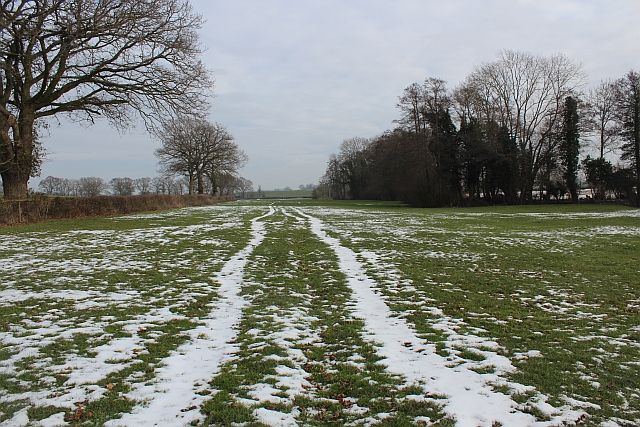
Water Wheel Covert is a picturesque woodland located in Worcestershire, England. Situated within the larger area known as the Wyre Forest, it covers a total area of approximately 200 acres. The covert is named after the historic water wheel that once operated in the area, harnessing the power of the nearby stream.

The woodland is characterized by its diverse range of tree species, including oak, beech, and birch, which create a vibrant and ever-changing landscape throughout the seasons. The dense canopy provides shelter and a habitat for numerous wildlife species, such as deer, badgers, and a variety of bird species, making it a popular spot for nature enthusiasts and birdwatchers.

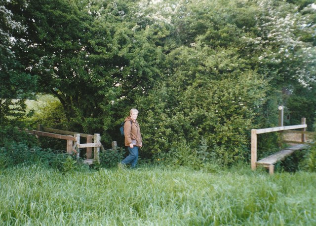
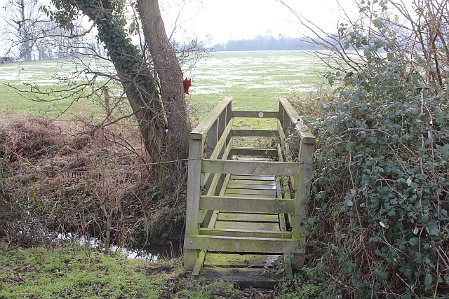
Visitors to Water Wheel Covert can enjoy a network of well-maintained walking trails that wind through the woodland, offering a chance to immerse themselves in nature and discover the hidden gems within the forest. The trails vary in difficulty, catering to both casual strollers and more experienced hikers. Along the way, walkers will encounter tranquil streams, charming bridges, and occasional glimpses of the water wheel ruins, adding a touch of history to the natural beauty.

Water Wheel Covert is managed by the local authorities, who are dedicated to preserving its unique ecosystem and promoting biodiversity. Efforts have been made to plant native species and manage invasive plants to maintain the health of the woodland. Educational programs and guided tours are also available to raise awareness about the importance of conservation and the ecological value of the area.

Overall, Water Wheel Covert offers a serene and enchanting retreat for those seeking a peaceful escape in the heart of Worcestershire's woodlands.

If you have any feedback on the listing, please let us know in the comments section below.

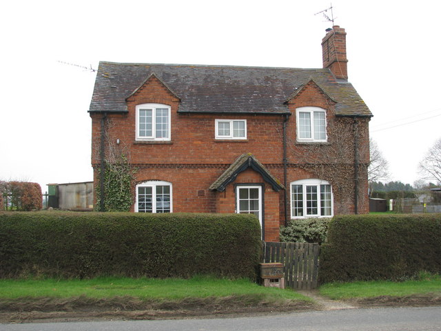
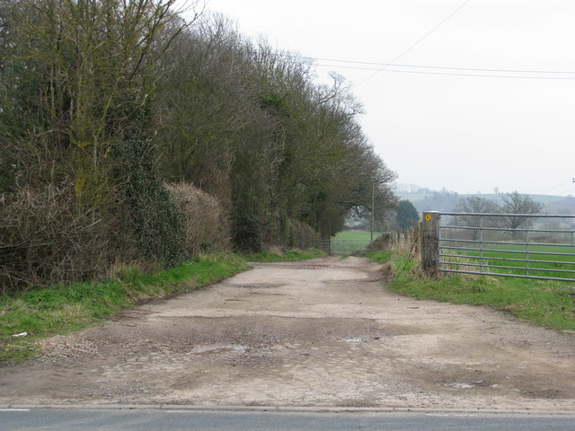
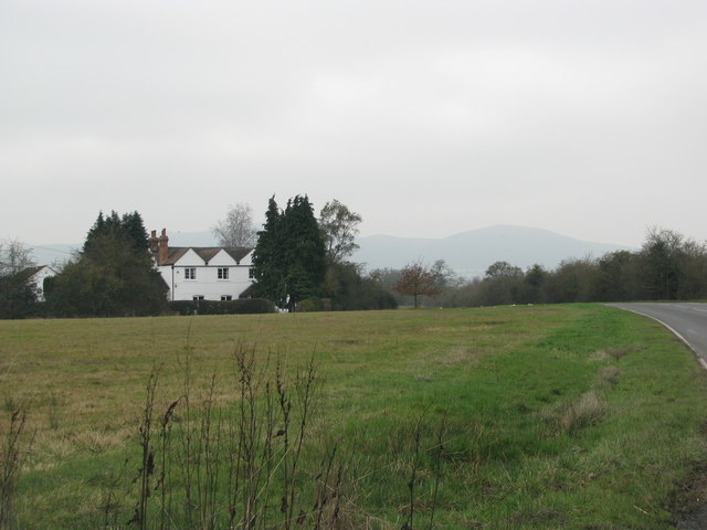
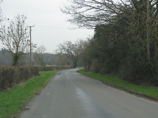
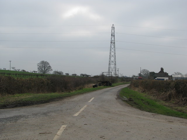
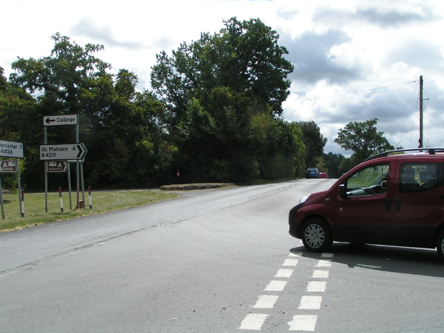
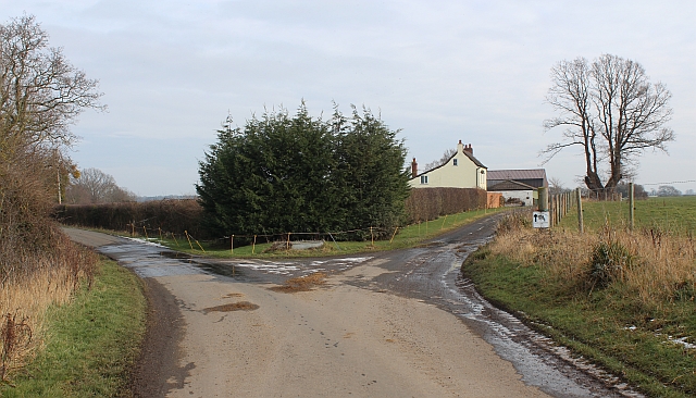
Water Wheel Covert Images

Images are sourced within 2km of 52.097186/-2.2470211 or Grid Reference SO8344. Thanks to Geograph Open Source API. All images are credited.

Footbridges at the junction of footpaths near Blackmore End
Brick-built roadside house
Track down the side of Cliffey Wood
Field by the white house near Rhydd
Minor road on the northern edge of Guarlford
Pylons cross the road near White House Farm
B4424 at Rydd
B4424 at Rydd
The old pump house and Gilbert's End
Hangman's Lane - Green Lane junction Hangmans Lane forks to the left while the lane to the right becomes an unmetalled "green lane" after Broadacres Farm.
Hangman's Lane - Green Lane junction
Hangmans Lane forks to the left while the lane to the right becomes an unmetalled "green lane" after Broadacres Farm.
Snow field, Hanley Swan An interesting long narrow field with a stream on the right hand boundary.
Snow field, Hanley Swan
An interesting long narrow field with a stream on the right hand boundary.
Snow field, Hanley Swan An interesting long narrow field with a stream bordering its southern edge.
The Malvern Hills can be seen in the distance.
Snow field, Hanley Swan
An interesting long narrow field with a stream bordering its southern edge. The Malvern Hills can be seen in the distance.
Wooden Bridge near Hanley Swan Attached to the tree on the far side is a maple leaf memorial to Canadians killed in a mid air collision during WWII.
<a href="https://www.geograph.org.uk/photo/2806694">SO8243 : Footbridge and Maple Leaf memorial, Hanley Swan</a>
Wooden Bridge near Hanley Swan
Attached to the tree on the far side is a maple leaf memorial to Canadians killed in a mid air collision during WWII. SO8243 : Footbridge and Maple Leaf memorial, Hanley Swan
Canadian memorial near Hanley Swan In memory of the seven Canadian airmen who died in a mid-air collision between two Wellington bombers on the 11th August 1944.
<a href="https://www.geograph.org.uk/photo/2806687">SO8243 : Names on the Canadian War Memorial, Hanley Swan</a>
<a href="https://www.geograph.org.uk/photo/2806673">SO8243 : Plaque on the Canadian War Memorial, Hanley Swan</a>
<a href="https://www.geograph.org.uk/photo/2806694">SO8243 : Footbridge and Maple Leaf memorial, Hanley Swan</a>
Canadian memorial near Hanley Swan
In memory of the seven Canadian airmen who died in a mid-air collision between two Wellington bombers on the 11th August 1944. SO8243 : Names on the Canadian War Memorial, Hanley Swan SO8243 : Plaque on the Canadian War Memorial, Hanley Swan SO8243 : Footbridge and Maple Leaf memorial, Hanley Swan
Plaque on the Canadian War Memorial, Hanley Swan Dedicated to the memory of seven
Canadian airmen who lost their lives
as a result of a mid-air collision
between two Wellington bombers on the
11th August 1944.
Wellington MF 591 struggled back to base at
Honeybourne.
Wellington LP 618 crashed in a field near
Hanley Swan. Only the pilot survived.

<a href="https://www.geograph.org.uk/photo/2806694">SO8243 : Footbridge and Maple Leaf memorial, Hanley Swan</a>
Plaque on the Canadian War Memorial, Hanley Swan
Dedicated to the memory of seven Canadian airmen who lost their lives as a result of a mid-air collision between two Wellington bombers on the 11th August 1944. Wellington MF 591 struggled back to base at Honeybourne. Wellington LP 618 crashed in a field near Hanley Swan. Only the pilot survived. SO8243 : Footbridge and Maple Leaf memorial, Hanley Swan
Names on the Canadian War Memorial, Hanley Swan The plaque lists the Canadian airmen who died in the two colliding Wellington bombers under the serial number of the planes:

MF 591
P.O. J. Shwaikoski. aged 30

LP618
Sgt. L.M Lysak. aged 31
Sgt. A.E. Kidney. aged 26
Sgt. G.O. Prime. aged 24
Sgt. L.C. Lamb. aged 24
Sgt. H.G. Round. aged 21
Sgt. L.H. Fraser. aged 20

We will remember them.

<a href="https://www.geograph.org.uk/photo/2806694">SO8243 : Footbridge and Maple Leaf memorial, Hanley Swan</a>
Names on the Canadian War Memorial, Hanley Swan
The plaque lists the Canadian airmen who died in the two colliding Wellington bombers under the serial number of the planes: MF 591 P.O. J. Shwaikoski. aged 30 LP618 Sgt. L.M Lysak. aged 31 Sgt. A.E. Kidney. aged 26 Sgt. G.O. Prime. aged 24 Sgt. L.C. Lamb. aged 24 Sgt. H.G. Round. aged 21 Sgt. L.H. Fraser. aged 20 We will remember them. SO8243 : Footbridge and Maple Leaf memorial, Hanley Swan
Footbridge and Maple Leaf memorial, Hanley Swan The memorial is to the Canadian airmen who died from a mid air collision during WWII.
<a href="https://www.geograph.org.uk/photo/2806661">SO8243 : Canadian memorial near Hanley Swan</a>
<a href="https://www.geograph.org.uk/photo/2806673">SO8243 : Plaque on the Canadian War Memorial, Hanley Swan</a>
<a href="https://www.geograph.org.uk/photo/2806687">SO8243 : Names on the Canadian War Memorial, Hanley Swan</a>
Footbridge and Maple Leaf memorial, Hanley Swan
Snow patterns in pasture near Hanley Swan The thaw is reducing the snow on the grass covered pasture revealing the churned up areas months after the water troughs or feeders have moved on.
Snow patterns in pasture near Hanley Swan
The thaw is reducing the snow on the grass covered pasture revealing the churned up areas months after the water troughs or feeders have moved on.
The B4209 into Hanley Swan The road passes through the cross roads by the village green and pond then continues to the Three-Counties cross roads and straight on towards the A449 running along the side of the Malvern Hills.
The B4209 into Hanley Swan
The road passes through the cross roads by the village green and pond then continues to the Three-Counties cross roads and straight on towards the A449 running along the side of the Malvern Hills.
Show me another place!

Water Wheel Covert is located at Grid Ref: SO8344 (Lat: 52.097186, Lng: -2.2470211)

Administrative County: Worcestershire

District: Malvern Hills

Police Authority: West Mercia

What 3 Words

///protests.onwards.bleaching. Near Upton upon Severn, Worcestershire

Related Wikis

The Rhydd

The Rhydd (formerly Rhydd Court) is an English country house alongside the River Severn, near the village of Hanley Castle, Worcestershire, about halfway...

Guarlford

Guarlford is a village and civil parish in the Malvern Hills district in the county of Worcestershire, England. The parish population was 261 in 2021.The...

Hanley Castle

Hanley Castle is a village and civil parish in Worcestershire, England, between the towns of Malvern and Upton upon Severn and a short distance from the...

British National Fencing Museum

The British National Fencing Museum is the national museum for Great Britain for the sport and martial art of fencing.The museum opened during the year...

Nearby Amenities

Located within 500m of 52.097186,-2.2470211
Power: pole
Lat/Long: 52.0988276/-2.2411573
Power: pole
Lat/Long: 52.0973694/-2.2539219
Power: pole
Lat/Long: 52.0974944/-2.2528781
Sink Farm
Power: pole
Transformer: distribution
Voltage Primary: 11000
Lat/Long: 52.0955384/-2.2519491
Power: pole
Lat/Long: 52.0962407/-2.252267
Power: pole
Lat/Long: 52.0968932/-2.2525808
Power: pole
Lat/Long: 52.0975199/-2.2526866
Power: pole
Lat/Long: 52.0981422/-2.2519907
Power: pole
Lat/Long: 52.0987543/-2.2513095
Power: pole
Lat/Long: 52.0993813/-2.2506107
Power: pole
Lat/Long: 52.1000091/-2.2499173
Power: pole
Lat/Long: 52.1005214/-2.2493608
Power: pole
Lat/Long: 52.1011879/-2.2486293
Power: pole
Lat/Long: 52.1014095/-2.2479299
Power: pole
Transformer: distribution
Lat/Long: 52.101683/-2.2471896
Power: pole
Lat/Long: 52.0962143/-2.2401166
Power: pole
Lat/Long: 52.096735/-2.2407281
Power: pole
Lat/Long: 52.0972854/-2.2412914
Power: pole
Lat/Long: 52.0978473/-2.2419083
Power: pole
Lat/Long: 52.0990451/-2.2431582
Power: pole
Lat/Long: 52.0996103/-2.2437269
Power: pole
Lat/Long: 52.0984948/-2.242544
Power: pole
Lat/Long: 52.1001474/-2.2443438
Power: pole
Lat/Long: 52.1007027/-2.2449285
Power: pole
Lat/Long: 52.1012546/-2.2455239
Hangman's Lane
Power: pole
Transformer: distribution
Voltage Primary: 11000
Lat/Long: 52.0943404/-2.2473659
Power: pole
Lat/Long: 52.0944363/-2.2486386
Power: pole
Lat/Long: 52.0949772/-2.2496874
Power: pole
Lat/Long: 52.0954897/-2.2506838
The data included in this document is from www.openstreetmap.org. The data is made available under ODbL.

Have you been to Water Wheel Covert?

Leave your review of Water Wheel Covert below (or comments, questions and feedback).