Smokeacre Covert
Wood, Forest in Worcestershire Malvern Hills
England
Smokeacre Covert
Smokeacre Covert is a picturesque woodland located in Worcestershire, England. Situated in close proximity to the village of Wood, the covert covers an area of approximately 50 acres and is a popular destination for nature enthusiasts and outdoor enthusiasts.
The woodland is predominantly composed of a mixture of broadleaf trees, including oak, beech, and ash, creating a diverse and vibrant ecosystem. The dense canopy provides ample shade, making it an ideal habitat for a variety of flora and fauna. Wildflowers such as bluebells and primroses can be found in abundance during the spring months, adding a splash of color to the woodland floor.
Smokeacre Covert is home to a wealth of wildlife, including deer, squirrels, badgers, and a wide range of bird species. Birdwatchers often visit the area to catch a glimpse of woodland birds such as woodpeckers, nuthatches, and thrushes.
The woodland is crisscrossed by a network of well-maintained footpaths, allowing visitors to explore the area at their own pace. These paths lead visitors through a variety of habitats, including open glades, dense woodland, and peaceful streams. The peaceful ambiance of the covert makes it an ideal location for walking, jogging, and dog-walking.
Overall, Smokeacre Covert offers visitors a tranquil escape from the hustle and bustle of everyday life. Whether you are a nature lover, a wildlife enthusiast, or simply seeking a quiet and serene environment, this woodland retreat is a must-visit destination in Worcestershire.
If you have any feedback on the listing, please let us know in the comments section below.
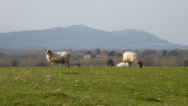
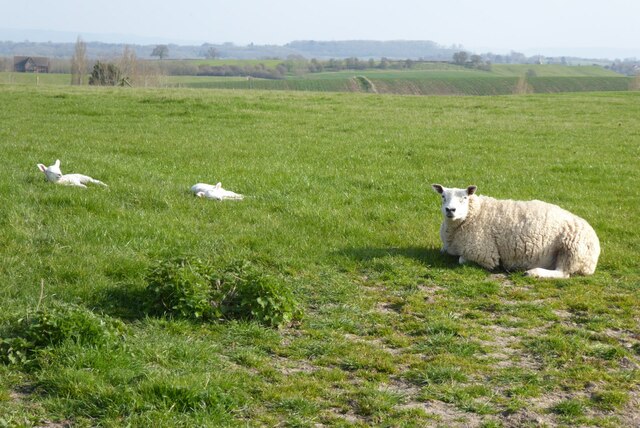
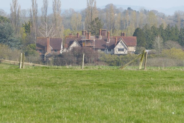
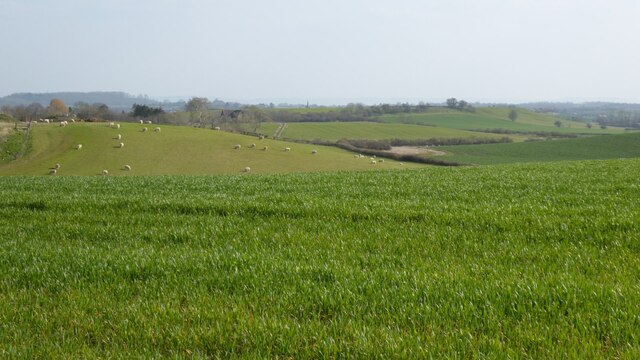
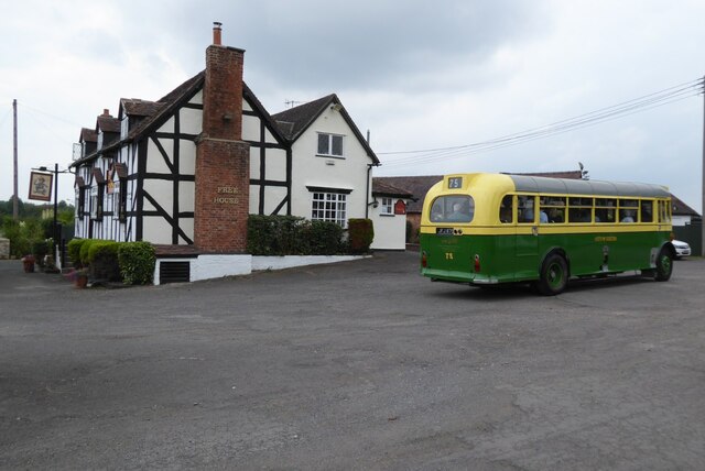
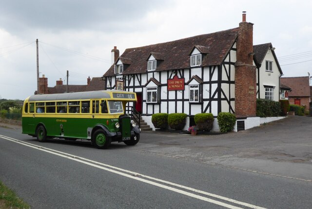
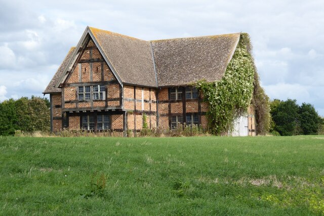
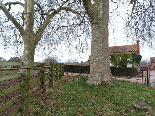
Smokeacre Covert Images
Images are sourced within 2km of 52.050812/-2.2469983 or Grid Reference SO8339. Thanks to Geograph Open Source API. All images are credited.


Smokeacre Covert is located at Grid Ref: SO8339 (Lat: 52.050812, Lng: -2.2469983)
Administrative County: Worcestershire
District: Malvern Hills
Police Authority: West Mercia
What 3 Words
///laugh.crystals.socialite. Near Upton upon Severn, Worcestershire
Nearby Locations
Related Wikis
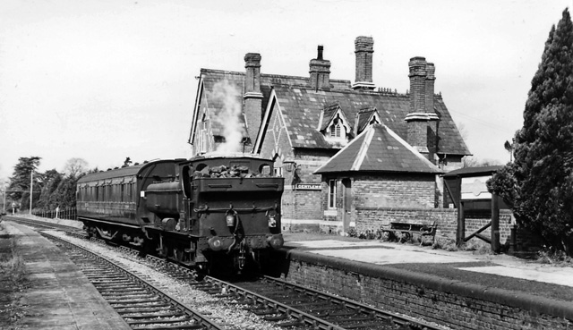
Upton-on-Severn railway station
Upton-on-Severn railway station was a railway station serving Upton-on-Severn in the English county of Worcestershire. == History == It was opened...

Hanley Castle (castle)
Hanley Castle was a Norman castle that stood to the south of the present-day site of the village of Hanley Castle, which lies 2 km north of Upton-upon...
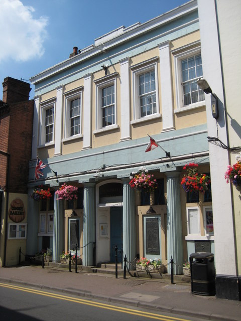
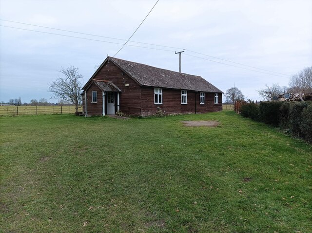
Upton-upon-Severn Memorial Hall
Upton-upon-Severn Memorial Hall, formerly known as Upton-upon-Severn Town Hall, is a municipal building in Old Street in Upton-upon-Severn, a town in Worcestershire...

Holdfast, Worcestershire
Holdfast is a civil parish in the Malvern Hills District of the county of Worcestershire, England. It is one of three administered by the Parish Council...
Nearby Amenities
Located within 500m of 52.050812,-2.2469983Have you been to Smokeacre Covert?
Leave your review of Smokeacre Covert below (or comments, questions and feedback).