Helliwell Wood
Wood, Forest in Lancashire Pendle
England
Helliwell Wood
Helliwell Wood is a picturesque woodland located in the county of Lancashire, England. Situated near the town of Rossendale, this woodland is a popular destination among nature enthusiasts and outdoor adventurers alike. Spanning over an area of approximately 50 acres, Helliwell Wood offers visitors a serene and tranquil environment to explore and unwind.
The woodland is predominantly covered by a mixture of deciduous and coniferous trees, creating a diverse and vibrant ecosystem. These trees include oak, beech, birch, and pine, among others, providing a stunning display of colors throughout the year. The forest floor is adorned with a variety of wildflowers, such as bluebells and primroses, adding to the natural beauty of the wood.
Helliwell Wood features several well-maintained walking trails, allowing visitors to explore the woodland at their own pace. These paths wind through the trees, offering glimpses of wildlife and providing opportunities for birdwatching. The wood is home to various bird species, including woodpeckers, song thrushes, and tawny owls, making it a haven for bird enthusiasts.
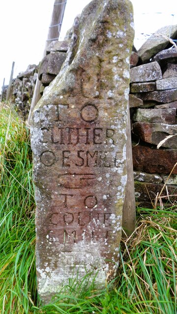
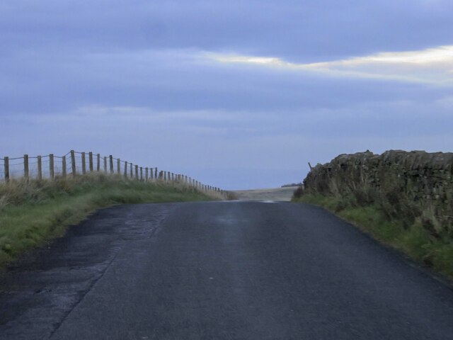
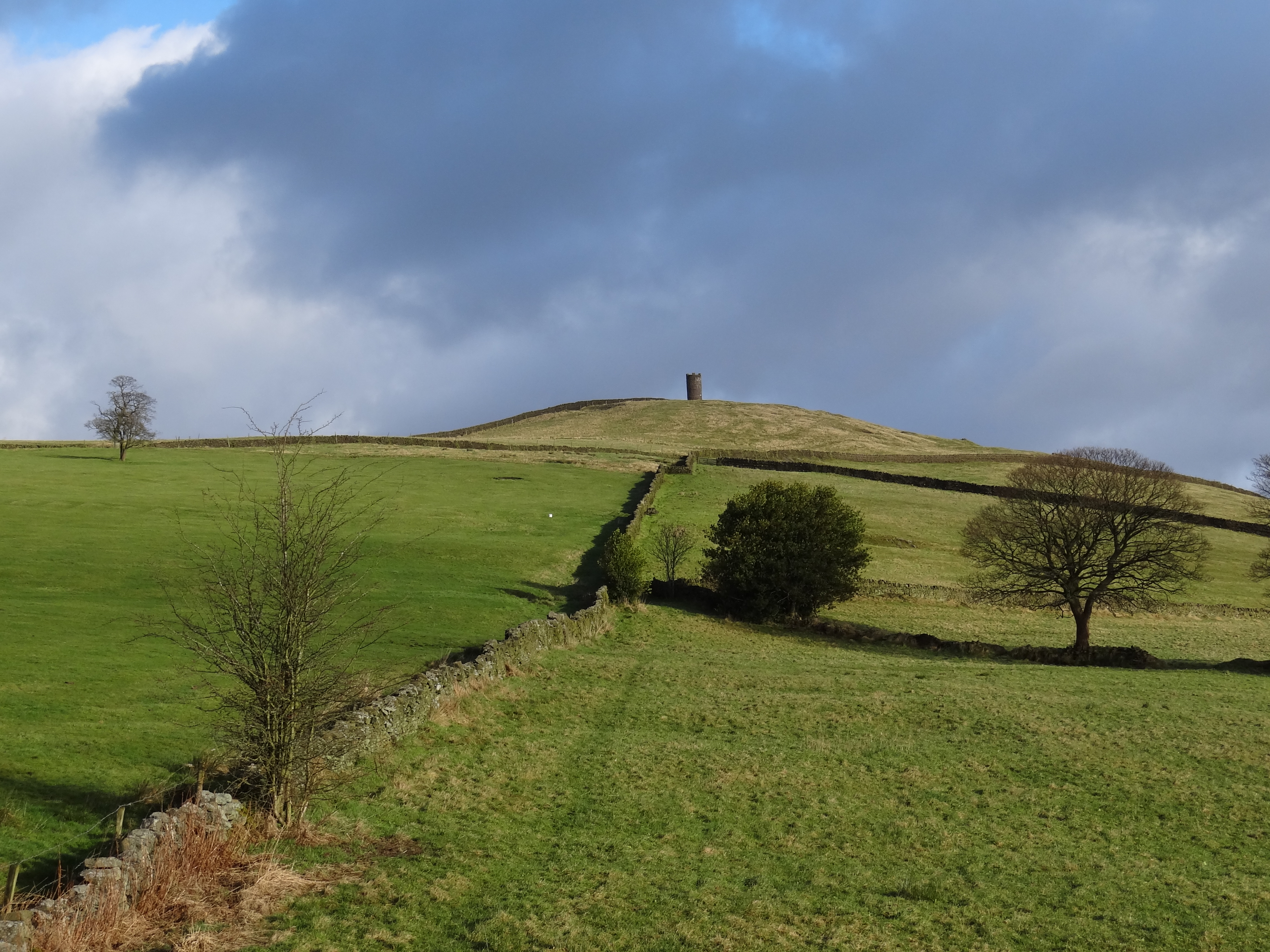
In addition to its natural beauty, Helliwell Wood also has a rich history. It is believed that the wood has been in existence since medieval times and was once part of a larger forest that covered the area. Remnants of old stone walls and structures can still be found within the woodland, providing a glimpse into its past.
Overall, Helliwell Wood is a captivating destination that offers visitors an escape from the hustle and bustle of everyday life. With its stunning scenery, diverse wildlife, and rich history, it is a place that truly showcases the beauty of Lancashire's natural landscape.
If you have any feedback on the listing, please let us know in the comments section below.
Helliwell Wood Images
Images are sourced within 2km of 53.880873/-2.2576971 or Grid Reference SD8342. Thanks to Geograph Open Source API. All images are credited.


Helliwell Wood is located at Grid Ref: SD8342 (Lat: 53.880873, Lng: -2.2576971)
Administrative County: Lancashire
District: Pendle
Police Authority: Lancashire
What 3 Words
///playroom.harp.runner. Near Barrowford, Lancashire
Nearby Locations
Related Wikis

Black Moss Reservoirs
Upper and Lower Black Moss Reservoirs are reservoirs close to the village of Barley, in the Borough of Pendle, close to the market town of Burnley, England...

Twiston
Twiston is a village and a civil parish in the Ribble Valley District, in the English county of Lancashire. It is near the town of Clitheroe and the village...

Barley-with-Wheatley Booth
Barley-with-Wheatley Booth is a civil parish in the Pendle district of Lancashire, England. It has a population of 298, and contains the village of Barley...

Barley, Lancashire
Barley is a village in the borough of Pendle, in Lancashire, England. It is in the civil parish of Barley-with-Wheatley Booth. The village lies between...
Roughlee
Roughlee is a village in the civil parish of Roughlee Booth, in the Pendle district, in the county of Lancashire, England. It is close to Nelson, Barrowford...

Roughlee Booth
Roughlee Booth is a civil parish located in Pendle, Lancashire. It is approximately 449.43 hectares in size and situated in the Forest of Bowland AONB...

Middop
Middop is a rural hamlet and civil parish in Lancashire, England. It is in Ribble Valley district. Middop is near the villages of Rimington and Gisburn...
Blacko
Blacko is a village and civil parish in the Pendle district of Lancashire, England. Before local government reorganisation in 1974 the village lay on...
Nearby Amenities
Located within 500m of 53.880873,-2.2576971Have you been to Helliwell Wood?
Leave your review of Helliwell Wood below (or comments, questions and feedback).