Ashen Copse
Wood, Forest in Somerset Mendip
England
Ashen Copse
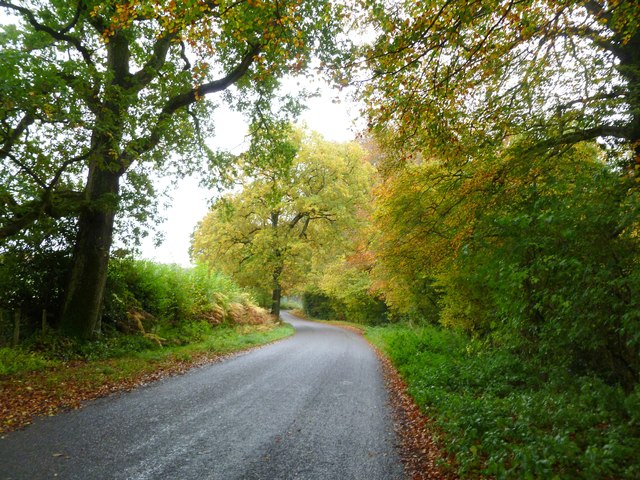
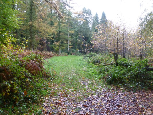
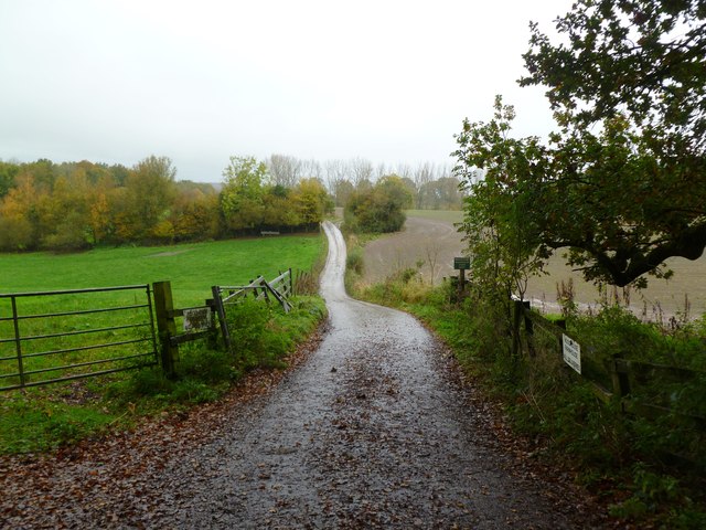
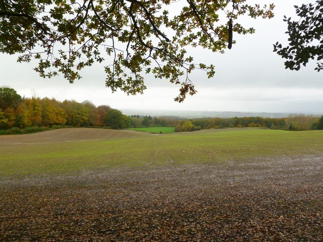
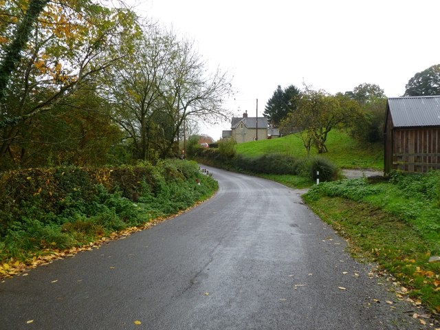
Ashen Copse, located in Somerset, England, is a serene and enchanting woodland area that spans approximately 50 acres. Situated in the heart of the county, Ashen Copse is a popular destination for nature enthusiasts, hikers, and those seeking a peaceful retreat from the hustle and bustle of everyday life.
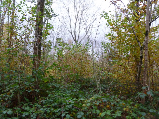
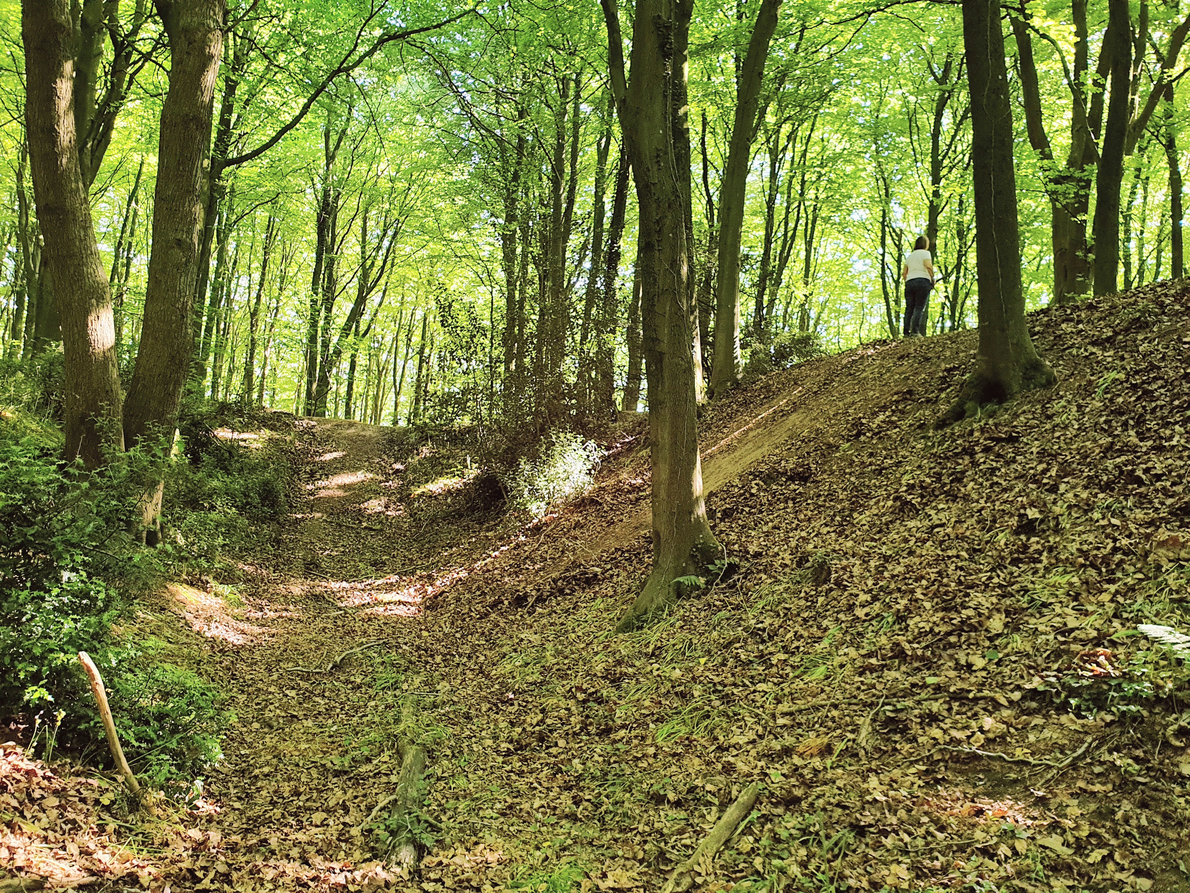
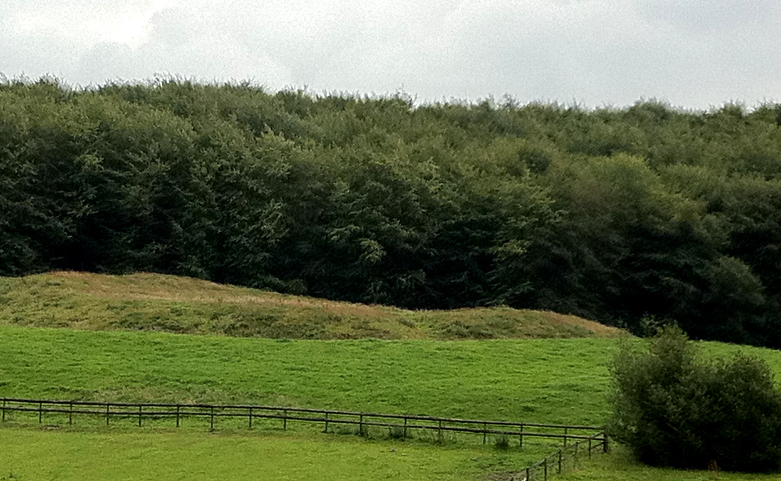
The copse is characterized by its dense canopy of majestic trees, including oak, beech, and ash, which provide a haven for a diverse range of flora and fauna. The woodland floor is carpeted with a rich tapestry of wildflowers, ferns, and mosses, creating a vibrant and picturesque landscape. The air is filled with the soothing sounds of chirping birds and rustling leaves, adding to the tranquil ambiance of the forest.
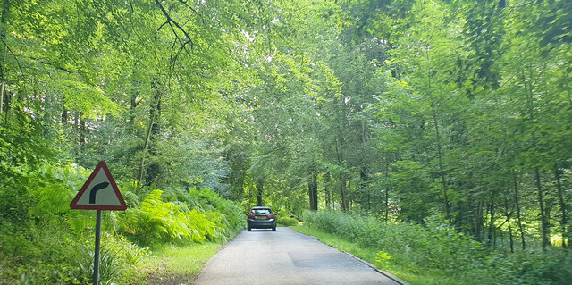
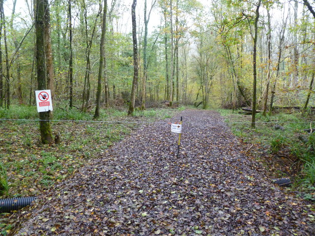
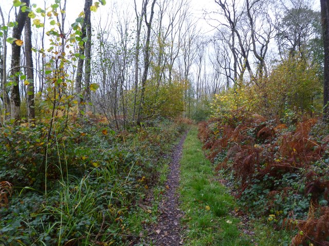
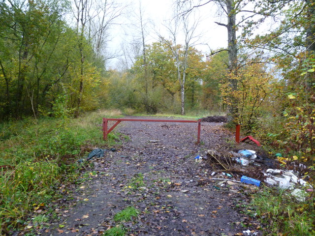
Visitors to Ashen Copse can explore a network of well-maintained footpaths that wind their way through the woodland, offering panoramic views of the surrounding countryside. The copse also features a small stream that meanders through the trees, providing a refreshing spot for visitors to rest and take in the natural beauty.
Nature lovers will be delighted to discover a variety of wildlife in Ashen Copse. The woodland is home to deer, foxes, badgers, and a plethora of bird species, making it a haven for wildlife enthusiasts and photographers.
Ashen Copse also plays an important role in conservation efforts as it is managed by a local trust, which ensures the protection and preservation of its natural habitat. The trust organizes regular events and guided walks, allowing visitors to learn more about the woodland's ecology and history.
Overall, Ashen Copse is a captivating destination that offers a peaceful escape into nature, providing a perfect setting for relaxation, exploration, and appreciation of Somerset's natural beauty.
If you have any feedback on the listing, please let us know in the comments section below.
Ashen Copse Images
Images are sourced within 2km of 51.182103/-2.2993782 or Grid Reference ST7942. Thanks to Geograph Open Source API. All images are credited.

Ashen Copse is located at Grid Ref: ST7942 (Lat: 51.182103, Lng: -2.2993782)
Administrative County: Somerset
District: Mendip
Police Authority: Avon and Somerset
What 3 Words
///paid.hero.stooping. Near Frome, Somerset
Nearby Locations
Related Wikis

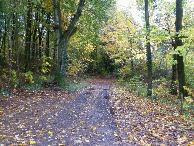
Longleat Woods
Longleat Woods (grid reference ST795435) is a 249.9 hectare (617.4 acre) biological Site of Special Scientific Interest south of Frome in Somerset, notified...
Roddenbury Hillfort
Roddenbury Hillfort is a univallate Iron Age hillfort in the parish of Selwood, Somerset, England. It is a Scheduled Monument and it was on the Heritage...

Church of St Katherine, East Woodlands
The Anglican Church of St Katherine in East Woodlands, Selwood, Somerset, England was built around 1712. It is a Grade II* listed building. == History... ==

Bradley Woods
Bradley Woods (grid reference ST789410) is an area of woodland in Wiltshire, south of Longleat Woods and north of Gare Hill. A 48.7 hectare area within...
Hales Castle
Hales Castle was a medieval castle that once stood overlooking the town of Frome in the Mendip district of Somerset, England. It has been scheduled as...

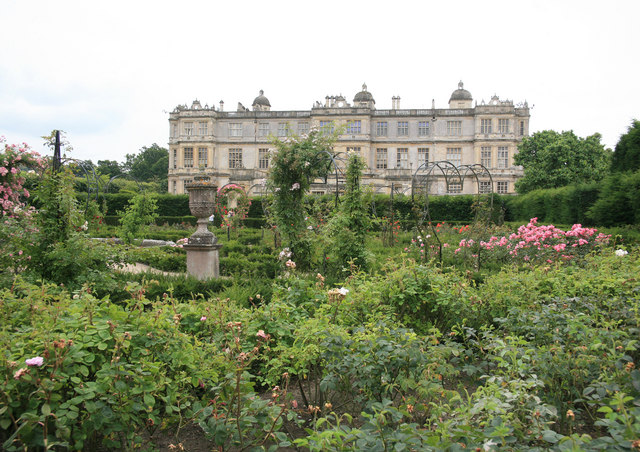
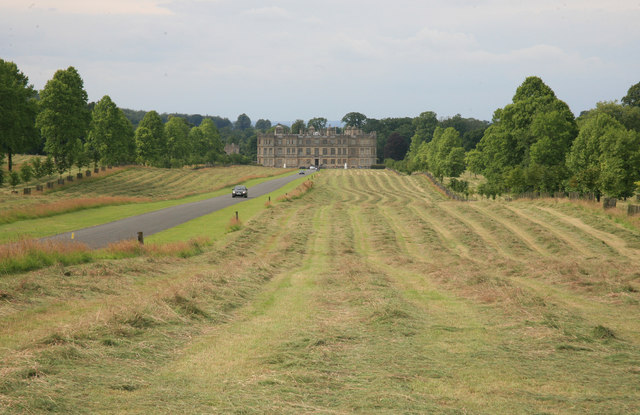
Longleat
Longleat is a stately home about 4 miles (7 km) west of Warminster in Wiltshire, England. A leading and early example of the Elizabethan prodigy house...
Longleat Priory
Longleat Priory was a priory near Warminster, Wiltshire, in the south of England. A short-lived priory was established and dissolved near to Longleat in...

Frome Clay
The Frome Clay is a geological formation in England. It preserves fossils dating back to the Bathonian stage of the Middle Jurassic period. == See also... ==
Nearby Amenities
Located within 500m of 51.182103,-2.2993782Have you been to Ashen Copse?
Leave your review of Ashen Copse below (or comments, questions and feedback).