Gully Coppice

Wood, Forest in Wiltshire

England

Gully Coppice

Road to the Longleat Safari park
Road to the Longleat Safari park Credit: Helen Steed

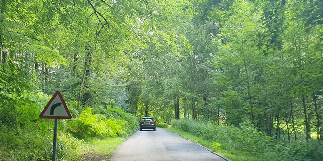
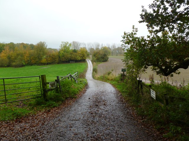
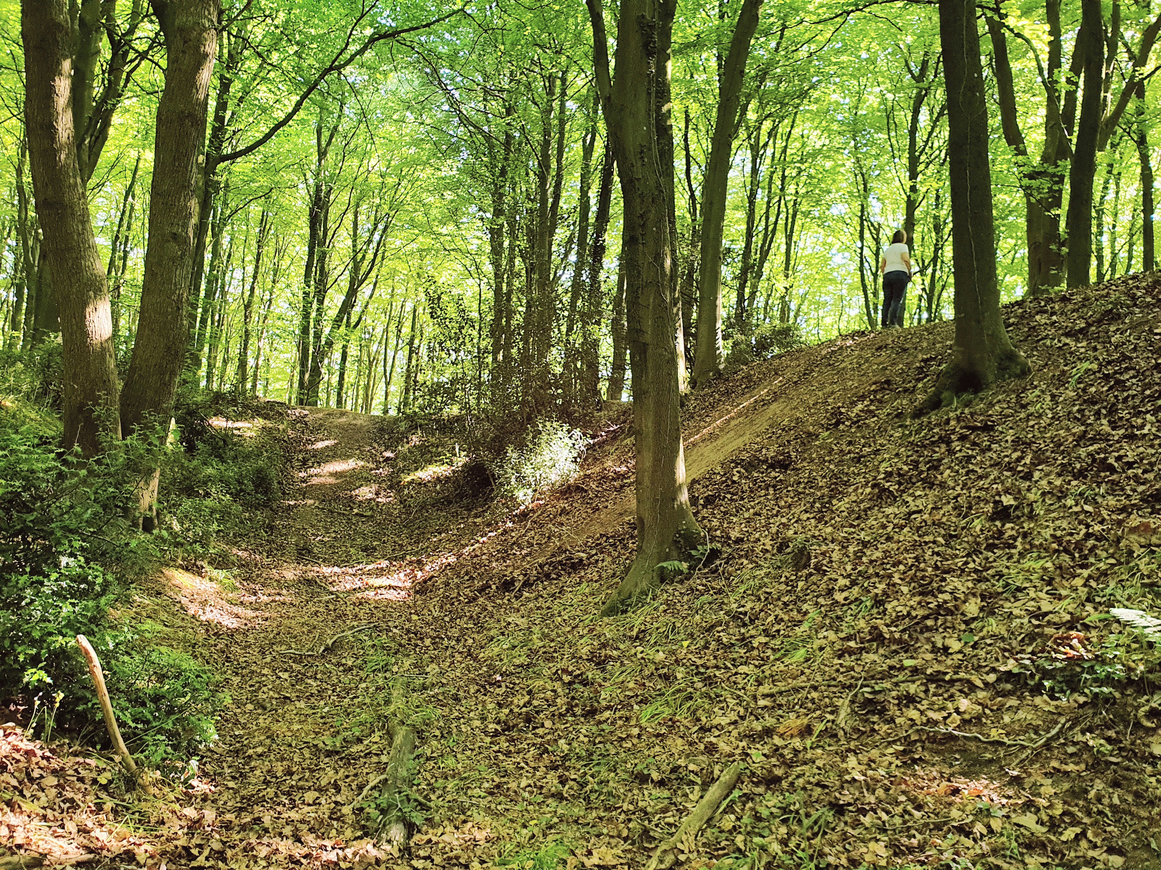
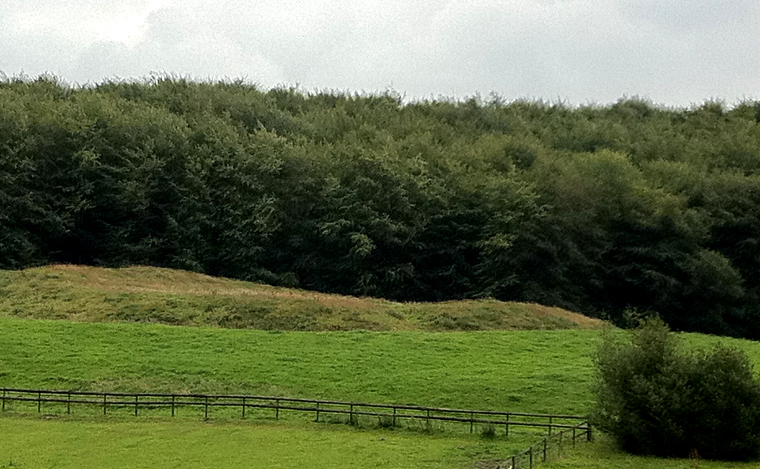
Gully Coppice is a picturesque wood located in the county of Wiltshire, England. Situated near the village of Gully, the coppice covers an area of approximately 50 acres. It is a well-known destination for nature enthusiasts and offers a tranquil escape from the hustle and bustle of everyday life.

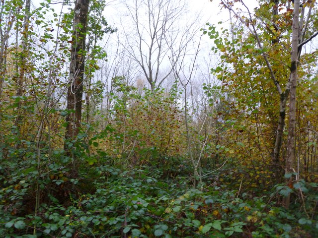
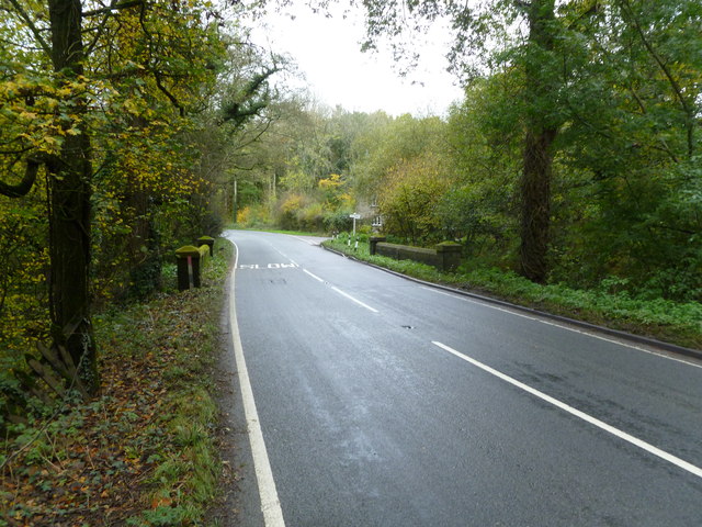
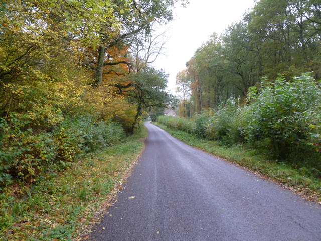
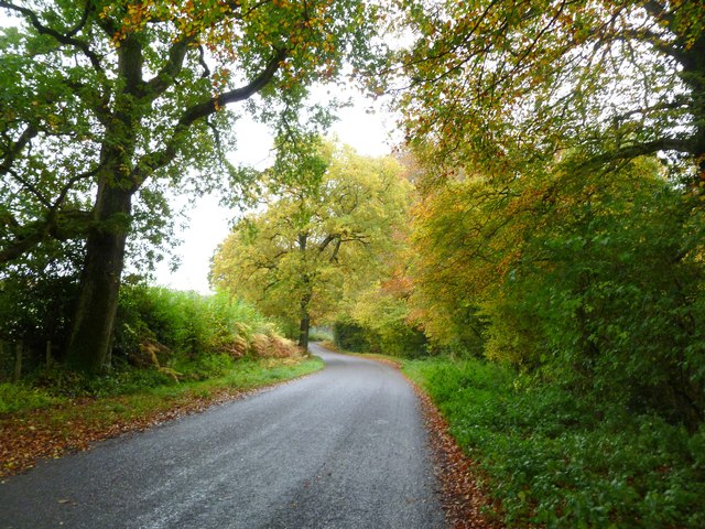
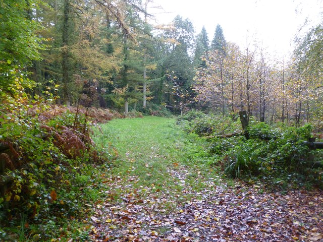
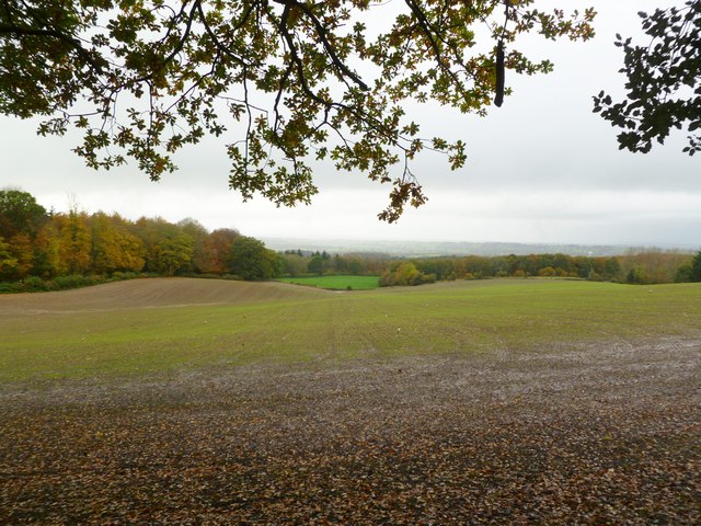
The woodland is primarily composed of broadleaf trees, including oak, beech, and ash, which create a dense canopy that provides shade and shelter for a diverse range of flora and fauna. The forest floor is carpeted with bluebells, wild garlic, and ferns, adding to the enchanting atmosphere of the area.

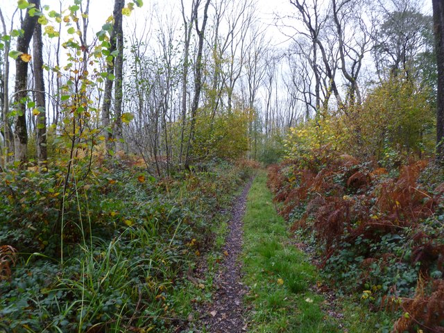
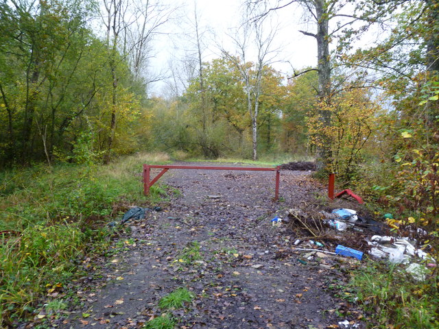
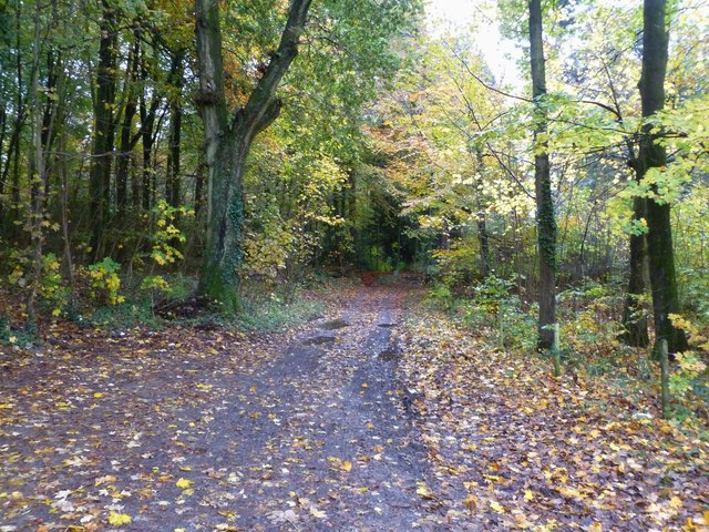
Gully Coppice is intersected by numerous footpaths, allowing visitors to explore the wood and discover its hidden gems. The paths wind through the trees, offering glimpses of babbling brooks and small ponds that are home to various species of amphibians and waterfowl.

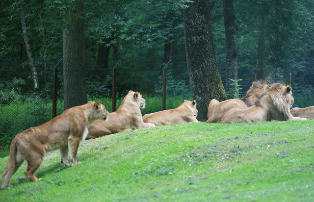
The wood is also rich in wildlife, with sightings of deer, foxes, and badgers being common. Birdwatchers will be delighted by the variety of bird species that inhabit the area, including woodpeckers, owls, and various songbirds.

The management of Gully Coppice is focused on preserving its natural beauty and biodiversity. Sustainable forestry practices ensure the continued health of the woodland, while maintaining a balance between conservation and recreational use.

Overall, Gully Coppice is a true haven for nature lovers, offering a serene and captivating woodland experience in the heart of Wiltshire.

If you have any feedback on the listing, please let us know in the comments section below.

Gully Coppice Images

Images are sourced within 2km of 51.181883/-2.2902061 or Grid Reference ST7942. Thanks to Geograph Open Source API. All images are credited.

Road to the Longleat Safari park
The road to Longleat
Half Mile Pond on the Longleat estate
Gare Hill, Honey Pot Lane Restricted byway from Gare Hill to County Bridge, with young ash trees to the left. The lane also forms the boundary between Somerset, left, and Wiltshire, right.
Gare Hill, Honey Pot Lane
Restricted byway from Gare Hill to County Bridge, with young ash trees to the left. The lane also forms the boundary between Somerset, left, and Wiltshire, right.
Gare Hill, woodland Bare young ash, with autumn-coloured hazel in the under-storey.
Gare Hill, woodland
Bare young ash, with autumn-coloured hazel in the under-storey.
Maiden Bradley, gate At the northern end of Honey Pot Lane. The lane forms the boundary between Wiltshire, left, and Somerset, right. Note the fly-tipping.
Maiden Bradley, gate
At the northern end of Honey Pot Lane. The lane forms the boundary between Wiltshire, left, and Somerset, right. Note the fly-tipping.
Maiden Bradley, County Bridge Across a stream on Frome Road (B3092); on the far side, Somerset, on this, Wiltshire. The boundary is marked mid-bridge by an iron post.
Maiden Bradley, County Bridge
Across a stream on Frome Road (B3092); on the far side, Somerset, on this, Wiltshire. The boundary is marked mid-bridge by an iron post.
Maiden Bradley, Forest Road From Horningsham to County Bridge (B3092); Little Bradley Wood to the left, Gully Copse, right.
Maiden Bradley, Forest Road
From Horningsham to County Bridge (B3092); Little Bradley Wood to the left, Gully Copse, right.
Horningsham, autumn colours Provided by beech trees on Forest Road.
Horningsham, autumn colours
Provided by beech trees on Forest Road.
Horningsham, permissive footpath Through Little Bradley Wood, on the Duke of Somerset's Estate.
Horningsham, permissive footpath
Through Little Bradley Wood, on the Duke of Somerset's Estate.
Horningsham, farm entrance To Woodhead Farm, off Forest Road.
Horningsham, farm entrance
To Woodhead Farm, off Forest Road.
County Boundary Marker MAIDEN BRADLEY FROME ROAD (B3092) ST 74 SE (east side) County Boundary post on road bridge at junction to Horningsham. Grade: II. Date first listed: 09-Sep-1987. County boundary post. C19. Cast iron plate with semi-circular top and WILTSHIRE / SOMERSET in raised lettering, vertically on front. 
- English Heritage <span class="nowrap"><a title="http://list.english-heritage.org.uk/resultsingle.aspx?uid=1318444" rel="nofollow ugc noopener" href="http://list.english-heritage.org.uk/resultsingle.aspx?uid=1318444">Link</a><img style="margin-left:2px;" alt="External link" title="External link - shift click to open in new window" src="https://s1.geograph.org.uk/img/external.png" width="10" height="10"/></span>

( For full article visit my Maiden Bradley Listed Buildings (etc) site - <span class="nowrap"><a title="https://sites.google.com/site/maidenbradleylistedbuildings/listed/frome-road" rel="nofollow ugc noopener" href="https://sites.google.com/site/maidenbradleylistedbuildings/listed/frome-road">Link</a><img style="margin-left:2px;" alt="External link" title="External link - shift click to open in new window" src="https://s1.geograph.org.uk/img/external.png" width="10" height="10"/></span> )
County Boundary Marker
MAIDEN BRADLEY FROME ROAD (B3092) ST 74 SE (east side) County Boundary post on road bridge at junction to Horningsham. Grade: II. Date first listed: 09-Sep-1987. County boundary post. C19. Cast iron plate with semi-circular top and WILTSHIRE / SOMERSET in raised lettering, vertically on front. - English Heritage LinkExternal link ( For full article visit my Maiden Bradley Listed Buildings (etc) site - LinkExternal link )
Gardens between Orangery and Longleat House
Longleat House and gardens The view of the house from the Orangery , now a tea and coffee shop.
Longleat House and gardens
The view of the house from the Orangery , now a tea and coffee shop.
Waiting for Lunch The Lions have been at Longleat now since the 60s and this is what the majority of people come to see.At least they were not all asleep today.
Waiting for Lunch
The Lions have been at Longleat now since the 60s and this is what the majority of people come to see.At least they were not all asleep today.
Longleat House Looking down the drive at Longleat with fresh cut hay along the drive.
Longleat House
Looking down the drive at Longleat with fresh cut hay along the drive.
Horningsham, forestry track Into Little Bradley Wood.
Horningsham, forestry track
Into Little Bradley Wood.
Horningsham, arable land A young crop off Forest Road.  The field is full of countless pheasants, some of which can be seen as light spots.
Horningsham, arable land
A young crop off Forest Road. The field is full of countless pheasants, some of which can be seen as light spots.
Show me another place!

Gully Coppice is located at Grid Ref: ST7942 (Lat: 51.181883, Lng: -2.2902061)

Unitary Authority: Wiltshire

Police Authority: Wiltshire

What 3 Words

///promote.pink.reflected. Near Corsley, Wiltshire

Related Wikis

Longleat Woods

Longleat Woods (grid reference ST795435) is a 249.9 hectare (617.4 acre) biological Site of Special Scientific Interest south of Frome in Somerset, notified...
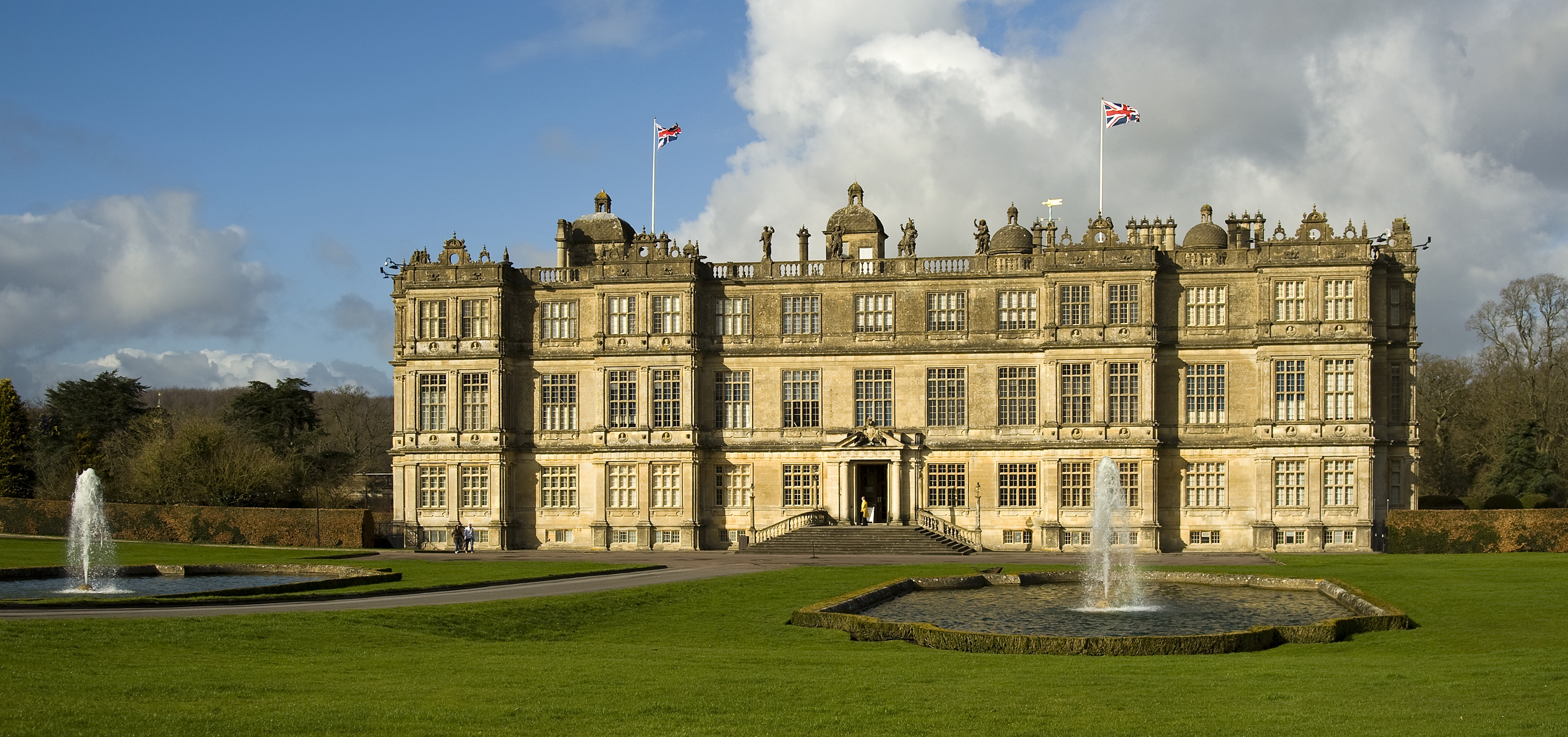
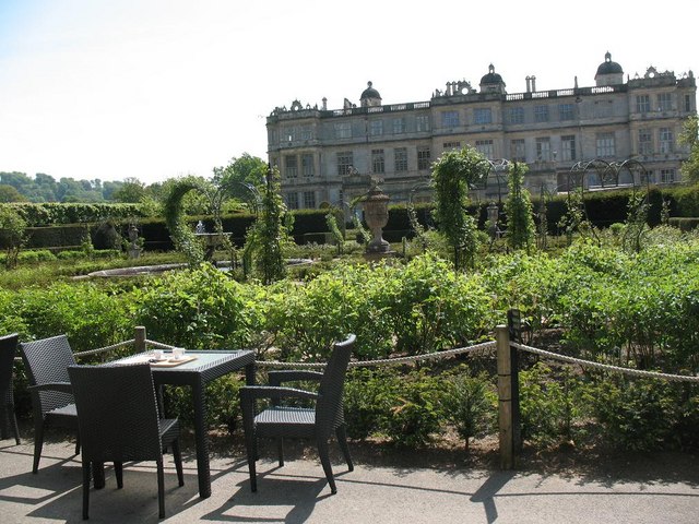
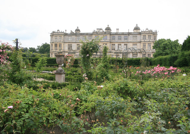
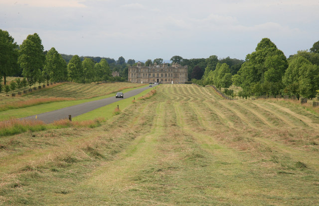
Longleat

Longleat is a stately home about 4 miles (7 km) west of Warminster in Wiltshire, England. A leading and early example of the Elizabethan prodigy house...

Longleat Priory

Longleat Priory was a priory near Warminster, Wiltshire, in the south of England. A short-lived priory was established and dissolved near to Longleat in...

Roddenbury Hillfort

Roddenbury Hillfort is a univallate Iron Age hillfort in the parish of Selwood, Somerset, England. It is a Scheduled Monument and it was on the Heritage...

Horningsham

Horningsham is a small village and civil parish in Wiltshire, England, on the county border with Somerset. The village lies about 4 miles (6 km) southwest...

Hales Castle

Hales Castle was a medieval castle that once stood overlooking the town of Frome in the Mendip district of Somerset, England. It has been scheduled as...

Bradley Woods

Bradley Woods (grid reference ST789410) is an area of woodland in Wiltshire, south of Longleat Woods and north of Gare Hill. A 48.7 hectare area within...

Church of St Katherine, East Woodlands

The Anglican Church of St Katherine in East Woodlands, Selwood, Somerset, England was built around 1712. It is a Grade II* listed building. == History... ==

Nearby Amenities

Located within 500m of 51.181883,-2.2902061
The data included in this document is from www.openstreetmap.org. The data is made available under ODbL.

Have you been to Gully Coppice?

Leave your review of Gully Coppice below (or comments, questions and feedback).