Bennetts Wood
Wood, Forest in Staffordshire South Staffordshire
England
Bennetts Wood
Bennetts Wood is a picturesque forest located in the county of Staffordshire, England. Spanning over a vast area, this woodland is a nature lover's paradise, offering a serene and tranquil environment. It is situated near the small village of Bennetts End, adding to its charm and accessibility.
The wood itself is predominantly made up of towering oak trees, creating a dense canopy that provides shade and shelter for a diverse range of flora and fauna. Walking through the forest, visitors can find an array of wildflowers, ferns, and mosses, adding pops of color to the lush green surroundings. The forest floor is covered in a thick layer of fallen leaves and pine needles, creating a natural carpet underfoot.
Bennetts Wood is home to a variety of wildlife, including deer, rabbits, squirrels, and various species of birds. Birdwatchers will be delighted by the opportunity to spot woodpeckers, owls, and songbirds amidst the treetops. The forest also boasts a small pond, attracting ducks and other water-dwelling creatures.
For outdoor enthusiasts, Bennetts Wood offers numerous walking trails and paths, allowing visitors to explore the beauty of the forest at their own pace. These trails are well-maintained and clearly marked, ensuring a safe and enjoyable experience for all. Additionally, the wood is equipped with picnic areas, making it an ideal spot for a family day out or a peaceful picnic amidst nature.
Overall, Bennetts Wood in Staffordshire is a captivating woodland that showcases the natural beauty of the region. Its idyllic setting, abundant wildlife, and well-maintained trails make it a must-visit destination for nature enthusiasts and those seeking tranquility amidst the English countryside.
If you have any feedback on the listing, please let us know in the comments section below.
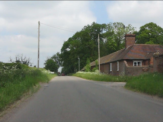
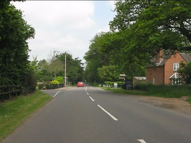
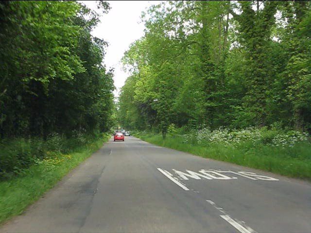
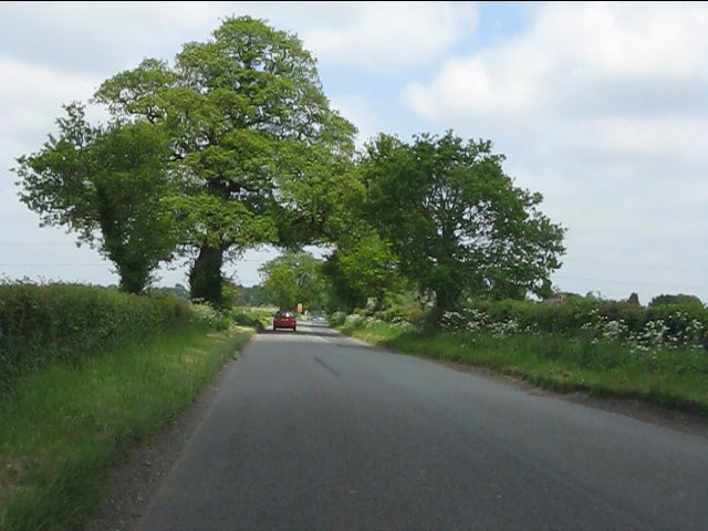
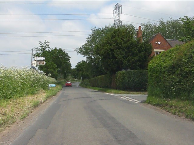
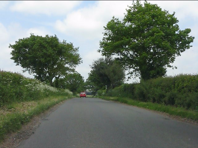
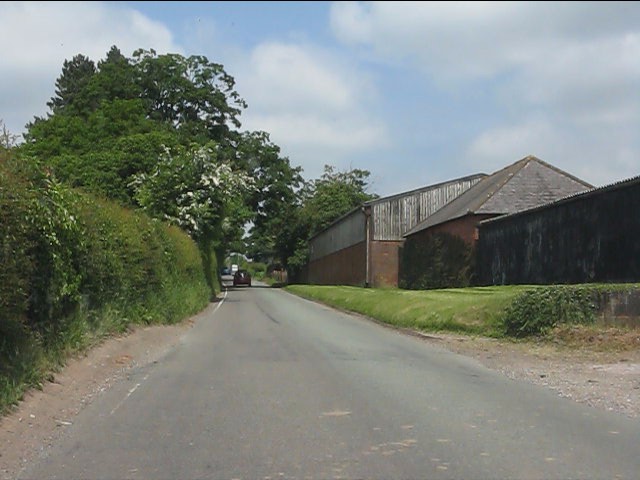
Bennetts Wood Images
Images are sourced within 2km of 52.605668/-2.3089844 or Grid Reference SJ7900. Thanks to Geograph Open Source API. All images are credited.
Bennetts Wood is located at Grid Ref: SJ7900 (Lat: 52.605668, Lng: -2.3089844)
Administrative County: Staffordshire
District: South Staffordshire
Police Authority: Staffordshire
What 3 Words
///called.recliner.pint. Near Ryton, Shropshire
Nearby Locations
Related Wikis

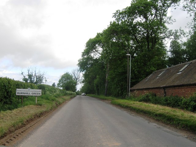
Burnhill Green
Burnhill Green is a small hamlet near Pattingham, situated in Staffordshire, England, in the former parish of Patshull. The hamlet is on the edge of the...

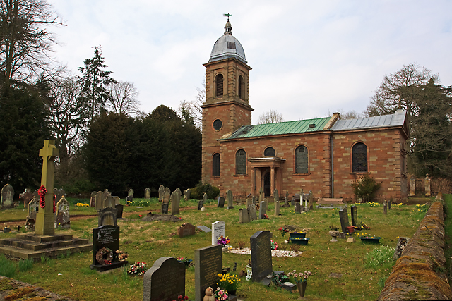
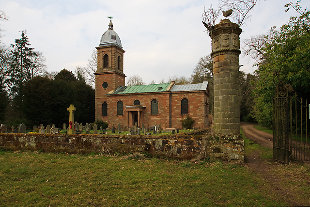
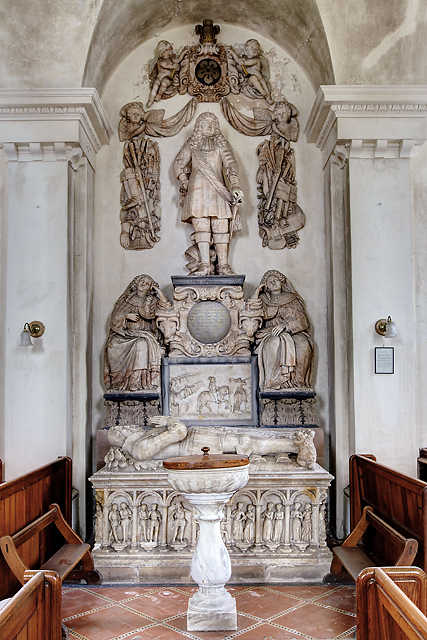
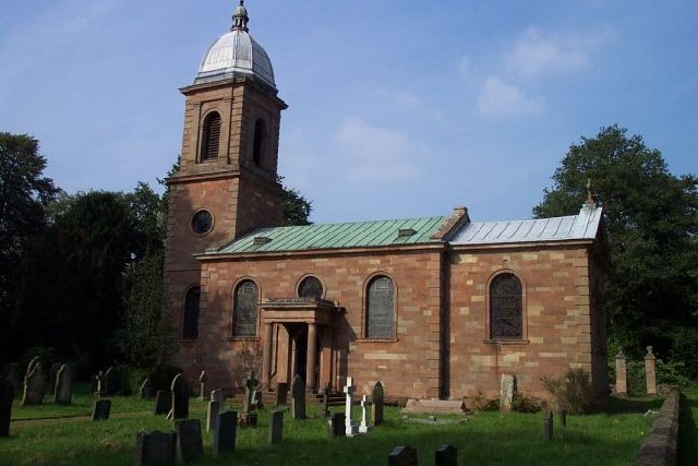
St Mary's Church, Patshull
St Mary's Church, Patshull, is a redundant Anglican church in the parish of Pattingham and Patshull, Staffordshire, England, and is situated near Patshull...
Patshull
Patshull is a former civil parish, now in the parish of Pattingham and Patshull, in the South Staffordshire district, in the county of Staffordshire, England...

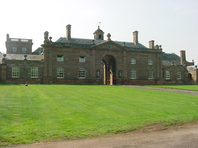
Patshull Hall
Patshull Hall is a substantial Georgian mansion house situated near Pattingham in Staffordshire, England. It is a Grade I listed building and by repute...

Caynton Caves
The Caynton Caves are a series of man-made underground chambers in the grounds of Caynton Hall, near Beckbury, Shropshire, England. Their original purpose...

Boningale
Boningale is a village and civil parish in Shropshire, England. The village lies just south of Albrighton, and just west of the county border with Staffordshire...
Badger, Shropshire
Badger is a village and civil parish in Shropshire, England, about six miles north-east of Bridgnorth. The parish had a population of 134 according to...

Beckbury
Beckbury is a village and civil parish in Shropshire, England. Beckbury had a population of 327 according to the 2001 census, increasing to 340 at the...
Nearby Amenities
Located within 500m of 52.605668,-2.3089844Have you been to Bennetts Wood?
Leave your review of Bennetts Wood below (or comments, questions and feedback).