Beans Coppice
Wood, Forest in Staffordshire Wyre Forest
England
Beans Coppice
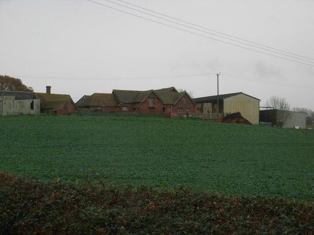
Beans Coppice is a picturesque woodland located in the county of Staffordshire, England. Covering an area of approximately 50 acres, this enchanting forest is known for its natural beauty and diverse range of flora and fauna.
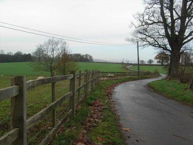
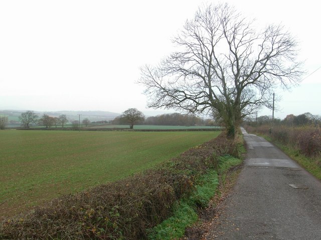
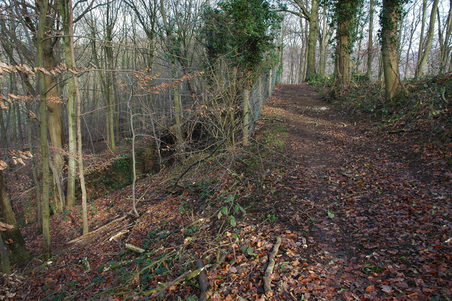
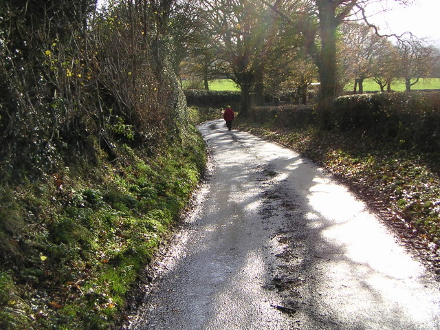
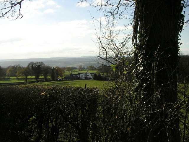
The coppice is characterized by its dense canopy of trees, predominantly consisting of oak, birch, and beech. These ancient trees provide a tranquil and serene atmosphere, making it a popular destination for nature lovers and hikers alike. The forest floor is adorned with a rich carpet of wildflowers, adding bursts of color to the landscape.
The woodland is home to a variety of wildlife, including deer, badgers, foxes, and numerous bird species. It serves as an important habitat for these creatures, offering a safe haven and ample food sources. Birdwatchers can spot species such as woodpeckers, owls, and warblers amongst the treetops.
Visitors can explore the woodland via a network of well-maintained walking trails, which meander through the trees and offer stunning views of the surrounding countryside. These paths cater to both casual strollers and more adventurous hikers, with options for all fitness levels.
Beans Coppice also boasts a small picnic area, complete with benches and tables, providing the perfect spot for a leisurely lunch amidst nature. It is a popular destination for families and groups seeking a peaceful retreat away from the hustle and bustle of urban life.
Overall, Beans Coppice is a hidden gem in Staffordshire, offering a serene and idyllic escape for those seeking solace in nature. Its diverse ecosystem and natural beauty make it a must-visit destination for anyone exploring the region.
If you have any feedback on the listing, please let us know in the comments section below.
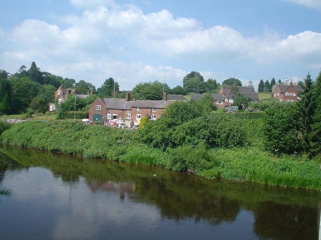
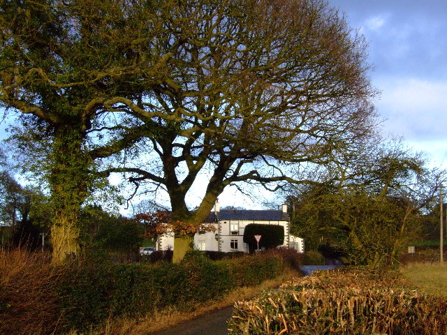
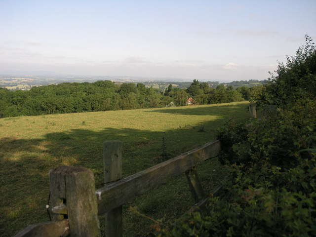
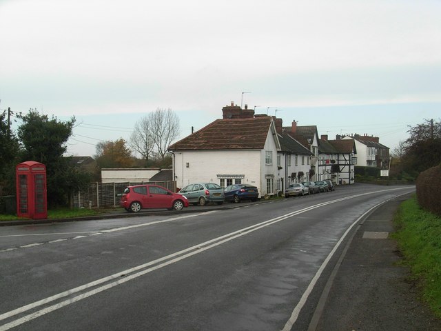
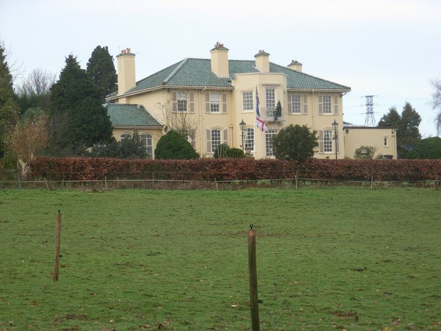
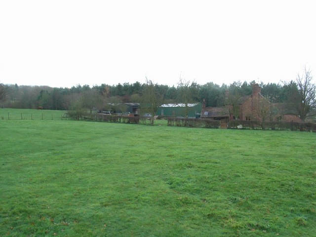
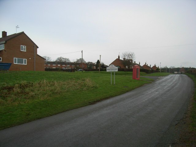
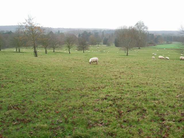
Beans Coppice Images
Images are sourced within 2km of 52.430956/-2.3233357 or Grid Reference SO7881. Thanks to Geograph Open Source API. All images are credited.


Beans Coppice is located at Grid Ref: SO7881 (Lat: 52.430956, Lng: -2.3233357)
Administrative County: Worcestershire
District: Wyre Forest
Police Authority: West Mercia
What 3 Words
///diplomat.mass.ambushes. Near Romsley, Shropshire
Nearby Locations
Related Wikis

Shatterford
Shatterford is a village in the Wyre Forest District of Worcestershire, England, located north-west of Bewdley and lies less than a mile from the county...

Romsley, Shropshire
Romsley (grid reference SO783826) is a hamlet and civil parish in southeast Shropshire, England. It is bounded on the north and west by Alveley and on...

Arley House and Gardens
Arley House and Gardens are situated at Upper Arley, about 4 miles (6.4 km) north-west of Bewdley, in Worcestershire, England. The gardens, arboretum and...
Upper Arley
Upper Arley (grid reference SO765805) is a village and civil parish near Kidderminster in the Wyre Forest District of Worcestershire, England. Historically...

Shatterford Hill
Shatterford Hill is an English geographical feature that extends from Bewdley in north Worcestershire to Birdsgreen near Alveley, just over the border...

Arley railway station
Arley railway station is a station on the Severn Valley Railway heritage line in Worcestershire, situated just over the River Severn from the village of...

Victoria Bridge, Worcestershire
The Victoria Bridge crosses the River Severn between Arley and Bewdley in Worcestershire, England. At the time of its construction, the 200-foot railway...

Castle Hill, Wolverley
Castle Hill or Baron Hill is about a mile from the hamlet of Kingsford in the civil parish of Wolverley and Cookley, Worcestershire. In 1912 the site consisted...
Nearby Amenities
Located within 500m of 52.430956,-2.3233357Have you been to Beans Coppice?
Leave your review of Beans Coppice below (or comments, questions and feedback).