Isle of Man Plantation
Wood, Forest in Northumberland
England
Isle of Man Plantation
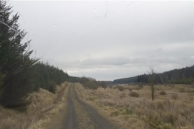
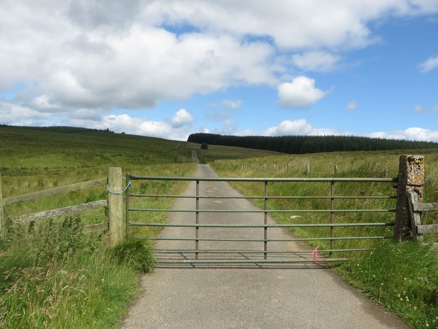
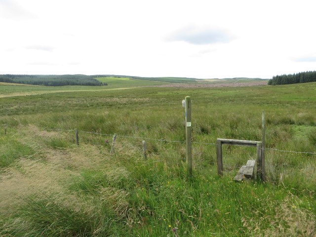
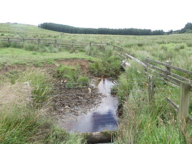
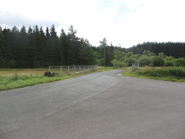
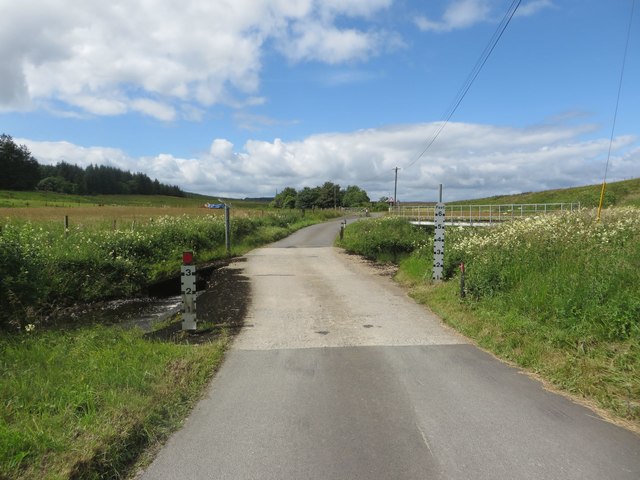
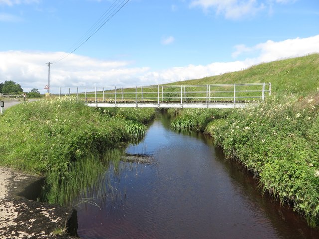
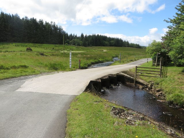
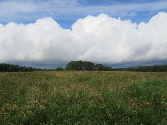
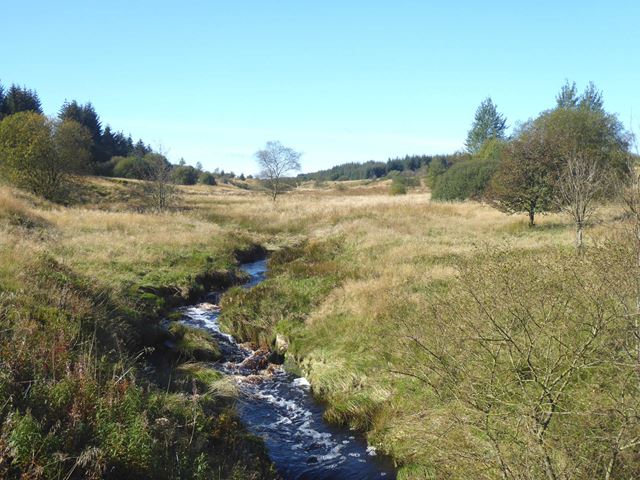
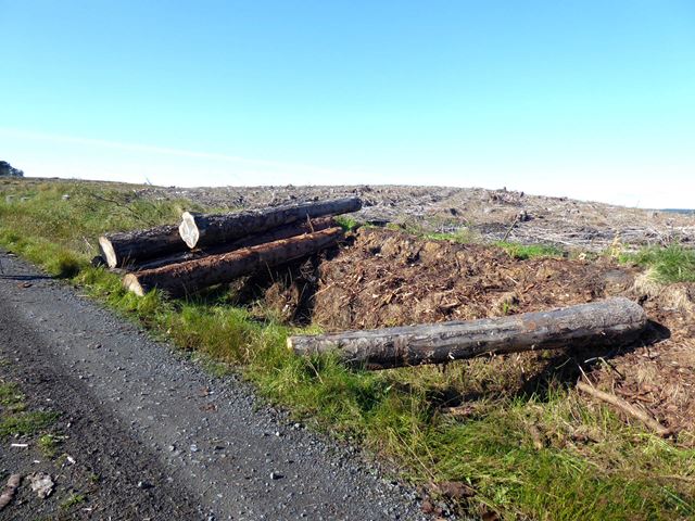
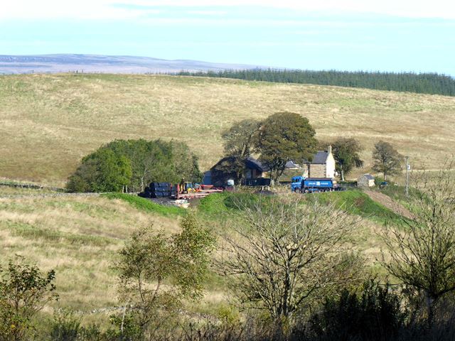
The Isle of Man Plantation is a picturesque woodland located in Northumberland, England. Spanning over a vast area, this woodland is characterized by its dense forest cover and stunning natural beauty. The plantation is situated within the larger Kielder Forest, which is known as the largest man-made forest in England.
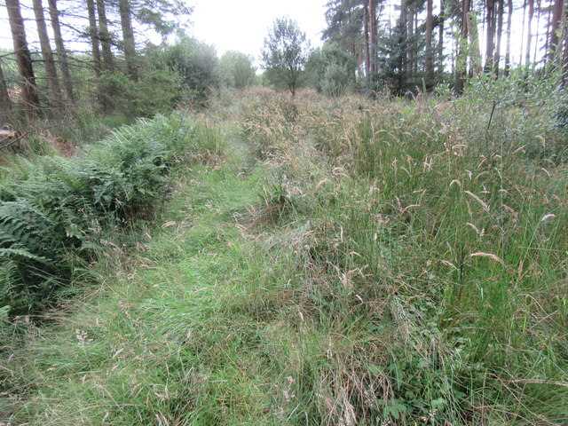
The Isle of Man Plantation offers a diverse range of tree species, including conifers and broadleaved trees, creating a rich and varied ecosystem. It is home to a wide array of wildlife, including red squirrels, roe deer, and a multitude of bird species. The woodland is a popular spot for nature enthusiasts and birdwatchers due to its abundant wildlife and tranquil surroundings.
Visitors to the Isle of Man Plantation can enjoy a variety of activities. There are well-maintained walking trails that lead through the woodland, providing opportunities for leisurely strolls and hikes. These trails offer stunning views of the surrounding landscape, with the plantation's vibrant foliage adding to the visual appeal.
Additionally, the plantation offers designated picnic areas and camping spots, allowing visitors to immerse themselves fully in nature. The woodland also has a visitor center that provides information about the local flora and fauna, as well as the history and management of the plantation.
Overall, the Isle of Man Plantation is a haven for nature lovers, offering a peaceful retreat in the heart of Northumberland's countryside. Its stunning woodland, diverse wildlife, and range of recreational activities make it an ideal destination for those seeking solace in nature.
If you have any feedback on the listing, please let us know in the comments section below.
Isle of Man Plantation Images
Images are sourced within 2km of 55.076033/-2.3443437 or Grid Reference NY7875. Thanks to Geograph Open Source API. All images are credited.


Isle of Man Plantation is located at Grid Ref: NY7875 (Lat: 55.076033, Lng: -2.3443437)
Unitary Authority: Northumberland
Police Authority: Northumbria
What 3 Words
///classic.roosters.ombudsman. Near Bellingham, Northumberland
Nearby Locations
Related Wikis
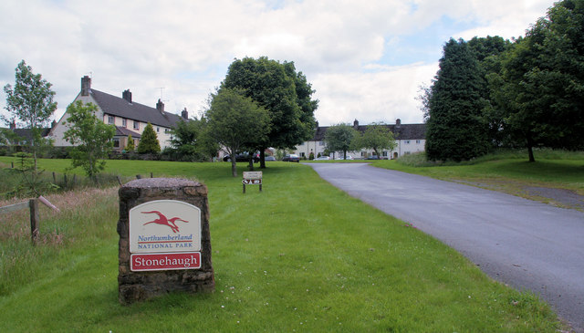
Stonehaugh
Stonehaugh is a small settlement in Northumberland about 5 miles (8 km) west of Wark on Tyne and 4 Roman miles (6 km) north of Hadrian's Wall. It was purpose...

The Goatstones
The Goatstones is a Bronze-Age four-poster stone circle located near Ravensheugh Crags in Northumberland, England. It is 2.5 miles (4.0 km) to the north...

Halleypike Lough
Halleypike Lough is an inland lake on Haughton Common at the southern edge of Northumberland National Park, northeast of Bardon Mill, and 1 mile (1.6 km...

Wark Forest
Wark Forest is the southern part of Kielder Forest in Northumberland, England. Wark Forest is found within the south-west tip of Northumberland National...

Milecastle 35
Milecastle 35 (Sewingshields) is one of the milecastles on Hadrian's Wall (grid reference NY80497018). The remains still exist as exposed masonry. ��2...

Broomlee Lough
Broomlee Lough is an inland lake in Northumberland, England at the southern edge of Northumberland National Park. The lough lies immediately north of the...
Milecastle 34
Milecastle 34 (Grindon) was a milecastle of the Roman Hadrian's Wall. There are no visible remains, but the site is within a small, tree-filled, walled...

Milecastle 36
Milecastle 36 (King's Hill) was one of the milecastles on Hadrian's Wall (grid reference NY79726931). There is little to see on the ground as most of the...
Nearby Amenities
Located within 500m of 55.076033,-2.3443437Have you been to Isle of Man Plantation?
Leave your review of Isle of Man Plantation below (or comments, questions and feedback).