Hillfields Coppice
Wood, Forest in Staffordshire Wyre Forest
England
Hillfields Coppice
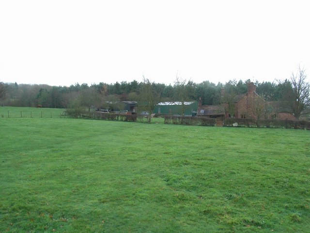
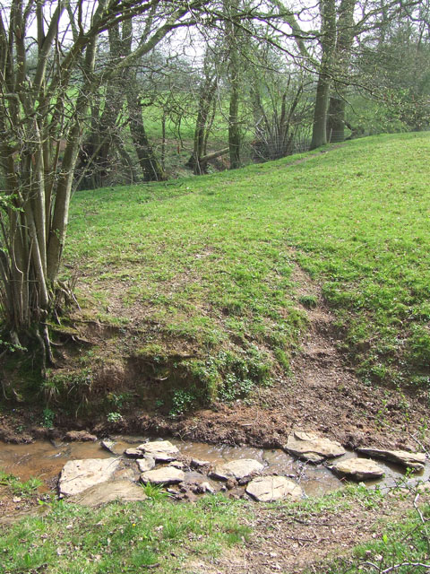
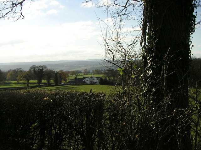
Hillfields Coppice is a charming woodland located in the county of Staffordshire, England. With its serene atmosphere and abundant natural beauty, it offers a tranquil escape for nature enthusiasts and outdoor lovers alike. The coppice is situated near the town of Rugeley, occupying an area of approximately 50 hectares.
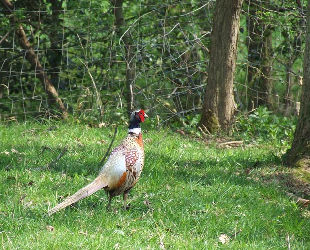
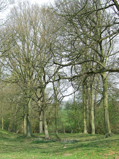
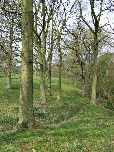
The woodland is predominantly composed of a mixture of broadleaf trees, including oak, birch, and beech, which creates a diverse and vibrant ecosystem. The dense canopy of these trees provides ample shade and shelter for a wide variety of flora and fauna. In the spring and summer months, the forest floor becomes adorned with a colorful display of wildflowers, adding to the scenic appeal of the area.
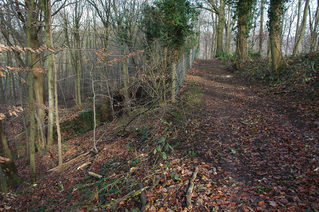
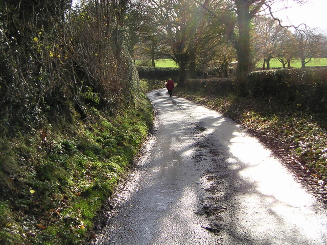
Hillfields Coppice is renowned for its network of well-maintained footpaths and trails, making it a popular destination for walkers, hikers, and cyclists. These paths wind through the woods, offering visitors the opportunity to explore the natural wonders of the area while enjoying the fresh air and peaceful surroundings.
Moreover, the coppice is also home to a diverse array of wildlife, including deer, foxes, badgers, and numerous species of birds. Birdwatchers will delight in the chance to spot species such as woodpeckers, owls, and various songbirds, which inhabit the woodland.
Hillfields Coppice is not only a haven for nature enthusiasts but also serves as an educational resource. Local schools often organize field trips to the woodland, where students can learn about the importance of conservation and biodiversity.
Overall, Hillfields Coppice in Staffordshire is a remarkable woodland that offers a slice of tranquility and natural beauty for all to enjoy.
If you have any feedback on the listing, please let us know in the comments section below.
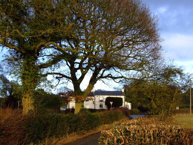
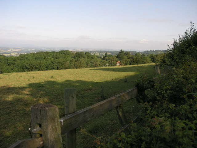
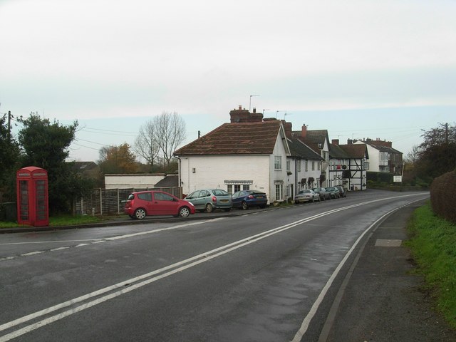
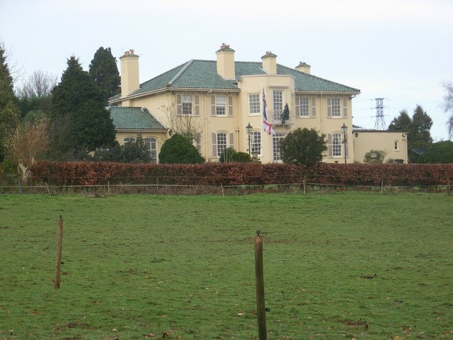
Hillfields Coppice Images
Images are sourced within 2km of 52.434298/-2.3173001 or Grid Reference SO7881. Thanks to Geograph Open Source API. All images are credited.


Hillfields Coppice is located at Grid Ref: SO7881 (Lat: 52.434298, Lng: -2.3173001)
Administrative County: Worcestershire
District: Wyre Forest
Police Authority: West Mercia
What 3 Words
///pats.freezers.dolly. Near Romsley, Shropshire
Nearby Locations
Related Wikis

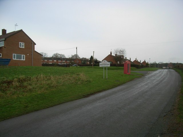
Shatterford
Shatterford is a village in the Wyre Forest District of Worcestershire, England, located north-west of Bewdley and lies less than a mile from the county...

Romsley, Shropshire
Romsley (grid reference SO783826) is a hamlet and civil parish in southeast Shropshire, England. It is bounded on the north and west by Alveley and on...

Arley House and Gardens
Arley House and Gardens are situated at Upper Arley, about 4 miles (6.4 km) north-west of Bewdley, in Worcestershire, England. The gardens, arboretum and...
Upper Arley
Upper Arley (grid reference SO765805) is a village and civil parish near Kidderminster in the Wyre Forest District of Worcestershire, England. Historically...

Shatterford Hill
Shatterford Hill is an English geographical feature that extends from Bewdley in north Worcestershire to Birdsgreen near Alveley, just over the border...

Arley railway station
Arley railway station is a station on the Severn Valley Railway heritage line in Worcestershire, situated just over the River Severn from the village of...

Castle Hill, Wolverley
Castle Hill or Baron Hill is about a mile from the hamlet of Kingsford in the civil parish of Wolverley and Cookley, Worcestershire. In 1912 the site consisted...

Victoria Bridge, Worcestershire
The Victoria Bridge crosses the River Severn between Arley and Bewdley in Worcestershire, England. At the time of its construction, the 200-foot railway...
Nearby Amenities
Located within 500m of 52.434298,-2.3173001Have you been to Hillfields Coppice?
Leave your review of Hillfields Coppice below (or comments, questions and feedback).