Asheybank Wood

Wood, Forest in Northumberland

England

Asheybank Wood

The Old School House The Old School House at Keenley is at a crossroads and seen here along the road to the west-south-west; it dates from 1875 and is a listed building. The road is also part of the route of Isaac's Tea Trail.
The Old School House Credit: Trevor Littlewood

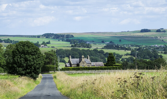
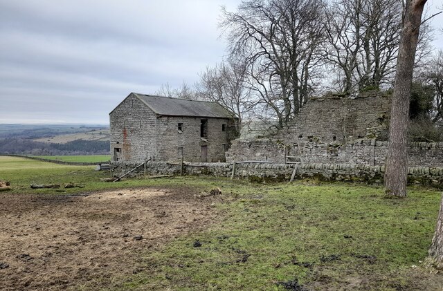
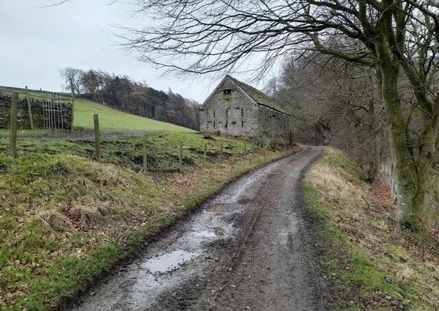
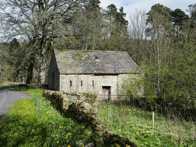
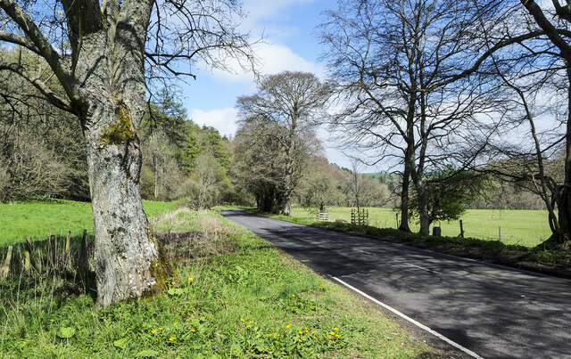
Asheybank Wood is a picturesque woodland located in the county of Northumberland, England. Covering an area of approximately 200 acres, this enchanting forest is a haven for nature enthusiasts and outdoor lovers alike.

Nestled within the heart of the Northumberland countryside, Asheybank Wood showcases an impressive variety of trees, including native species such as oak, beech, and birch. The dense canopy created by these towering giants provides a cool and refreshing ambiance, making it an ideal destination for a peaceful stroll or a family picnic.

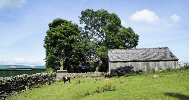
The woodland is home to an array of wildlife, with an abundance of bird species, including woodpeckers, owls, and a variety of songbirds. Lucky visitors may also catch a glimpse of elusive mammals such as badgers, foxes, and deer.

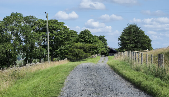
Several well-maintained trails wind through Asheybank Wood, offering visitors the opportunity to explore its natural beauty at their own pace. These paths are suitable for both walkers and cyclists, allowing for a diverse range of outdoor activities.

The wood is well-preserved and managed by local conservation groups, ensuring that its natural ecosystem remains undisturbed. Visitors are encouraged to respect the environment and follow designated trails to minimize any impact on the delicate flora and fauna.

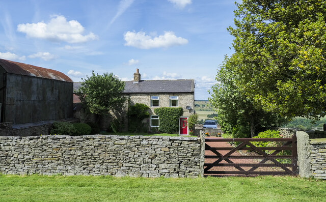
Located near the charming village of Rothbury, Asheybank Wood provides a tranquil escape from the hustle and bustle of everyday life. Whether you are seeking a peaceful retreat or a chance to immerse yourself in nature, this woodland gem is sure to leave you with a sense of tranquility and awe.

If you have any feedback on the listing, please let us know in the comments section below.

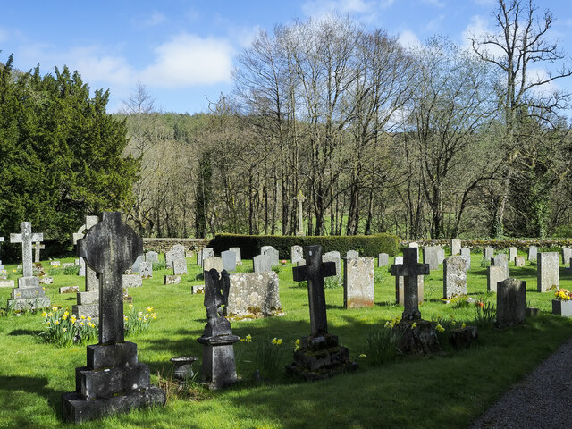
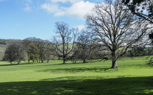
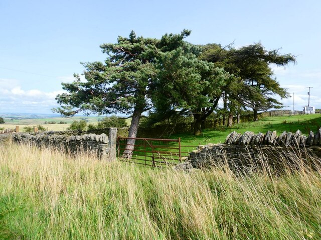
Asheybank Wood Images

Images are sourced within 2km of 54.912694/-2.3365515 or Grid Reference NY7857. Thanks to Geograph Open Source API. All images are credited.

The Old School House The Old School House at Keenley is at a crossroads and seen here along the road to the west-south-west; it dates from 1875 and is a listed building. The road is also part of the route of Isaac's Tea Trail.
The Old School House
The Old School House at Keenley is at a crossroads and seen here along the road to the west-south-west; it dates from 1875 and is a listed building. The road is also part of the route of Isaac's Tea Trail.
Public footpath descending at field edge Maps show the path route to descend between walls though the one to the right is clearly ruined and has perhaps been robbed of much of its stone.
The valley towards which the path is descending is West Allendale.
Public footpath descending at field edge
Maps show the path route to descend between walls though the one to the right is clearly ruined and has perhaps been robbed of much of its stone. The valley towards which the path is descending is West Allendale.
Farm access road for Harlow Bower The road access for the farm is some distance from the nearest public road which lies in the direction of the view, probably a half kilometre from Harlow Bower which is behind the camera position. The road is also a public footpath.
Farm access road for Harlow Bower
The road access for the farm is some distance from the nearest public road which lies in the direction of the view, probably a half kilometre from Harlow Bower which is behind the camera position. The road is also a public footpath.
Farm access road approaching Keenley Keenley is a small, dispersed community between the East and West Allendales. The road acts as the access route for the farm at Harlow Bower which lies behind the camera position; it's also a public footpath.
Farm access road approaching Keenley
Keenley is a small, dispersed community between the East and West Allendales. The road acts as the access route for the farm at Harlow Bower which lies behind the camera position; it's also a public footpath.
Slope with field surrounded by trees The slope is descending from the route of the 'Isaac Tea Trail', north-east of the farm at Monk.
The slope descends to the valley bottom of West Allendale where the church at Whitfield is prominent.
Slope with field surrounded by trees
The slope is descending from the route of the 'Isaac Tea Trail', north-east of the farm at Monk. The slope descends to the valley bottom of West Allendale where the church at Whitfield is prominent.
Farmhouse at Harlow Bower Harlow Bower is a farm above the eastern side of West Allendale. A public footpath uses its access road and is now part of the named route, Isaac's Tea Trail.
Farmhouse at Harlow Bower
Harlow Bower is a farm above the eastern side of West Allendale. A public footpath uses its access road and is now part of the named route, Isaac's Tea Trail.
Ponies at Harlow Bower Harlow Bower is a farm along the route of the Isaac Tea Trail above West Allendale. The ponies (Shetlands?), are in a field with access to the barn, south of the main farm buildings.
Ponies at Harlow Bower
Harlow Bower is a farm along the route of the Isaac Tea Trail above West Allendale. The ponies (Shetlands?), are in a field with access to the barn, south of the main farm buildings.
Derelict Outbuildings at Keenleywell House A couple of derelict outbuildings at Keenleywell House.
Derelict Outbuildings at Keenleywell House
A couple of derelict outbuildings at Keenleywell House.
Stile near Harlow Bower Footpath stile near Harlow Bower farm.
Stile near Harlow Bower
Footpath stile near Harlow Bower farm.
Outbuilding at Monk An outbuilding at Monk Farm.
Outbuilding at Monk
An outbuilding at Monk Farm.
Keenley Fell West Farm Keenley Fell West Farm.
Keenley Fell West Farm
Keenley Fell West Farm.
Barn close to Cupola Cottages In the West Allen valley close to the confluence of the Rivers East and West Allen. The cottages are off to the right and Cupola Bridge is a short distance along the road.
Barn close to Cupola Cottages
In the West Allen valley close to the confluence of the Rivers East and West Allen. The cottages are off to the right and Cupola Bridge is a short distance along the road.
A686 below Tarryback Wood The road is heading east, close to the River West Allen, with Tarryback Wood rising on the slope to the left side of the image. The house  named Tarry Back is close by.
A686 below Tarryback Wood
The road is heading east, close to the River West Allen, with Tarryback Wood rising on the slope to the left side of the image. The house named Tarry Back is close by.
Gravestones at Holy Trinity Church, Whitfield Part of the graveyard on the south side of Holy Trinity Church in Whitfield, a small, estate village in West Allendale. The war memorial rises above all other memorials at the centre of the image where there's hedging.
Gravestones at Holy Trinity Church, Whitfield
Part of the graveyard on the south side of Holy Trinity Church in Whitfield, a small, estate village in West Allendale. The war memorial rises above all other memorials at the centre of the image where there's hedging.
Scattered trees in parkland These trees are in the valley of the River West Allen just north of Carr's Burn and are on the parkland at Whitfield Hall.
Curiously many of the trees, perhaps all of them, have a 'skirt' of stones around the bases of their trunks, surely placed there purposely. It's well seen in the nearest specimen and must be to afford some kind of protection.
Scattered trees in parkland
These trees are in the valley of the River West Allen just north of Carr's Burn and are on the parkland at Whitfield Hall. Curiously many of the trees, perhaps all of them, have a 'skirt' of stones around the bases of their trunks, surely placed there purposely. It's well seen in the nearest specimen and must be to afford some kind of protection.
Windswept trees by Keenleyfell West Farm Scots Pine and Larch.
Windswept trees by Keenleyfell West Farm
Scots Pine and Larch.
Keenleyfell West Farm In a  commanding and exposed hilltop position.
Keenleyfell West Farm
In a commanding and exposed hilltop position.
Keenley Lime Kiln
Keenley Lime Kiln
Show me another place!

Asheybank Wood is located at Grid Ref: NY7857 (Lat: 54.912694, Lng: -2.3365515)

Unitary Authority: Northumberland

Police Authority: Northumbria

What 3 Words

///sensibly.quarrel.inversely. Near Bardon Mill, Northumberland

Related Wikis

Related Videos

Whitfield Drone footage, Continuing From Bike Ride, Northumberland Northern England.

Continuation video from the bike ride to Whitfield Northumberland and sorry for the deleted video & I lost all the comments my ...

Nearby Amenities

Located within 500m of 54.912694,-2.3365515
Tarry Back
Created By: Potlatch 0.10f
Place: locality
Lat/Long: 54.9158043/-2.3392856
Cafe
Whitfield Village Pantry
Source: survey
Website: http://www.whitfieldvillagepantry.co.uk/
Lat/Long: 54.9107723/-2.3430847
Whitfield Village Pantry
Addr City: Whitfield
Addr County: Northumberland
Addr Postcode: NE47 8HA
Fhrs Id: 287528
Note: Convenience store and cafe
Shop: convenience
Source: survey
Website: http://www.whitfieldvillagepantry.co.uk/
Lat/Long: 54.9107981/-2.3431529
Note: 30 mph speed limit sign SW-bound
Lat/Long: 54.9117613/-2.3420665
Bearsbridge
Place: hamlet
Wikidata: Q4876774
Lat/Long: 54.9111696/-2.3423155
The data included in this document is from www.openstreetmap.org. The data is made available under ODbL.

Have you been to Asheybank Wood?

Leave your review of Asheybank Wood below (or comments, questions and feedback).