Good's Green

Settlement in Staffordshire Wyre Forest

England

Good's Green

Red Lion Inn, near Shatterford Freehouse on the Kidderminster Bridgnorth road
Red Lion Inn, near Shatterford Credit: al partington

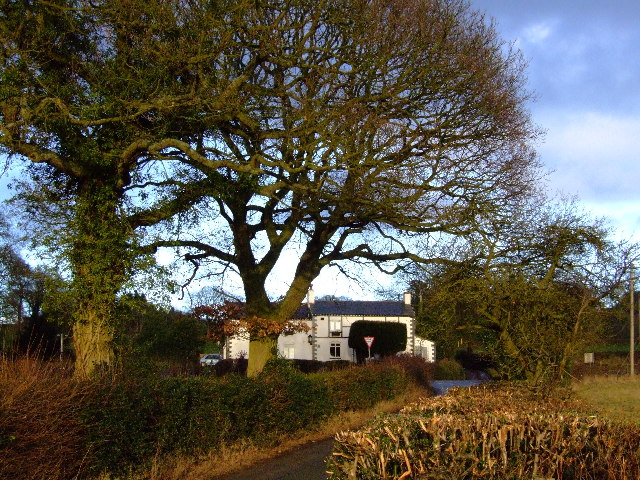
Good's Green is a small village located in Staffordshire, England. Situated approximately 5 miles east of the county town of Stafford, it is nestled in the picturesque countryside of the West Midlands region. The village is characterized by its rural charm, with lush green fields, rolling hills, and quaint cottages that exude a sense of tranquility.

The community of Good's Green is relatively small, with a population of around 500 residents. It is known for its tight-knit and welcoming atmosphere, with friendly locals who take pride in their village. The village has a strong sense of community spirit, with various social events and gatherings organized throughout the year, such as fairs and festivals.

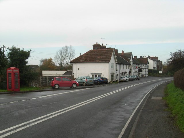
Despite its small size, Good's Green boasts a few amenities to cater to the needs of its residents. There is a local pub, The Green Arms, which serves as a popular meeting spot for villagers and visitors alike. Additionally, there is a village hall that hosts various clubs and activities, including a gardening club and a book club.

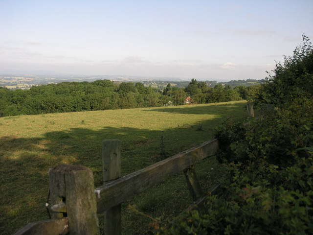
The surrounding countryside offers plenty of opportunities for outdoor activities, with numerous walking and cycling routes. Good's Green is also within close proximity to Cannock Chase, an Area of Outstanding Natural Beauty, which provides further opportunities for exploring nature and wildlife.

Overall, Good's Green is a charming village with a strong sense of community, nestled in the beautiful Staffordshire countryside. It offers a peaceful and idyllic lifestyle for its residents, with easy access to nature and a warm and welcoming atmosphere.

If you have any feedback on the listing, please let us know in the comments section below.
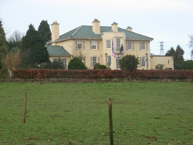
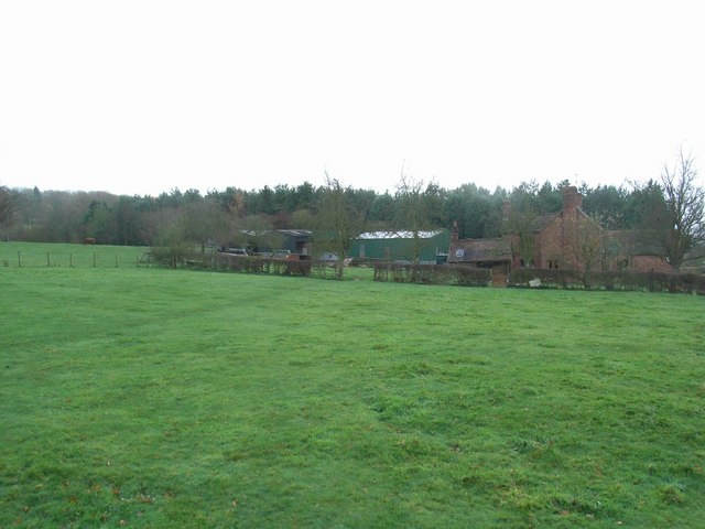
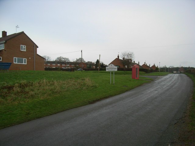
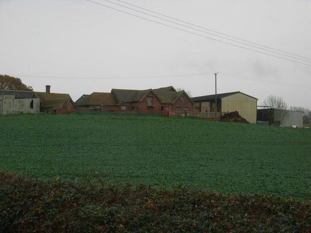
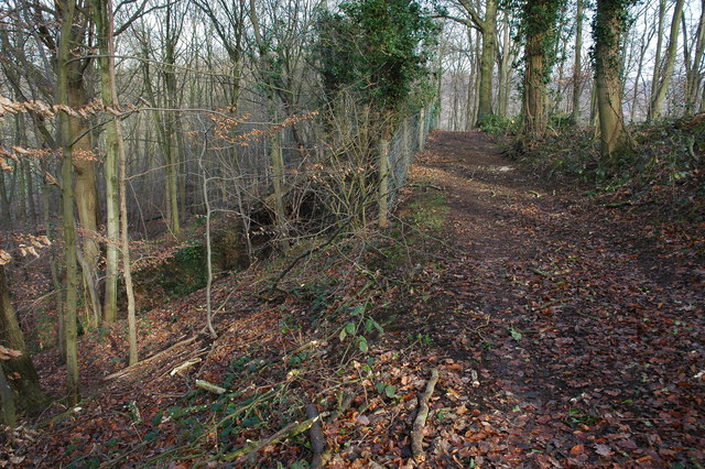
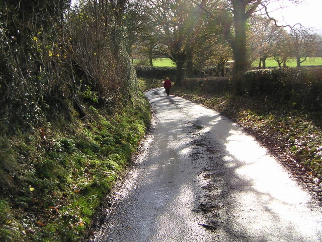
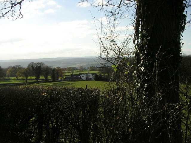
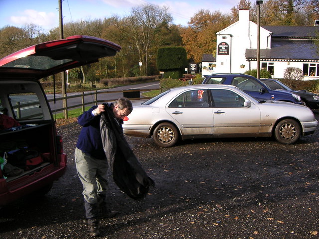
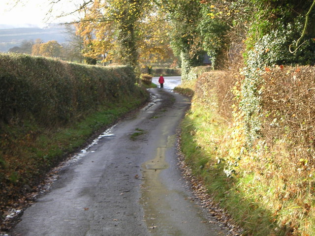
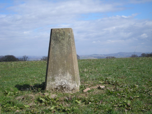
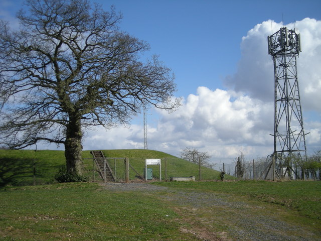
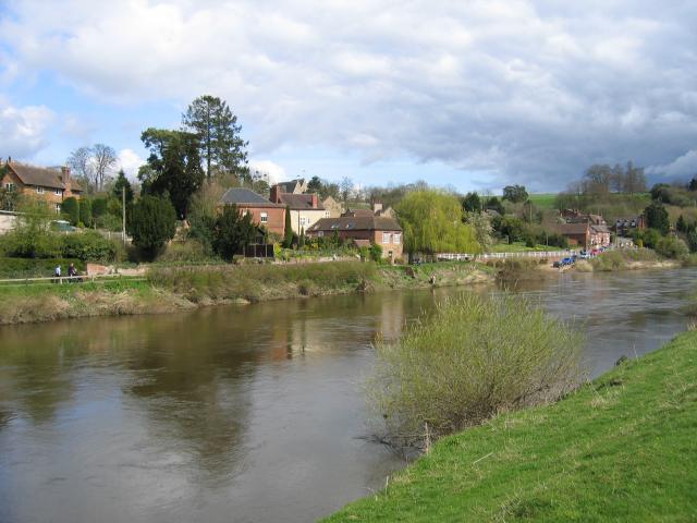
Good's Green Images

Images are sourced within 2km of 52.426717/-2.313955 or Grid Reference SO7881. Thanks to Geograph Open Source API. All images are credited.

Red Lion Inn, near Shatterford Freehouse on the Kidderminster Bridgnorth road
Red Lion Inn, near Shatterford
Freehouse on the Kidderminster Bridgnorth road
500 Squares in One This field near Shatterford enjoys views for many miles to the west.
500 Squares in One
This field near Shatterford enjoys views for many miles to the west.
The Bellman's Cross Inn
Shatterford Grange
Shatterford Grange
Goods Green Farm
Goods Green Farm
Coldridge Wood View to the west through the trees in Coldridge Wood.
Coldridge Wood
View to the west through the trees in Coldridge Wood.
Catkins in Coldridge Wood
Track through Coldridge Wood To the left of the track are a number of old quarries. The fence on the left provides protection from these quarries.
Track through Coldridge Wood
To the left of the track are a number of old quarries. The fence on the left provides protection from these quarries.
Romsley Lane A lane from Romsley to the A442.
Romsley Lane
A lane from Romsley to the A442.
Red Lion View A view to the Red Lion Pub on the A442 form a Romsley lane.
Red Lion View
A view to the Red Lion Pub on the A442 form a Romsley lane.
End of Walk The car park of the Red Lion Pub Romsley on the A442.
End of Walk
The car park of the Red Lion Pub Romsley on the A442.
Hedged lane The lane joins the A442 next to the Red Lion Pub.
Hedged lane
The lane joins the A442 next to the Red Lion Pub.
Triangulation point off Trimpley Lane The hills on the horizon to the right of the triangulation point are, left to right, Hagley Hill & the Clent Hills just to the west of Birmingham.
Triangulation point off Trimpley Lane
The hills on the horizon to the right of the triangulation point are, left to right, Hagley Hill & the Clent Hills just to the west of Birmingham.
Reservoir & phone mast
Arley ATE
Arley ATE
Show me another place!

Good's Green is located at Grid Ref: SO7881 (Lat: 52.426717, Lng: -2.313955)

Administrative County: Worcestershire

District: Wyre Forest

Police Authority: West Mercia

What 3 Words

///blurs.relishing.monks. Near Romsley, Shropshire

Related Wikis

Shatterford

Shatterford is a village in the Wyre Forest District of Worcestershire, England, located north-west of Bewdley and lies less than a mile from the county...

Shatterford Hill

Shatterford Hill is an English geographical feature that extends from Bewdley in north Worcestershire to Birdsgreen near Alveley, just over the border...

Romsley, Shropshire

Romsley (grid reference SO783826) is a hamlet and civil parish in southeast Shropshire, England. It is bounded on the north and west by Alveley and on...

Arley House and Gardens

Arley House and Gardens are situated at Upper Arley, about 4 miles (6.4 km) north-west of Bewdley, in Worcestershire, England. The gardens, arboretum and...

Upper Arley

Upper Arley (grid reference SO765805) is a village and civil parish near Kidderminster in the Wyre Forest District of Worcestershire, England. Historically...

Arley railway station

Arley railway station is a station on the Severn Valley Railway heritage line in Worcestershire, situated just over the River Severn from the village of...

Drakelow, Worcestershire

Drakelow is a hamlet in Worcestershire, England. It is one of the ancient townships of the manor of Wolverley, whose extent was similar to that of the...

Trimpley

Trimpley (grid reference SO793784) is a hamlet in the parish of Kidderminster Foreign. It lies on the ridge of Shatterford Hill, north of Wribbenhall...

Nearby Amenities

Located within 500m of 52.426717,-2.313955
Village Hall
Naptan AtcoCode: 2000G022358
Naptan Bearing: NE
Naptan BusStopType: CUS
Naptan CommonName: Village Hall
Naptan Indicator: opp
Naptan Landmark: Village Hall
Naptan NaptanCode: wocgpdwa
Naptan ShortCommonName: Village Hall
Naptan Street: Arley Lane
Naptan Verified: no
Source: naptan_import
Lat/Long: 52.4290568/-2.3109765
Shatterford- Shatterford Inn (A442)
Naptan AtcoCode: 2000G100200
Naptan Bearing: N
Naptan BusStopType: CUS
Naptan CommonName: Shatterford- Shatterford Inn (A442)
Naptan Indicator: Adj
Naptan Landmark: Public House
Naptan NaptanCode: wocgjwgm
Naptan Street: (A442)
Naptan Verified: no
Source: naptan_import
Lat/Long: 52.4281096/-2.3087784
Shatterford- Shatterford Inn
Naptan AtcoCode: 2000G100201
Naptan Bearing: N
Naptan BusStopType: CUS
Naptan CommonName: Shatterford- Shatterford Inn
Naptan Indicator: Opp
Naptan Landmark: Public House
Naptan NaptanCode: wocgjwgp
Naptan Street: (A442)
Naptan Verified: no
Source: naptan_import
Lat/Long: 52.4281398/-2.3085721
Bus Stop
Council Houses
Bus: yes
Naptan AtcoCode: 2000G500143
Naptan Bearing: W
Naptan CommonName: Council Houses
Naptan Indicator: adj
Naptan Landmark: Goods Green
Naptan NaptanCode: wocdmwtw
Naptan Street: Arley Lane
Public Transport: platform
Route Ref: 297
Shelter: yes
Source: naptan_import;survey
Lat/Long: 52.4259161/-2.315632
Barrier: stile
Source: survey
Lat/Long: 52.4282704/-2.3168026
Barrier: stile
Source: survey
Lat/Long: 52.4302048/-2.3181964
Bus Stop
Bus: yes
Naptan AtcoCode: 2000G500142
Naptan NaptanCode: wocgptpw
Public Transport: platform
Shelter: no
Source: GPS Survey
Lat/Long: 52.4257548/-2.3156868
Barrier: kissing_gate
Source: survey
Lat/Long: 52.4256051/-2.3099654
Post Box
Collection Times: Mo-Fr 09:45; Sa 09:30
Post Box Type: lamp
Ref: DY12 104
Royal Cypher: EIIR
Royal Cypher Wikidata: Q33102113
Source: survey
Lat/Long: 52.4276208/-2.3082115
Telephone
Defibrillator
Booth: K6
Check Date: 2021-09-22
Covered: booth
Defibrillator Location: inside red phone box t junction of Trimpley Lane and A442,Shatterford
Emergency: defibrillator
Man Made: telephone_box
Source: survey
Lat/Long: 52.4276609/-2.3082246
Power: pole
Lat/Long: 52.423826/-2.3192066
Power: pole
Lat/Long: 52.4246669/-2.3202915
Power: tower
Lat/Long: 52.4278371/-2.3193732
Power: tower
Lat/Long: 52.428913/-2.3176446
Power: tower
Lat/Long: 52.4299856/-2.3159176
Power: pole
Lat/Long: 52.4262427/-2.3206232
Marker: aerial
Operator: CLH
Operator Old: GPSS
Utility: oil
Lat/Long: 52.4290178/-2.3193806
Marker: aerial
Operator: CLH
Operator Old: GPSS
Ref: MP 2924
Utility: oil
Lat/Long: 52.4281306/-2.3181273
Marker: aerial
Operator: CLH
Operator Old: GPSS
Utility: oil
Lat/Long: 52.4278523/-2.3174072
Marker: post
Operator: CLH
Operator Old: GPSS
Ref GPSS: 15123
Utility: oil
Lat/Long: 52.4267677/-2.3161516
Marker: pedestal
Operator: CLH
Operator Old: GPSS
Ref: MP 1771
Utility: oil
Lat/Long: 52.4267727/-2.3161592
Marker: aerial
Operator: CLH
Operator Old: GPSS
Ref GPSS: 15132
Utility: oil
Lat/Long: 52.4265425/-2.3158139
Marker: pedestal
Operator: CLH
Operator Old: GPSS
Ref: MP 1765
Utility: oil
Lat/Long: 52.4265385/-2.3158001
Marker: post
Operator: CLH
Operator Old: GPSS
Ref GPSS: 15142
Utility: oil
Lat/Long: 52.4264925/-2.3156434
Marker: aerial
Operator: CLH
Operator Old: GPSS
Ref GPSS: 18070
Utility: oil
Lat/Long: 52.4243717/-2.3089669
Marker: pedestal
Operator: CLH
Operator Old: GPSS
Ref: MP 2412
Utility: oil
Lat/Long: 52.4248894/-2.3101871
Marker: aerial
Operator: CLH
Operator Old: GPSS
Ref GPSS: 19726
Utility: oil
Lat/Long: 52.4248594/-2.3100906
Marker: pedestal
Operator: CLH
Operator Old: GPSS
Ref: MP 2411
Utility: oil
Lat/Long: 52.4248644/-2.3101021
Marker: aerial
Operator: CLH
Operator Old: GPSS
Ref GPSS: 19868; 15136
Utility: oil
Lat/Long: 52.4257273/-2.313035
Marker: aerial
Operator: CLH
Operator Old: GPSS
Ref: MP 2442
Utility: oil
Lat/Long: 52.4262596/-2.3148443
Marker: pedestal
Operator: CLH
Operator Old: GPSS
Ref: MP 1765
Utility: oil
Lat/Long: 52.4262078/-2.3146684
Shatterford
Place: hamlet
Population: 2366
Lat/Long: 52.4273286/-2.3081863
Telephone
Booth: K6
Covered: booth
Lat/Long: 52.4251713/-2.3179745
Post Box
Post Box Type: lamp
Lat/Long: 52.4252149/-2.3179227
The data included in this document is from www.openstreetmap.org. The data is made available under ODbL.

Have you been to Good's Green?

Leave your review of Good's Green below (or comments, questions and feedback).