Virginia Plantation
Wood, Forest in Staffordshire Stafford
England
Virginia Plantation
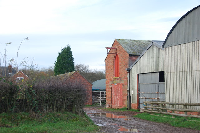
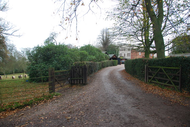
Virginia Plantation is located in Staffordshire, England, known for its picturesque woodlands and rich forestry. The plantation spans over a vast area, encompassing acres of lush greenery and diverse flora and fauna.
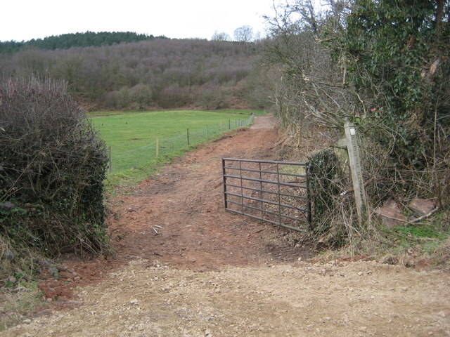
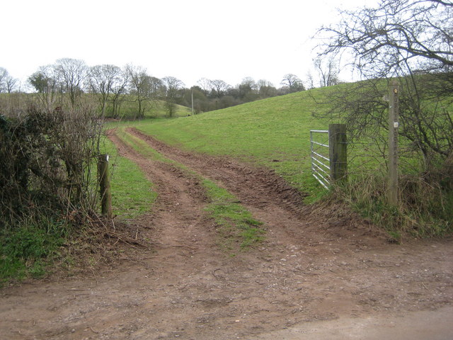
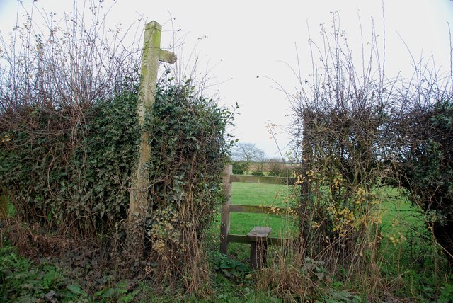
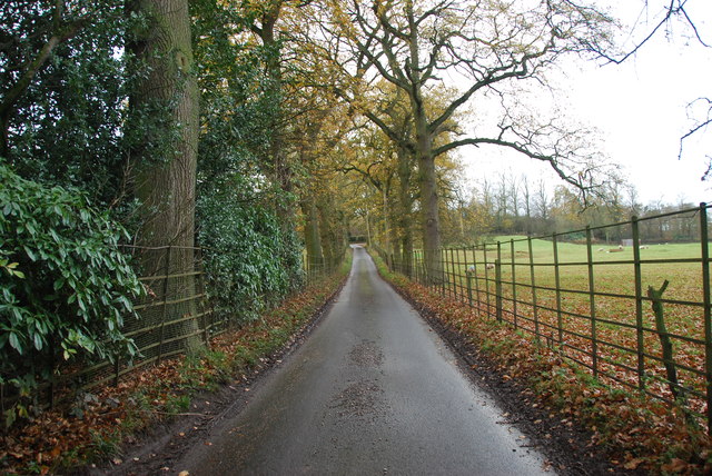
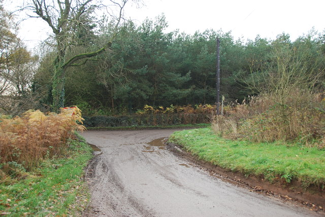
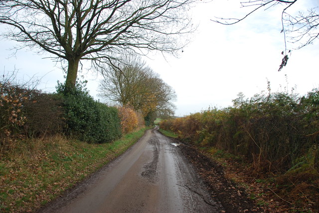
The woodlands of Virginia Plantation are a haven for nature enthusiasts, offering a serene and tranquil environment. The plantation boasts a variety of tree species, including oak, beech, and pine, which provide a stunning canopy and create a vibrant ecosystem. The dense foliage provides ample shade and shelter for a wide range of wildlife, making it a popular spot for birdwatchers and animal lovers.
The plantation is meticulously maintained, with well-maintained footpaths and trails that allow visitors to explore the woodlands at their own pace. These paths wind through the forest, offering breathtaking views of the surrounding landscape and opportunities for peaceful walks and hikes.
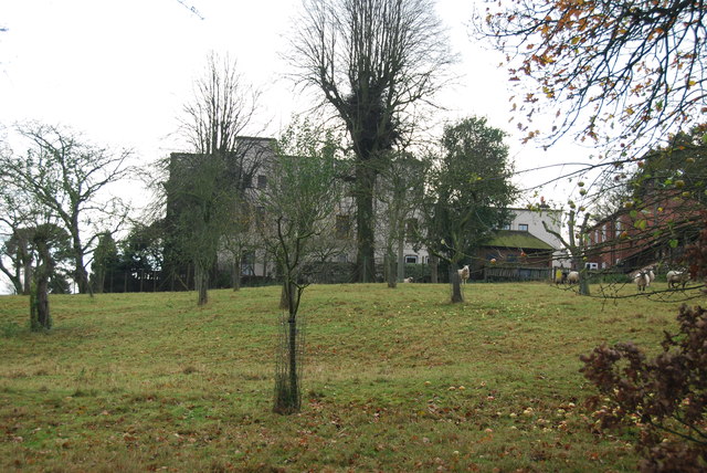
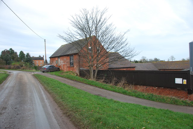
Virginia Plantation is also home to several historical landmarks, which add to its charm and significance. The remnants of an ancient castle can be found within the plantation, serving as a reminder of the area's rich history. These historical features attract history enthusiasts and provide a glimpse into the past.
Visitors to Virginia Plantation can enjoy a range of activities, from picnicking and photography to wildlife spotting and nature walks. The plantation offers a unique opportunity for individuals to escape the hustle and bustle of city life and immerse themselves in the beauty of nature. Whether one is looking for a peaceful retreat or an educational experience, Virginia Plantation is a must-visit destination in Staffordshire.
If you have any feedback on the listing, please let us know in the comments section below.
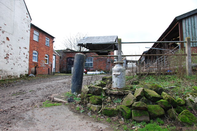
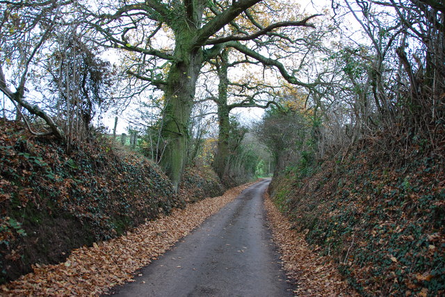
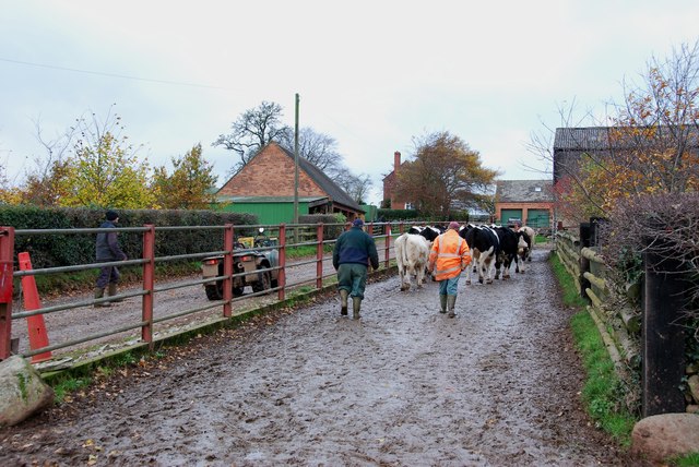
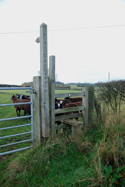
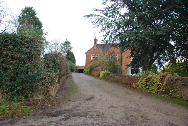
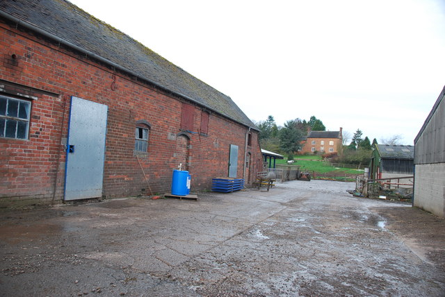
Virginia Plantation Images
Images are sourced within 2km of 52.89694/-2.3353284 or Grid Reference SJ7733. Thanks to Geograph Open Source API. All images are credited.
Virginia Plantation is located at Grid Ref: SJ7733 (Lat: 52.89694, Lng: -2.3353284)
Administrative County: Staffordshire
District: Stafford
Police Authority: Staffordshire
What 3 Words
///remission.patching.grows. Near Standon, Staffordshire
Related Wikis

Croxton, Staffordshire
Croxton is a village on the B5026 between Eccleshall and Loggerheads. Population details for the 2011 census can be found under Eccleshall. It is notable...
Armsdale
Armsdale is a village in Staffordshire, England. Population details for the 2011 census can be found under Eccleshall.

Ashley, Staffordshire
Ashley is a village and former civil parish, now in the parish of Loggerheads, in the Newcastle-under-Lyme district, in the county of Staffordshire, England...
Outlands, Staffordshire
Outlands is a hamlet in the English county of Staffordshire. It lies 1 km eas of Bishop's Offley. == External links == Map sources for Outlands, Staffordshire
Jackson's Coppice and Marsh
Jackson's Coppice and Marsh is a nature reserve of the Staffordshire Wildlife Trust. It is along the River Sow, near the village of Bishop's Offley and...

Standon, Staffordshire
Standon is a village and civil parish in the Stafford district, in the county of Staffordshire, England. Standon has a church called Church of All Saints...
Loggerheads, Staffordshire
Loggerheads is a village and civil parish in north-west Staffordshire, England, on the A53 between Market Drayton and Newcastle-under-Lyme. == Name... ==

Cop Mere
Cop Mere is one of the largest natural bodies of water in Staffordshire, England, covering 42 acres (17 ha). It has been designated a SSSI as an oligotrophic...
Nearby Amenities
Located within 500m of 52.89694,-2.3353284Have you been to Virginia Plantation?
Leave your review of Virginia Plantation below (or comments, questions and feedback).