Sherry Fields Plantation

Wood, Forest in Staffordshire Stafford

England

Sherry Fields Plantation

Footpath off Langot Lane Footpath going west towards Bishop's Wood
Footpath off Langot Lane Credit: Peter Fleming

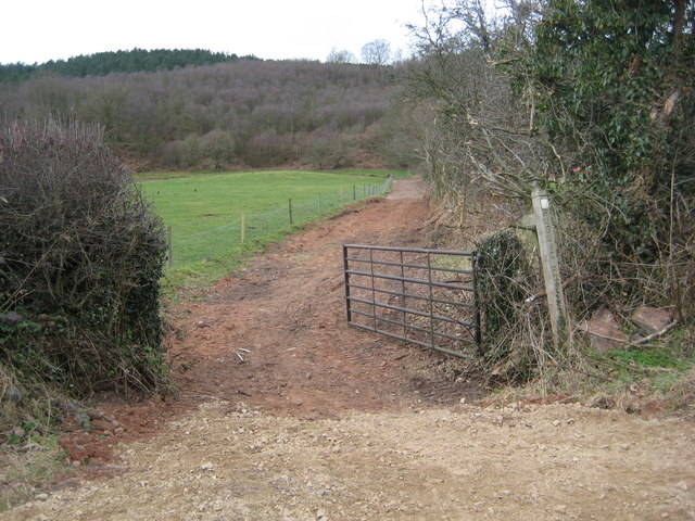
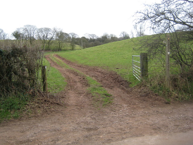
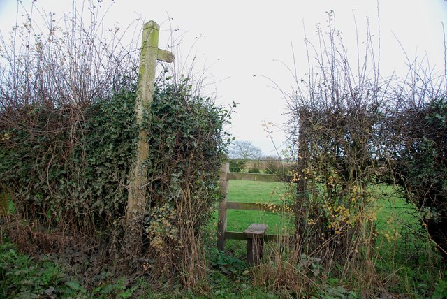
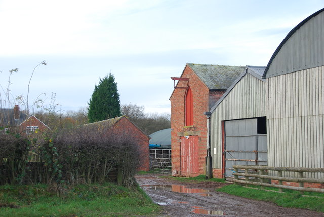
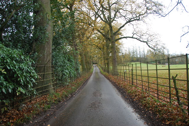
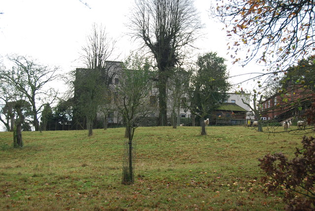
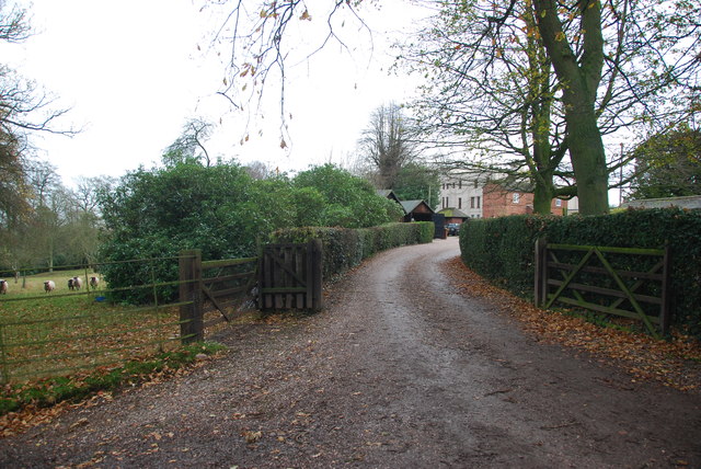
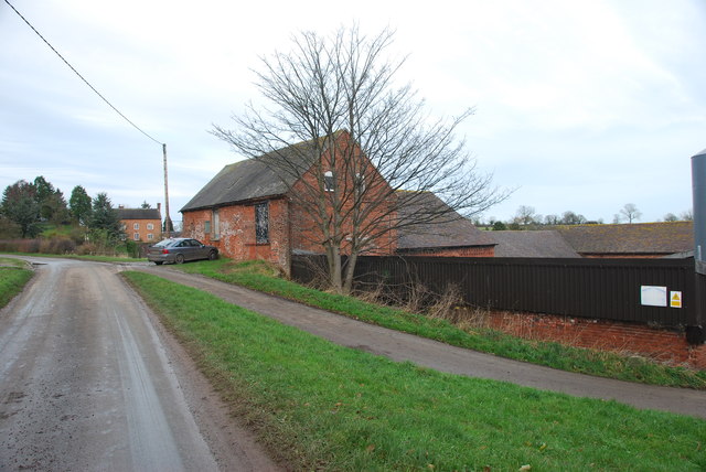
Sherry Fields Plantation is a picturesque woodland located in Staffordshire, England. Situated in the heart of the county, this plantation covers a vast area of land and is known for its dense forest and lush greenery. It is a popular destination for nature enthusiasts, hikers, and those seeking a tranquil escape from the bustling city life.

The plantation is home to a diverse range of flora and fauna, making it a haven for wildlife. Visitors can expect to spot a variety of bird species, including woodpeckers, owls, and various songbirds. The woodland floor is adorned with a colorful carpet of wildflowers, creating a breathtaking sight during the spring and summer months.

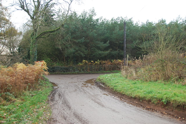
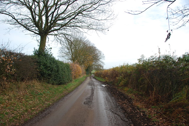
The forest itself is predominantly composed of towering oak, beech, and birch trees, which provide a cool and shaded environment for leisurely walks. There are several well-marked trails that wind through the plantation, allowing visitors to explore its natural beauty at their own pace. These paths offer stunning views of the surrounding countryside and occasional glimpses of wildlife in their natural habitat.

Sherry Fields Plantation also boasts a rich history. It is believed to have been an ancient hunting ground for nobility during the medieval period. Some remnants of this past, such as old stone walls and earthwork, can still be found throughout the woodland, adding an intriguing element to the visitor's experience.

Overall, Sherry Fields Plantation is a captivating destination that offers a tranquil escape into nature. With its enchanting forest, abundant wildlife, and rich history, it is an ideal location for those seeking solace and natural beauty in Staffordshire.

If you have any feedback on the listing, please let us know in the comments section below.

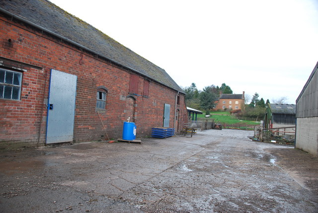
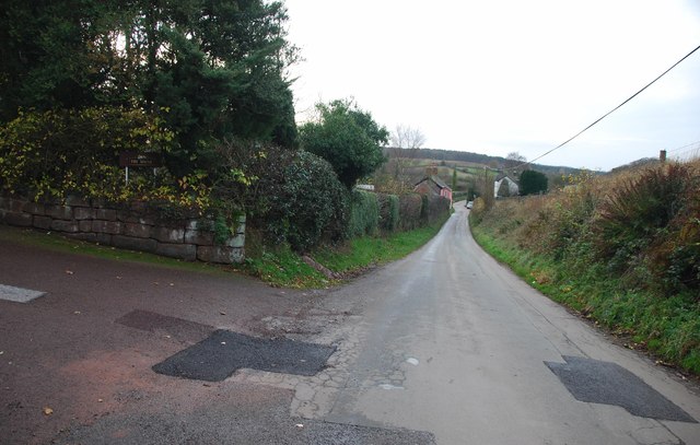
Sherry Fields Plantation Images

Images are sourced within 2km of 52.896581/-2.3416135 or Grid Reference SJ7733. Thanks to Geograph Open Source API. All images are credited.

Footpath off Langot Lane Footpath going west towards Bishop's Wood
Footpath off Langot Lane
Footpath going west towards Bishop's Wood
Footpath off Langot Lane Footpath east off Langot Lane
Footpath off Langot Lane
Footpath east off Langot Lane
Free Gospel Chapel The Chapel, built in 1874 according to the stone above the door, appears to be under development for residential use.
Free Gospel Chapel
The Chapel, built in 1874 according to the stone above the door, appears to be under development for residential use.
Small Farm in Croxton This farm has a very inventive post box, it is an old milk churn, with a waterproof slot near the top, and a door has been cut lower down to enable the post to be removed.
Small Farm in Croxton
This farm has a very inventive post box, it is an old milk churn, with a waterproof slot near the top, and a door has been cut lower down to enable the post to be removed.
Stile and footpath to Chatcull
Entrance to Charnes Old Hall farm
Road through Charnes estate This road with its metal fences and avenue of trees, gives the impression that there is large estate nearby.   see link  <span class="nowrap"><a title="http://www.britishlistedbuildings.co.uk/en-272232-charnes-hall-eccleshall" rel="nofollow ugc noopener" href="http://www.britishlistedbuildings.co.uk/en-272232-charnes-hall-eccleshall">Link</a><img style="margin-left:2px;" alt="External link" title="External link - shift click to open in new window" src="https://s1.geograph.org.uk/img/external.png" width="10" height="10"/></span>
Road through Charnes estate
This road with its metal fences and avenue of trees, gives the impression that there is large estate nearby. see link LinkExternal link
Charnes Hall, Eccleshall It is a pity that this old hall is partly covered by trees.  see link  <span class="nowrap"><a title="http://www.britishlistedbuildings.co.uk/en-272232-charnes-hall-eccleshall" rel="nofollow ugc noopener" href="http://www.britishlistedbuildings.co.uk/en-272232-charnes-hall-eccleshall">Link</a><img style="margin-left:2px;" alt="External link" title="External link - shift click to open in new window" src="https://s1.geograph.org.uk/img/external.png" width="10" height="10"/></span>
Charnes Hall, Eccleshall
It is a pity that this old hall is partly covered by trees. see link LinkExternal link
The driveway to Charnes Hall
Looking back to a road junction near the Ashley Road Plantation
Narrow roadway leading to Bromley Mill Farm
Roadway past Bromley Mill Farm I can't find any information about this mill, and mill pool, which is out of sight on the left of picture.
Roadway past Bromley Mill Farm
I can't find any information about this mill, and mill pool, which is out of sight on the left of picture.
The yard at Bromley Mill Farm Bromley Mill farmhouse can be seen beyond the yard, it is in square SJ7835.
The yard at Bromley Mill Farm
Bromley Mill farmhouse can be seen beyond the yard, it is in square SJ7835.
Longfield Cottage at Wetwood This is a charming cottage in the hamlet of Wetwood, the date on the front is 1921.
Longfield Cottage at Wetwood
This is a charming cottage in the hamlet of Wetwood, the date on the front is 1921.
Wetwood Manor, Wetwood
Looking towards Fairoak The drive on the left leads up to a property named The Mount.
Looking towards Fairoak
The drive on the left leads up to a property named The Mount.
Well Cottage, Fairoak The coach going by Well Cottage, gives some idea how of narrow the lanes are around here.
Well Cottage, Fairoak
The coach going by Well Cottage, gives some idea how of narrow the lanes are around here.
Rookery Cottages near Wetwood This row of cottages are very eyecatching as you drive by. The chimneys are worth looking at, there has been a lot of pride taken when building them.
Rookery Cottages near Wetwood
This row of cottages are very eyecatching as you drive by. The chimneys are worth looking at, there has been a lot of pride taken when building them.
Show me another place!

Sherry Fields Plantation is located at Grid Ref: SJ7733 (Lat: 52.896581, Lng: -2.3416135)

Administrative County: Staffordshire

District: Stafford

Police Authority: Staffordshire

What 3 Words

///grants.windpipe.searched. Near Standon, Staffordshire

Related Wikis

Armsdale

Armsdale is a village in Staffordshire, England. Population details for the 2011 census can be found under Eccleshall.

Croxton, Staffordshire

Croxton is a village on the B5026 between Eccleshall and Loggerheads. Population details for the 2011 census can be found under Eccleshall. It is notable...

Ashley, Staffordshire

Ashley is a village and former civil parish, now in the parish of Loggerheads, in the Newcastle-under-Lyme district, in the county of Staffordshire, England...

Outlands, Staffordshire

Outlands is a hamlet in the English county of Staffordshire. It lies 1 km eas of Bishop's Offley. == External links == Map sources for Outlands, Staffordshire

Jackson's Coppice and Marsh

Jackson's Coppice and Marsh is a nature reserve of the Staffordshire Wildlife Trust. It is along the River Sow, near the village of Bishop's Offley and...

Loggerheads, Staffordshire

Loggerheads is a village and civil parish in north-west Staffordshire, England, on the A53 between Market Drayton and Newcastle-under-Lyme. == Name... ==

Bowers, Staffordshire

Bowers is a village in Staffordshire, England. For population details as taken in the 2011 census see Standon.

Standon, Staffordshire

Standon is a village and civil parish in the Stafford district, in the county of Staffordshire, England. Standon has a church called Church of All Saints...

Nearby Amenities

Located within 500m of 52.896581,-2.3416135
Bus Stop
Eccleshall Road
Bus: yes
Naptan AtcoCode: 3800C714800
Naptan Bearing: S
Naptan CommonName: Eccleshall Road
Naptan Indicator: Adj
Naptan Landmark: Eccelshall Rd
Naptan Street: Fairoak Bank
Naptan Verified: no
Public Transport: platform
Source: naptan_import
Lat/Long: 52.8960676/-2.3373945
Power: pole
Lat/Long: 52.8948445/-2.3477064
Power: pole
Lat/Long: 52.8934508/-2.3452865
Power: pole
Lat/Long: 52.8940618/-2.3463278
Power: pole
Lat/Long: 52.8929189/-2.3443474
Post Box
Lat/Long: 52.8961958/-2.3369491
Barrier: stile
Lat/Long: 52.8987924/-2.3443898
Wetwood
Place: hamlet
Lat/Long: 52.8955828/-2.3369548
Power: pole
Lat/Long: 52.8954346/-2.3487404
The data included in this document is from www.openstreetmap.org. The data is made available under ODbL.

Have you been to Sherry Fields Plantation?

Leave your review of Sherry Fields Plantation below (or comments, questions and feedback).