Wetwood

Settlement in Staffordshire Stafford

England

Wetwood

Footpath off Langot Lane Footpath going west towards Bishop's Wood
Footpath off Langot Lane Credit: Peter Fleming

Wetwood is a small village located in the county of Staffordshire, England. Situated approximately 8 miles northeast of Stafford, the village lies within the civil parish of Eccleshall. Historically, Wetwood was a part of the ancient Pirehill Hundred.

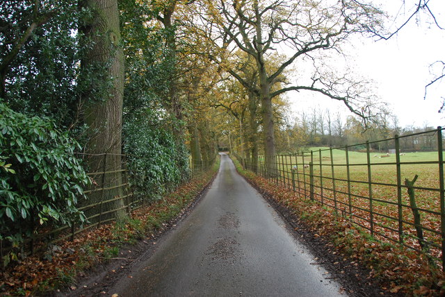
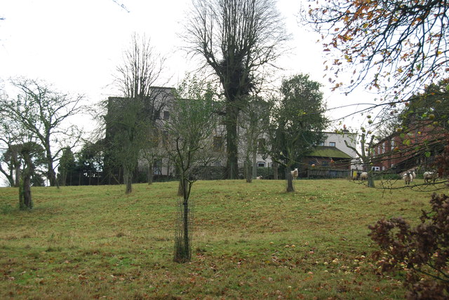
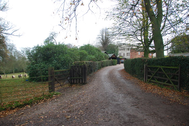
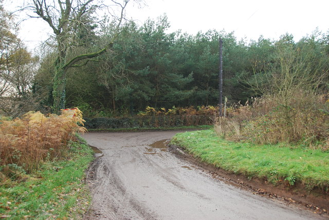
With a population of around 300 residents, Wetwood retains its rural charm and tranquility. The village is surrounded by picturesque countryside, offering stunning views and a peaceful environment for its inhabitants. The nearby River Sow adds to the natural beauty of the area, attracting nature enthusiasts and providing opportunities for leisurely walks along its banks.

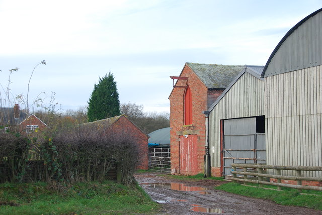
Wetwood is predominantly an agricultural community, and farming has been a vital part of its economy for generations. The fertile land and favorable climate contribute to successful crop cultivation, making farming a significant occupation in the area.

The village does not have a wide range of amenities, but it does boast a charming church, St. Margaret's, which dates back to the 13th century. The church stands as a testament to the village's rich heritage and serves as a place of worship for the local community.

While Wetwood may not offer extensive facilities, its proximity to larger towns such as Stafford and Eccleshall ensures that residents can access a wider range of services, including schools, shops, and healthcare facilities.

Overall, Wetwood presents an idyllic countryside retreat, perfect for those seeking a peaceful and close-knit community, while still enjoying the convenience of nearby towns.

If you have any feedback on the listing, please let us know in the comments section below.
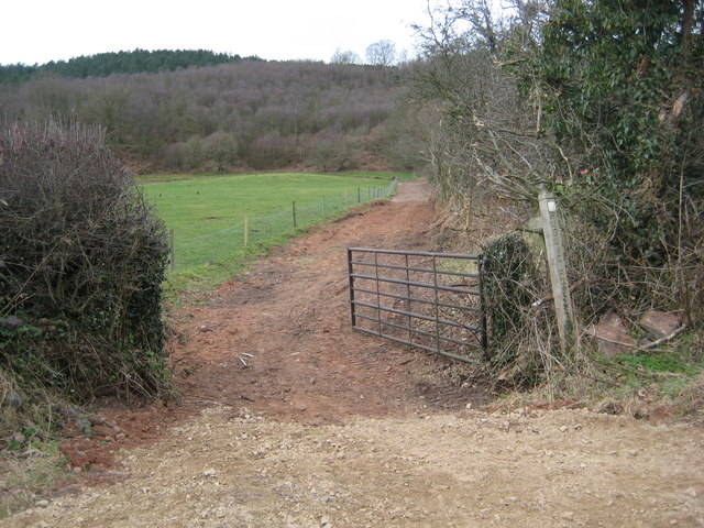
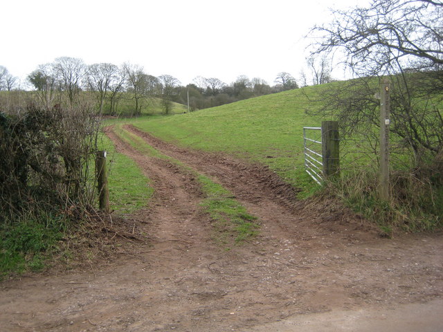
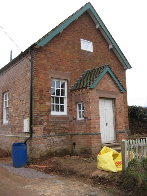
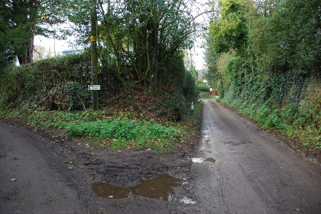
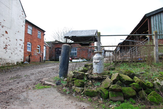
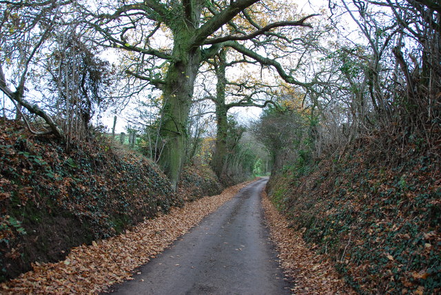
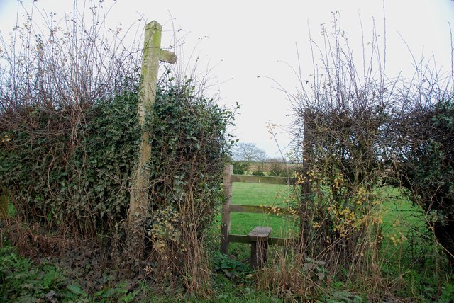
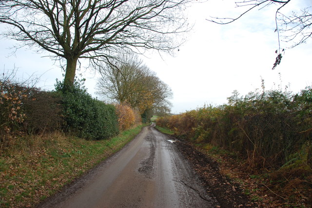
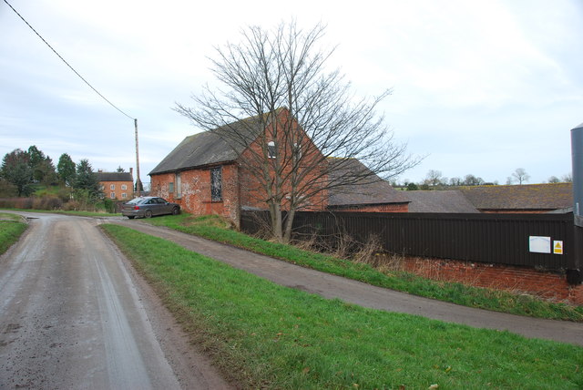
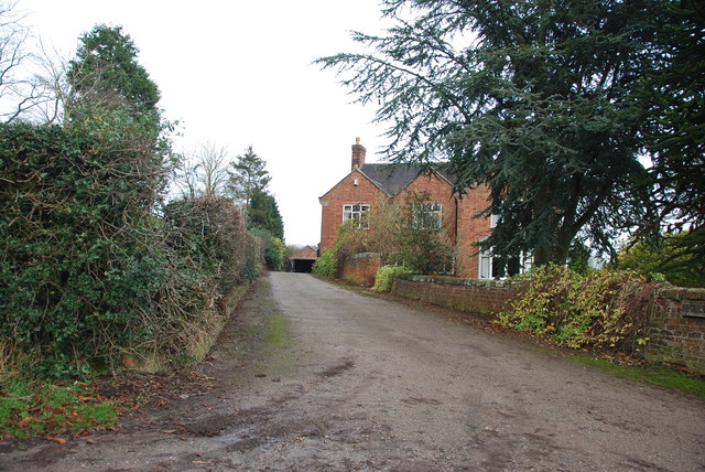
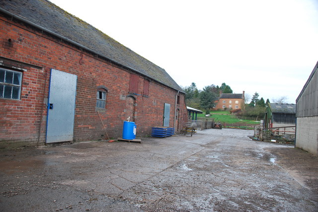
Wetwood Images

Images are sourced within 2km of 52.896207/-2.3372106 or Grid Reference SJ7733. Thanks to Geograph Open Source API. All images are credited.

Footpath off Langot Lane Footpath going west towards Bishop's Wood
Footpath off Langot Lane
Footpath going west towards Bishop's Wood
Footpath off Langot Lane Footpath east off Langot Lane
Footpath off Langot Lane
Footpath east off Langot Lane
Free Gospel Chapel The Chapel, built in 1874 according to the stone above the door, appears to be under development for residential use.
Free Gospel Chapel
The Chapel, built in 1874 according to the stone above the door, appears to be under development for residential use.
Side Streets in Croxton The lane straight on rejoins the B5026 just outside the village, the lane to the left goes to Woodwall Green.
Side Streets in Croxton
The lane straight on rejoins the B5026 just outside the village, the lane to the left goes to Woodwall Green.
Small Farm in Croxton This farm has a very inventive post box, it is an old milk churn, with a waterproof slot near the top, and a door has been cut lower down to enable the post to be removed.
Small Farm in Croxton
This farm has a very inventive post box, it is an old milk churn, with a waterproof slot near the top, and a door has been cut lower down to enable the post to be removed.
Narrow Lane heading towards Newhouse Farm The lanes round here don't seem to get much wider, but at least they are not getting narrower. They must be rough when there is snow about.
Narrow Lane heading towards Newhouse Farm
The lanes round here don't seem to get much wider, but at least they are not getting narrower. They must be rough when there is snow about.
Stile and footpath to Chatcull
Entrance to Charnes Old Hall farm
Road through Charnes estate This road with its metal fences and avenue of trees, gives the impression that there is large estate nearby.   see link  <span class="nowrap"><a title="http://www.britishlistedbuildings.co.uk/en-272232-charnes-hall-eccleshall" rel="nofollow ugc noopener" href="http://www.britishlistedbuildings.co.uk/en-272232-charnes-hall-eccleshall">Link</a><img style="margin-left:2px;" alt="External link" title="External link - shift click to open in new window" src="https://s1.geograph.org.uk/img/external.png" width="10" height="10"/></span>
Road through Charnes estate
This road with its metal fences and avenue of trees, gives the impression that there is large estate nearby. see link LinkExternal link
Charnes Hall, Eccleshall It is a pity that this old hall is partly covered by trees.  see link  <span class="nowrap"><a title="http://www.britishlistedbuildings.co.uk/en-272232-charnes-hall-eccleshall" rel="nofollow ugc noopener" href="http://www.britishlistedbuildings.co.uk/en-272232-charnes-hall-eccleshall">Link</a><img style="margin-left:2px;" alt="External link" title="External link - shift click to open in new window" src="https://s1.geograph.org.uk/img/external.png" width="10" height="10"/></span>
Charnes Hall, Eccleshall
It is a pity that this old hall is partly covered by trees. see link LinkExternal link
The driveway to Charnes Hall
Looking back to a road junction near the Ashley Road Plantation
Narrow roadway leading to Bromley Mill Farm
Roadway past Bromley Mill Farm I can't find any information about this mill, and mill pool, which is out of sight on the left of picture.
Roadway past Bromley Mill Farm
I can't find any information about this mill, and mill pool, which is out of sight on the left of picture.
Entrance drive to Bromley Mill Farm House
The yard at Bromley Mill Farm Bromley Mill farmhouse can be seen beyond the yard, it is in square SJ7835.
The yard at Bromley Mill Farm
Bromley Mill farmhouse can be seen beyond the yard, it is in square SJ7835.
Longfield Cottage at Wetwood This is a charming cottage in the hamlet of Wetwood, the date on the front is 1921.
Longfield Cottage at Wetwood
This is a charming cottage in the hamlet of Wetwood, the date on the front is 1921.
Wetwood Manor, Wetwood
Show me another place!

Wetwood is located at Grid Ref: SJ7733 (Lat: 52.896207, Lng: -2.3372106)

Administrative County: Staffordshire

District: Stafford

Police Authority: Staffordshire

What 3 Words

///record.layers.forgiving. Near Standon, Staffordshire

Related Wikis

Croxton, Staffordshire

Croxton is a village on the B5026 between Eccleshall and Loggerheads. Population details for the 2011 census can be found under Eccleshall. It is notable...

Armsdale

Armsdale is a village in Staffordshire, England. Population details for the 2011 census can be found under Eccleshall.

Outlands, Staffordshire

Outlands is a hamlet in the English county of Staffordshire. It lies 1 km eas of Bishop's Offley. == External links == Map sources for Outlands, Staffordshire

Ashley, Staffordshire

Ashley is a village and former civil parish, now in the parish of Loggerheads, in the Newcastle-under-Lyme district, in the county of Staffordshire, England...

Jackson's Coppice and Marsh

Jackson's Coppice and Marsh is a nature reserve of the Staffordshire Wildlife Trust. It is along the River Sow, near the village of Bishop's Offley and...

Loggerheads, Staffordshire

Loggerheads is a village and civil parish in north-west Staffordshire, England, on the A53 between Market Drayton and Newcastle-under-Lyme. == Name... ==

Standon, Staffordshire

Standon is a village and civil parish in the Stafford district, in the county of Staffordshire, England. Standon has a church called Church of All Saints...

Cop Mere

Cop Mere is one of the largest natural bodies of water in Staffordshire, England, covering 42 acres (17 ha). It has been designated a SSSI as an oligotrophic...

Nearby Amenities

Located within 500m of 52.896207,-2.3372106
Bus Stop
Eccleshall Road
Bus: yes
Naptan AtcoCode: 3800C714800
Naptan Bearing: S
Naptan CommonName: Eccleshall Road
Naptan Indicator: Adj
Naptan Landmark: Eccelshall Rd
Naptan Street: Fairoak Bank
Naptan Verified: no
Public Transport: platform
Source: naptan_import
Lat/Long: 52.8960676/-2.3373945
Post Box
Lat/Long: 52.8961958/-2.3369491
Wetwood
Place: hamlet
Lat/Long: 52.8955828/-2.3369548
The data included in this document is from www.openstreetmap.org. The data is made available under ODbL.

Have you been to Wetwood?

Leave your review of Wetwood below (or comments, questions and feedback).