The Frances Cole Wood
Wood, Forest in Staffordshire Stafford
England
The Frances Cole Wood
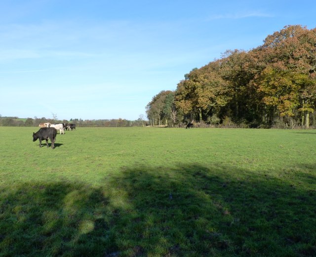
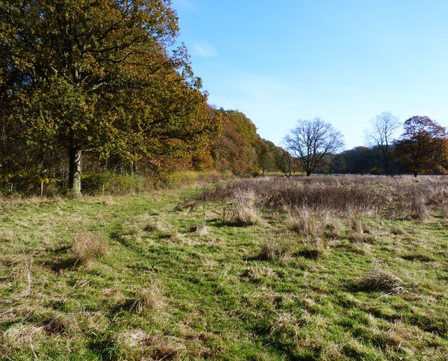
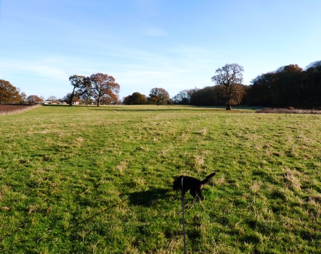
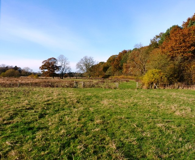
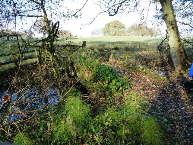
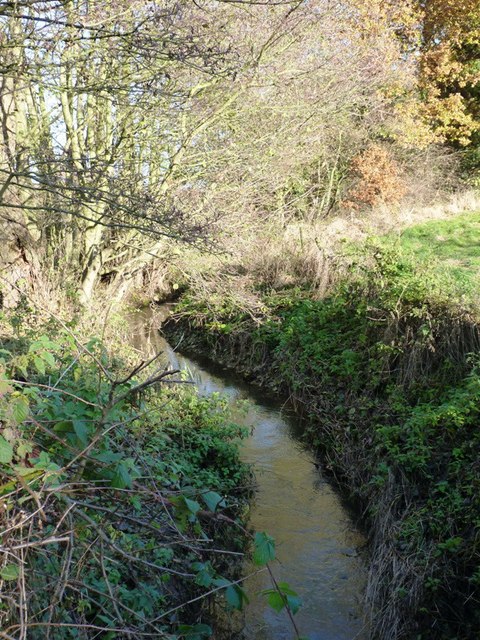
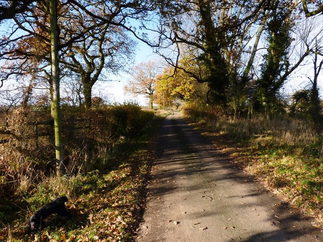
The Frances Cole Wood is a forest located in Staffordshire, England. It is known for its sprawling woodlands and picturesque scenery, attracting nature enthusiasts and hikers alike. Covering an area of approximately 500 acres, the wood is home to a diverse range of flora and fauna.
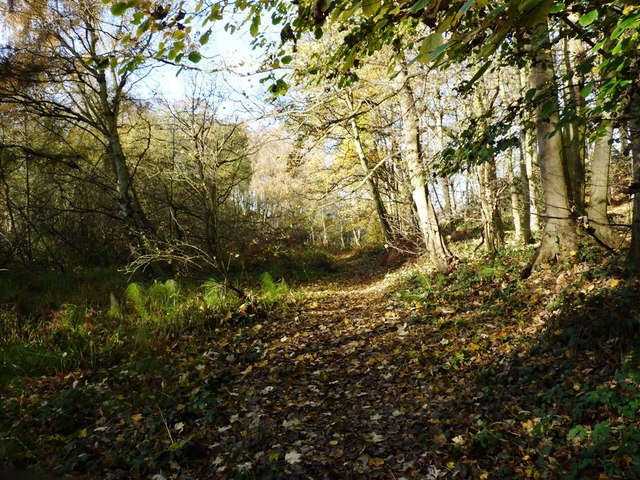
The wood is primarily composed of deciduous trees, such as oak, beech, and birch, which provide a stunning display of vibrant colors during the autumn season. The dense foliage creates a tranquil and secluded atmosphere, making it a popular spot for those seeking peace and serenity.
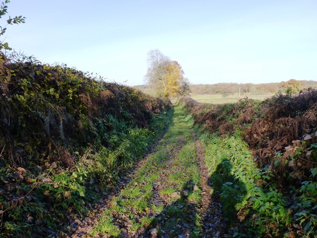
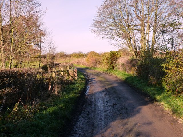
A network of well-maintained walking trails crisscrosses through the forest, allowing visitors to explore its natural beauty. These trails cater to various levels of difficulty, from leisurely strolls to more challenging hikes. Along the way, one may catch glimpses of wildlife, including deer, foxes, and a variety of bird species.
The Frances Cole Wood is also home to a number of historical landmarks and archaeological sites. Ruins of ancient buildings and remnants of old settlements can be found scattered throughout the area, providing a glimpse into the region's rich history.
Visitors to the wood can enjoy a range of recreational activities, such as picnicking, birdwatching, and photography. Additionally, the wood offers educational programs and guided tours, allowing visitors to learn more about the forest's ecological significance and conservation efforts.
Overall, the Frances Cole Wood in Staffordshire is a haven for nature lovers, offering a blend of natural beauty, historical intrigue, and recreational opportunities.
If you have any feedback on the listing, please let us know in the comments section below.
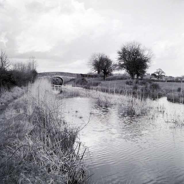
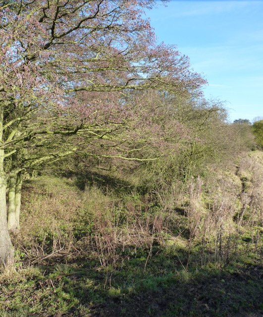
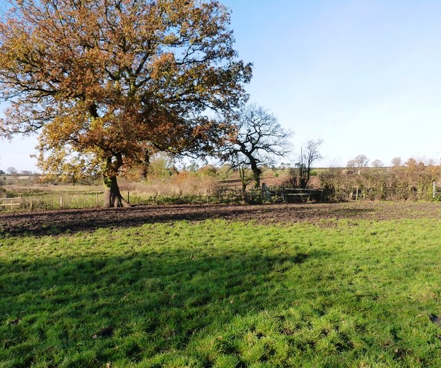
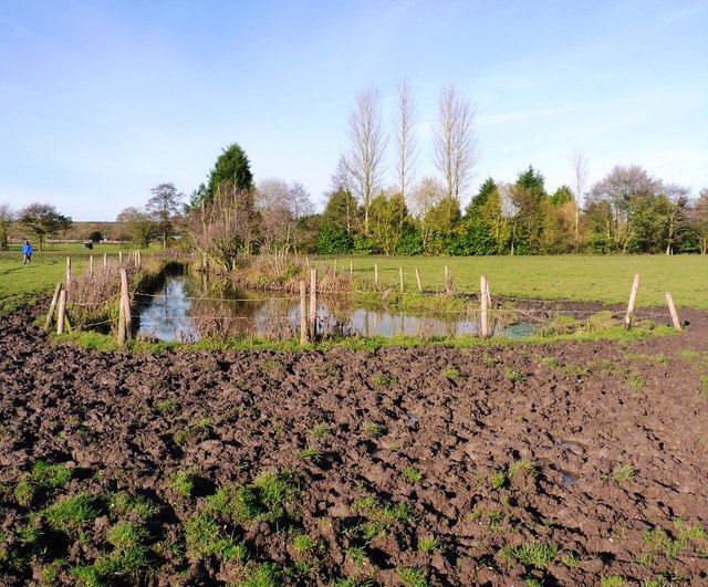
The Frances Cole Wood Images
Images are sourced within 2km of 52.798751/-2.3345573 or Grid Reference SJ7722. Thanks to Geograph Open Source API. All images are credited.
The Frances Cole Wood is located at Grid Ref: SJ7722 (Lat: 52.798751, Lng: -2.3345573)
Administrative County: Staffordshire
District: Stafford
Police Authority: Staffordshire
What 3 Words
///gliding.cupcake.devoured. Near Newport, Shropshire
Nearby Locations
Related Wikis

Norbury, Staffordshire
Norbury is a village and civil parish in the Borough of Stafford, in west Staffordshire, England. The population as taken at the 2011 census was 371.It...

Gnosall Rural District
Gnosall was a rural district in Staffordshire, England from 1894 to 1934. It was formed under the Local Government Act 1894 from that part of the Newport...

Norbury Junction
Norbury Junction (grid reference SJ793228) is a hamlet and former canal junction which lies about 1 mile (1.6 km) to the south east of Norbury, in Staffordshire...

Aqualate Mere
Aqualate Mere, in Staffordshire, is the largest natural lake in the English Midlands and is managed as a national nature reserve (NNR) by Natural England...
Loynton
Loynton is a hamlet on the A519 near the villages of Norbury, and Woodseaves in Staffordshire, England. It lies in the civil parish of Norbury. Loynton...
Back Brook, English Midlands
The Back Brook is a minor watercourse in the English counties of Shropshire and Staffordshire, in places forming the boundary between the two, and located...

Forton Hall
Forton Hall is a 17th-century country house situated in the village of Forton, Staffordshire, close to the Shropshire border at Newport. It is a Grade...
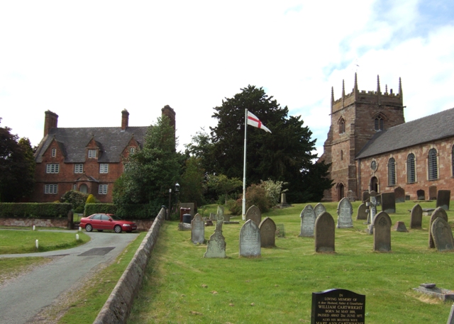
Forton, Staffordshire
Forton is a small village and civil parish in Staffordshire, England, situated east of the market town of Newport, Shropshire. The civil Parish population...
Nearby Amenities
Located within 500m of 52.798751,-2.3345573Have you been to The Frances Cole Wood?
Leave your review of The Frances Cole Wood below (or comments, questions and feedback).