Hawsteads Plantation

Wood, Forest in Westmorland Eden

England

Hawsteads Plantation

Blandswath Bridge over the River Eden
Blandswath Bridge over the River Eden Credit: Bikeboy

Hawsteads Plantation is a scenic woodland area located in the county of Westmorland, England. Spread across a vast area, this plantation is known for its dense forest cover and diverse range of plant species. Situated amidst the picturesque landscape of the Lake District National Park, Hawsteads Plantation offers visitors a tranquil and serene environment to explore and immerse themselves in nature.

The plantation is primarily composed of deciduous trees such as oak, beech, and birch, which provide a stunning display of colors during the autumn season. These trees create a dense canopy that offers shade and shelter to various wildlife species that inhabit the area. Among the animals that can be spotted in the plantation are red squirrels, foxes, badgers, and a variety of birds including woodpeckers and owls.

Hawsteads Plantation features several walking trails and paths that allow visitors to enjoy the natural beauty of the woodland. The paths wind through the forest, leading to open clearings and viewpoints that offer breathtaking vistas of the surrounding countryside. These trails are well-maintained and suitable for walkers of all ages and abilities.

In addition to its natural beauty, Hawsteads Plantation also holds historical significance. The woodland was once part of an ancient hunting ground and has remnants of old stone walls and structures, providing glimpses into its past.

Overall, Hawsteads Plantation in Westmorland is a haven for nature enthusiasts and those seeking a peaceful retreat. Its lush forest, diverse wildlife, and captivating scenery make it a must-visit destination for anyone looking to reconnect with nature in the heart of England's countryside.

If you have any feedback on the listing, please let us know in the comments section below.

Hawsteads Plantation Images

Images are sourced within 2km of 54.488706/-2.3485403 or Grid Reference NY7710. Thanks to Geograph Open Source API. All images are credited.

Blandswath Bridge over the River Eden
Parapet of Eastfield Bridge and the River Eden
Footbridge over the Eden near Beckfoot Beckfoot Lane crosses the river through a ford in the foreground but a footbridge allows pedestrians to cross dry shod.
Footbridge over the Eden near Beckfoot
Beckfoot Lane crosses the river through a ford in the foreground but a footbridge allows pedestrians to cross dry shod.
Beckfoot Lane approaching Appleby Road
On the footpath past Blands Wath The footpath passes in front of the sandstone cottages and out into the pastureland beyond.
On the footpath past Blands Wath
The footpath passes in front of the sandstone cottages and out into the pastureland beyond.
Beckfoot Lane beside Scandal Beck The lane moves close to the beck for a short stretch before both reach the River Eden. The beck is a major watercourse in its own right and at this point is almost as large as the river it soon joins.
Beckfoot Lane beside Scandal Beck
The lane moves close to the beck for a short stretch before both reach the River Eden. The beck is a major watercourse in its own right and at this point is almost as large as the river it soon joins.
Boundary stone and possible bench mark near Beckstones The stone sits on the parish boundary of Kirkby Stephen and Brough Sowerby. The lettering 'Ky Stephen' is cut into this side and there is also a bench mark-like arrow at the top of the stone. It was not possible to see the other side of the stone.
Boundary stone and possible bench mark near Beckstones
The stone sits on the parish boundary of Kirkby Stephen and Brough Sowerby. The lettering 'Ky Stephen' is cut into this side and there is also a bench mark-like arrow at the top of the stone. It was not possible to see the other side of the stone.
Ford at Winton This ford on the Scandal Beck is found along the byway which leads to the major ford on the River Eden at Winton.
Ford at Winton
This ford on the Scandal Beck is found along the byway which leads to the major ford on the River Eden at Winton.
Ford at Beckfoot, Winton This ford on the River Eden is found on the byway leading out of Soulby. The ford is deep but navigable.
<span class="nowrap"><a title="https://youtu.be/d2rPA9fihME" rel="nofollow ugc noopener" href="https://youtu.be/d2rPA9fihME">Link</a><img style="margin-left:2px;" alt="External link" title="External link - shift click to open in new window" src="https://s1.geograph.org.uk/img/external.png" width="10" height="10"/></span>
Ford at Beckfoot, Winton
This ford on the River Eden is found on the byway leading out of Soulby. The ford is deep but navigable. LinkExternal link
Winton United Church Baptist Methodist, Winton
River Eden Looking W from Blandwath Bridge
River Eden
Looking W from Blandwath Bridge
Entrance and Road to Skelcies
Bench Mark Old OS bench mark on the S side of the entrance to Skelcies
Bench Mark
Old OS bench mark on the S side of the entrance to Skelcies
Avenue of Trees at Winton Field
Eastfield  Bridge Eastfield Bridge carries the B6259 over the River Eden from Kirkby Stephen to Warcop
Eastfield Bridge
Eastfield Bridge carries the B6259 over the River Eden from Kirkby Stephen to Warcop
Junction The junction of Daleholme Lane with the B6259 Kirkby Stephen to Warcop road
Junction
The junction of Daleholme Lane with the B6259 Kirkby Stephen to Warcop road
Gate Gate on the side of the A685 SW of Kaber Cross
Gate
Gate on the side of the A685 SW of Kaber Cross
Road sign goal post A cross roads sign giving extra support to the goal on Winton village green.
Road sign goal post
A cross roads sign giving extra support to the goal on Winton village green.
Show me another place!

Hawsteads Plantation is located at Grid Ref: NY7710 (Lat: 54.488706, Lng: -2.3485403)

Administrative County: Cumbria

District: Eden

Police Authority: Cumbria

What 3 Words

///splinters.juggles.suckle. Near Kirkby Stephen, Cumbria

Nearby Locations

Hawsteads Plantation

Related Wikis

Winton, Cumbria

Winton is a village and civil parish in the Eden District of Cumbria, England. It is 2.9 miles (4.7 km) south of Brough, and 1.6 miles (2.6 km) north of...

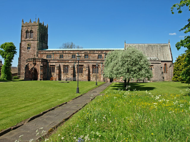
St Stephen's Church, Kirkby Stephen

The Parish Church, Kirkby Stephen is an Anglican parish church in Kirkby Stephen, Cumbria. == History == Kirkby Stephen Parish Church is often called the...

Kirkby Stephen Grammar School

Kirkby Stephen Grammar School is a coeducational secondary school. It is an Academy and has a sixth form. It is located in Kirkby Stephen in the English...

Hartley, Cumbria

Hartley is a village and civil parish in the Eden district of Cumbria, England. It is about 0.5 miles (0.8 km) east of Kirkby Stephen. The area has many...
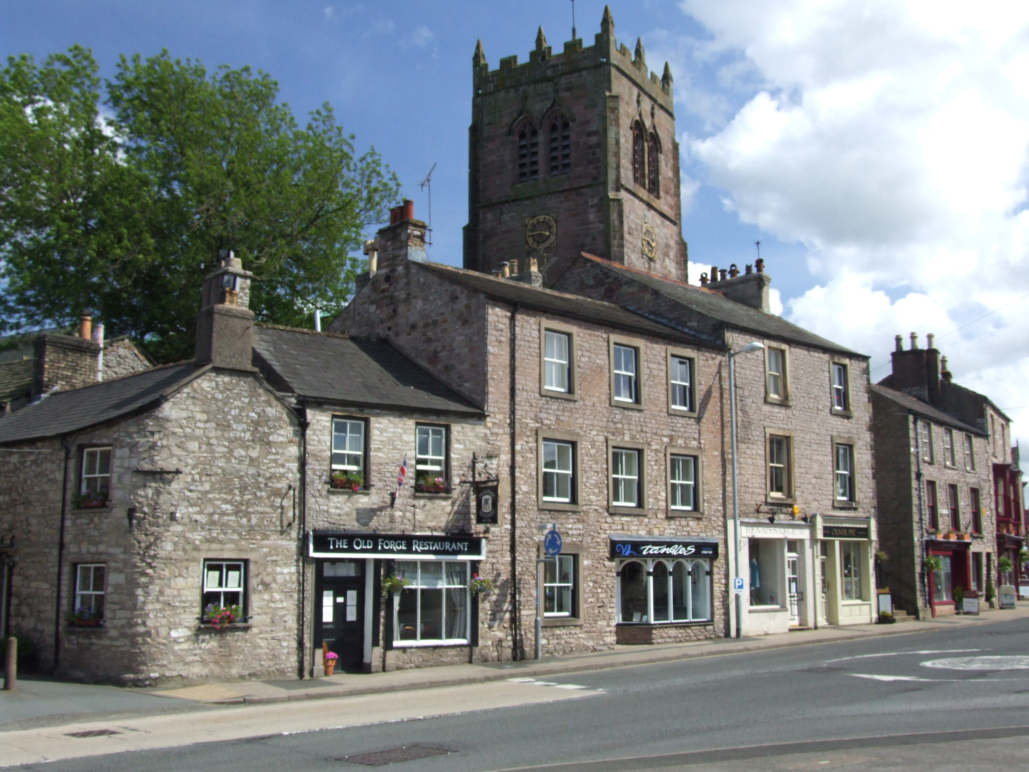
Kirkby Stephen

Kirkby Stephen () is a market town and civil parish in Westmorland and Furness, Cumbria, England. Historically part of Westmorland, it lies on the A685...

Stainmore Railway Company

Stainmore Railway Company is a volunteer-run, non-profit preservation company formed in 2000 with the aim of restoring Kirkby Stephen East railway station...

River Belah

The River Belah is a river in the county of Cumbria in England. Its name derives from the Old English word Belge and means the "Roaring River".The Belah...

Hartley Castle

Hartley Castle was a castle near Kirkby Stephen, Cumbria, England. == History == The manor was confiscated circa 1315 from Roger de Clifford and granted...

Nearby Amenities

Located within 500m of 54.488706,-2.3485403
Power: pole
Lat/Long: 54.4870443/-2.3422766
Power: pole
Lat/Long: 54.4867467/-2.3433763
Power: pole
Transformer: distribution
Lat/Long: 54.4878178/-2.3527895
Power: pole
Lat/Long: 54.486675/-2.3522651
Power: pole
Lat/Long: 54.4855797/-2.351777
Power: pole
Lat/Long: 54.484704/-2.3511949
Power: pole
Lat/Long: 54.4864911/-2.3444089
Power: pole
Lat/Long: 54.48603/-2.3460692
Power: pole
Lat/Long: 54.4856731/-2.3473486
Power: pole
Lat/Long: 54.4850624/-2.3484993
Power: pole
Lat/Long: 54.4844718/-2.3495695
Power: pole
Lat/Long: 54.4873294/-2.3440629
Power: pole
Lat/Long: 54.487884/-2.3447523
Power: pole
Transformer: distribution
Lat/Long: 54.4887745/-2.3458546
The data included in this document is from www.openstreetmap.org. The data is made available under ODbL.

Have you been to Hawsteads Plantation?

Leave your review of Hawsteads Plantation below (or comments, questions and feedback).