Martin's Wood

Wood, Forest in Dorset

England

Martin's Wood

Moigne Combe Wood
Moigne Combe Wood Credit: Alex McGregor

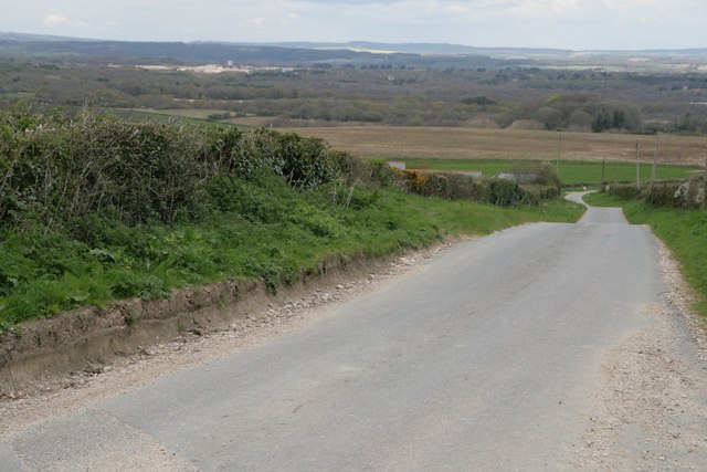
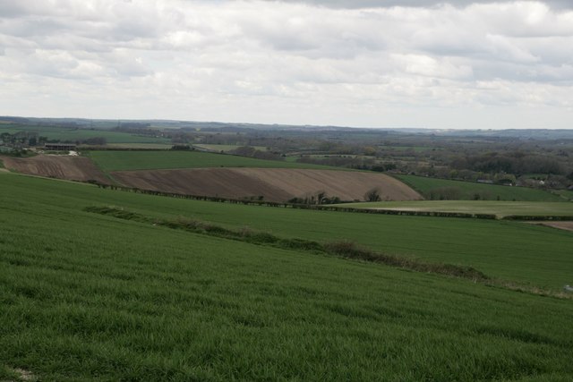
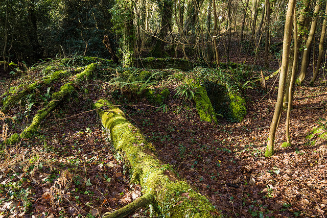
Martin's Wood is a picturesque forest located in the county of Dorset, England. Covering an area of approximately 100 acres, it is a popular destination for nature enthusiasts and outdoor adventurers alike. The wood is situated near the village of Martin, which is known for its quaint charm and historical significance.

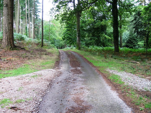
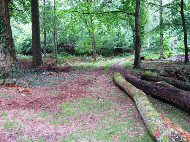
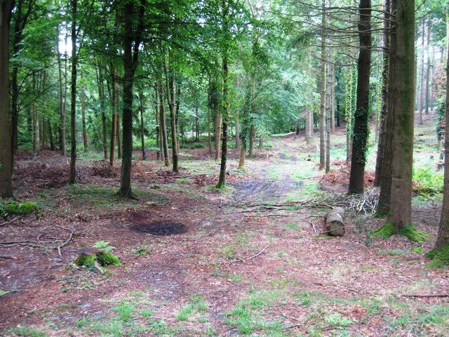
As visitors step into Martin's Wood, they are immediately greeted by a serene atmosphere and a sense of tranquility. The forest is predominantly made up of native deciduous trees such as oak, beech, and ash, which create a stunning canopy that provides shade during the summer months. The rich undergrowth is home to a variety of wildflowers, adding vibrant bursts of color to the woodland floor.

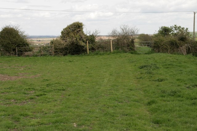
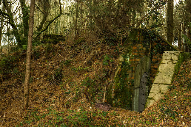
The wood is crisscrossed with well-maintained walking trails, allowing visitors to explore its natural beauty at their own pace. These trails lead visitors through different sections of the forest, each offering its own unique charm. From hidden ponds teeming with wildlife to ancient trees that have stood the test of time, Martin's Wood never fails to captivate its visitors.

The forest also serves as a natural habitat for a diverse range of wildlife. Birdwatchers can spot species such as woodpeckers, owls, and warblers, while lucky visitors may even catch a glimpse of deer or foxes. The wood's peaceful environment makes it an ideal spot for wildlife observation and photography.

Overall, Martin's Wood in Dorset is a haven for those seeking a connection with nature. Its idyllic setting, diverse flora and fauna, and well-maintained trails make it a must-visit destination for anyone looking to escape the hustle and bustle of everyday life.

If you have any feedback on the listing, please let us know in the comments section below.

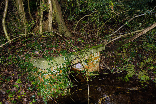
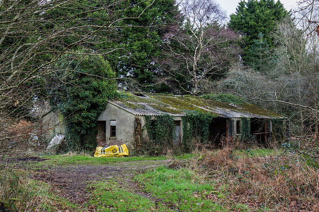
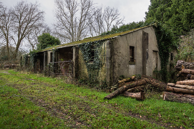
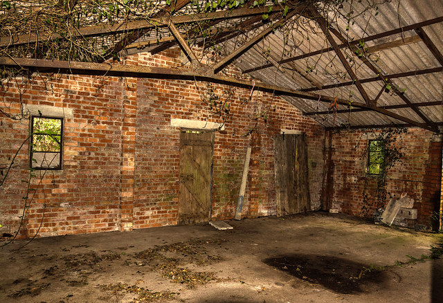
Martin's Wood Images

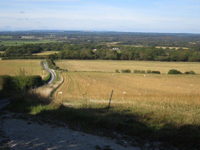
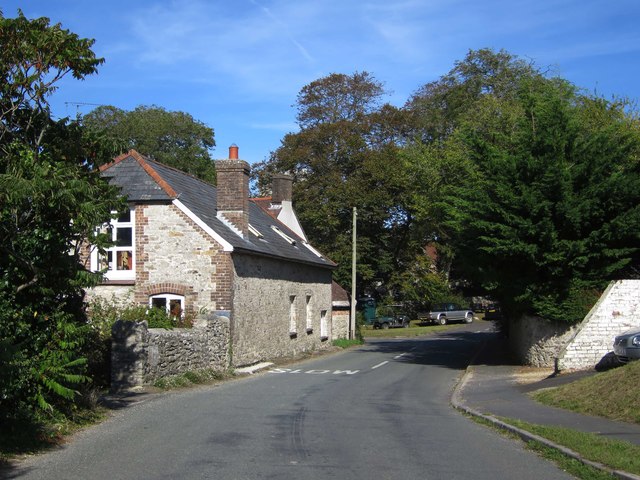
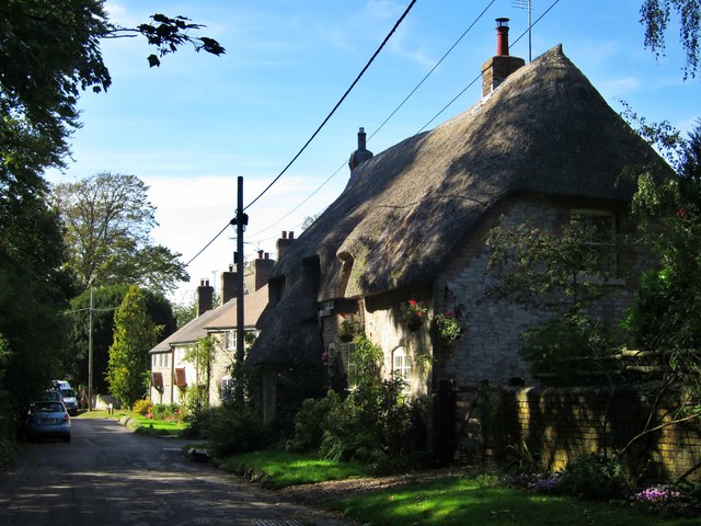
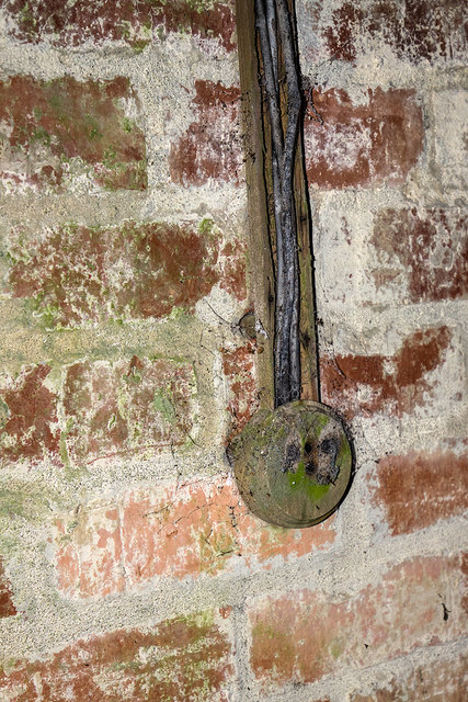
Images are sourced within 2km of 50.671379/-2.3202568 or Grid Reference SY7785. Thanks to Geograph Open Source API. All images are credited.

Moigne Combe Wood
Moigne Combe Wood
Moigne Combe Wood
Moigne Combe Wood
Moigne Combe Wood
Moigne Combe Wood
Road north of Holworth Owermoigne Down barn roof can just be seen to the left of the road.
Road north of Holworth
Owermoigne Down barn roof can just be seen to the left of the road.
Ridgeway path west of the Five Marys
Lord's Barrow near Owermoigne Bronze age burial ground.
Lord's Barrow near Owermoigne
Bronze age burial ground.
Owermogne: tractor tracks in a green field Tractor tyre tracks pick out the contours of the ridge between Owermoigne and West Chaldon - the kink on the left is thanks to the field edge skirting round a disused pit.

The road signs facing the other way are a warning of cattle crossing (the building alongside us is marked on the map as a dairy) and, the nearer one, denoting a passing place.
Owermogne: tractor tracks in a green field
Tractor tyre tracks pick out the contours of the ridge between Owermoigne and West Chaldon - the kink on the left is thanks to the field edge skirting round a disused pit. The road signs facing the other way are a warning of cattle crossing (the building alongside us is marked on the map as a dairy) and, the nearer one, denoting a passing place.
Old Milestone by the A352, Chaldon Herring Carved stone post by the A352, in parish of Chaldon Herring (Purbeck District), 60m East of turning to Tadnoll, 4m back from road on rough grass verge, on North side of road. Dorset 3 (limestone), erected by the Dorchester & Wool Turnpike Trust in the 19th century. 

Inscription reads:-
WAREHAM
9
DORCHESTER
8 
Cancelled benchmark on bottom left of front face.

Grade II listed. List Entry Number: 1120520
<span class="nowrap"><a title="https://historicengland.org.uk/listing/the-list/list-entry/1120520" rel="nofollow ugc noopener" href="https://historicengland.org.uk/listing/the-list/list-entry/1120520">Link</a><img style="margin-left:2px;" alt="External link" title="External link - shift click to open in new window" src="https://s1.geograph.org.uk/img/external.png" width="10" height="10"/></span>

Milestone Society National ID: DO_DOWA08.
Old Milestone by the A352, Chaldon Herring
Carved stone post by the A352, in parish of Chaldon Herring (Purbeck District), 60m East of turning to Tadnoll, 4m back from road on rough grass verge, on North side of road. Dorset 3 (limestone), erected by the Dorchester & Wool Turnpike Trust in the 19th century. Inscription reads:- WAREHAM 9 DORCHESTER 8 Cancelled benchmark on bottom left of front face. Grade II listed. List Entry Number: 1120520 LinkExternal link Milestone Society National ID: DO_DOWA08.
Road from Chaldon Herring
Church Lane
Church Lane
WWII Dorset: discovering RAF Warmwell (4) -
Communal Site No. 1 - Blast Shelter

A second group of shelters lie further south. As well as blast shelters, there are also two static water tanks on the site, each holding about 20,000 gallons (too overgrown to photograph).

<a href="https://www.geograph.org.uk/photo/6365992">SY7687 : WWII Dorset: discovering RAF Warmwell (5)</a>
WWII Dorset: discovering RAF Warmwell (4)
- Communal Site No. 1 - Blast Shelter A second group of shelters lie further south. As well as blast shelters, there are also two static water tanks on the site, each holding about 20,000 gallons (too overgrown to photograph). SY7687 : WWII Dorset: discovering RAF Warmwell (5)
WWII Dorset: discovering RAF Warmwell (5) -
Communal Site No. 1 - Sewer Outlet?

<a href="https://www.geograph.org.uk/photo/6366000">SY7787 : WWII Dorset: discovering RAF Warmwell (6)</a>
WWII Dorset: discovering RAF Warmwell (5)
- Communal Site No. 1 - Sewer Outlet? SY7787 : WWII Dorset: discovering RAF Warmwell (6)
WWII Dorset: discovering RAF Warmwell (6) -
Communal Site No. 4 - Sergeant's & Airmen's Ablutions

<a href="https://www.geograph.org.uk/photo/6366004">SY7787 : WWII Dorset: discovering RAF Warmwell (7)</a>
WWII Dorset: discovering RAF Warmwell (6)
- Communal Site No. 4 - Sergeant's & Airmen's Ablutions SY7787 : WWII Dorset: discovering RAF Warmwell (7)
WWII Dorset: discovering RAF Warmwell (7) -
Communal Site No. 4 - Sergeant's & Airmen's Ablutions

<a href="https://www.geograph.org.uk/photo/6366006">SY7787 : WWII Dorset: discovering RAF Warmwell (8)</a>
WWII Dorset: discovering RAF Warmwell (7)
- Communal Site No. 4 - Sergeant's & Airmen's Ablutions SY7787 : WWII Dorset: discovering RAF Warmwell (8)
WWII Dorset: discovering RAF Warmwell (8) -
Communal Site No. 4 - Sergeant's & Airmen's Ablutions

<a href="https://www.geograph.org.uk/photo/6366008">SY7787 : WWII Dorset: discovering RAF Warmwell (9)</a>
WWII Dorset: discovering RAF Warmwell (8)
- Communal Site No. 4 - Sergeant's & Airmen's Ablutions SY7787 : WWII Dorset: discovering RAF Warmwell (9)
WWII Dorset: discovering RAF Warmwell (9) -
Communal Site No. 4 - Sergeant's & Airmen's Ablutions

<a href="https://www.geograph.org.uk/photo/6366012">SY7787 : WWII Dorset: discovering RAF Warmwell (10)</a>
WWII Dorset: discovering RAF Warmwell (9)
- Communal Site No. 4 - Sergeant's & Airmen's Ablutions SY7787 : WWII Dorset: discovering RAF Warmwell (10)
WWII Dorset: discovering RAF Warmwell (10) -
Communal Site No. 4 - Air Raid Shelter

A Stanton type air raid shelter, one of at least three in the vicinity of the ablutions building.

<a href="https://www.geograph.org.uk/photo/6366017">SY7787 : WWII Dorset: discovering RAF Warmwell (11)</a>
WWII Dorset: discovering RAF Warmwell (10)
- Communal Site No. 4 - Air Raid Shelter A Stanton type air raid shelter, one of at least three in the vicinity of the ablutions building. SY7787 : WWII Dorset: discovering RAF Warmwell (11)
Show me another place!

Martin's Wood is located at Grid Ref: SY7785 (Lat: 50.671379, Lng: -2.3202568)

Unitary Authority: Dorset

Police Authority: Dorset

What 3 Words

///lifetimes.bowhead.chess. Near Bovington Camp, Dorset

Related Wikis

Owermoigne

Owermoigne ( OH-ər-MOYN) is a village and civil parish in the county of Dorset in southern England, situated 6 miles (9.7 km) south-east of Dorchester...

Five Marys

The Five Marys is a group of Bronze Age round barrows near the village of Chaldon Herring, in Dorset, England. The site is a scheduled monument. ��2�...

Warmwell

Warmwell is a small village and civil parish in south west Dorset, England, situated on the B3390 road about 5 miles (8.0 km) southeast of Dorchester....

Crossways, Dorset

Crossways is a village and civil parish in the English county of Dorset. It lies 6 miles (9.7 km) east of the county town Dorchester. In the 2011 census...

Nearby Amenities

Located within 500m of 50.671379,-2.3202568
Material: wood
Power: pole
Source: bing
Lat/Long: 50.667309/-2.3195842
Material: wood
Power: pole
Source: bing
Lat/Long: 50.6680788/-2.3201274
Material: wood
Power: pole
Source: bing
Lat/Long: 50.6681548/-2.3217863
Material: wood
Power: pole
Source: bing
Lat/Long: 50.6681462/-2.3181694
Material: wood
Power: pole
Source: bing
Lat/Long: 50.668248/-2.3162123
Material: wood
Power: pole
Source: bing
Lat/Long: 50.6682712/-2.3249461
Material: wood
Power: pole
Source: bing
Lat/Long: 50.6682179/-2.3233972
The data included in this document is from www.openstreetmap.org. The data is made available under ODbL.

Have you been to Martin's Wood?

Leave your review of Martin's Wood below (or comments, questions and feedback).