Blea Pots Wood
Wood, Forest in Westmorland Eden
England
Blea Pots Wood

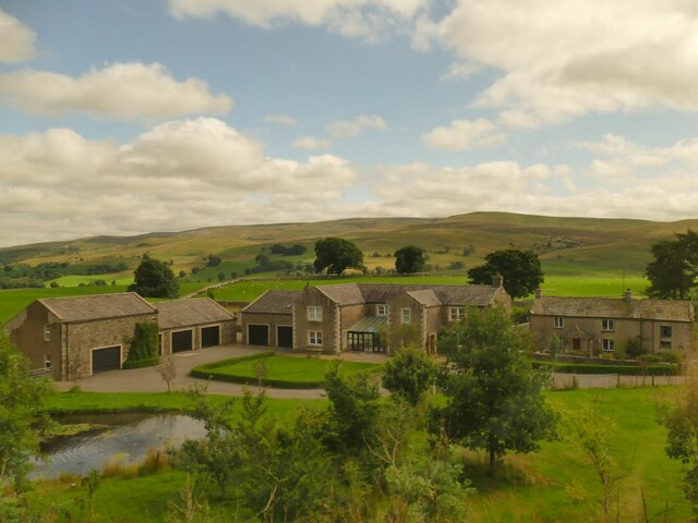
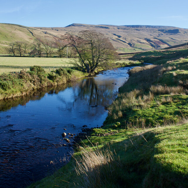
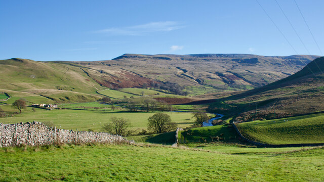
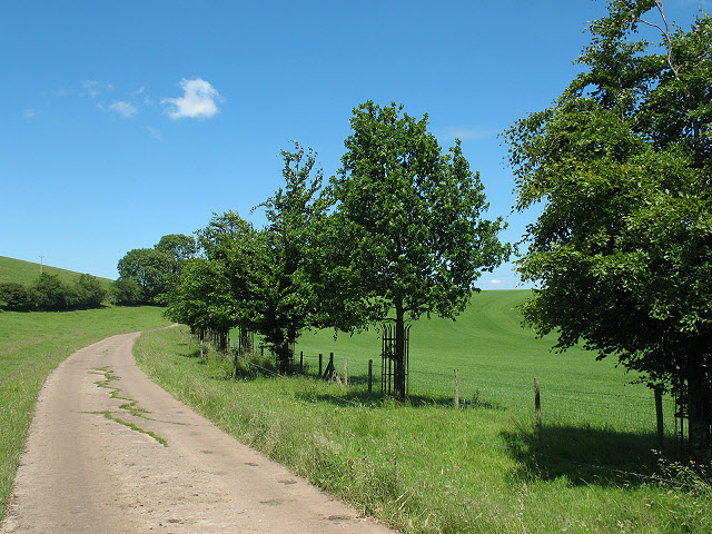
Blea Pots Wood is a stunning woodland located in Westmorland, a historic county in the northwest region of England. Nestled within the picturesque landscape of the Lake District National Park, this enchanting forest covers an area of approximately 20 hectares.
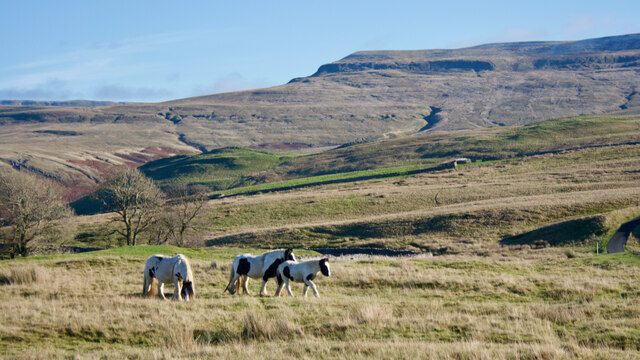
The woodland is characterized by its diverse range of tree species, including oak, birch, beech, and ash, which create a rich and vibrant canopy. The forest floor is adorned with a variety of flora, such as bluebells, wild garlic, and ferns, adding to the natural beauty of the area. The wood is also home to an array of wildlife, providing a habitat for species such as deer, squirrels, and a plethora of bird species.
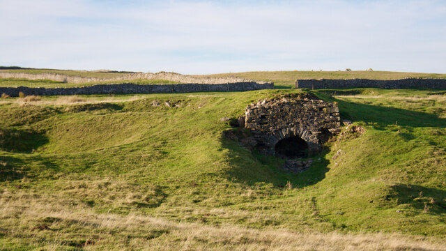
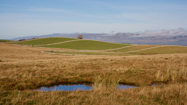
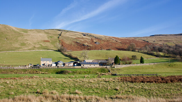
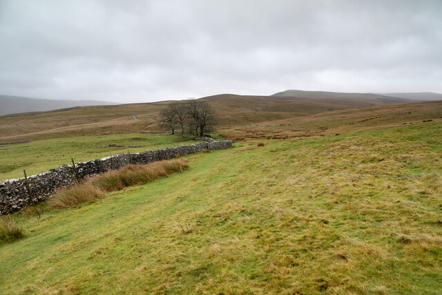
Visitors to Blea Pots Wood can enjoy peaceful walks along its well-maintained trails, immersing themselves in the tranquility of nature. The wood offers breathtaking views of the surrounding countryside, with glimpses of the nearby mountains and valleys. In the spring, the woodland is particularly captivating, as the forest floor is carpeted with vibrant bluebells, creating a magical and ethereal atmosphere.
The wood is easily accessible, with ample parking facilities nearby, and is a popular destination for nature enthusiasts, walkers, and photographers. It also provides an excellent opportunity for educational visits, as its diverse ecosystem offers a valuable learning experience.
Overall, Blea Pots Wood is a hidden gem within the Lake District National Park, offering a peaceful retreat and a chance to connect with nature in one of England's most stunning regions.
If you have any feedback on the listing, please let us know in the comments section below.
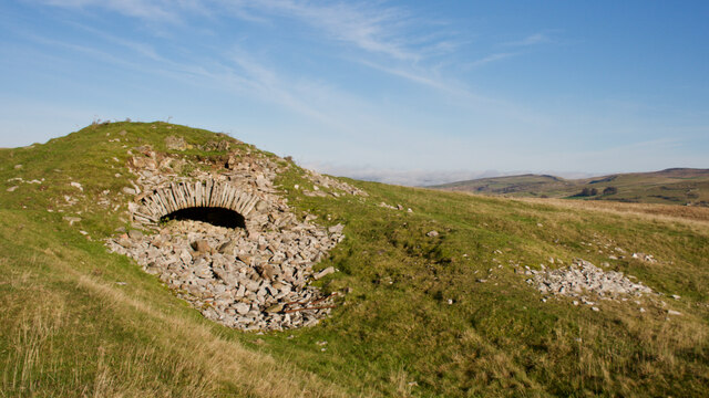
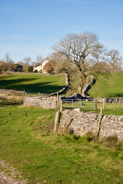
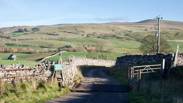
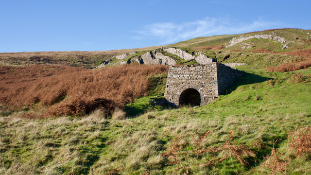
Blea Pots Wood Images
Images are sourced within 2km of 54.442763/-2.3489516 or Grid Reference NY7705. Thanks to Geograph Open Source API. All images are credited.


Blea Pots Wood is located at Grid Ref: NY7705 (Lat: 54.442763, Lng: -2.3489516)
Administrative County: Cumbria
District: Eden
Police Authority: Cumbria
What 3 Words
///sends.stretcher.stow. Near Kirkby Stephen, Cumbria
Nearby Locations
Related Wikis
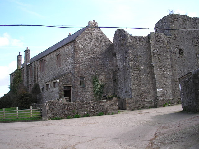
Wharton Hall
Wharton Hall in Wharton, Cumbria, England, is a medieval fortified manor house. == History == At the heart of Wharton Hall is a 15th-century hall, built...

Nateby, Cumbria
Nateby is a village and civil parish in the Eden district of Cumbria, England. The parish had a population of 110 in 2001, increasing to 120 at the 2011...
Wharton, Cumbria
Wharton is a civil parish near Kirkby Stephen in the Eden District of Cumbria, England, which, historically, was part of Westmorland. It has a population...
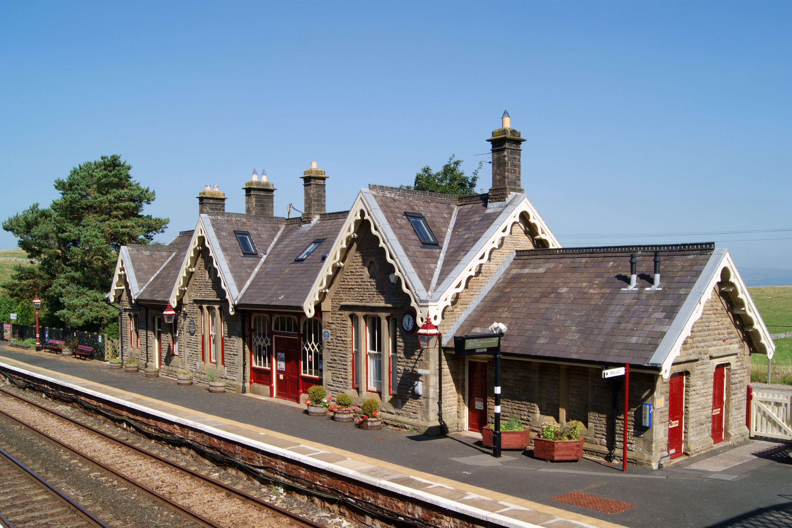
Kirkby Stephen railway station
Kirkby Stephen is a railway station in Eden in Cumbria, England, on the Settle and Carlisle Line, which runs between Carlisle and Leeds via Settle. The...

Devil's Grinding Mill
The Devil's Grinding Mill, sometimes known as the Devil's Hole, is part of The Angel's Drainpipe, a partially collapsed cave system on the River Eden in...

Kirkby Stephen East railway station
Kirkby Stephen East railway station was situated on the South Durham & Lancashire Union Railway (known as the Stainmore Line) between Barnard Castle and...

Pendragon Castle
Pendragon Castle is a ruin located in Mallerstang Dale, Cumbria, south of Kirkby Stephen, and close to the hamlet of Outhgill (at grid reference NY781025...

Hartley Castle
Hartley Castle was a castle near Kirkby Stephen, Cumbria, England. == History == The manor was confiscated circa 1315 from Roger de Clifford and granted...
Nearby Amenities
Located within 500m of 54.442763,-2.3489516Have you been to Blea Pots Wood?
Leave your review of Blea Pots Wood below (or comments, questions and feedback).