The Rough
Wood, Forest in Shropshire
England
The Rough

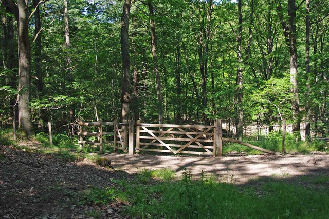
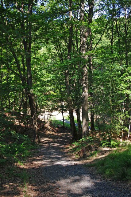
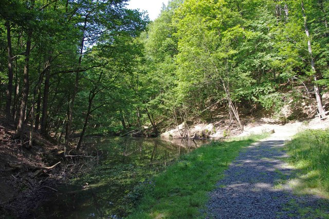
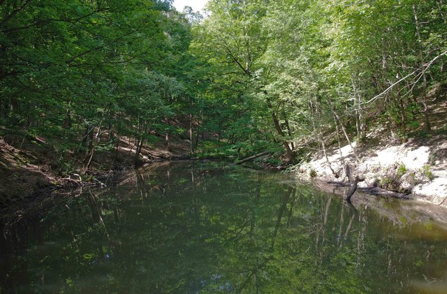
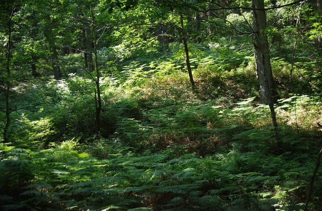
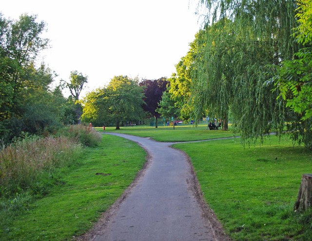
The Rough, Shropshire is a picturesque woodland area located in the county of Shropshire, England. Covering an extensive area of approximately 250 acres, it is renowned for its natural beauty and diverse ecosystem. The Rough is specifically known for its dense forest, comprising a variety of tree species including oak, beech, and birch.
The woodland is home to an array of wildlife, making it a popular destination for nature enthusiasts and birdwatchers. Visitors can spot a wide range of bird species, such as woodpeckers, owls, and various songbirds. The Rough also provides a habitat for mammals, including deer, foxes, and badgers, which can sometimes be spotted during early morning or late evening walks.
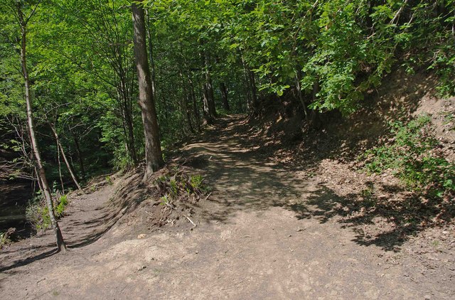
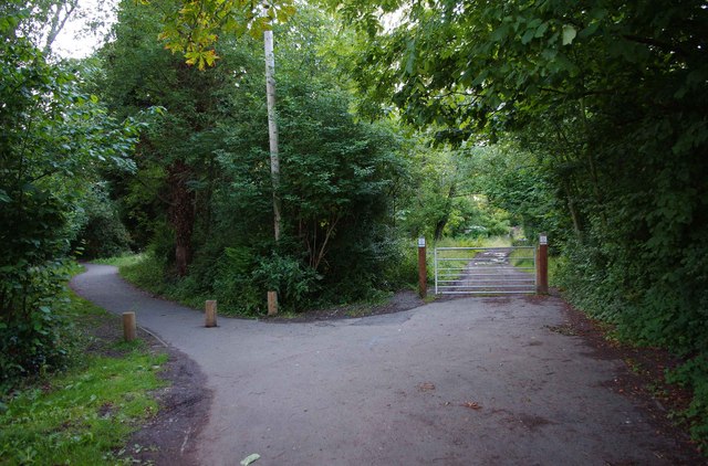
The forest is crisscrossed by a network of well-maintained walking trails, allowing visitors to explore its natural wonders on foot. These trails offer breathtaking views of the surrounding countryside and provide opportunities for peaceful and tranquil walks, away from the hustle and bustle of urban life.
Moreover, The Rough offers recreational activities such as picnicking, camping, and nature photography. Its serene atmosphere and beautiful scenery make it an idyllic spot for those seeking a break from the stresses of everyday life.
Managed by the local authorities, The Rough, Shropshire is a cherished natural gem in the region. It serves as a sanctuary for both flora and fauna, allowing visitors to connect with nature and appreciate the beauty of the British countryside.
If you have any feedback on the listing, please let us know in the comments section below.
The Rough Images
Images are sourced within 2km of 52.388215/-2.340097 or Grid Reference SO7676. Thanks to Geograph Open Source API. All images are credited.
The Rough is located at Grid Ref: SO7676 (Lat: 52.388215, Lng: -2.340097)
Unitary Authority: Shropshire
Police Authority: West Mercia
What 3 Words
///crossing.fails.starlight. Near Bewdley, Worcestershire
Nearby Locations
Related Wikis

Dowles
Dowles is a hamlet in the civil parish of Upper Arley, in the Wyre Forest district, in the county of Worcestershire, England. It is about 3 miles from...

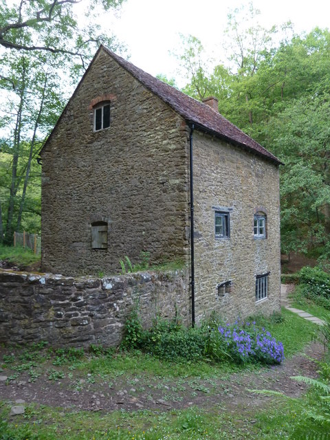
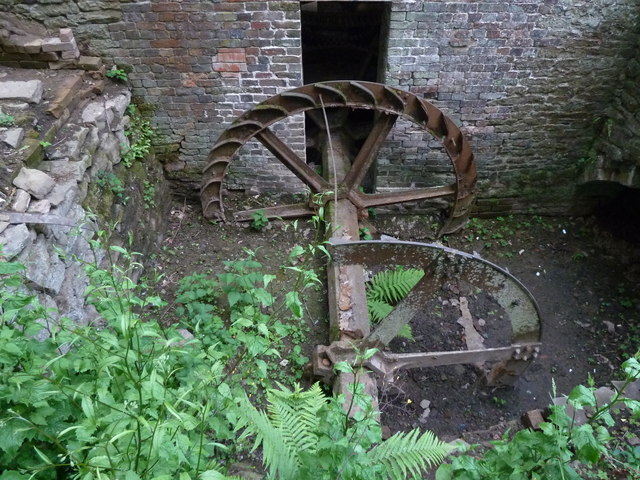
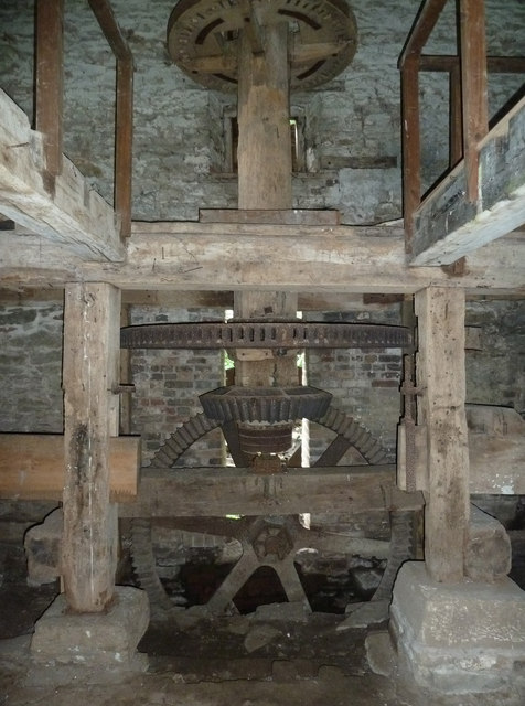
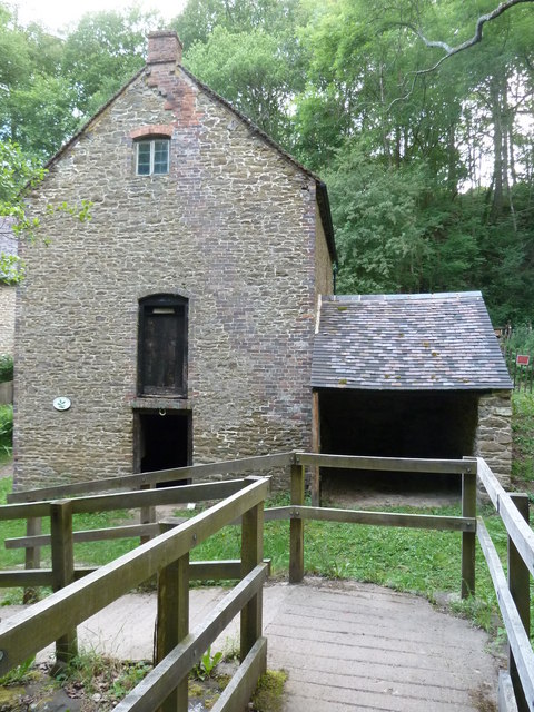
Knowles Mill
Knowles Mill is the remains of an eighteenth-century water-powered grain mill, located in the Wyre Forest in Worcestershire, England. The mill has been...

Dowles Brook
Dowles Brook flows through the heart of the Wyre Forest, into the former civil parish of Dowles and into the River Severn. == History == In 1902, ornithologist...

Northwood Halt railway station
Northwood Halt is an unstaffed request stop on the Severn Valley Railway in Worcestershire, situated a little to the north of Bewdley on the outskirts...

Wyre Forest
Wyre Forest is a large, semi-natural (partially unmanaged) woodland and forest measuring 26.34 square kilometres (10.17 sq mi) which straddles the borders...

Button Oak
Button Oak is a small village in the English county of Shropshire, England. It is 3 miles north west of Bewdley. Button Oak is very similar to nearby...
Bewdley Rowing Club
Bewdley Rowing Club is a rowing club on the River Severn, based at Riverside North, Wribbenhall, Bewdley, Wyre Forest District, West Midlands. == Club... ==

Bewdley Museum
Bewdley Museum is a museum in the town of Bewdley in Worcestershire, England. It is managed by the Wyre Forest District Council. == History == The Bewdley...
Nearby Amenities
Located within 500m of 52.388215,-2.340097Have you been to The Rough?
Leave your review of The Rough below (or comments, questions and feedback).