Woodcock Corner

Wood, Forest in Shropshire

England

Woodcock Corner

Nanny Murphy's Lane junction
Nanny Murphy's Lane junction Credit: Peter Whatley

Woodcock Corner is a picturesque village located in the county of Shropshire, England. Situated in the heart of the beautiful Shropshire Hills, this charming village is surrounded by dense woodlands and lush forests, making it an idyllic retreat for nature enthusiasts and those seeking tranquility.

The village is named after the woodcock, a bird species that inhabits the area, and it is famous for its abundance of woodcock sightings during certain times of the year. Woodcock Corner is a haven for birdwatchers and attracts visitors from all over the country who come to catch a glimpse of these elusive creatures.

The village itself is small but full of character, with quaint cottages and buildings made from the local sandstone, giving it a traditional and rustic feel. The community in Woodcock Corner is tight-knit and welcoming, creating a warm and friendly atmosphere for both residents and visitors.

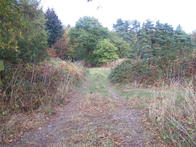
Surrounding the village, the woodlands and forests provide ample opportunities for outdoor activities such as hiking, cycling, and wildlife spotting. The enchanting greenery is home to a diverse range of flora and fauna, including rare plant species and a variety of woodland animals.

In addition to its natural beauty, Woodcock Corner boasts a rich history, with several historical landmarks and sites of interest. The village church, St. Mary's, dates back to the 12th century and is a fine example of medieval architecture.

Overall, Woodcock Corner is a hidden gem in Shropshire, offering a peaceful and scenic escape for those who appreciate the beauty of nature and a sense of history.

If you have any feedback on the listing, please let us know in the comments section below.

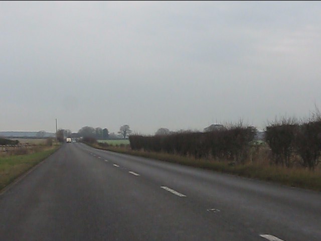
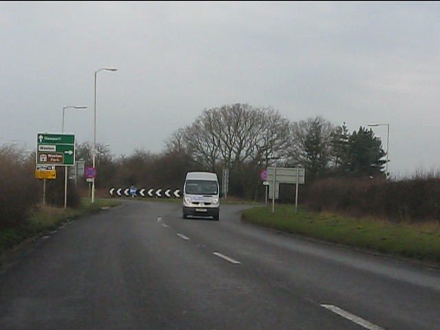
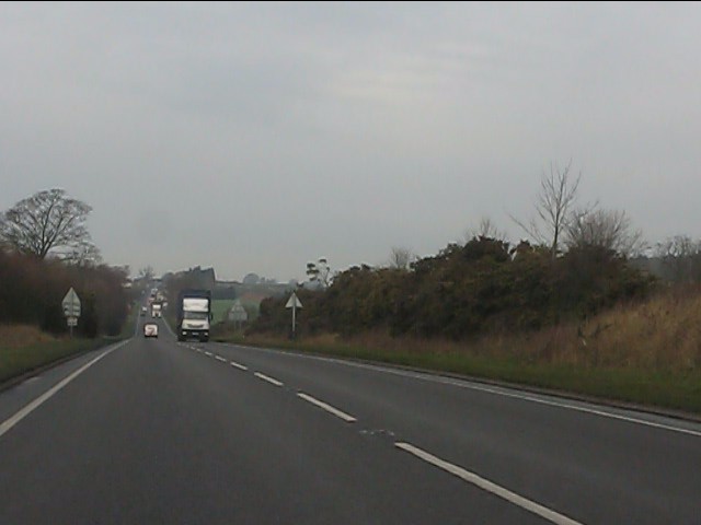
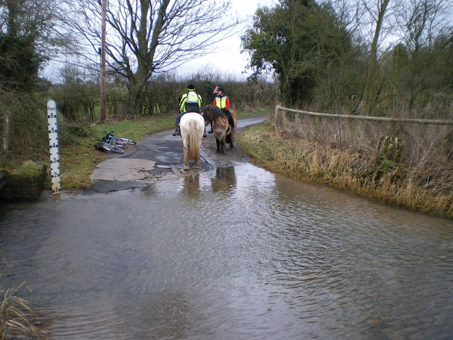
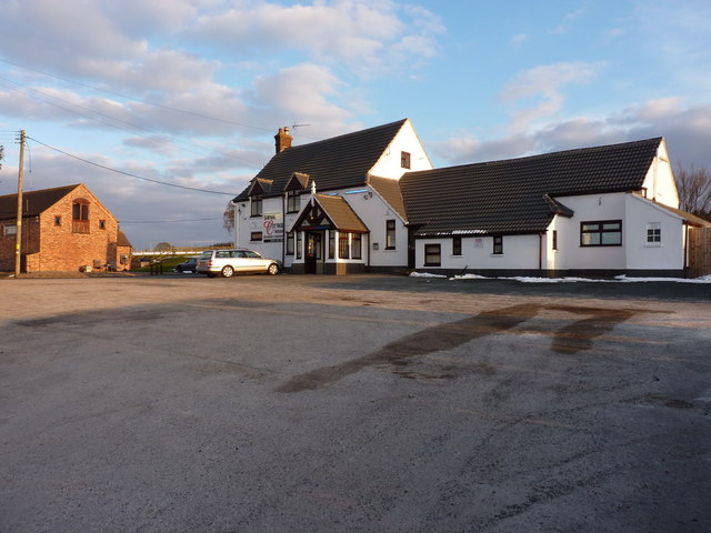
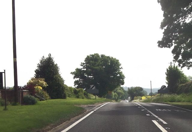
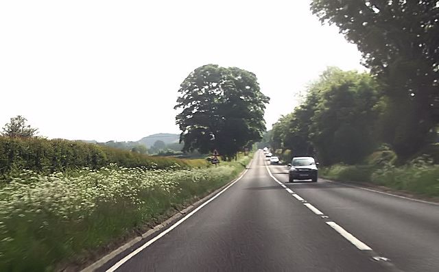
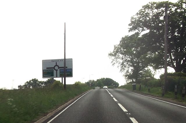
Woodcock Corner Images

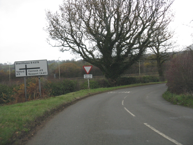
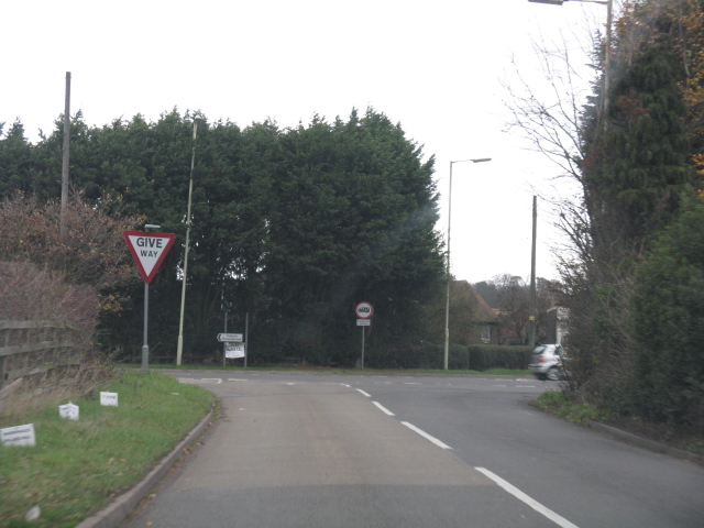
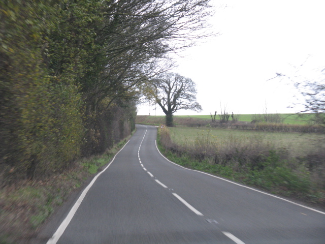
Images are sourced within 2km of 52.686736/-2.3424725 or Grid Reference SJ7609. Thanks to Geograph Open Source API. All images are credited.

Nanny Murphy's Lane junction
B4379 nears the A5 junction
Watling Street (A5) crosses the B4379 at Crackleybank
B4379 near Crackleybank Lodge
Footpath Near Woodcock Corner
A41 - dead straight at Lizard Grange
A41 meets the A5 Major highways of the pre-motorway age cross at the county boundary between Shropshire and Staffordshire.
A41 meets the A5
Major highways of the pre-motorway age cross at the county boundary between Shropshire and Staffordshire.
The A41 flirts with the county boundary According to the OS maps, the county boundary follows the original course of the A41 so the improved route flits across the Shropshire/Staffordshire line between the A5 and Gorsey Bank.
The A41 flirts with the county boundary
According to the OS maps, the county boundary follows the original course of the A41 so the improved route flits across the Shropshire/Staffordshire line between the A5 and Gorsey Bank.
A picture of reluctance Two cob ponies approached the ford from the north; the white one could be cajoled through the water with a bit of persuasion, the brown one was having none of that nonsense. The riders abandoned their original plan, turned round, and went for a ride in the fields to the north of here.
A picture of reluctance
Two cob ponies approached the ford from the north; the white one could be cajoled through the water with a bit of persuasion, the brown one was having none of that nonsense. The riders abandoned their original plan, turned round, and went for a ride in the fields to the north of here.
The Shifnal Cottage Indian Restaurant No longer the <a href="https://www.geograph.org.uk/photo/1312753">SJ7610 : Hare & Hounds</a> pub, for many years a landmark on the original A5 Watling Street; this has now been re-opened as a restaurant & takeaway.
The Shifnal Cottage Indian Restaurant
No longer the SJ7610 : Hare & Hounds pub, for many years a landmark on the original A5 Watling Street; this has now been re-opened as a restaurant & takeaway.
A5 at Yew Tree Farm
A5 at Yew Tree Farm
A5 approaching Burlington Farm entrance
A5 at Burlington Farm
A41 roundabout from A5
A5 (Watling Street) entering Crackleybank The straight road has a 50mph sign, followed by a "reduce speed now" sign.  In the distance is the sign for the Hare and Hounds inn <a href="https://www.geograph.org.uk/photo/1312753">SJ7610 : Hare & Hounds</a>
A5 (Watling Street) entering Crackleybank
The straight road has a 50mph sign, followed by a "reduce speed now" sign. In the distance is the sign for the Hare and Hounds inn SJ7610 : Hare & Hounds
Derelict buildings west of Lizard Hill It's not clear what these were - they have quite large door apertures, like a barn, but don't appear to be directly associated with any farm nearby. The older maps mark the area as a 'Training Ground', and the current 1:25000 puts it between 'Middle Gallops' and 'Upper Gallops' so there's presumably a horse-racing heritage here, and these were stables or similar. An OS benchmark is logged as having been cut into the face of this one, but I suspect that particular bit of wall may have fallen right down now; there was no sign of it.
Derelict buildings west of Lizard Hill
It's not clear what these were - they have quite large door apertures, like a barn, but don't appear to be directly associated with any farm nearby. The older maps mark the area as a 'Training Ground', and the current 1:25000 puts it between 'Middle Gallops' and 'Upper Gallops' so there's presumably a horse-racing heritage here, and these were stables or similar. An OS benchmark is logged as having been cut into the face of this one, but I suspect that particular bit of wall may have fallen right down now; there was no sign of it.
OS benchmark - no 4 Nanny Murphy's Lane An OS cutmark in the brickwork of house no 4 on the lane, originally levelled at 124.52m above Ordnance Datum Newlyn.
OS benchmark - no 4 Nanny Murphy's Lane
An OS cutmark in the brickwork of house no 4 on the lane, originally levelled at 124.52m above Ordnance Datum Newlyn.
OS rivet at Crackleybank A brass OS rivet in the concrete pad in front of a GPO (nowadays BT) box on the SE side of the Crackleybank crossroads. Situated just at the bottom-left corner of my Garmin, it took some finding, as the pad had several inches of vegetation and accumulated muck on top of it. Originally levelled at 113.38m above Ordnance Datum Newlyn.
OS rivets are a variation on the conventional cutmarks or benchmarks, but served much the same purpose.
OS rivet at Crackleybank
A brass OS rivet in the concrete pad in front of a GPO (nowadays BT) box on the SE side of the Crackleybank crossroads. Situated just at the bottom-left corner of my Garmin, it took some finding, as the pad had several inches of vegetation and accumulated muck on top of it. Originally levelled at 113.38m above Ordnance Datum Newlyn. OS rivets are a variation on the conventional cutmarks or benchmarks, but served much the same purpose.
Show me another place!

Woodcock Corner is located at Grid Ref: SJ7609 (Lat: 52.686736, Lng: -2.3424725)

Unitary Authority: Shropshire

Police Authority: West Mercia

What 3 Words

///folk.speeded.castle. Near Shifnal, Shropshire

Related Wikis

Shifnal Town F.C.

Shifnal Town Football Club is a football club based in Shifnal, Shropshire, England. They have reached the 4th round of the FA Vase three times in their...

Idsall School

Idsall School is a coeducational secondary school with academy status located in the town of Shifnal in Shropshire, England. Idsall has its own Sixth Form...

Sheriffhales

Sheriffhales is a scattered village in Shropshire, England, 4 miles (6.4 km) north-east of Telford, 3 miles (4.8 km) north of Shifnal and 4 miles (6.4...

Shifnal railway station

Shifnal railway station is a railway station which serves the town of Shifnal in Shropshire, England. The station is managed by West Midlands Trains, who...

Nearby Amenities

Located within 500m of 52.686736,-2.3424725
Give Way
Direction: forward
Lat/Long: 52.6870758/-2.3417074
The data included in this document is from www.openstreetmap.org. The data is made available under ODbL.

Have you been to Woodcock Corner?

Leave your review of Woodcock Corner below (or comments, questions and feedback).