Chamberline Wood
Wood, Forest in Shropshire
England
Chamberline Wood
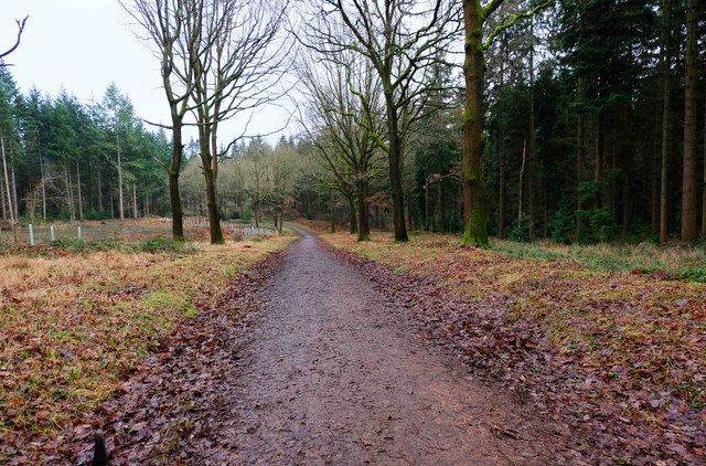
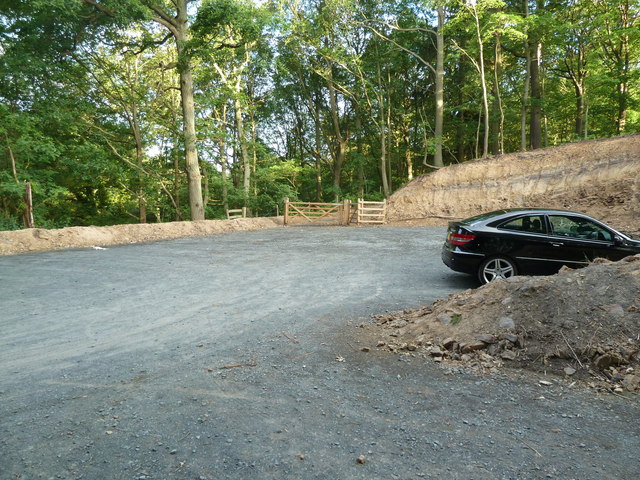
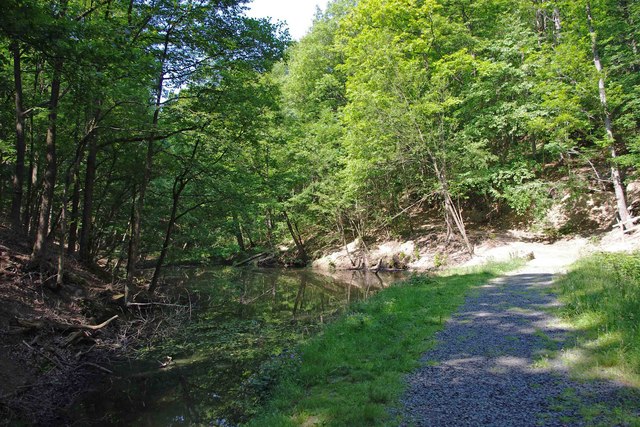
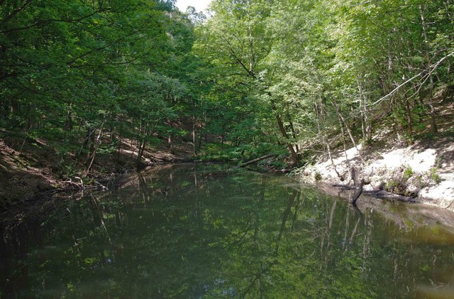
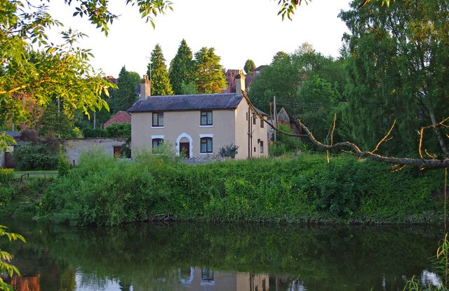
Chamberline Wood is a picturesque forest located in Shropshire, England. Covering an area of approximately 100 acres, it is known for its lush greenery, diverse range of flora and fauna, and tranquil atmosphere. The wood is situated in a rural setting, surrounded by rolling hills and meadows, providing a perfect escape from the bustling city life.
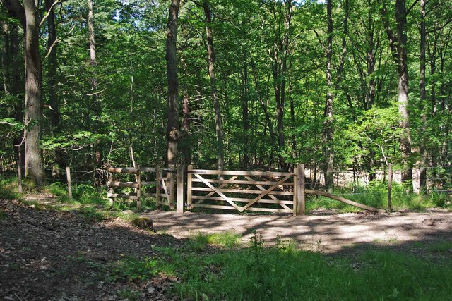
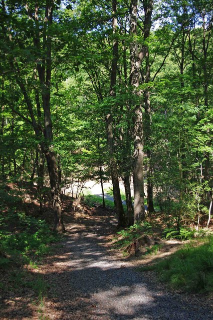
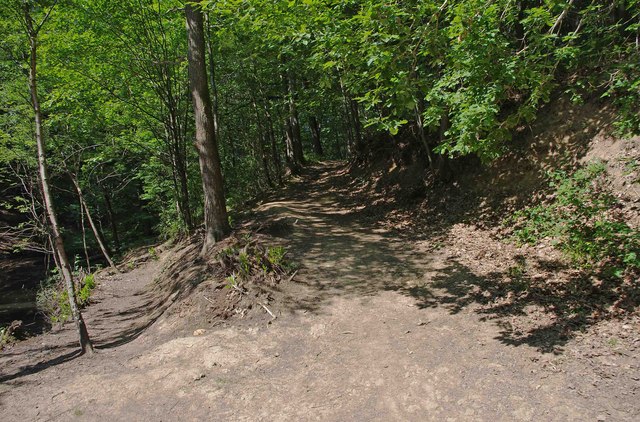
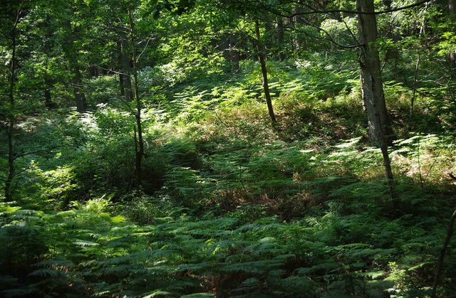
The forest is comprised of a variety of tree species, including oak, beech, ash, and birch, creating a vibrant and colorful landscape throughout the seasons. Visitors can enjoy leisurely walks along the well-maintained trails, immersing themselves in the natural beauty that surrounds them. The wood is also home to a rich assortment of wildlife, such as deer, badgers, foxes, and a wide array of bird species, making it a popular spot for nature enthusiasts and birdwatchers.
Chamberline Wood offers a range of amenities to enhance the visitor experience. There are picnic areas dotted around the forest, providing a peaceful spot for families and friends to enjoy a meal amidst nature. The wood also features a visitor center, where visitors can obtain information about the forest, its history, and the various activities available.
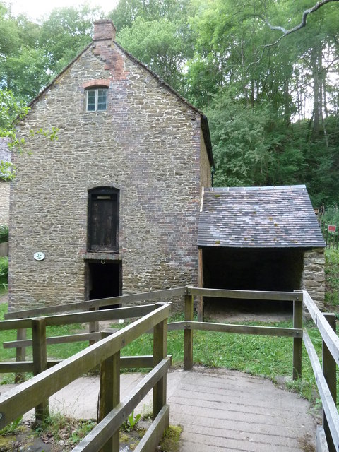
In addition to its natural beauty, Chamberline Wood has historical significance. It is believed to have been used as a hunting ground by nobility in medieval times. Today, remnants of old structures, such as the remains of a hunting lodge, can still be found within the wood, adding to its charm and allure.
Overall, Chamberline Wood is a haven for those seeking tranquility and a connection with nature. With its stunning landscapes, diverse wildlife, and historical significance, it offers a delightful experience for all who visit.
If you have any feedback on the listing, please let us know in the comments section below.
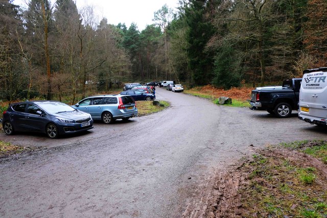
Chamberline Wood Images
Images are sourced within 2km of 52.388103/-2.3414186 or Grid Reference SO7676. Thanks to Geograph Open Source API. All images are credited.

Chamberline Wood is located at Grid Ref: SO7676 (Lat: 52.388103, Lng: -2.3414186)
Unitary Authority: Shropshire
Police Authority: West Mercia
What 3 Words
///scrubber.screening.roofs. Near Bewdley, Worcestershire
Nearby Locations
Related Wikis

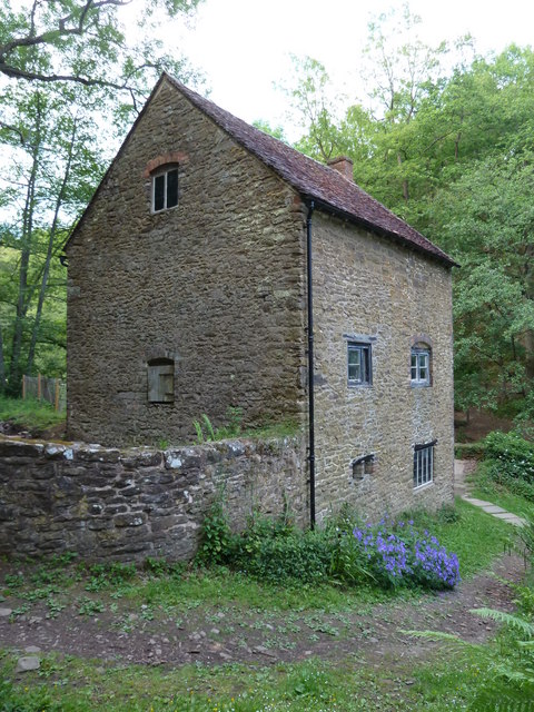
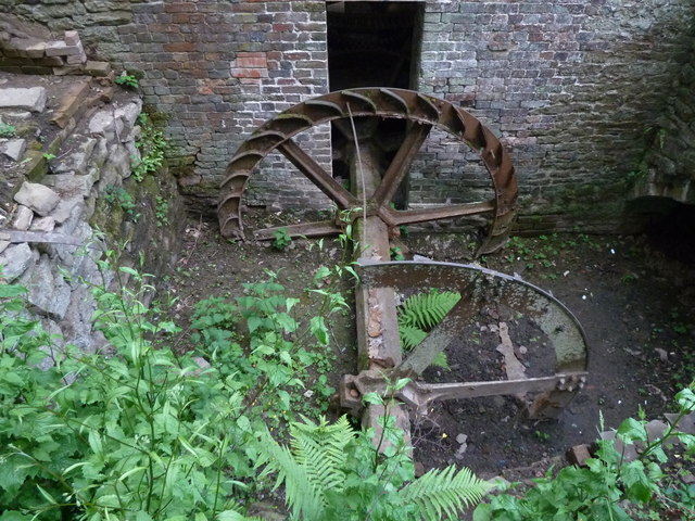
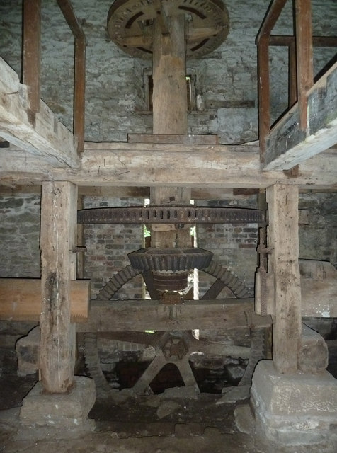
Knowles Mill
Knowles Mill is the remains of an eighteenth-century water-powered grain mill, located in the Wyre Forest in Worcestershire, England. The mill has been...

Dowles
Dowles is a hamlet in the civil parish of Upper Arley, in the Wyre Forest district, in the county of Worcestershire, England. It is about 3 miles from...

Northwood Halt railway station
Northwood Halt is an unstaffed request stop on the Severn Valley Railway in Worcestershire, situated a little to the north of Bewdley on the outskirts...

Dowles Brook
Dowles Brook flows through the heart of the Wyre Forest, into the former civil parish of Dowles and into the River Severn. == History == In 1902, ornithologist...

Wyre Forest
Wyre Forest is a large, semi-natural (partially unmanaged) woodland and forest measuring 26.34 square kilometres (10.17 sq mi) which straddles the borders...

Button Oak
Button Oak is a small village in the English county of Shropshire, England. It is 3 miles north west of Bewdley. Button Oak is very similar to nearby...
Bewdley Rowing Club
Bewdley Rowing Club is a rowing club on the River Severn, based at Riverside North, Wribbenhall, Bewdley, Wyre Forest District, West Midlands. == Club... ==

Pound Green
Pound Green is a hamlet in Upper Arley, Worcestershire, England. It has a number of tourist landmarks such as Ye Olde New Inn and a village hall that also...
Nearby Amenities
Located within 500m of 52.388103,-2.3414186Have you been to Chamberline Wood?
Leave your review of Chamberline Wood below (or comments, questions and feedback).