Holder's Wood
Wood, Forest in Gloucestershire Forest of Dean
England
Holder's Wood
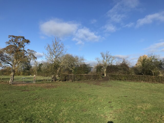
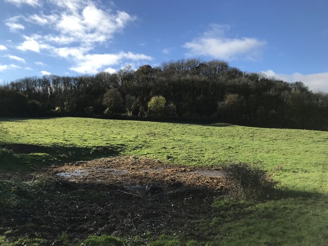
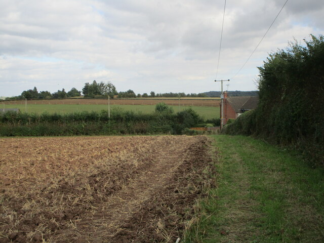
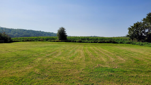
Holder's Wood is a picturesque woodland located in Gloucestershire, England. Covering an area of approximately 100 acres, it is classified as a mixed broadleaf forest, boasting a diverse range of tree species including oak, beech, ash, and birch. The wood is nestled within the enchanting Wye Valley, offering visitors a tranquil and serene escape from the hustle and bustle of everyday life.
Holder's Wood is renowned for its stunning natural beauty and is a popular destination for nature enthusiasts, walkers, and wildlife lovers alike. The wood is crisscrossed by a network of well-maintained footpaths, allowing visitors to explore its various nooks and crannies, and discover hidden gems such as babbling brooks and secluded glades.
Wildlife thrives in Holder's Wood, with an abundance of bird species, including woodpeckers, owls, and warblers, making it an ideal spot for birdwatching. The forest floor is home to an array of flora and fauna, with bluebells, primroses, and wild garlic carpeting the ground in spring.
The management of Holder's Wood is committed to preserving its natural beauty and biodiversity. Various conservation measures, such as sustainable timber harvesting, have been implemented to ensure the longevity and health of the woodland ecosystem.
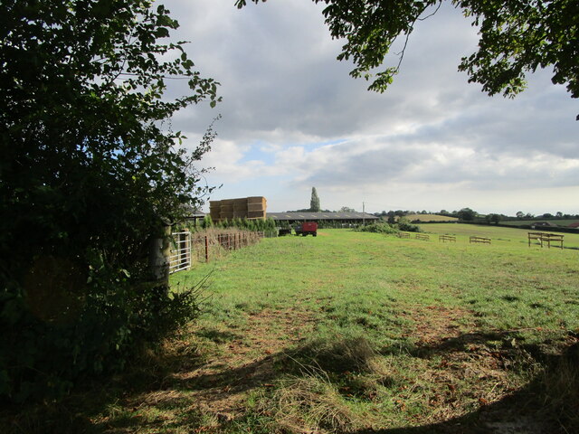
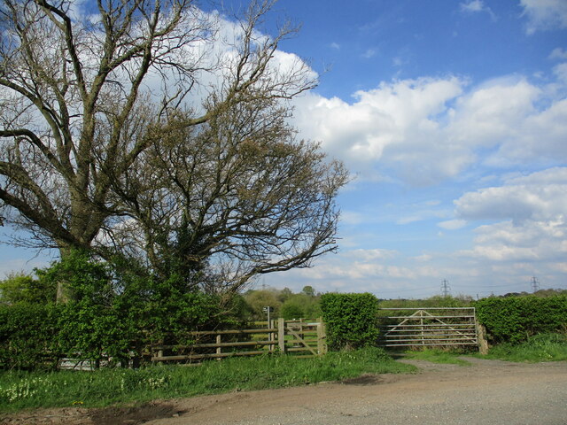
Holder's Wood is easily accessible, with a car park available for visitors. It offers a peaceful retreat for those seeking solitude in nature or a family-friendly day out exploring the wonders of the forest. With its stunning scenery, diverse wildlife, and commitment to conservation, Holder's Wood is a true gem in the Gloucestershire countryside.
If you have any feedback on the listing, please let us know in the comments section below.
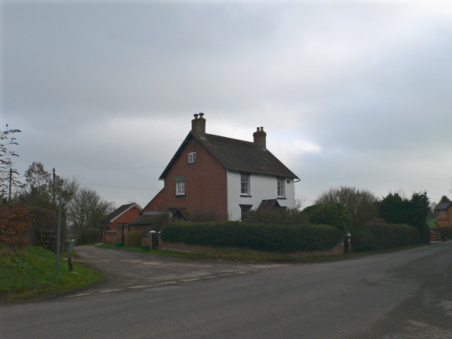
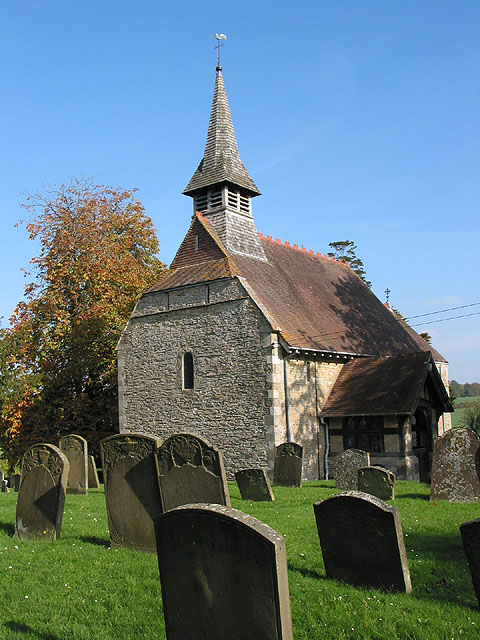
Holder's Wood Images
Images are sourced within 2km of 51.880626/-2.3374854 or Grid Reference SO7620. Thanks to Geograph Open Source API. All images are credited.


Holder's Wood is located at Grid Ref: SO7620 (Lat: 51.880626, Lng: -2.3374854)
Administrative County: Gloucestershire
District: Forest of Dean
Police Authority: Gloucestershire
What 3 Words
///archduke.upgrading.martini. Near Huntley, Gloucestershire
Nearby Locations
Related Wikis
Bulley
Bulley is a village and former civil parish, now in the parish of Churcham, in the Forest of Dean district, in Gloucestershire, almost 7 miles (11 km)...

Highnam Woods
Highnam Wood is a nature reserve located in Gloucestershire and established by the RSPB to protect bird species in the region. A two-kilometre nature...

School of the Lion
The School of the Lion was an independent school based in Churcham, Gloucestershire. The school was founded in by 1987 by a group of Gloucestershire-based...

Tibberton, Gloucestershire
Tibberton is located 5 miles (8.0 km) from Gloucester and 5 miles from Newent. The current population of Tibberton as recorded in the 2021 census was 590...

Rudford
Rudford is a village and former civil parish, now in the parish of Rudford and Highleadon, in the Forest of Dean district, in the county of Gloucestershire...

Churcham
Churcham is a small village and civil parish in the Forest of Dean District of Gloucestershire in England, located 4 miles (6.4 km) west of Gloucester...

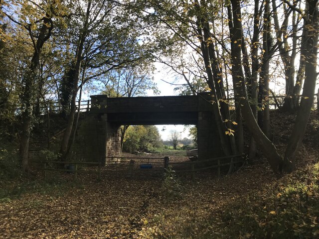
Barbers Bridge railway station
Barbers Bridge railway station was on the Ledbury and Gloucester Railway in Gloucestershire, England. It was opened on 27 July 1885 and it closed to passengers...
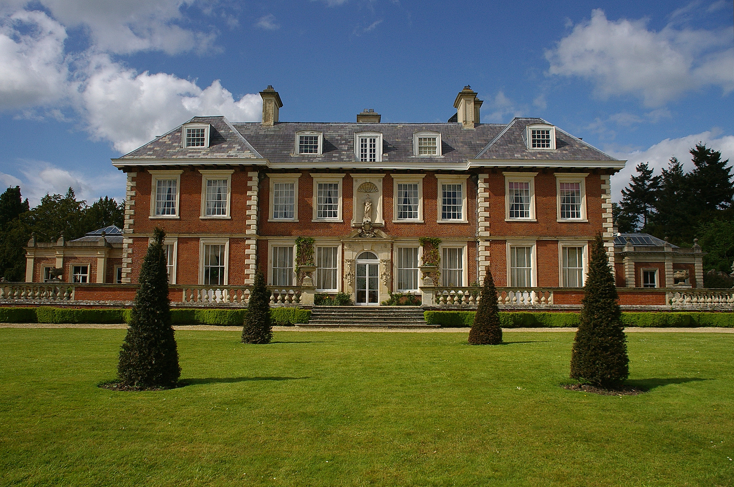
Highnam Court
Highnam Court is a Grade I listed country house in Highnam, Gloucestershire, England, constructed in the 17th century. The estate passed from the Cooke...
Nearby Amenities
Located within 500m of 51.880626,-2.3374854Have you been to Holder's Wood?
Leave your review of Holder's Wood below (or comments, questions and feedback).