Demesne Wood
Wood, Forest in Gloucestershire Forest of Dean
England
Demesne Wood
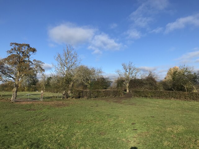
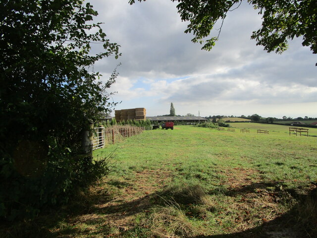
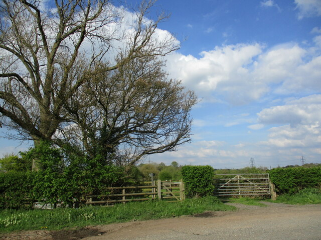
Demesne Wood is a picturesque woodland located in Gloucestershire, England. Covering an area of approximately 100 acres, this forest is known for its natural beauty and diverse ecosystem. It is situated within the larger Forest of Dean, a renowned ancient woodland that spans across 42 square miles.
Demesne Wood is characterized by its dense canopy of mature trees, including oak, beech, and ash. These towering giants provide a habitat for a wide range of wildlife, such as deer, foxes, badgers, and numerous bird species. The forest floor is adorned with a carpet of ferns, bluebells, and wildflowers, creating a vibrant and enchanting atmosphere.
The wood is intersected by several walking trails, allowing visitors to explore its serene surroundings. These paths wind through the woodland, offering glimpses of babbling brooks, small ponds, and hidden clearings. The peaceful ambiance makes it an ideal destination for nature enthusiasts, hikers, and photographers.
Demesne Wood also holds historical significance, as it was once part of a medieval deer park belonging to the nearby estate. The remnants of an ancient boundary wall can still be seen, adding to the charm and sense of history of the area.
Overall, Demesne Wood in Gloucestershire is a captivating forest that showcases the natural beauty and biodiversity of the region. Its tranquil atmosphere, diverse flora and fauna, and historical features make it a must-visit destination for those seeking a peaceful escape into nature.
If you have any feedback on the listing, please let us know in the comments section below.
Demesne Wood Images
Images are sourced within 2km of 51.881127/-2.341339 or Grid Reference SO7620. Thanks to Geograph Open Source API. All images are credited.


Demesne Wood is located at Grid Ref: SO7620 (Lat: 51.881127, Lng: -2.341339)
Administrative County: Gloucestershire
District: Forest of Dean
Police Authority: Gloucestershire
What 3 Words
///innocence.crowns.senior. Near Huntley, Gloucestershire
Nearby Locations
Related Wikis
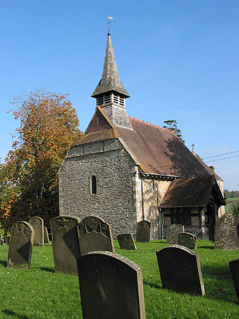
Bulley
Bulley is a village and former civil parish, now in the parish of Churcham, in the Forest of Dean district, in Gloucestershire, almost 7 miles (11 km)...

Highnam Woods
Highnam Wood is a nature reserve located in Gloucestershire and established by the RSPB to protect bird species in the region. A two-kilometre nature...

Tibberton, Gloucestershire
Tibberton is located 5 miles (8.0 km) from Gloucester and 5 miles from Newent. The current population of Tibberton as recorded in the 2021 census was 590...

School of the Lion
The School of the Lion was an independent school based in Churcham, Gloucestershire. The school was founded in by 1987 by a group of Gloucestershire-based...

Rudford
Rudford is a village and former civil parish, now in the parish of Rudford and Highleadon, in the Forest of Dean district, in the county of Gloucestershire...

Churcham
Churcham is a small village and civil parish in the Forest of Dean District of Gloucestershire in England, located 4 miles (6.4 km) west of Gloucester...

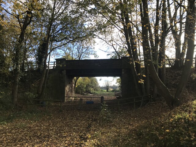
Barbers Bridge railway station
Barbers Bridge railway station was on the Ledbury and Gloucester Railway in Gloucestershire, England. It was opened on 27 July 1885 and it closed to passengers...
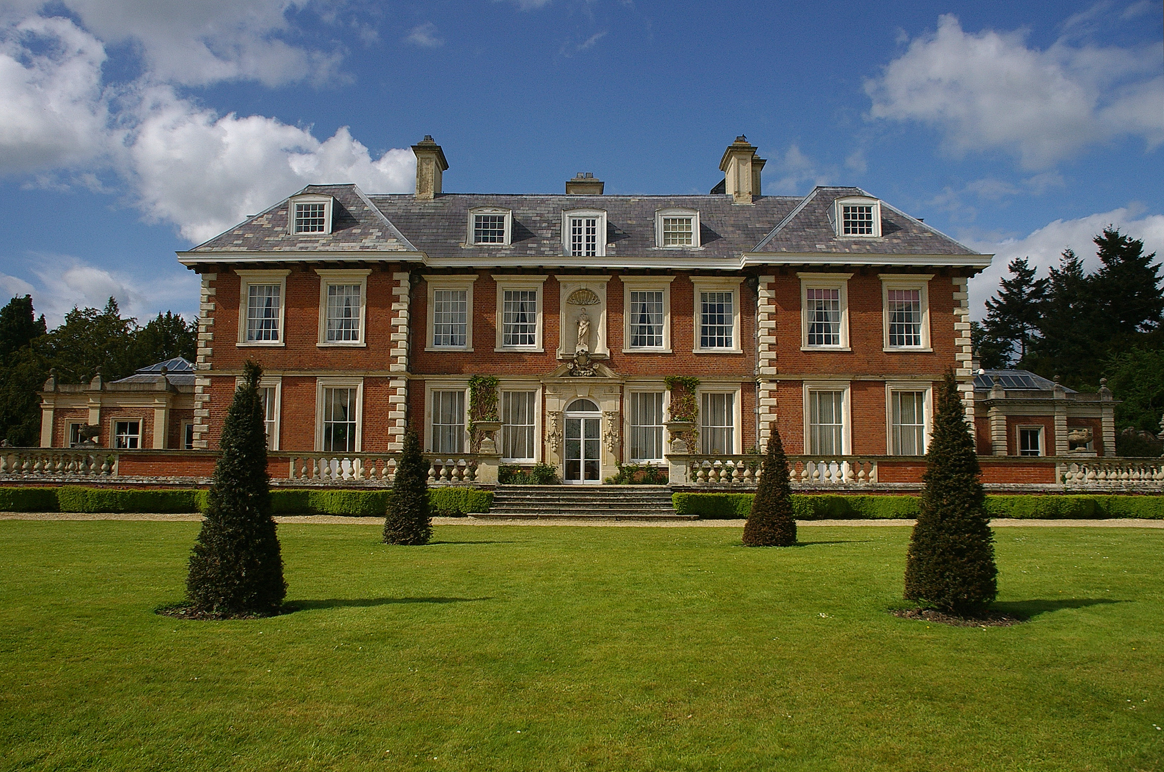
Highnam Court
Highnam Court is a Grade I listed country house in Highnam, Gloucestershire, England, constructed in the 17th century. The estate passed from the Cooke...
Nearby Amenities
Located within 500m of 51.881127,-2.341339Have you been to Demesne Wood?
Leave your review of Demesne Wood below (or comments, questions and feedback).