Shailes Copse

Wood, Forest in Dorset

England

Shailes Copse

A354 turning to Langham wine estate
A354 turning to Langham wine estate Credit: Paul Barnett

Shailes Copse is a picturesque woodland located in the county of Dorset, England. Situated in the heart of the county, this ancient forest covers an area of approximately 100 acres. It is renowned for its natural beauty and diverse ecosystem, making it a popular destination for nature enthusiasts and hikers alike.

The copse is predominantly composed of native broadleaf trees, including oak, beech, and ash. These majestic trees create a dense canopy that allows only dappled sunlight to filter through, giving the woodland a mystical ambiance. The forest floor is covered with a rich carpet of ferns, moss, and wildflowers, creating a vibrant tapestry of colors.

Shailes Copse is home to a wide variety of wildlife, ranging from small mammals like squirrels and rabbits to larger creatures such as deer and foxes. Birdwatchers will be delighted to spot numerous species of woodland birds, including woodpeckers, tits, and thrushes. The copse also supports a diverse range of insects, butterflies, and beetles.

The forest is crisscrossed with a network of well-maintained trails, providing visitors with the opportunity to explore its beauty. These paths wind through the woodland, offering stunning views of the surrounding countryside. There are also picnic areas and benches scattered throughout the copse, allowing visitors to rest and soak in the tranquil atmosphere.

Shailes Copse is a valuable natural asset to the Dorset region, providing a peaceful haven for both wildlife and humans alike. Its untouched beauty and serene atmosphere make it a must-visit destination for anyone seeking to connect with nature.

If you have any feedback on the listing, please let us know in the comments section below.

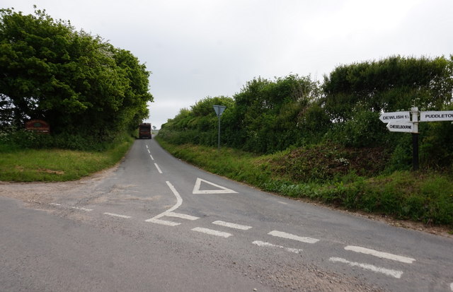
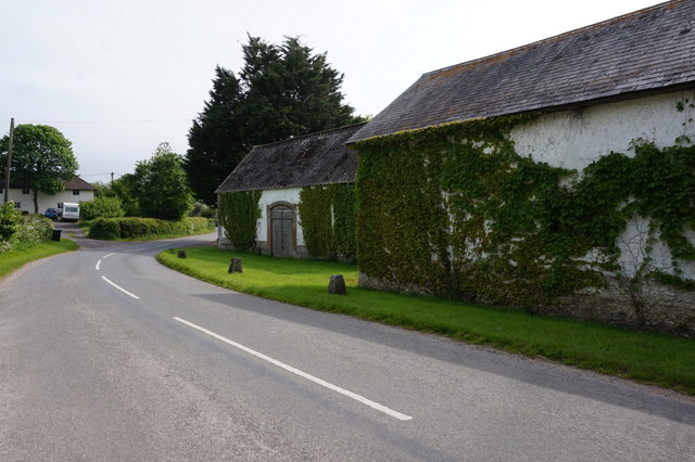
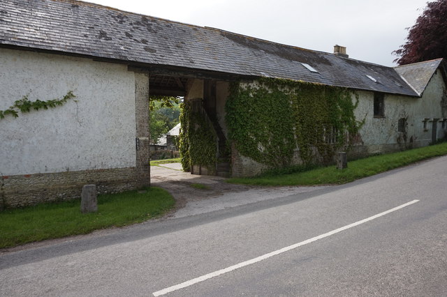
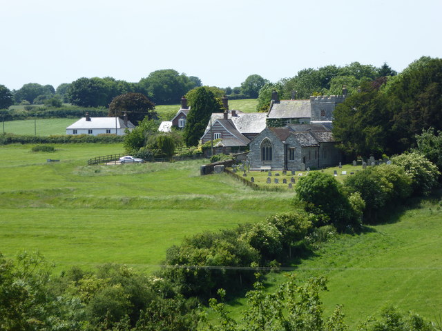
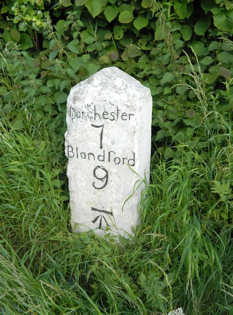
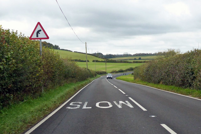
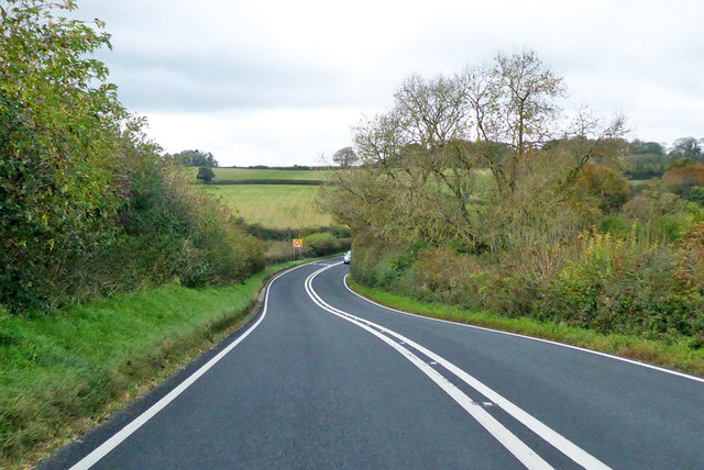
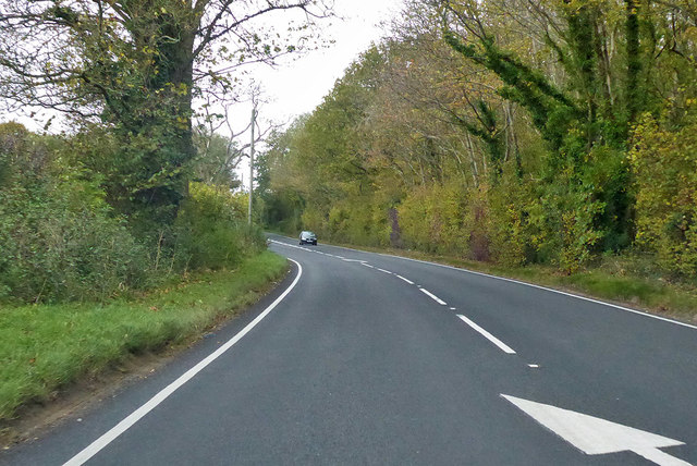
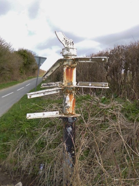
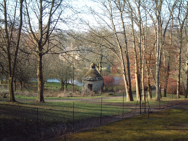
Shailes Copse Images

Images are sourced within 2km of 50.777421/-2.3332069 or Grid Reference SY7697. Thanks to Geograph Open Source API. All images are credited.

A354 turning to Langham wine estate
Road junction near Warren Hill Farm
Warren Hill at Chebbard Farm
Chebbard Farm
Chebbard Farm
Road entering Cheselbourne
The former Rivers Arms, Cheselbourne
Dewlish Church and surrounds
Old Milestone by the A354, north east of Puddletown Carved stone post by the A354, in parish of DEWLISH (WEST DORSET District), 500m West of Milborne Wood farm, uphill from turn to Crawthorne farm, on rough verge against hedge, on South side of road. Dorset 1 (limestone), erected by the Harnham, Blandford & Dorchester turnpike trust in the 19th century. 

Inscription reads:
Dorchester
7
Blandford
9  
Carved benchmark bottom centre of front face.

Milestone Society National ID: DO_DOBF07.
Old Milestone by the A354, north east of Puddletown
Carved stone post by the A354, in parish of DEWLISH (WEST DORSET District), 500m West of Milborne Wood farm, uphill from turn to Crawthorne farm, on rough verge against hedge, on South side of road. Dorset 1 (limestone), erected by the Harnham, Blandford & Dorchester turnpike trust in the 19th century. Inscription reads: Dorchester 7 Blandford 9 Carved benchmark bottom centre of front face. Milestone Society National ID: DO_DOBF07.
A354 towards Dorchester From Blandford Forum.
A354 towards Dorchester
From Blandford Forum.
A354 towards Dorchester Dropping down to Fryer's Bridge to cross Devil's Brook.
A354 towards Dorchester
Dropping down to Fryer's Bridge to cross Devil's Brook.
A354 towards Dorchester From Blandford Forum.
A354 towards Dorchester
From Blandford Forum.
Old Direction Sign - Signpost by Birch Lane, Puddletown parish Annulus & bar finial (broken) - all 3 arms missing; Dorset halo with NGR by the UC road, in parish of Puddletown (West Dorset District), junction of Warren Road with Birch Lane, on verge.

Surveyed

Milestone Society National ID: DO_SY7595
Old Direction Sign - Signpost by Birch Lane, Puddletown parish
Annulus & bar finial (broken) - all 3 arms missing; Dorset halo with NGR by the UC road, in parish of Puddletown (West Dorset District), junction of Warren Road with Birch Lane, on verge. Surveyed Milestone Society National ID: DO_SY7595
Cheselbourne Footpath
Cheselbourne Footpath Gate
Farm Buildings near Cheselbourne
Footpath, South West of Cheselbourne
Old Houses, in Dewlish
Show me another place!

Shailes Copse is located at Grid Ref: SY7697 (Lat: 50.777421, Lng: -2.3332069)

Unitary Authority: Dorset

Police Authority: Dorset

What 3 Words

///desks.officer.hotspots. Near Puddletown, Dorset

Related Wikis

Dewlish House

Dewlish House is a country house near Dewlish in Dorset. It is a Grade I Listed building. == History == Dewlish House, built in 1702, became the home of...

Dewlish

Dewlish is a village and civil parish in the county of Dorset in southern England, and is situated approximately 7 miles (11 km) north-east of the county...

Dewlish (liberty)

Dewlish Liberty was a liberty in the county of Dorset, England, containing the following parishes: Dewlish Milborne St Andrew (part) == See also == List...

Cheselbourne

Cheselbourne (sometimes spelled Chesilborne or Cheselborne) is a village and civil parish in Dorset, England, situated in the Dorset Downs, 7 miles (11...
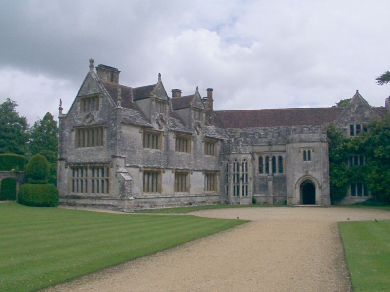
Athelhampton

Athelhampton (also known as Admiston or Adminston) is a settlement and civil parish in Dorset, England, situated approximately 5 miles (8 km) east of Dorchester...

Puddletown Hundred

Puddletown Hundred was a hundred in the county of Dorset, England, containing the following parishes: Athelhampton Burleston Milborne St Andrew (part...

Puddletown

Puddletown is a village and civil parish in Dorset, England. It is situated by the River Piddle, from which it derives its name, about 4.5 miles (7 km...

Devils Brook (Dorset)

The Devils Brook is a Dorset watercourse of that rises near Higher Ansty (on Pleck Farm, in Pleck or Little Ansty), near to the source of the River Divelish...

Nearby Amenities

Located within 500m of 50.777421,-2.3332069
Material: wood
Power: pole
Ref: 9
Source: bing
Source Ref: interpolation
Lat/Long: 50.7729621/-2.3324517
Material: wood
Power: pole
Ref: 10
Source: survey
Source Ref: survey
Lat/Long: 50.7735517/-2.3337907
Material: wood
Power: pole
Source: bing
Lat/Long: 50.7742826/-2.335475
Material: wood
Power: pole
Source: bing
Lat/Long: 50.7749297/-2.3369863
Material: wood
Power: pole
Source: bing
Lat/Long: 50.7753159/-2.3359863
Material: wood
Power: pole
Source: bing
Lat/Long: 50.7756995/-2.3350464
Material: wood
Power: pole
Source: bing
Lat/Long: 50.7758949/-2.3374795
Material: wood
Power: pole
Source: bing
Lat/Long: 50.7760778/-2.3341065
Material: wood
Power: pole
Source: bing
Lat/Long: 50.776451/-2.3331479
Material: wood
Power: pole
Source: bing
Lat/Long: 50.7767132/-2.3378747
Material: wood
Power: pole
Source: bing
Switch: mechanical
Lat/Long: 50.7768808/-2.3321591
Material: wood
Power: pole
Source: bing
Transformer: distribution
Lat/Long: 50.7772786/-2.3311553
Material: wood
Power: pole
Source: bing
Lat/Long: 50.7774698/-2.3306745
Material: wood
Power: pole
Source: bing
Lat/Long: 50.7775241/-2.3382729
Material: wood
Power: pole
Source: bing
Lat/Long: 50.7776619/-2.330205
Material: wood
Power: pole
Source: bing
Transformer: distribution
Lat/Long: 50.7778556/-2.329719
Material: wood
Power: pole
Source: bing
Lat/Long: 50.7784147/-2.329068
Material: wood
Power: pole
Source: bing
Lat/Long: 50.7784072/-2.3386975
Material: wood
Power: pole
Source: bing
Lat/Long: 50.7789514/-2.3283898
Material: wood
Power: pole
Source: bing
Lat/Long: 50.7792903/-2.339113
Material: wood
Power: pole
Source: bing
Lat/Long: 50.7800753/-2.3388885
Power: pole
Source: bing
Lat/Long: 50.7795435/-2.3277578
Power: pole
Source: bing
Lat/Long: 50.778062/-2.329925
The data included in this document is from www.openstreetmap.org. The data is made available under ODbL.

Have you been to Shailes Copse?

Leave your review of Shailes Copse below (or comments, questions and feedback).