Trout Pond Wood

Wood, Forest in Somerset Mendip

England

Trout Pond Wood

Deerwood Common A straight road through woodland towards Gare Hill.
Deerwood Common Credit: Derek Harper

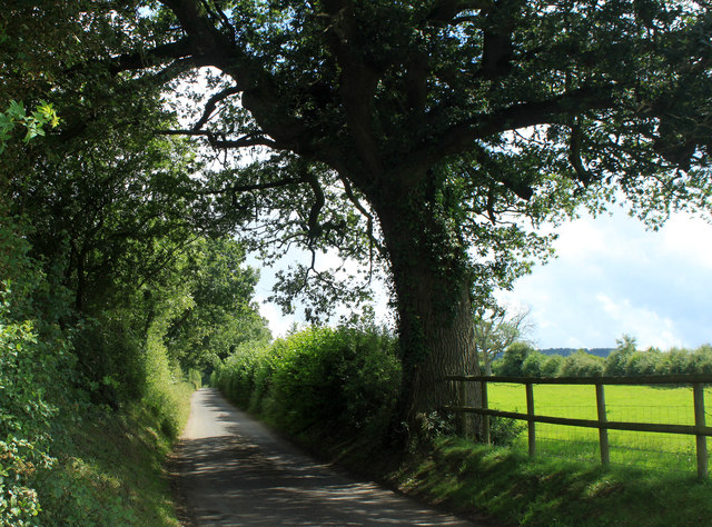
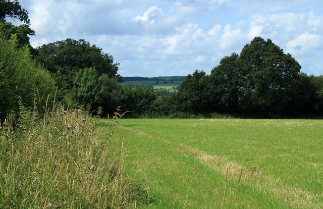
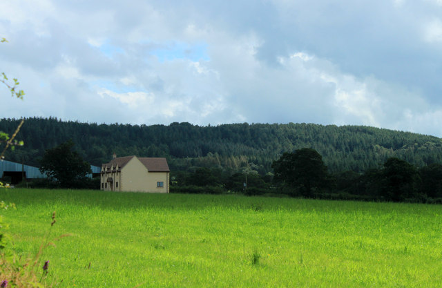
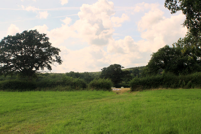
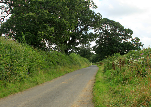
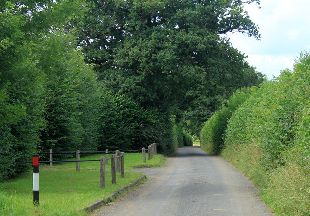
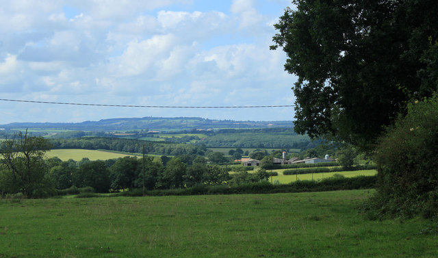
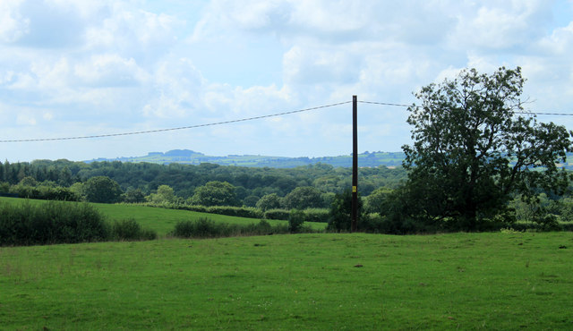
Trout Pond Wood, located in Somerset, is a picturesque forest that spans across a vast area of land. With its lush greenery, diverse wildlife, and tranquil atmosphere, it is a popular destination for nature enthusiasts and those seeking a peaceful retreat.

The wood is predominantly composed of deciduous trees, such as oak, beech, and ash, which create a stunning canopy that provides shade during the summer months. In addition to the magnificent trees, the forest is also home to a variety of plant species, including bluebells, wild garlic, and ferns, adding to its natural beauty.

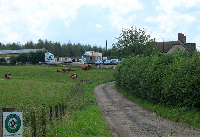
Trout Pond Wood gets its name from the small pond nestled within its boundaries. This pond is a haven for various species of fish, including trout, which attracts anglers from far and wide. The pond is also a favorite spot for birdwatchers, as it attracts a wide array of bird species, including kingfishers, herons, and ducks.

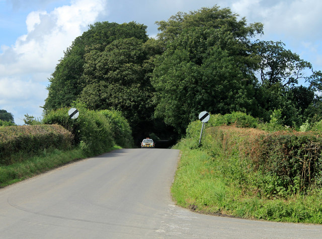
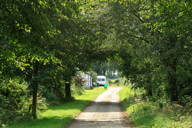
For those who enjoy walking or hiking, the wood offers several well-marked trails that showcase its stunning landscapes and provide opportunities for wildlife spotting. These trails vary in difficulty, catering to both novice and experienced hikers.

The peaceful ambiance of Trout Pond Wood makes it an ideal location for a family picnic or a quiet afternoon spent exploring nature. Visitors can find designated picnic areas with benches, as well as designated areas for barbecues.

Overall, Trout Pond Wood in Somerset is a delightful retreat that offers a unique blend of natural beauty, tranquility, and recreational opportunities for all nature lovers to enjoy.

If you have any feedback on the listing, please let us know in the comments section below.

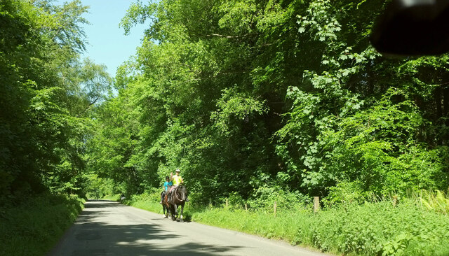
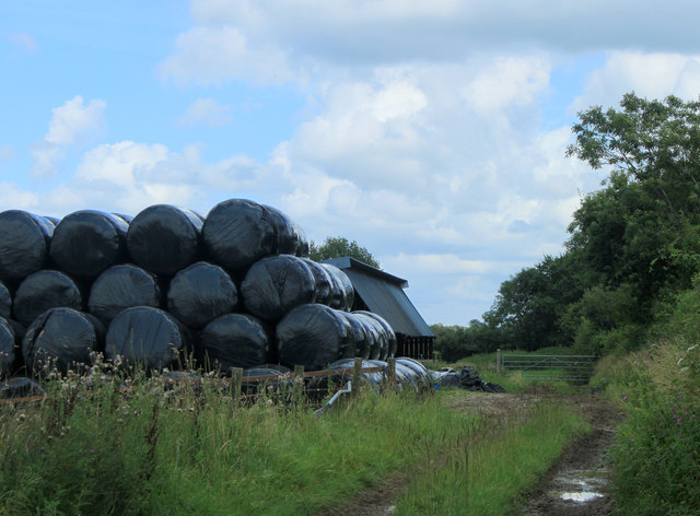
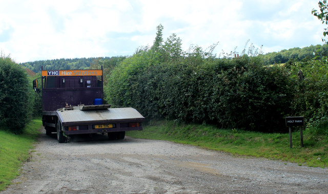
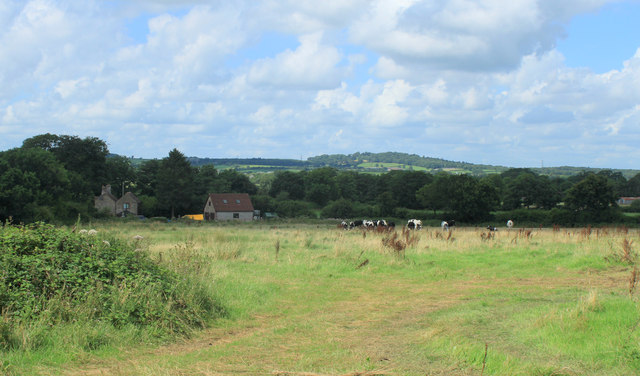
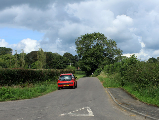
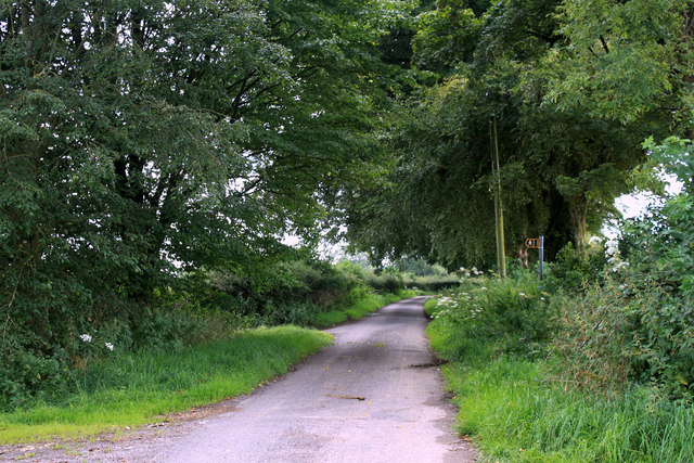
Trout Pond Wood Images

Images are sourced within 2km of 51.141594/-2.3357809 or Grid Reference ST7638. Thanks to Geograph Open Source API. All images are credited.

Deerwood Common A straight road through woodland towards Gare Hill.
Deerwood Common
A straight road through woodland towards Gare Hill.
2012 : Stack of baled straw off Dark Lane  Or it could be silage, haven't seen much wheat in this area, more mowing grass.
2012 : Stack of baled straw off Dark Lane
Or it could be silage, haven't seen much wheat in this area, more mowing grass.
2012 : Hired low loader entering Holt Farm
2012 : Holt Farm with herd Seen from Dark Lane, Birch Hill behind.
2012 : Holt Farm with herd
Seen from Dark Lane, Birch Hill behind.
2012 : South east on Dark Lane Near the entrance to Holt Farm.
Dark Lane runs south and east from Witham Friary to a spot near Upper Gibbons Farm where it becomes Holt Road.
2012 : South east on Dark Lane
Near the entrance to Holt Farm. Dark Lane runs south and east from Witham Friary to a spot near Upper Gibbons Farm where it becomes Holt Road.
2012 : South  west from Dark Lane Near the point where it turns into Holt Road.
A field of mowing grass not long after mowing.
A fine oak tree to the right and another at the end of the hedgerow.
2012 : South west from Dark Lane
Near the point where it turns into Holt Road. A field of mowing grass not long after mowing. A fine oak tree to the right and another at the end of the hedgerow.
2012 : Across the field to Gibbons Farm  Seen from Dark Lane, a field away from Upper Gibbons Farm.
Hick's Park Wood is on the hill behind.
2012 : Across the field to Gibbons Farm
Seen from Dark Lane, a field away from Upper Gibbons Farm. Hick's Park Wood is on the hill behind.
2012 : South west from Dark Lane  The Hermitage is partly seen through the trees and Hick's Park Wood.
Oak trees abound in this area at least two here.
Electricity pylons are notable for their absence, it can be done.
2012 : South west from Dark Lane
The Hermitage is partly seen through the trees and Hick's Park Wood. Oak trees abound in this area at least two here. Electricity pylons are notable for their absence, it can be done.
2012 : Dark Lane heading south east Somewhere along here it becomes Holt Road and passes Upper Gibbons Farm.
A couple of fine oak trees overhang the road. It's all right my beauties, Nelson won't be after you, he's long gone.
2012 : Dark Lane heading south east
Somewhere along here it becomes Holt Road and passes Upper Gibbons Farm. A couple of fine oak trees overhang the road. It's all right my beauties, Nelson won't be after you, he's long gone.
2012 : Dark Lane heading north west To Witham Friary.
The entrance on the right is a private road to The Hermitage.
2012 : Dark Lane heading north west
To Witham Friary. The entrance on the right is a private road to The Hermitage.
2012 : Pleasant dreams at Sweetnap Farm Sweetnap Farm - the sign.
Off Holt Road near Yarnfield Gate. There is a website <span class="nowrap"><a title="http://www.searchme4.co.uk/caravan-transport-and-towing/frome/somerset/l-f-nicholls-and-sons/9252801.html" rel="nofollow ugc noopener" href="http://www.searchme4.co.uk/caravan-transport-and-towing/frome/somerset/l-f-nicholls-and-sons/9252801.html">Link</a><img style="margin-left:2px;" alt="External link" title="External link - shift click to open in new window" src="https://s1.geograph.org.uk/img/external.png" width="10" height="10"/></span>

They also do models <span class="nowrap"><a title="http://www.sweetnapfarmmodels.co.uk/aboutus.asp" rel="nofollow ugc noopener" href="http://www.sweetnapfarmmodels.co.uk/aboutus.asp">Link</a><img style="margin-left:2px;" alt="External link" title="External link - shift click to open in new window" src="https://s1.geograph.org.uk/img/external.png" width="10" height="10"/></span> yes please, nice legs and big ... what? not that kind of model?  Ah well, can't win 'em all.
2012 : Pleasant dreams at Sweetnap Farm
Sweetnap Farm - the sign. Off Holt Road near Yarnfield Gate. There is a website LinkExternal link They also do models LinkExternal link yes please, nice legs and big ... what? not that kind of model? Ah well, can't win 'em all.
2012 : Sweetnap Farm from the entrance With a green sign to protect them. 

Might have gone in if had looked at their website first <span class="nowrap"><a title="http://www.sweetnapfarmmodels.co.uk/" rel="nofollow ugc noopener" href="http://www.sweetnapfarmmodels.co.uk/">Link</a><img style="margin-left:2px;" alt="External link" title="External link - shift click to open in new window" src="https://s1.geograph.org.uk/img/external.png" width="10" height="10"/></span> Their "baddies keep away" sign put me off.
2012 : Sweetnap Farm from the entrance
With a green sign to protect them. Might have gone in if had looked at their website first LinkExternal link Their "baddies keep away" sign put me off.
2012 : South west from Holt Road At the entrance to Sweetnap Farm.
Looking over tangled Mendip country, hills looking as if they were dumped at random. Better organised when you get past Shepton Mallet to the west.
2012 : South west from Holt Road
At the entrance to Sweetnap Farm. Looking over tangled Mendip country, hills looking as if they were dumped at random. Better organised when you get past Shepton Mallet to the west.
2012 : West of  south from Holt Road Near the entrance to Sweetnap Farm.
Over pastures to a wooded landscape. West End Wood is in sight, not so Alfred's Tower which is in this direction but further over.
2012 : West of south from Holt Road
Near the entrance to Sweetnap Farm. Over pastures to a wooded landscape. West End Wood is in sight, not so Alfred's Tower which is in this direction but further over.
2012 : North on New Road near Kilmington Toward Yarnfield Gate, Gare Hill and Trudoxhill.
The signs indicate the end of the 30mph speed limit through Kilmington.
2012 : North on New Road near Kilmington
Toward Yarnfield Gate, Gare Hill and Trudoxhill. The signs indicate the end of the 30mph speed limit through Kilmington.
2012 : Green Ride Cottages A bridleway heading away from Kilmington to Tower Road and on to Alfred's Tower.
Two Jack Russells emerged from the cottage and ran toward me barking furiously, then they realized I was bigger than them and ran away.
2012 : Green Ride Cottages
A bridleway heading away from Kilmington to Tower Road and on to Alfred's Tower. Two Jack Russells emerged from the cottage and ran toward me barking furiously, then they realized I was bigger than them and ran away.
2012 : Butts Lane, Kilmington Heads north east through Kilmington without seeing much of it, passes a Dead Woman and a few farms, ends up at Maiden Bradley after just over three miles. not very exciting. 

An American butt is a different thing from one of ours.
2012 : Butts Lane, Kilmington
Heads north east through Kilmington without seeing much of it, passes a Dead Woman and a few farms, ends up at Maiden Bradley after just over three miles. not very exciting. An American butt is a different thing from one of ours.
2012 : Duke's Lane heading north From Dead Woman's Corner.
Changes its name to Bradley Lane and enters Maiden Bradley.
2012 : Duke's Lane heading north
From Dead Woman's Corner. Changes its name to Bradley Lane and enters Maiden Bradley.
Show me another place!

Trout Pond Wood is located at Grid Ref: ST7638 (Lat: 51.141594, Lng: -2.3357809)

Administrative County: Somerset

District: Mendip

Police Authority: Avon and Somerset

What 3 Words

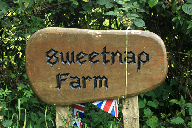
///dripped.correctly.limbs. Near Kilmington, Wiltshire

Related Wikis

Kilmington, Wiltshire

Kilmington is a village and civil parish in the extreme west of Wiltshire, England, about 8 miles (13 km) southwest of Warminster. The parish includes...

North Brewham Meadows

North Brewham Meadows (grid reference ST743379) is an 8.9 hectare (21.9 acre) biological Site of Special Scientific Interest at North Brewham in Somerset...

St Michael's Church, Gare Hill

St Michael's Church is a former Church of England church at Gare Hill, Somerset, England. The church, which was designed by William Butterfield and built...

Witham Charterhouse

Witham Charterhouse, also Witham Priory, at Witham Friary, Somerset, was established in 1178/79, the earliest of the ten medieval Carthusian houses (charterhouses...

Nearby Amenities

Located within 500m of 51.141594,-2.3357809
Yarnfield Gate
Junction: crossroads
Lat/Long: 51.1377592/-2.3320847
Barrier: stile
Lat/Long: 51.1378825/-2.3319162
The data included in this document is from www.openstreetmap.org. The data is made available under ODbL.

Have you been to Trout Pond Wood?

Leave your review of Trout Pond Wood below (or comments, questions and feedback).