Hazel Copse

Wood, Forest in Dorset

England

Hazel Copse

A354 turning to Langham wine estate
A354 turning to Langham wine estate Credit: Paul Barnett

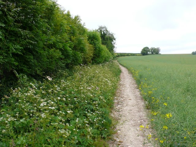
Hazel Copse is a charming woodland located in the county of Dorset, England. Situated in the heart of the countryside, it covers approximately 20 acres of land and is predominantly made up of hazel trees, hence its name. The copse is known for its dense vegetation and rich biodiversity, making it a popular destination for nature enthusiasts and hikers.

The woodland is home to a wide variety of flora and fauna, including native species such as bluebells, primroses, and wood anemones. The hazel trees provide a dense canopy, creating a shaded and cool environment even during the hot summer months. This makes Hazel Copse an ideal spot for a leisurely stroll or a peaceful picnic.

The copse is also home to a diverse range of wildlife. Birdwatchers can spot species such as woodpeckers, nuthatches, and tawny owls, while lucky visitors may even catch a glimpse of a roe deer or a fox. The peaceful atmosphere and the abundance of natural beauty make Hazel Copse a haven for photographers and artists seeking inspiration.

The woodland is easily accessible, with well-maintained footpaths and trails that lead visitors through its enchanting landscape. Whether you are a nature lover, a photographer, or simply someone seeking a tranquil retreat, Hazel Copse offers a serene and picturesque setting to escape the hustle and bustle of everyday life.

If you have any feedback on the listing, please let us know in the comments section below.
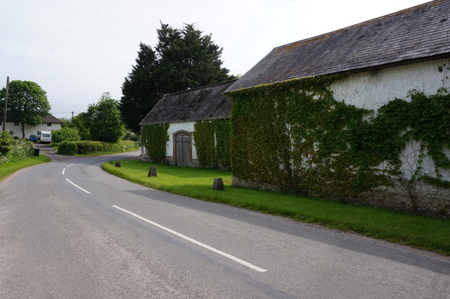
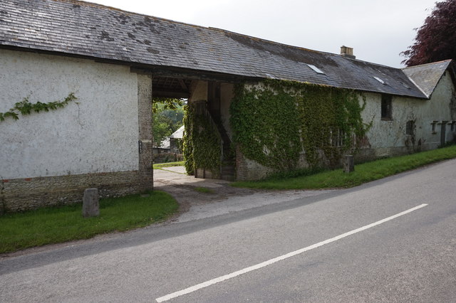
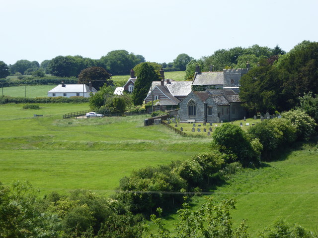
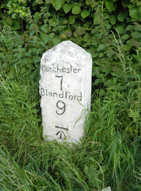
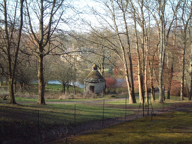
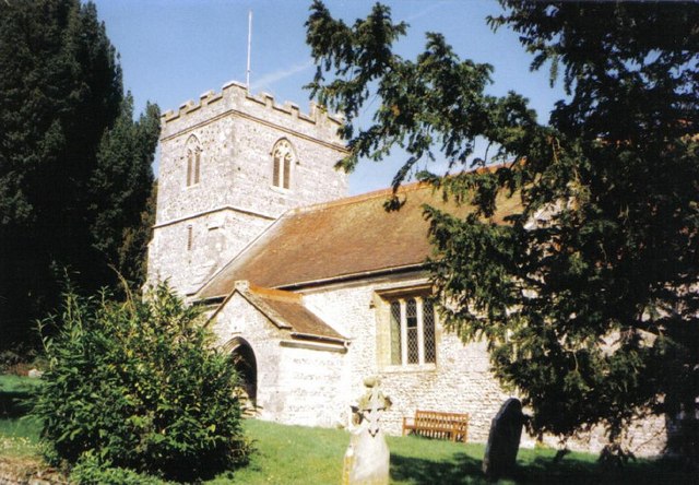
Hazel Copse Images

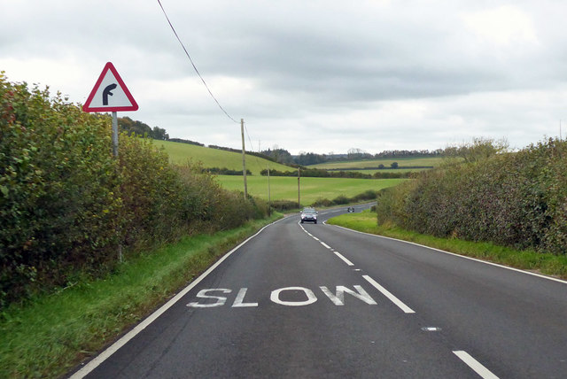
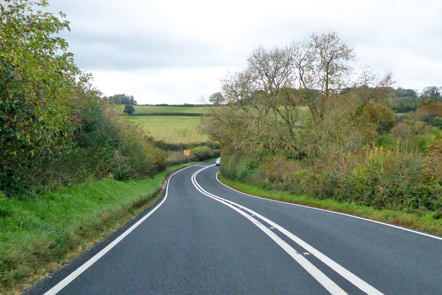
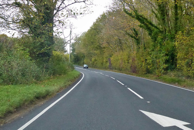
Images are sourced within 2km of 50.780232/-2.3282767 or Grid Reference SY7697. Thanks to Geograph Open Source API. All images are credited.

A354 turning to Langham wine estate
Warren Hill at Chebbard Farm
Chebbard Farm
Chebbard Farm
Road entering Cheselbourne
The former Rivers Arms, Cheselbourne
St Martin's, Cheselbourne
Dewlish Church and surrounds
Old Milestone by the A354, north east of Puddletown Carved stone post by the A354, in parish of DEWLISH (WEST DORSET District), 500m West of Milborne Wood farm, uphill from turn to Crawthorne farm, on rough verge against hedge, on South side of road. Dorset 1 (limestone), erected by the Harnham, Blandford & Dorchester turnpike trust in the 19th century. 

Inscription reads:
Dorchester
7
Blandford
9  
Carved benchmark bottom centre of front face.

Milestone Society National ID: DO_DOBF07.
Old Milestone by the A354, north east of Puddletown
Carved stone post by the A354, in parish of DEWLISH (WEST DORSET District), 500m West of Milborne Wood farm, uphill from turn to Crawthorne farm, on rough verge against hedge, on South side of road. Dorset 1 (limestone), erected by the Harnham, Blandford & Dorchester turnpike trust in the 19th century. Inscription reads: Dorchester 7 Blandford 9 Carved benchmark bottom centre of front face. Milestone Society National ID: DO_DOBF07.
A354 towards Dorchester From Blandford Forum.
A354 towards Dorchester
From Blandford Forum.
A354 towards Dorchester Dropping down to Fryer's Bridge to cross Devil's Brook.
A354 towards Dorchester
Dropping down to Fryer's Bridge to cross Devil's Brook.
A354 towards Dorchester From Blandford Forum.
A354 towards Dorchester
From Blandford Forum.
Cheselbourne Footpath
Cheselbourne Footpath Gate
Cheselbourne Footpath and Church
Farm Buildings near Cheselbourne
Old Houses, in Dewlish
Puddletown Down This bridleway runs between a hedgerow and a field of ripening rape up onto Puddletown down just south west of Chebbard Farm.
Puddletown Down
This bridleway runs between a hedgerow and a field of ripening rape up onto Puddletown down just south west of Chebbard Farm.
Show me another place!

Hazel Copse is located at Grid Ref: SY7697 (Lat: 50.780232, Lng: -2.3282767)

Unitary Authority: Dorset

Police Authority: Dorset

What 3 Words

///views.accompany.powder. Near Milborne St Andrew, Dorset

Related Wikis

Dewlish House

Dewlish House is a country house near Dewlish in Dorset. It is a Grade I Listed building. == History == Dewlish House, built in 1702, became the home of...

Dewlish

Dewlish is a village and civil parish in the county of Dorset in southern England, and is situated approximately 7 miles (11 km) north-east of the county...

Dewlish (liberty)

Dewlish Liberty was a liberty in the county of Dorset, England, containing the following parishes: Dewlish Milborne St Andrew (part) == See also == List...

Cheselbourne

Cheselbourne (sometimes spelled Chesilborne or Cheselborne) is a village and civil parish in Dorset, England, situated in the Dorset Downs, 7 miles (11...

Dorset (district)

Dorset is a unitary authority area, existing since 1 April 2019, in the ceremonial county of Dorset, England. It covers all of the ceremonial county except...

Dorset

Dorset ( DOR-sit; archaically: Dorsetshire DOR-sit-sheer, -⁠shər) is a ceremonial county in South West England. It is bordered by Somerset to the north...

Milborne St Andrew

Milborne St Andrew is a village and civil parish in the county of Dorset in southern England. It is situated on the A354 road, 9 miles (14 kilometres)...

Aller, Dorset

Aller is a village in Dorset, England.

Nearby Amenities

Located within 500m of 50.780232,-2.3282767
Material: wood
Power: pole
Source: bing
Switch: mechanical
Lat/Long: 50.7768808/-2.3321591
Material: wood
Power: pole
Source: bing
Transformer: distribution
Lat/Long: 50.7772786/-2.3311553
Material: wood
Power: pole
Source: bing
Lat/Long: 50.7774698/-2.3306745
Material: wood
Power: pole
Source: bing
Lat/Long: 50.7776619/-2.330205
Material: wood
Power: pole
Source: bing
Transformer: distribution
Lat/Long: 50.7778556/-2.329719
Material: wood
Power: pole
Source: bing
Lat/Long: 50.7784147/-2.329068
Material: wood
Power: pole
Source: bing
Lat/Long: 50.7789514/-2.3283898
Material: wood
Power: pole
Source: bing
Lat/Long: 50.7806995/-2.3264316
Material: wood
Power: pole
Source: bing
Lat/Long: 50.781071/-2.3256108
Material: wood
Power: pole
Source: bing
Lat/Long: 50.7814534/-2.3247995
Material: wood
Power: pole
Source: bing
Lat/Long: 50.7818263/-2.3239613
Material: wood
Power: pole
Source: bing
Lat/Long: 50.7821399/-2.3222549
Material: wood
Power: pole
Source: bing
Lat/Long: 50.7822363/-2.3231008
Material: wood
Power: pole
Source: bing
Lat/Long: 50.7830485/-2.3229109
Power: pole
Source: bing
Lat/Long: 50.782463/-2.3247403
Power: pole
Source: bing
Transformer: distribution
Lat/Long: 50.7838315/-2.3264757
Power: pole
Source: bing
Lat/Long: 50.7831752/-2.3256174
Power: pole
Source: bing
Lat/Long: 50.7801175/-2.327098
Power: pole
Source: bing
Lat/Long: 50.7795435/-2.3277578
Power: pole
Source: bing
Lat/Long: 50.778062/-2.329925
Poles: bipole
Power: pole
Source: bing
Transformer: distribution
Lat/Long: 50.7807425/-2.3230478
Power: pole
Source: bing
Lat/Long: 50.7811359/-2.3240201
The data included in this document is from www.openstreetmap.org. The data is made available under ODbL.

Have you been to Hazel Copse?

Leave your review of Hazel Copse below (or comments, questions and feedback).