Bulley Bench Wood
Wood, Forest in Gloucestershire Forest of Dean
England
Bulley Bench Wood

Bulley Bench Wood is a picturesque woodland located in the county of Gloucestershire, England. Situated near the village of Bulley, this forested area covers an approximate area of 150 acres and is part of the stunning Cotswold Hills landscape.
The wood is predominantly composed of native broadleaf trees such as oak, beech, ash, and birch, creating a diverse and vibrant ecosystem. These trees provide a dense canopy, shading the forest floor and creating a tranquil and peaceful atmosphere. The woodland is also home to a variety of wildlife, including deer, badgers, foxes, and numerous bird species.
Bulley Bench Wood is a popular destination for nature enthusiasts and outdoor lovers. It offers a range of walking trails, allowing visitors to explore the woodland's beauty at their leisure. The well-maintained paths wind through the forest, providing stunning views of the surrounding countryside and opportunities for quiet reflection.
In addition to its natural beauty, Bulley Bench Wood has historical significance. The wood was once part of the hunting grounds for the nearby Dymock Castle, which dates back to the medieval period. Remnants of ancient earthworks and boundary walls can still be found within the woodland, serving as a reminder of its rich past.
Overall, Bulley Bench Wood is a delightful destination for those seeking solace in nature. Its diverse flora and fauna, coupled with its tranquil ambiance and historical charm, make it a must-visit location for anyone exploring the Gloucestershire region.
If you have any feedback on the listing, please let us know in the comments section below.
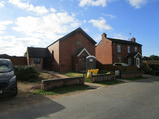
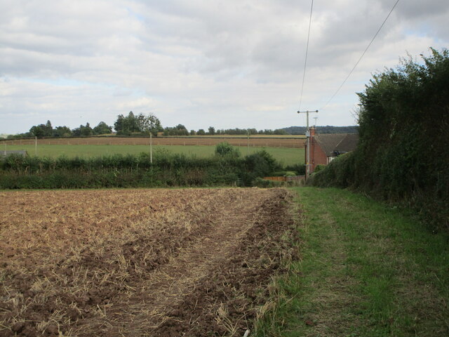
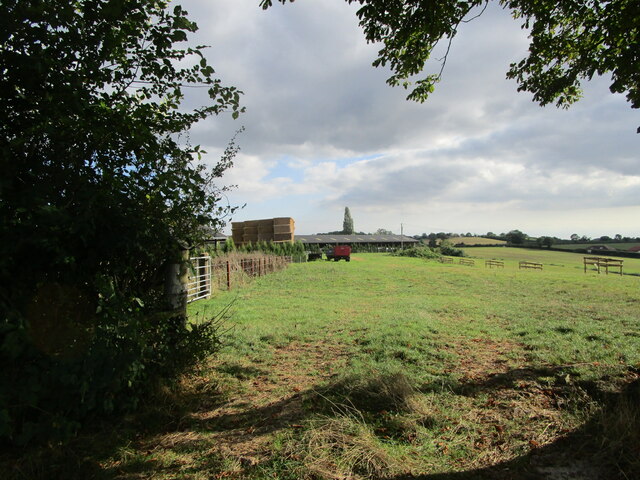
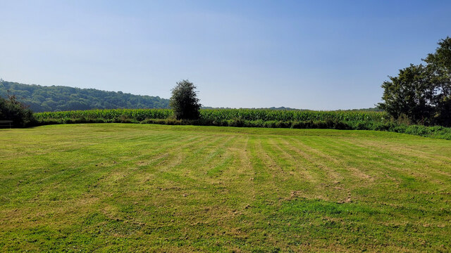
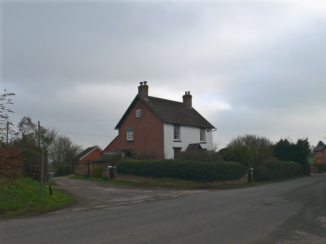
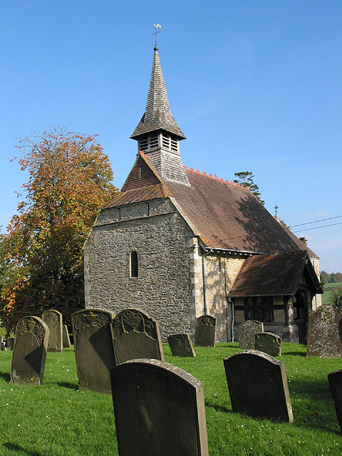
Bulley Bench Wood Images
Images are sourced within 2km of 51.880629/-2.3455627 or Grid Reference SO7620. Thanks to Geograph Open Source API. All images are credited.


Bulley Bench Wood is located at Grid Ref: SO7620 (Lat: 51.880629, Lng: -2.3455627)
Administrative County: Gloucestershire
District: Forest of Dean
Police Authority: Gloucestershire
What 3 Words
///blaring.completed.hinders. Near Huntley, Gloucestershire
Nearby Locations
Related Wikis
Bulley
Bulley is a village and former civil parish, now in the parish of Churcham, in the Forest of Dean district, in Gloucestershire, almost 7 miles (11 km)...

Tibberton, Gloucestershire
Tibberton is located 5 miles (8.0 km) from Gloucester and 5 miles from Newent. The current population of Tibberton as recorded in the 2021 census was 590...

Highnam Woods
Highnam Wood is a nature reserve located in Gloucestershire and established by the RSPB to protect bird species in the region. A two-kilometre nature...

School of the Lion
The School of the Lion was an independent school based in Churcham, Gloucestershire. The school was founded in by 1987 by a group of Gloucestershire-based...

Churcham
Churcham is a small village and civil parish in the Forest of Dean District of Gloucestershire in England, located 4 miles (6.4 km) west of Gloucester...

Barbers Bridge railway station
Barbers Bridge railway station was on the Ledbury and Gloucester Railway in Gloucestershire, England. It was opened on 27 July 1885 and it closed to passengers...

Rudford
Rudford is a village and former civil parish, now in the parish of Rudford and Highleadon, in the Forest of Dean district, in the county of Gloucestershire...

Oakle Street railway station
Oakle Street railway station served the village of Oakle Street, Gloucestershire, England from 1851 to 1964 on the Gloucester-Newport line. == History... ==
Nearby Amenities
Located within 500m of 51.880629,-2.3455627Have you been to Bulley Bench Wood?
Leave your review of Bulley Bench Wood below (or comments, questions and feedback).