Alder House Wood

Wood, Forest in Yorkshire Ribble Valley

England

Alder House Wood

Ordnance Survey Cut Mark This mark can be found on a gatepost at the entrance to a track off Holden Lane, Threap Green.
The benchmark has a recorded height of 248.1377 metres above sea level.
For more detail see : <span class="nowrap"><a title="https://www.bench-marks.org.uk/bm152218" rel="nofollow ugc noopener" href="https://www.bench-marks.org.uk/bm152218">Link</a><img style="margin-left:2px;" alt="External link" title="External link - shift click to open in new window" src="https://s1.geograph.org.uk/img/external.png" width="10" height="10"/></span>
Ordnance Survey Cut Mark Credit: Peter Wood

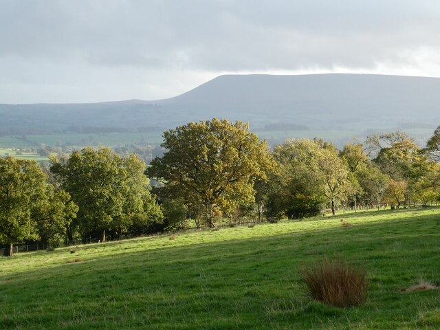
Alder House Wood, located in Yorkshire, England, is a picturesque forest known for its natural beauty and diverse ecosystem. Covering an area of approximately 300 acres, this woodland is a popular destination for nature enthusiasts and hikers.

The woodland is characterized by its dense population of alder trees, which give it its name. These majestic trees, with their distinctive dark bark and serrated leaves, create a serene and tranquil atmosphere within the forest. The wood is also home to a variety of other tree species, including oak, birch, and beech, which adds to its overall charm.

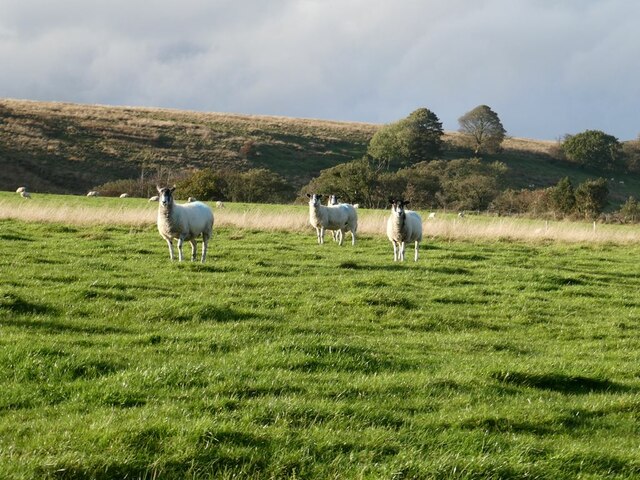
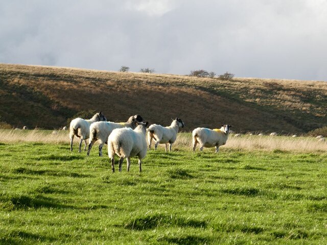
Alder House Wood is a haven for wildlife, providing a habitat for numerous species. Birdwatchers will delight in the chance to spot native birds such as woodpeckers, nuthatches, and tawny owls. Squirrels can often be seen darting between the branches, while the lucky visitor may even catch a glimpse of a deer or fox.

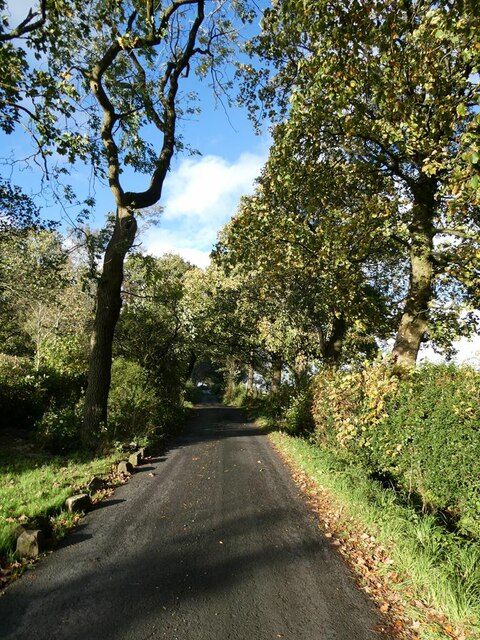
The woodland is crisscrossed with well-maintained footpaths, allowing visitors to explore its beauty at their leisure. These trails lead to enchanting glades and secluded clearings, where one can relax and enjoy the tranquility of the surroundings.

Alder House Wood, with its rich biodiversity and stunning natural scenery, is a true gem in the Yorkshire landscape. Whether it's a leisurely stroll or an immersive hike, visitors are sure to be captivated by the beauty and serenity of this enchanting woodland.

If you have any feedback on the listing, please let us know in the comments section below.

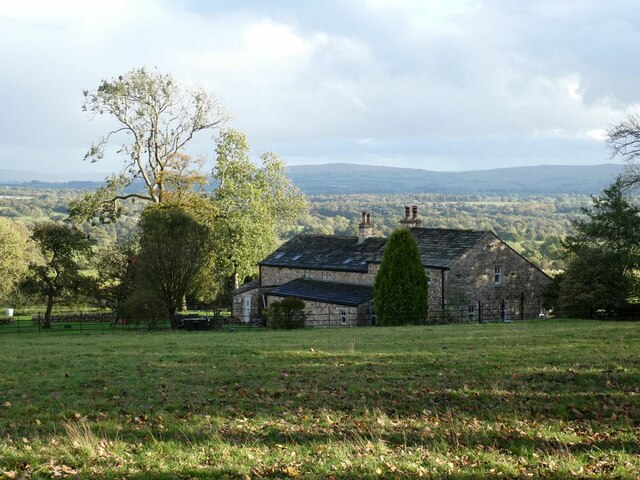
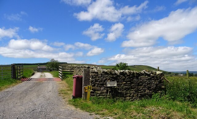
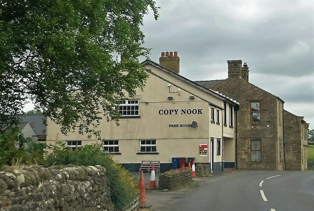
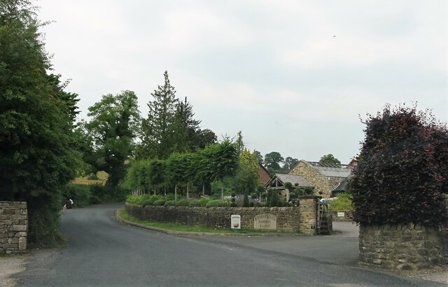
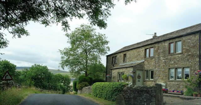
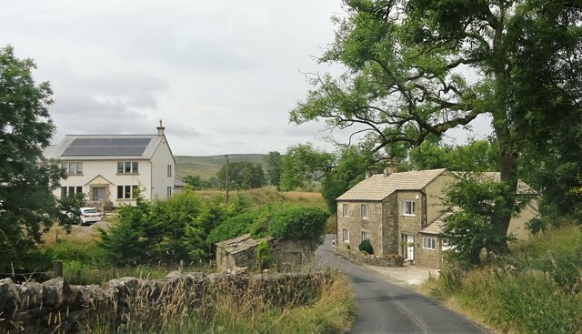
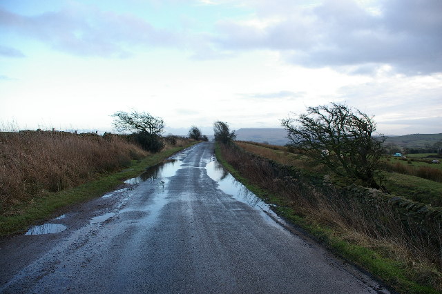
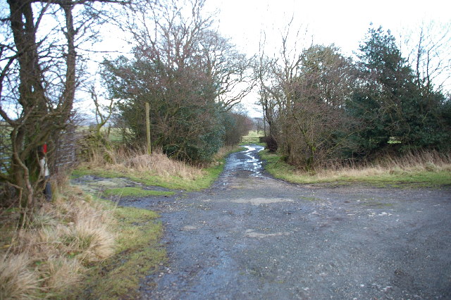
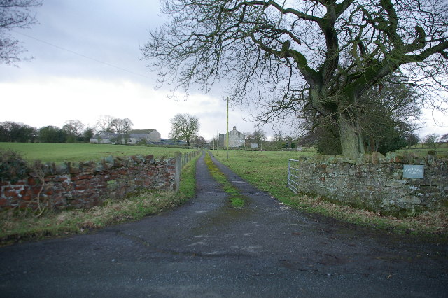
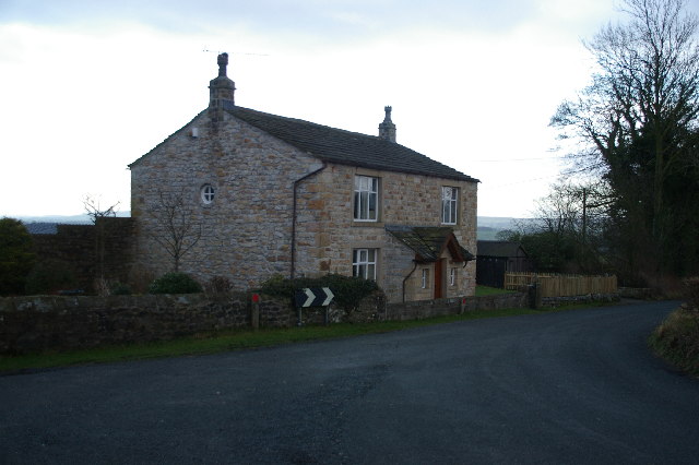
Alder House Wood Images

Images are sourced within 2km of 53.949989/-2.3624968 or Grid Reference SD7650. Thanks to Geograph Open Source API. All images are credited.

Ordnance Survey Cut Mark This mark can be found on a gatepost at the entrance to a track off Holden Lane, Threap Green.
The benchmark has a recorded height of 248.1377 metres above sea level.
For more detail see : <span class="nowrap"><a title="https://www.bench-marks.org.uk/bm152218" rel="nofollow ugc noopener" href="https://www.bench-marks.org.uk/bm152218">Link</a><img style="margin-left:2px;" alt="External link" title="External link - shift click to open in new window" src="https://s1.geograph.org.uk/img/external.png" width="10" height="10"/></span>
Ordnance Survey Cut Mark
This mark can be found on a gatepost at the entrance to a track off Holden Lane, Threap Green. The benchmark has a recorded height of 248.1377 metres above sea level. For more detail see : LinkExternal link
Knotts Lane near Varley's Farm A very minor road running up the west side of the valley of Holden Beck.
Knotts Lane near Varley's Farm
A very minor road running up the west side of the valley of Holden Beck.
Broad Ing Farm Commanding an extensive view over the valley of the Holden Beck.
Broad Ing Farm
Commanding an extensive view over the valley of the Holden Beck.
Sheep in field beside Knotts Lane Near Witton's Farm
Sheep in field beside Knotts Lane
Near Witton's Farm
View south from Knotts Lane Pendle Hill <a href="https://www.geograph.org.uk/gridref/SD7754">SD7754</a> dominates the skyline.
View south from Knotts Lane
Pendle Hill SD7754 dominates the skyline.
Wary sheep In a field beside Knotts Lane.
Wary sheep
In a field beside Knotts Lane.
A very effective road block A hay bale has been strategically placed across the top of this footpath to Wittons Farm to prevent access by motor vehicles.
A very effective road block
A hay bale has been strategically placed across the top of this footpath to Wittons Farm to prevent access by motor vehicles.
Guide post at Lane Ends The top half of the roundel has been removed. It is likely that it would have read West Yorks. but the area is now in Lancashire since local government reorganisation.
Guide post at Lane Ends
The top half of the roundel has been removed. It is likely that it would have read West Yorks. but the area is now in Lancashire since local government reorganisation.
Smalden House Farm The track off Smalden Lane leading to the farmhouse.
Smalden House Farm
The track off Smalden Lane leading to the farmhouse.
Lane junction Smalden Lane meets Landing Lane which leads to Harrop Fold.
Lane junction
Smalden Lane meets Landing Lane which leads to Harrop Fold.
The Copy Nook A pub near Holden.
The Copy Nook
A pub near Holden.
Nursery entrance Holden Clough Nursery was established in 1927.
Nursery entrance
Holden Clough Nursery was established in 1927.
Holden Lane At Bay Gate. The house on the right is Baygate Barn.
Holden Lane
At Bay Gate. The house on the right is Baygate Barn.
The old and the new Houses on Barret Hill Brow near Lane Ends.
The old and the new
Houses on Barret Hill Brow near Lane Ends.
After the storm ( Holden Lane) Looking SE towards Anna Lane Head
After the storm ( Holden Lane)
Looking SE towards Anna Lane Head
Anna Lane Head Looking east down the old road (bridle way) which leads down too Broad Ing
Anna Lane Head
Looking east down the old road (bridle way) which leads down too Broad Ing
Alder House Farm Road leading to Alder House Farm which can be seen in the distance
Alder House Farm
Road leading to Alder House Farm which can be seen in the distance
Show me another place!

Alder House Wood is located at Grid Ref: SD7650 (Lat: 53.949989, Lng: -2.3624968)

Division: West Riding

Administrative County: Lancashire

District: Ribble Valley

Police Authority: Lancashire

What 3 Words

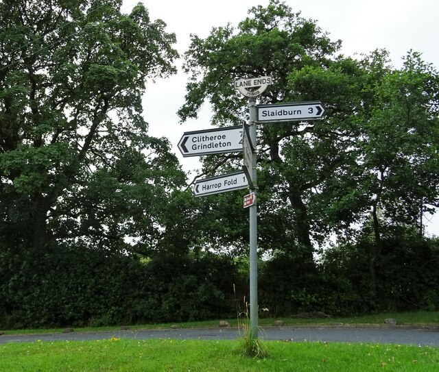
///proved.proper.chart. Near Chatburn, Lancashire

Related Wikis

Bolton-by-Bowland

Bolton-by-Bowland is a village and civil parish in the Ribble Valley district of Lancashire, England. Before 1974, the village was part of Bowland Rural...

St Peter and St Paul's Church, Bolton-by-Bowland

St Peter and St Paul's Church is in Gisburn Road, Bolton-by-Bowland, Lancashire, England. It is an active Anglican parish church in the deanery of Whalley...

Skirden Beck

Skirden Beck is a minor river in Lancashire, England (historically in the West Riding of Yorkshire). It is approximately 4.3 miles (6.85 km) long and has...

Easington Fell

Easington Fell is a Marilyn in the Forest of Bowland in Lancashire, England. It has been surveyed to be 70 cm higher than a nearby fell of almost identical...

Manor House, Gisburn Forest

Manor House is an historic building in Gisburn Forest, Lancashire, England. It was built in the early 18th century, but contains a section that is believed...

Sawley, Lancashire

Sawley is a village and civil parish in the Borough of Ribble Valley in Lancashire, England. The population of the civil parish was 305 at the 2001 Census...
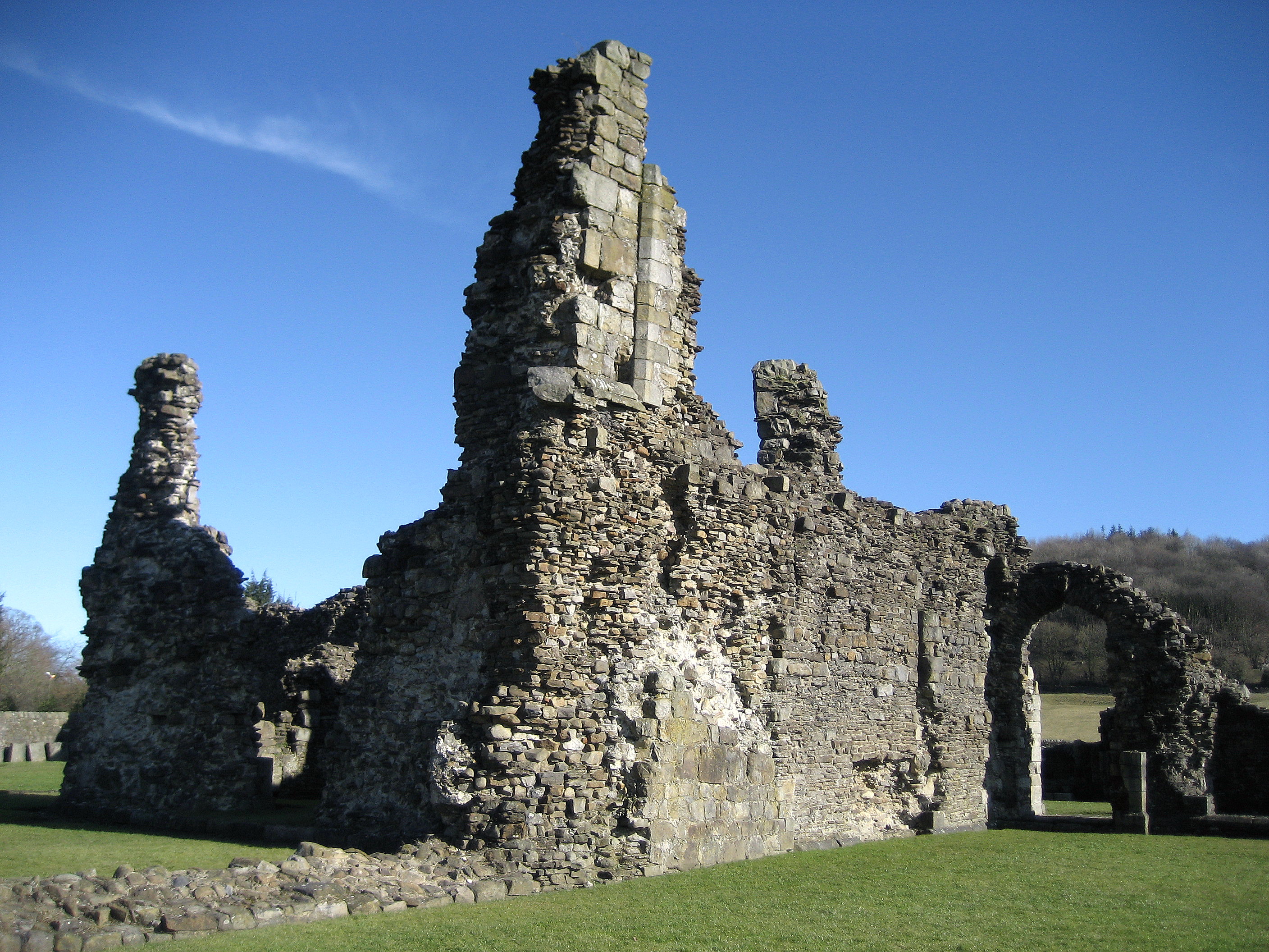
Sawley Abbey

Sawley Abbey was an abbey of Cistercian monks in the village of Sawley, Lancashire, in England (and historically in the West Riding of Yorkshire). Created...

Bowland High

Bowland High is a coeducational secondary school with academy status, located in Grindleton in Lancashire, England. It educates pupils from ages 11–16...

Nearby Amenities

Located within 500m of 53.949989,-2.3624968
Place: farm
Lat/Long: 53.9466757/-2.3637362
Place: farm
Lat/Long: 53.9491635/-2.3578354
Victoria Mine
Description: 4 levels where driven and a little galena found. But lead prices were low, so the mine was wound up after only 2 years.
End Date: 1871
Historic: mine
Mineral: lead
Operator: Victoria Mining Co. Ltd
Source: Northerm Mine Research Society
Start Date: 1869
Website: https://www.nmrs.org.uk/mines-map/metal/mid-pennine-mines/fsouth/bowland/victoria/
Lat/Long: 53.9492932/-2.3655786
The data included in this document is from www.openstreetmap.org. The data is made available under ODbL.

Have you been to Alder House Wood?

Leave your review of Alder House Wood below (or comments, questions and feedback).