Clough Wood
Wood, Forest in Yorkshire Ribble Valley
England
Clough Wood
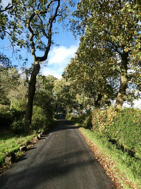
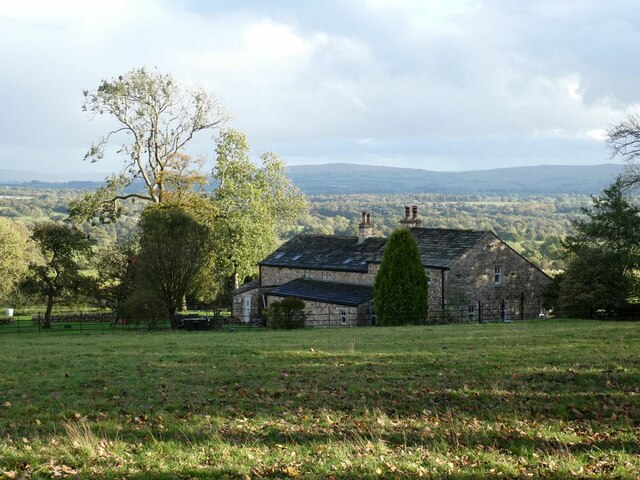
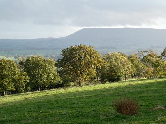
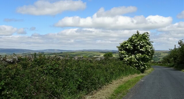
Clough Wood is a captivating forest located in the picturesque region of Yorkshire, England. Nestled amidst the rolling hills and meandering rivers, this woodland is a stunning natural gem that attracts visitors from near and far.
Covering an expansive area of land, Clough Wood is home to a diverse range of flora and fauna. The dense canopy of trees, including majestic oaks, beeches, and birches, creates a sense of tranquility and provides a haven for various bird species, such as woodpeckers, owls, and thrushes. The forest floor is adorned with an array of wildflowers, adding vibrant colors to the landscape during the spring and summer months.
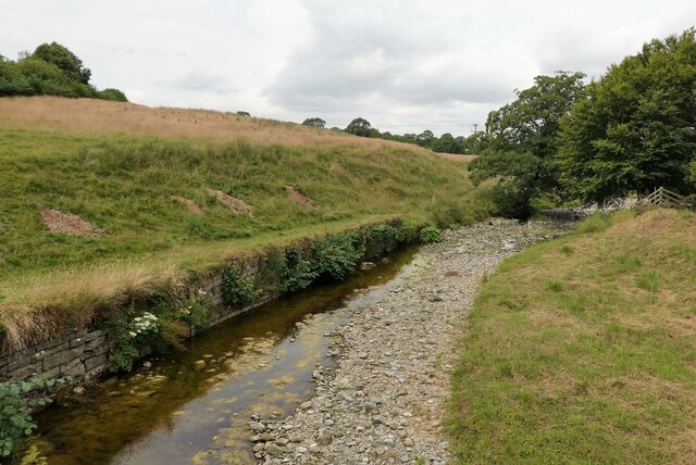
The wood offers numerous walking trails that wind through its enchanting pathways, allowing visitors to immerse themselves in the beauty of nature. As one traverses the forest, they may come across babbling brooks and small waterfalls, adding to the allure of the surroundings. The scent of pine and earth fills the air, providing a refreshing and invigorating experience.
Clough Wood is not only a haven for nature enthusiasts but also a valuable habitat for various woodland creatures, including deer, foxes, and rabbits. The forest is carefully managed to maintain its ecological balance and preserve its natural beauty.
Visitors to Clough Wood can enjoy a peaceful retreat from the hustle and bustle of everyday life. Whether it's a leisurely stroll, birdwatching, or simply basking in the serenity of the surroundings, this woodland offers a tranquil escape for individuals seeking solace in nature's embrace.
If you have any feedback on the listing, please let us know in the comments section below.
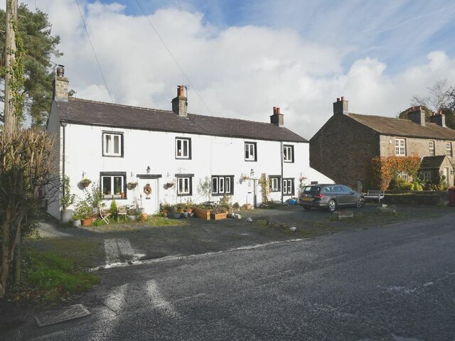
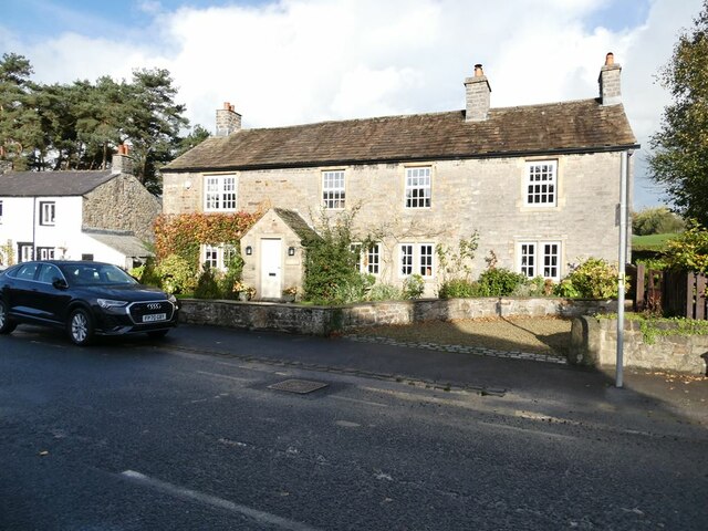
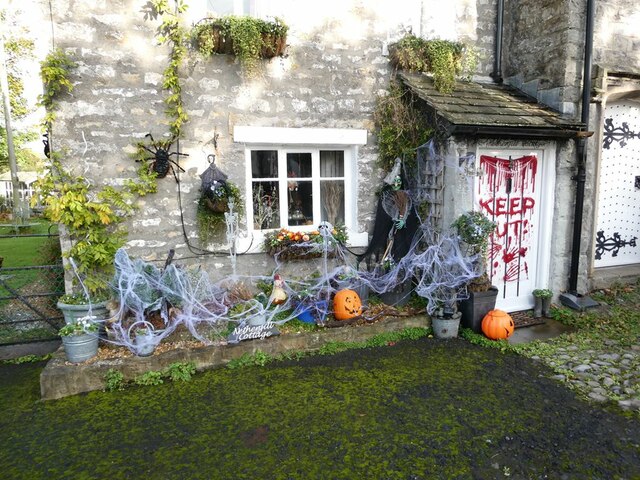
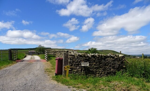
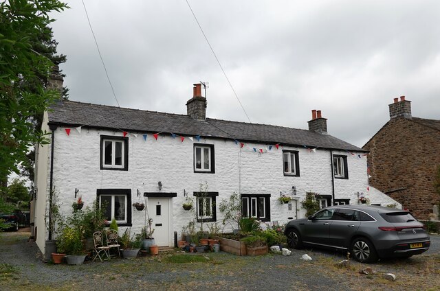
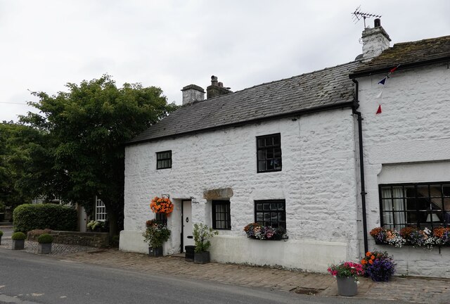
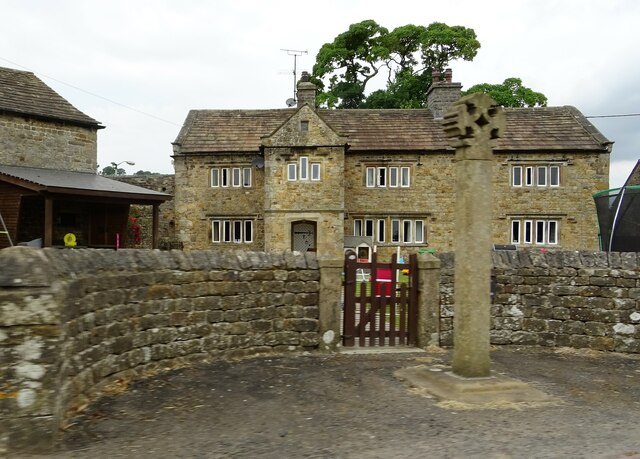
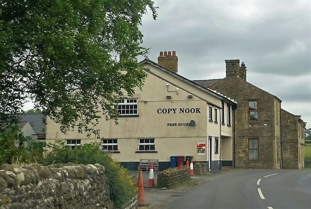
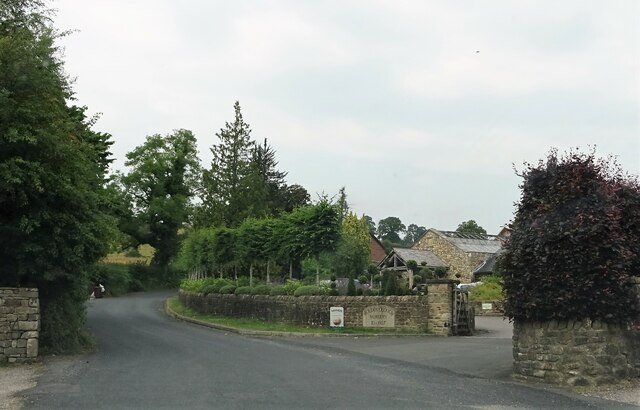
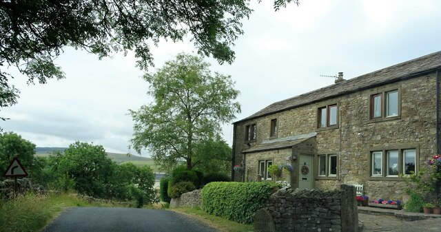
Clough Wood Images
Images are sourced within 2km of 53.945716/-2.3576606 or Grid Reference SD7650. Thanks to Geograph Open Source API. All images are credited.


Clough Wood is located at Grid Ref: SD7650 (Lat: 53.945716, Lng: -2.3576606)
Division: West Riding
Administrative County: Lancashire
District: Ribble Valley
Police Authority: Lancashire
What 3 Words
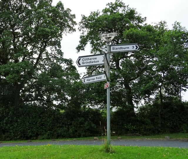
///riverbank.fired.replaces. Near Chatburn, Lancashire
Nearby Locations
Related Wikis

Bolton-by-Bowland
Bolton-by-Bowland is a village and civil parish in the Ribble Valley district of Lancashire, England. Before 1974, the village was part of Bowland Rural...

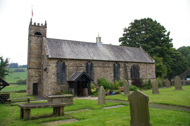
St Peter and St Paul's Church, Bolton-by-Bowland
St Peter and St Paul's Church is in Gisburn Road, Bolton-by-Bowland, Lancashire, England. It is an active Anglican parish church in the deanery of Whalley...

Skirden Beck
Skirden Beck is a minor river in Lancashire, England (historically in the West Riding of Yorkshire). It is approximately 4.3 miles (6.85 km) long and has...

Sawley, Lancashire
Sawley is a village and civil parish in the Borough of Ribble Valley in Lancashire, England. The population of the civil parish was 305 at the 2001 Census...
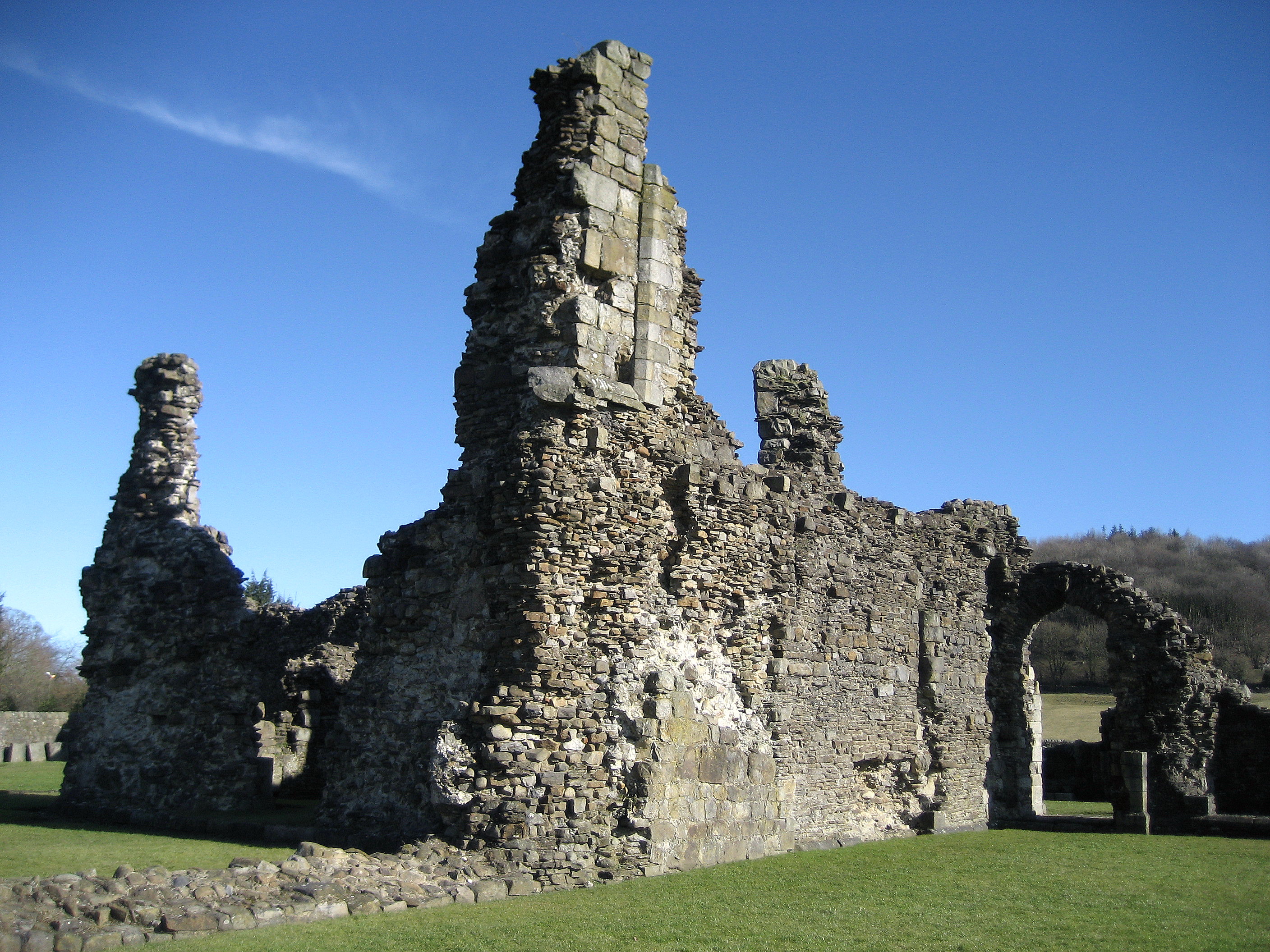
Sawley Abbey
Sawley Abbey was an abbey of Cistercian monks in the village of Sawley, Lancashire, in England (and historically in the West Riding of Yorkshire). Created...

Easington Fell
Easington Fell is a Marilyn in the Forest of Bowland in Lancashire, England. It has been surveyed to be 70 cm higher than a nearby fell of almost identical...

Bowland High
Bowland High is a coeducational secondary school with academy status, located in Grindleton in Lancashire, England. It educates pupils from ages 11–16...
St Ambrose's Church, Grindleton
St Ambrose's Church is in the village of Grindleton, which is situated about 3 miles (5 km) northeast of Clitheroe, Lancashire, England. It is an active...
Nearby Amenities
Located within 500m of 53.945716,-2.3576606Have you been to Clough Wood?
Leave your review of Clough Wood below (or comments, questions and feedback).