Haslost Wood

Wood, Forest in Lancashire Ribble Valley

England

Haslost Wood

Old Milestone, Read Currently located in Whins Lane, Read. 

Inscription: To / Whalley / 2 Miles / To Clitheroe / 6 Miles // 
             To / Padiham / 2 Miles / to Burnley / 3½ Miles

Milestone Society National ID: LA_BUCL06
Old Milestone, Read Credit: David Phillips

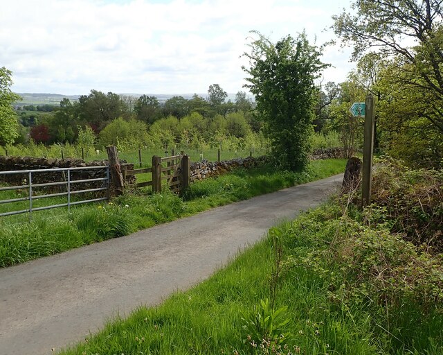
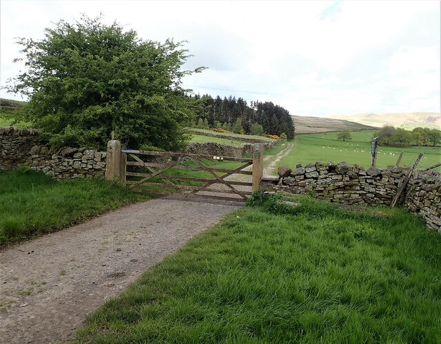
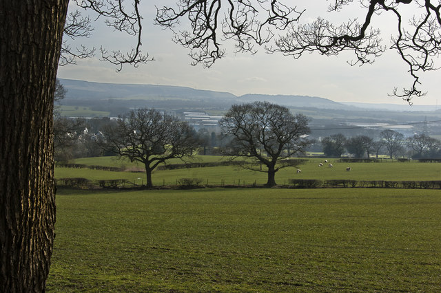
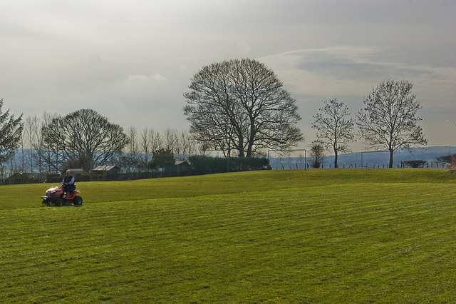
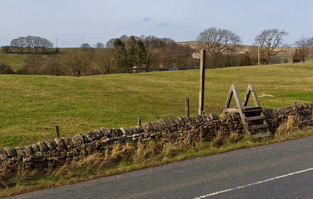
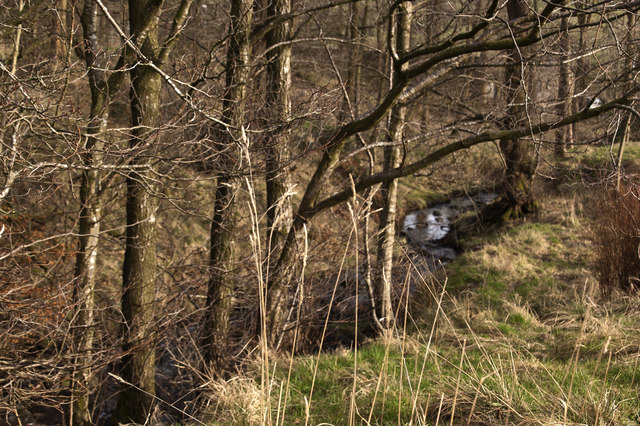
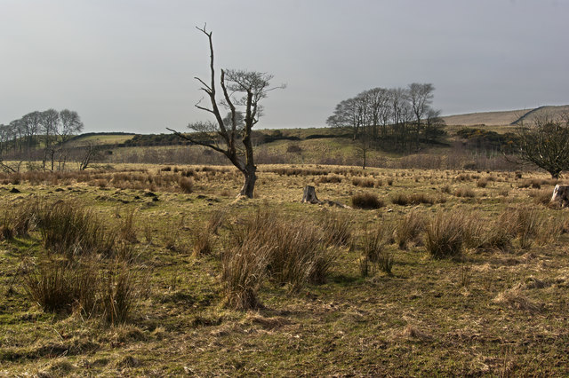
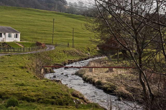
Haslost Wood is a picturesque forest located in the county of Lancashire, England. Covering an area of approximately 50 acres, this enchanting woodland is nestled in the heart of the Lancashire countryside. With its rich biodiversity and serene atmosphere, Haslost Wood offers a tranquil retreat for nature enthusiasts and avid walkers alike.

The woodland is primarily composed of a mixture of broadleaf and coniferous trees, creating a diverse and lush habitat for a wide variety of flora and fauna. Ancient oaks, beech, and birch trees dominate the landscape, providing shelter and sustenance for numerous bird species, including woodpeckers, thrushes, and owls. The forest floor is carpeted with a vibrant tapestry of wildflowers, ferns, and mosses, further enhancing the natural beauty of the woodland.

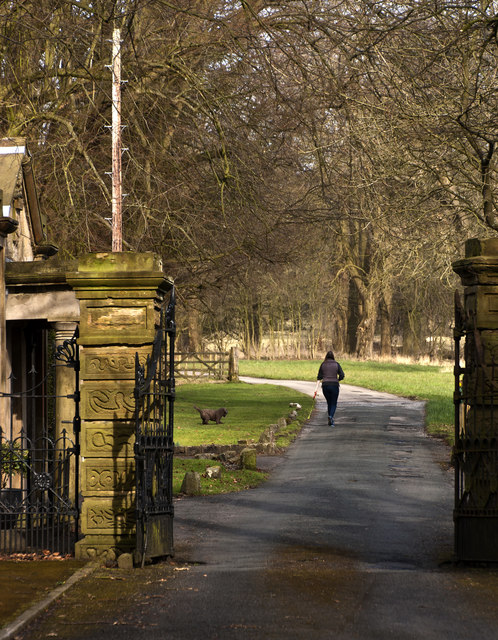
A network of well-maintained footpaths weaves its way through Haslost Wood, allowing visitors to explore and appreciate its hidden wonders. The trails lead to several notable features, including a babbling brook that meanders through the forest, adding to the tranquility of the surroundings. Scattered throughout the woodland, there are also several cozy picnic spots, inviting visitors to relax and enjoy a leisurely lunch amidst the peaceful ambiance.

Haslost Wood is a cherished natural gem in Lancashire, attracting both locals and tourists who seek solace in nature. Its accessibility, combined with its serene atmosphere and abundant wildlife, makes this forest a popular destination for those looking to escape the hustle and bustle of everyday life and immerse themselves in the beauty of the natural world.

If you have any feedback on the listing, please let us know in the comments section below.
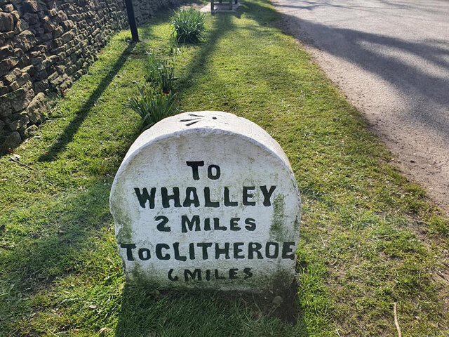
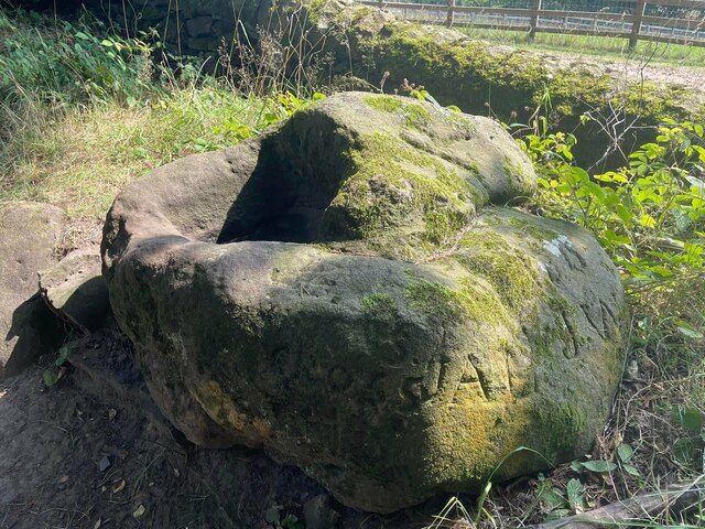
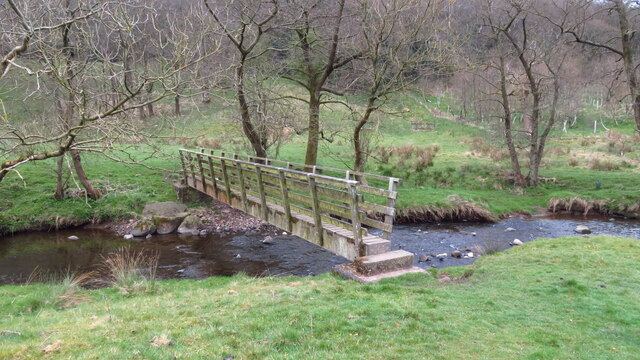
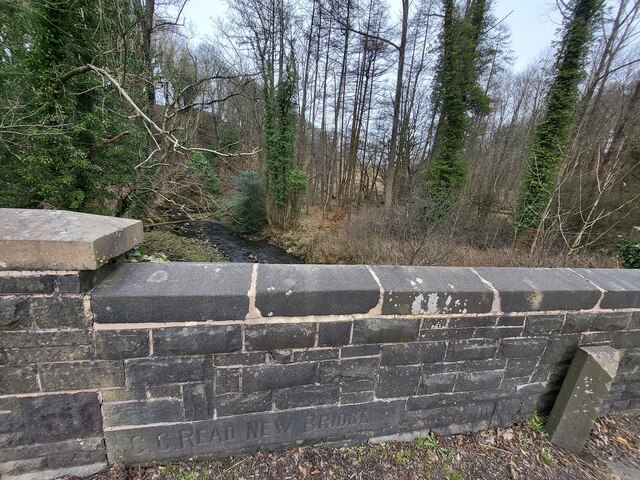
Haslost Wood Images

Images are sourced within 2km of 53.815368/-2.3565946 or Grid Reference SD7635. Thanks to Geograph Open Source API. All images are credited.

Old Milestone, Read Currently located in Whins Lane, Read. 

Inscription: To / Whalley / 2 Miles / To Clitheroe / 6 Miles // 
             To / Padiham / 2 Miles / to Burnley / 3½ Miles

Milestone Society National ID: LA_BUCL06
Old Milestone, Read
Currently located in Whins Lane, Read. Inscription: To / Whalley / 2 Miles / To Clitheroe / 6 Miles // To / Padiham / 2 Miles / to Burnley / 3½ Miles Milestone Society National ID: LA_BUCL06
Old Wayside Cross off Trapp Lane Simon's Cross, the base of a wayside cross. Set beside a footpath leaving a gate on the east side of Trapp Lane on the boundary of Simonstone and Read parishes. See also  <span class="nowrap"><a title="https://thejournalofantiquities.com/2016/06/15/simons-cross-simonstone-near-padiham-lancashire/" rel="nofollow ugc noopener" href="https://thejournalofantiquities.com/2016/06/15/simons-cross-simonstone-near-padiham-lancashire/">Link</a><img style="margin-left:2px;" alt="External link" title="External link - shift click to open in new window" src="https://s1.geograph.org.uk/img/external.png" width="10" height="10"/></span> and <a title="https://www.geograph.org.uk/photo/1122007" href="https://www.geograph.org.uk/photo/1122007">Link</a>.

Milestone Society National ID: LARV_SIM
Old Wayside Cross off Trapp Lane
Simon's Cross, the base of a wayside cross. Set beside a footpath leaving a gate on the east side of Trapp Lane on the boundary of Simonstone and Read parishes. See also LinkExternal link and Link. Milestone Society National ID: LARV_SIM
Footbridge over Sabden Brook below Hodgeon Stone Plantation
Old Bridge Marker on the A671 Whalley Road Bridge Marker set in the parapet of Read New Bridge, Sabden Brook, next to boundary marker LA_BUCL06pb, on the north side of the A671 Whalley Road. On the boundary of Whalley and Read parishes.

Milestone Society National ID: LA_WHAREA01br
Old Bridge Marker on the A671 Whalley Road
Bridge Marker set in the parapet of Read New Bridge, Sabden Brook, next to boundary marker LA_BUCL06pb, on the north side of the A671 Whalley Road. On the boundary of Whalley and Read parishes. Milestone Society National ID: LA_WHAREA01br
Village Signpost on the A671 Whalley Road near Read New Bridge Located on the northeast side of the A671 Whalley Road at the east end of Read New Bridge in Read parish. 

Milestone Society National ID: LA_SD7434V
Village Signpost on the A671 Whalley Road near Read New Bridge
Located on the northeast side of the A671 Whalley Road at the east end of Read New Bridge in Read parish. Milestone Society National ID: LA_SD7434V
Village Signpost on the A671 Whalley Road on Read New Bridge Located on the southwest side of the A671 Whalley Road on Read New Bridge in Read parish. 

Milestone Society National ID: LA_SD7434W
Village Signpost on the A671 Whalley Road on Read New Bridge
Located on the southwest side of the A671 Whalley Road on Read New Bridge in Read parish. Milestone Society National ID: LA_SD7434W
Footpath off Carleton Road The entrance leading to the footpath from Carleton road Simonstone.
Footpath off Carleton Road
The entrance leading to the footpath from Carleton road Simonstone.
Gate for path off Clerk Hill Road The gate for the footpath on Clerk Hill Road leading to Lower Clerk Hill and Hollins Farm.
Gate for path off Clerk Hill Road
The gate for the footpath on Clerk Hill Road leading to Lower Clerk Hill and Hollins Farm.
Gate on Clerk Hill Road The gateway just past Wiswell Moor Houses on Clerk Hill Road, a view of this gate from the opposite direction can be seen here - <a title="https://www.geograph.org.uk/photo/3358541" href="https://www.geograph.org.uk/photo/3358541">Link</a>.  Description regarding footpaths here -<a title="https://www.geograph.org.uk/photo/2266920" href="https://www.geograph.org.uk/photo/2266920">Link</a>
Gate on Clerk Hill Road
The gateway just past Wiswell Moor Houses on Clerk Hill Road, a view of this gate from the opposite direction can be seen here - Link. Description regarding footpaths here -Link
The fields south of Whalley Road
This takes a bit of mowing
The path northeast through Read Park Alexander Nowell who was born in Read Hall in the Elizabethan age is reputed to have been the inventor of bottled beer. This photo was taken with appropriate reverence.
The path northeast through Read Park
Alexander Nowell who was born in Read Hall in the Elizabethan age is reputed to have been the inventor of bottled beer. This photo was taken with appropriate reverence.
The Old Roman Road
The Old Roman Road
Wiswell Moor
Wiswell Moor
A stile and footpath opposite Laneside Farm
Whins Brook
Whins Brook
A tree and a couple of stumps on the moor
Sabden Brook downstream
Show me another place!

Haslost Wood is located at Grid Ref: SD7635 (Lat: 53.815368, Lng: -2.3565946)

Administrative County: Lancashire

District: Ribble Valley

Police Authority: Lancashire

What 3 Words

///chucks.imported.diets. Near Sabden, Lancashire

Related Wikis

Read Hall and Park

Read Hall and Park is a manor house with ornamental grounds of about 450 acres (180 ha) in Whalley Road, Read, a few miles west of Padiham, Lancashire...

Read, Lancashire

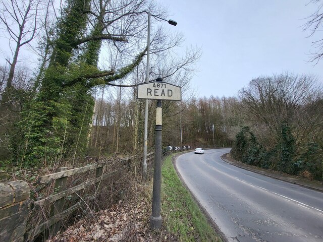
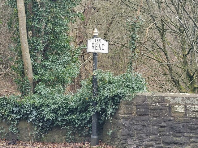
Read is a village in Lancashire 5 miles west northwest of Burnley and 2 miles east of Whalley. It is on the A671 which is the main road between Burnley...

Simonstone, Lancashire

Simonstone is a small village and civil parish in the Ribble Valley district of Lancashire, England. The population of the civil parish taken at the 2011...

Huntroyde Hall

Huntroyde Hall is a grade II listed, 16th-century house in the civil parish of Simonstone in the Borough of Ribble Valley, Lancashire, England. Its estate...

Portfield Hillfort

Portfield also known as Planes Wood Camp is a late Bronze Age or Iron Age hillfort situated close to the town of Whalley in Lancashire, Northern England...

Simonstone railway station

Simonstone railway station was located on the east side of Simonstone Lane, 0.75 miles (1 km) south of Simonstone centre and near Padiham, Lancashire,...

Martholme

Martholme is a Grade I listed medieval manor house standing on the banks of the River Calder 1+1⁄4 miles (2 km) from Great Harwood, Lancashire, England...

Martholme Viaduct

Martholme Viaduct is a 19th-century railway viaduct in the English county of Lancashire. It lies between the town of Great Harwood and the village of Read...

Nearby Amenities

Located within 500m of 53.815368,-2.3565946
Haslost wood
Natural: wood
Source: OS_OpenData_StreetView
Lat/Long: 53.8148799/-2.3585564
The data included in this document is from www.openstreetmap.org. The data is made available under ODbL.

Have you been to Haslost Wood?

Leave your review of Haslost Wood below (or comments, questions and feedback).