Pheasantry Plantation
Wood, Forest in Yorkshire Ribble Valley
England
Pheasantry Plantation
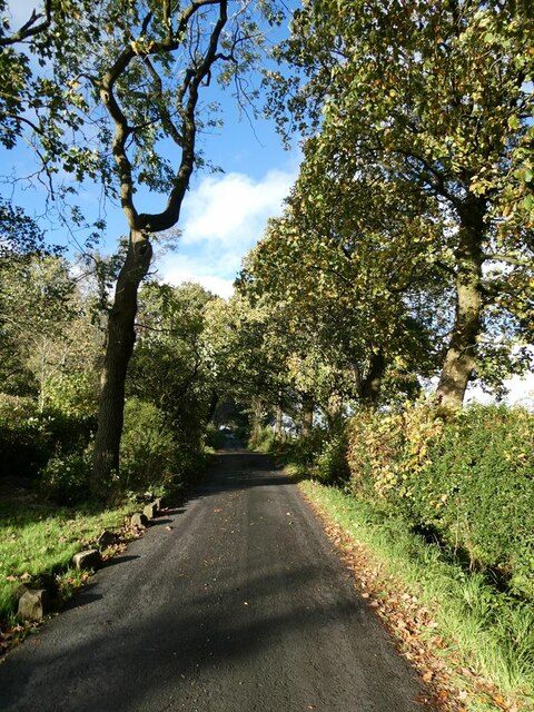
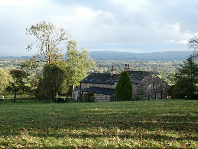
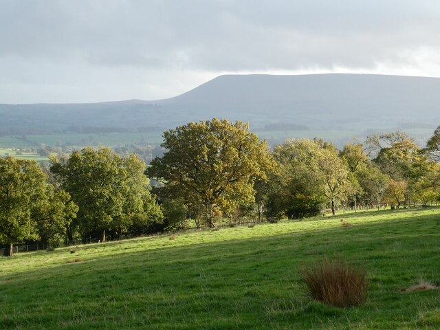
Pheasantry Plantation is a beautiful woodland located within the Yorkshire Dales National Park in Yorkshire, England. Covering an area of approximately 150 hectares, this plantation is known for its diverse range of flora and fauna, making it a popular destination for nature enthusiasts and outdoor lovers.
The woodland is primarily composed of mixed broadleaf trees, including oak, birch, and beech, creating a vibrant and picturesque landscape throughout the year. The plantation is carefully managed to maintain its natural beauty and ecological balance, providing a habitat for a wide variety of wildlife.
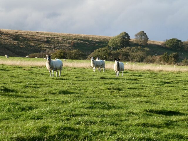
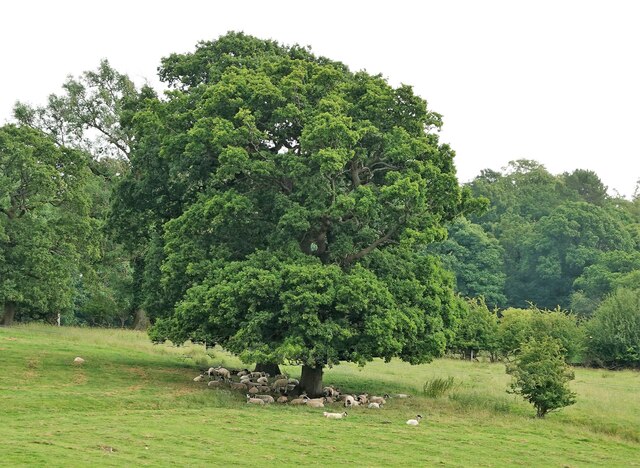
Visitors to Pheasantry Plantation can enjoy a range of activities such as walking, cycling, and birdwatching. The woodland is home to an array of bird species, including pheasants, woodpeckers, and owls, which can often be spotted amongst the trees. Deer are also known to roam the area, adding to the charm and tranquility of the woodland.
The plantation offers well-maintained walking trails that wind through the woodland, allowing visitors to explore the beauty of the surroundings at their own pace. These trails are suitable for all abilities, making it an ideal location for families and individuals of all ages.
Pheasantry Plantation is easily accessible, with a car park available for visitors. The woodland is open year-round and free to enter, providing a peaceful retreat from the hustle and bustle of everyday life. Whether you're a nature lover, a keen photographer, or simply looking for a place to unwind, Pheasantry Plantation offers a truly enchanting experience in the heart of Yorkshire.
If you have any feedback on the listing, please let us know in the comments section below.
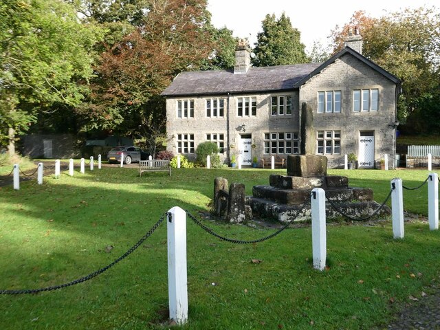
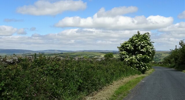
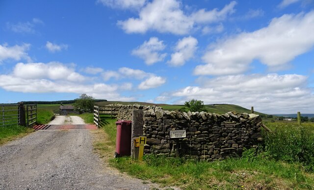
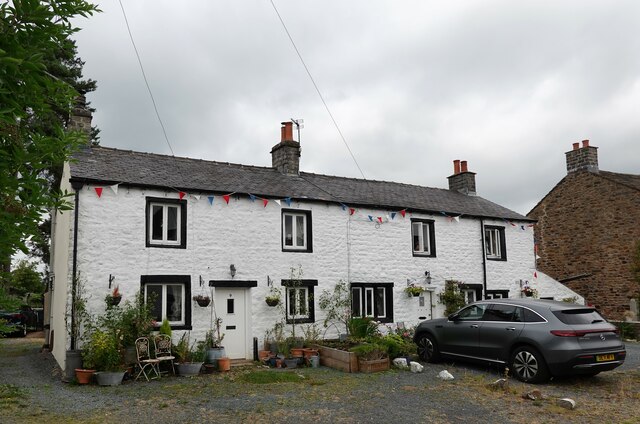
Pheasantry Plantation Images
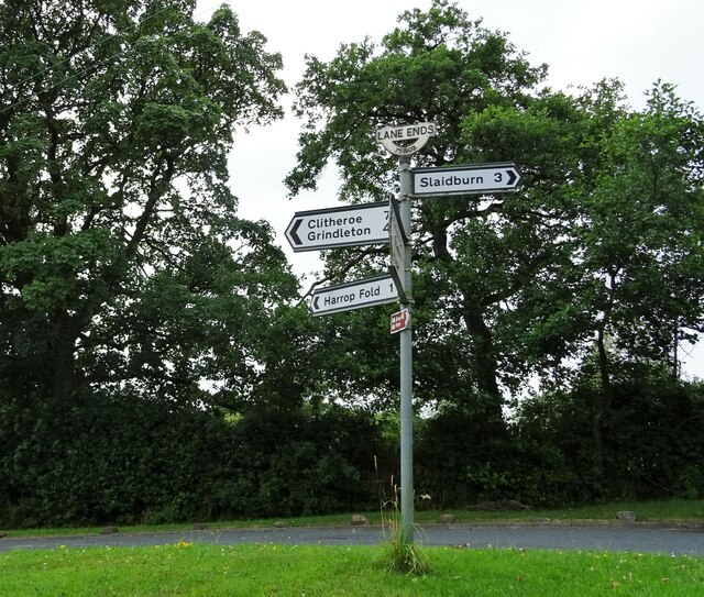
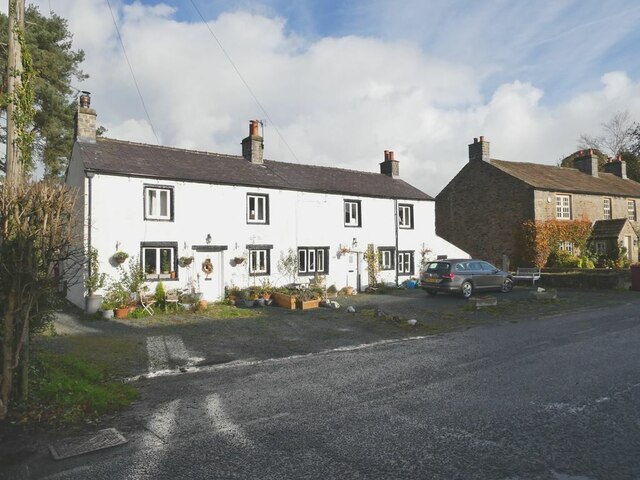
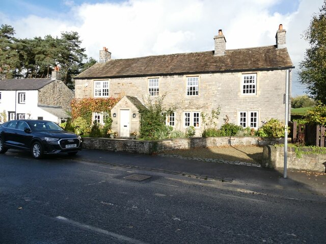
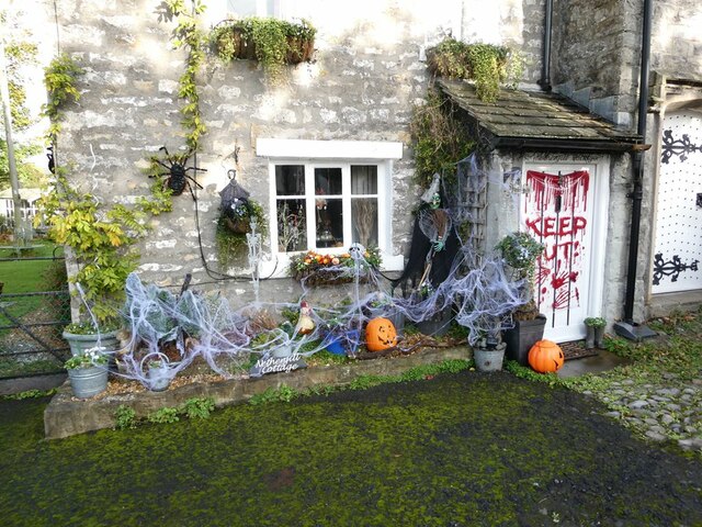
Images are sourced within 2km of 53.946394/-2.3531109 or Grid Reference SD7650. Thanks to Geograph Open Source API. All images are credited.


Pheasantry Plantation is located at Grid Ref: SD7650 (Lat: 53.946394, Lng: -2.3531109)
Division: West Riding
Administrative County: Lancashire
District: Ribble Valley
Police Authority: Lancashire
What 3 Words
///instincts.booster.wizards. Near Chatburn, Lancashire
Nearby Locations
Related Wikis

Bolton-by-Bowland
Bolton-by-Bowland is a village and civil parish in the Ribble Valley district of Lancashire, England. Before 1974, the village was part of Bowland Rural...

St Peter and St Paul's Church, Bolton-by-Bowland
St Peter and St Paul's Church is in Gisburn Road, Bolton-by-Bowland, Lancashire, England. It is an active Anglican parish church in the deanery of Whalley...

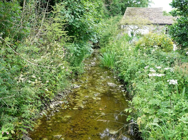
Skirden Beck
Skirden Beck is a minor river in Lancashire, England (historically in the West Riding of Yorkshire). It is approximately 4.3 miles (6.85 km) long and has...

Sawley, Lancashire
Sawley is a village and civil parish in the Borough of Ribble Valley in Lancashire, England. The population of the civil parish was 305 at the 2001 Census...
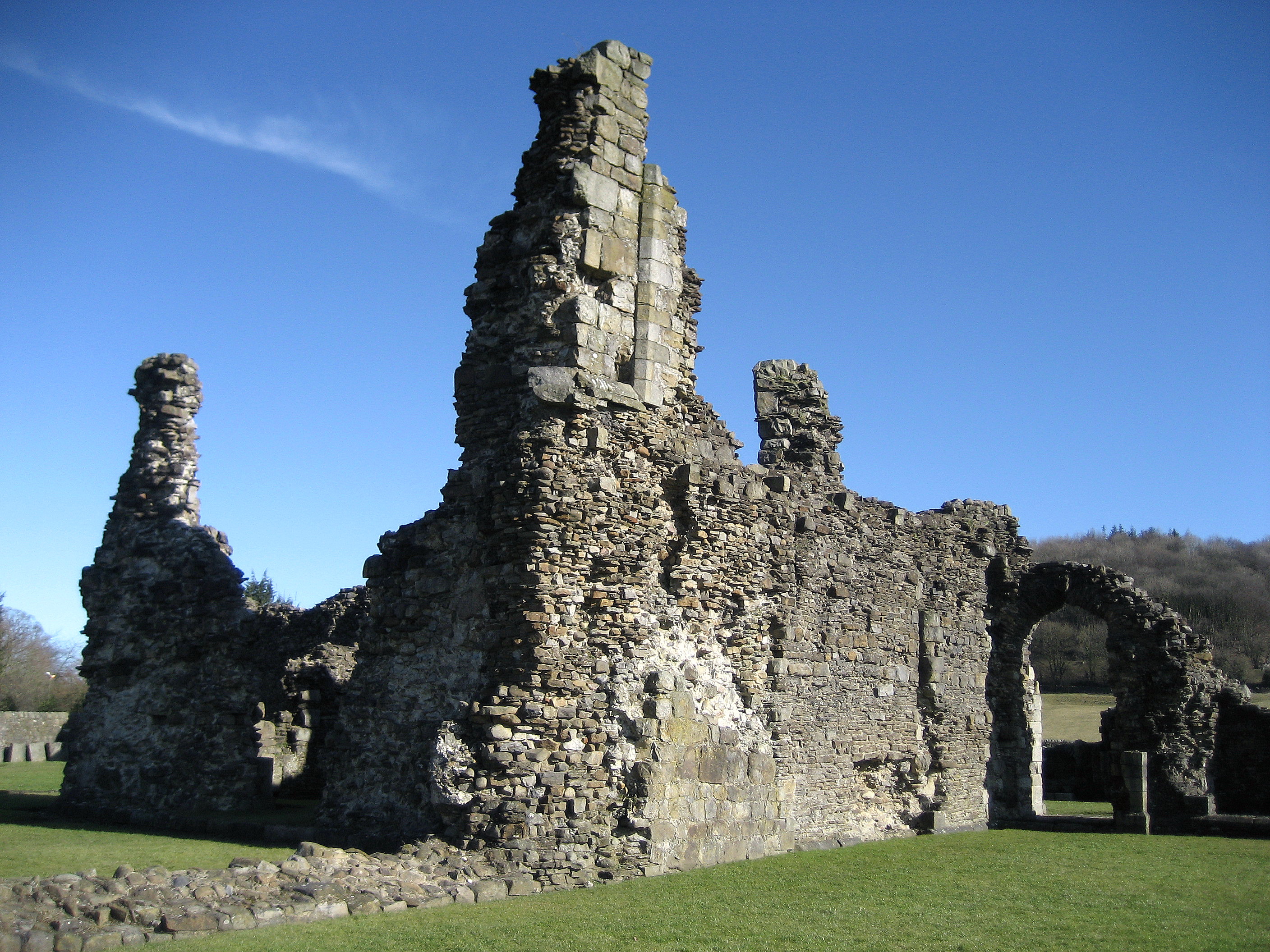
Sawley Abbey
Sawley Abbey was an abbey of Cistercian monks in the village of Sawley, Lancashire, in England (and historically in the West Riding of Yorkshire). Created...

Bowland High
Bowland High is a coeducational secondary school with academy status, located in Grindleton in Lancashire, England. It educates pupils from ages 11–16...

Easington Fell
Easington Fell is a Marilyn in the Forest of Bowland in Lancashire, England. It has been surveyed to be 70 cm higher than a nearby fell of almost identical...

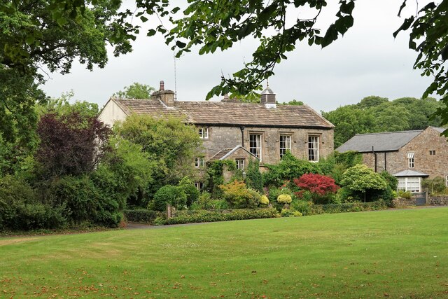
Manor House, Gisburn Forest
Manor House is an historic building in Gisburn Forest, Lancashire, England. It was built in the early 18th century, but contains a section that is believed...
Nearby Amenities
Located within 500m of 53.946394,-2.3531109Have you been to Pheasantry Plantation?
Leave your review of Pheasantry Plantation below (or comments, questions and feedback).