Blake Beck Wood
Wood, Forest in Yorkshire South Lakeland
England
Blake Beck Wood

Blake Beck Wood is a picturesque and diverse woodland located in the county of Yorkshire, England. Situated near the village of Blake Beck, this beautiful forest covers an area of approximately 100 hectares. The woodland is known for its lush greenery, varied wildlife, and tranquil atmosphere, making it a popular destination for nature enthusiasts and hikers alike.
The wood is predominantly composed of broadleaf trees, including oak, birch, and beech, which provide a stunning canopy overhead. These trees create a vibrant and ever-changing landscape throughout the seasons, with bursts of vibrant colors in the autumn and a fresh green hue in the spring.
Blake Beck Wood is also home to a diverse range of wildlife. Visitors may be lucky enough to spot elusive creatures such as deer, foxes, and badgers roaming through the undergrowth. The forest is also a haven for birdwatchers, with a variety of species including woodpeckers, owls, and thrushes. The peaceful environment of the wood provides an ideal habitat for these animals, making it a prime location for wildlife enthusiasts.
For those looking to explore the woodland, there are several well-maintained walking trails that meander through the forest. These paths offer stunning views of the surrounding countryside, as well as opportunities to discover hidden glades and babbling brooks. Along the trails, informative signposts provide interesting facts about the flora and fauna found within the wood.
Overall, Blake Beck Wood is a natural gem in Yorkshire, offering visitors a chance to immerse themselves in the beauty of nature and experience the tranquility of a traditional English woodland.
If you have any feedback on the listing, please let us know in the comments section below.
Blake Beck Wood Images
Images are sourced within 2km of 54.264653/-2.3558272 or Grid Reference SD7685. Thanks to Geograph Open Source API. All images are credited.


Blake Beck Wood is located at Grid Ref: SD7685 (Lat: 54.264653, Lng: -2.3558272)
Division: West Riding
Administrative County: Cumbria
District: South Lakeland
Police Authority: Cumbria
What 3 Words
///described.treble.wager. Near Sedbergh, Cumbria
Nearby Locations
Related Wikis
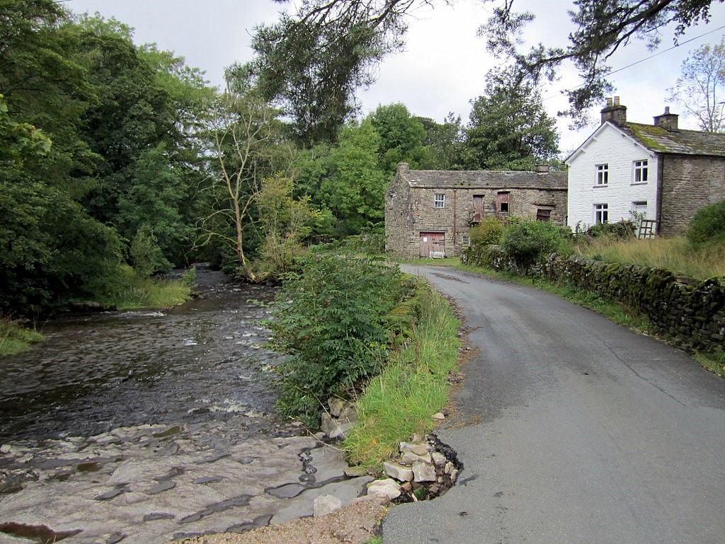
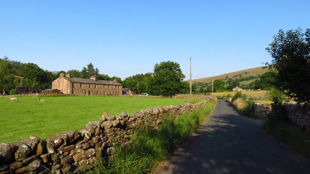
Stone House, Cumbria
Stone House is a locality at Dent Head on the River Dee, in the county of Cumbria, England, to the south-east of Cowgill and to the north-west of Newby...

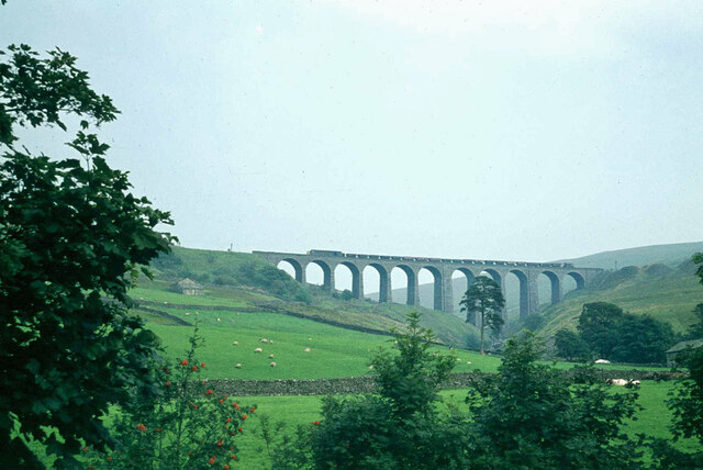
Arten Gill Viaduct
Arten Gill Viaduct is an eleven-arch railway bridge in Dentdale, Cumbria, England. The viaduct carries the Settle to Carlisle railway line over Artengill...

Dent Head Viaduct
Dent Head Viaduct is a railway viaduct on the Settle–Carlisle line in Dentdale, Cumbria, England. It is the second major viaduct on the line northwards...

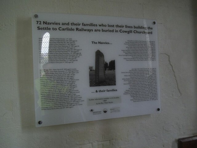
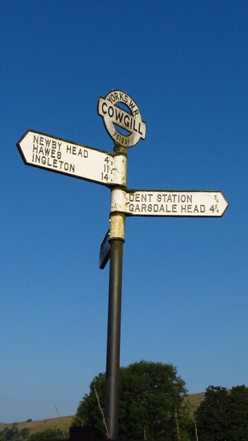
Cowgill, Cumbria
Cowgill is a village in Westmorland and Furness, Cumbria, England. It is within the historic boundaries of the West Riding of Yorkshire, and is located...

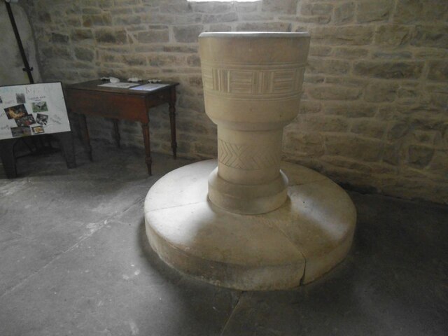
St John the Evangelist's Church, Cowgill
St John the Evangelist's Church is the Church of England parish church of the village of Cowgill, Cumbria, England. It is in the deanery of Kendal, the...

Dent railway station
Dent is a railway station on the Settle and Carlisle Line, which runs between Carlisle and Leeds via Settle. The station, situated 58 miles 29 chains...
Great Knoutberry Hill
Great Knoutberry Hill, also commonly known as Widdale Fell, is a mountain located near Dent at the heads of Ribblesdale, Dentdale and Wensleydale, in the...
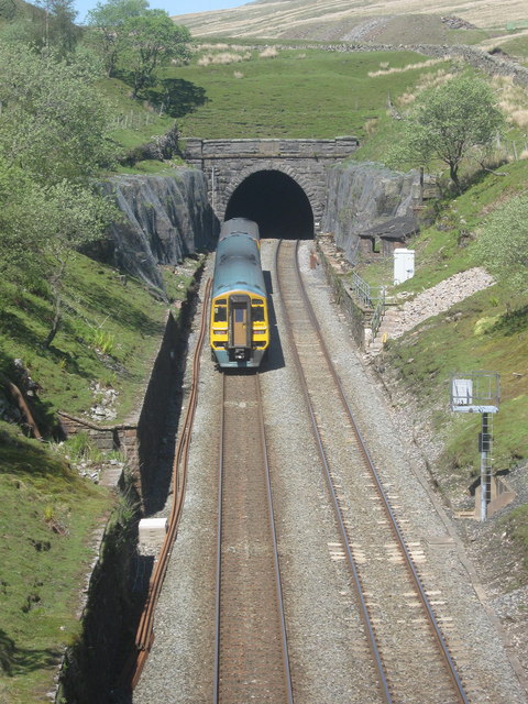
Blea Moor Tunnel
Blea Moor Tunnel is a 2,629 yards (1.494 mi)(2,404 m) railway tunnel located between Ribblehead Viaduct and Dent railway station in England. It is the...
Nearby Amenities
Located within 500m of 54.264653,-2.3558272Have you been to Blake Beck Wood?
Leave your review of Blake Beck Wood below (or comments, questions and feedback).