Ashmead Covert
Wood, Forest in Gloucestershire Stroud
England
Ashmead Covert
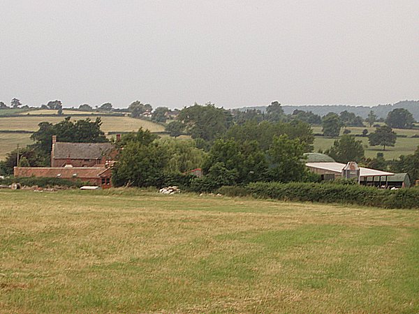
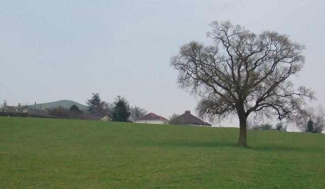
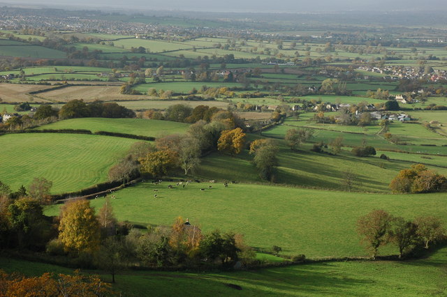
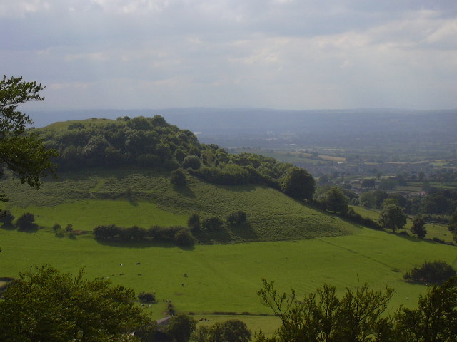
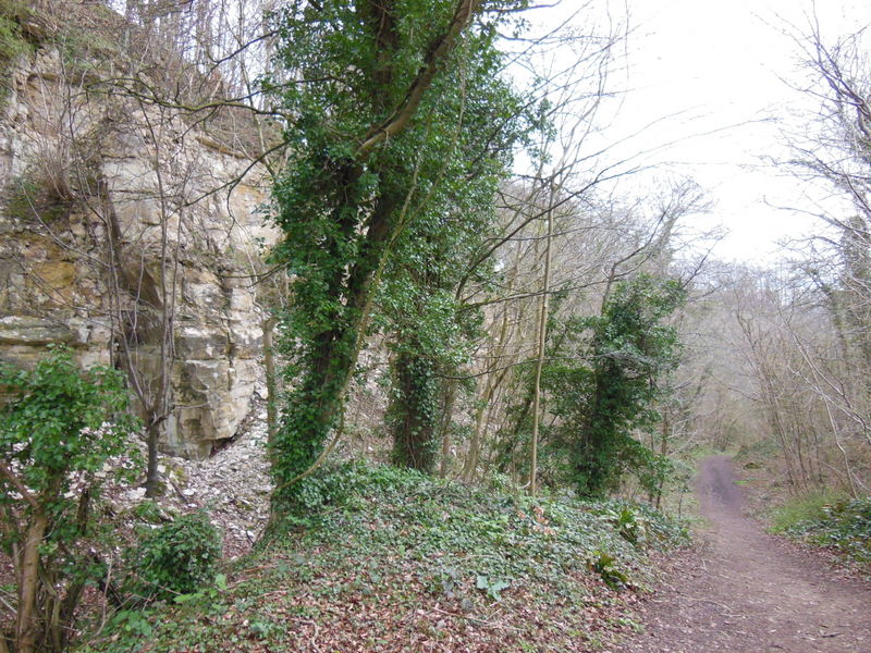
Ashmead Covert is a small woodland area located in Gloucestershire, England. Situated within the Forest of Dean, it is renowned for its picturesque scenery and rich biodiversity. Covering an area of approximately 200 acres, Ashmead Covert is a haven for nature lovers and outdoor enthusiasts.
The woodland is predominantly made up of deciduous trees, including oak, beech, and ash, which provide a vibrant display of colors throughout the year. The forest floor is covered with a thick carpet of mosses, ferns, and wildflowers, adding to its natural beauty.
Ashmead Covert is home to a wide range of wildlife, including various bird species such as woodpeckers, tawny owls, and buzzards. Mammals such as deer, badgers, and foxes can also be spotted in the area. The woodland provides a habitat for numerous insects, including butterflies and beetles, contributing to the overall biodiversity of the region.
The woodland offers several walking trails, allowing visitors to explore its natural wonders. These trails vary in length and difficulty, catering to both casual strollers and avid hikers. The peaceful atmosphere and tranquility of Ashmead Covert make it an ideal destination for nature walks, picnics, and photography.
In addition to its recreational value, Ashmead Covert plays an important role in conservation efforts. The forest is actively managed to preserve its natural ecosystem and protect the native flora and fauna.
Overall, Ashmead Covert, Gloucestershire, is a stunning woodland area that offers a unique blend of natural beauty, wildlife, and recreational opportunities. It is a cherished destination for locals and visitors alike, providing a much-needed escape into nature.
If you have any feedback on the listing, please let us know in the comments section below.
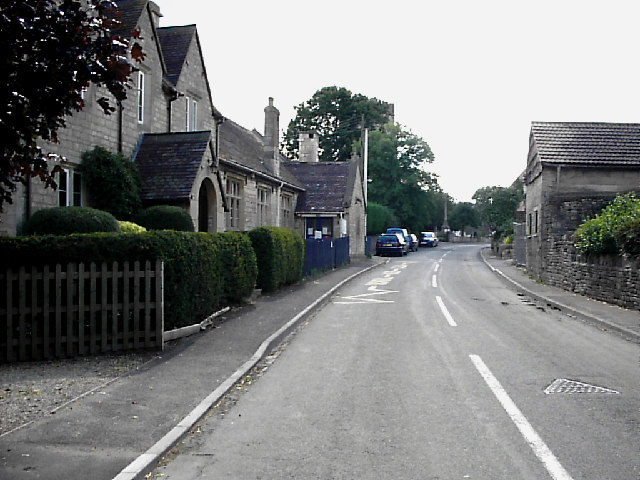
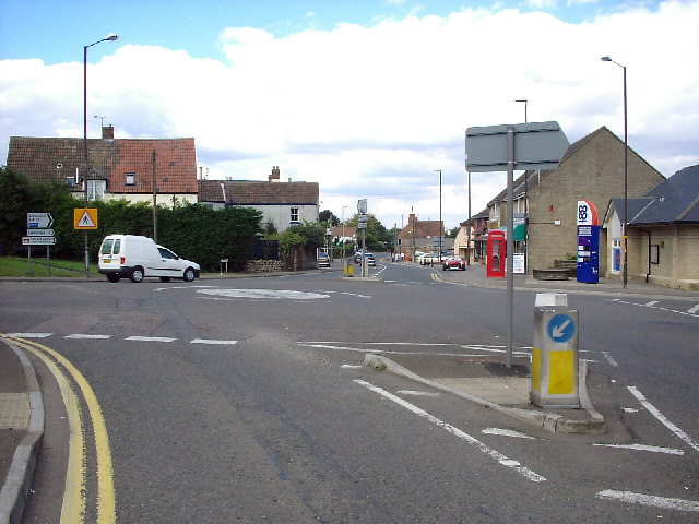
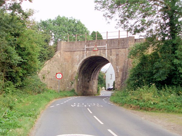
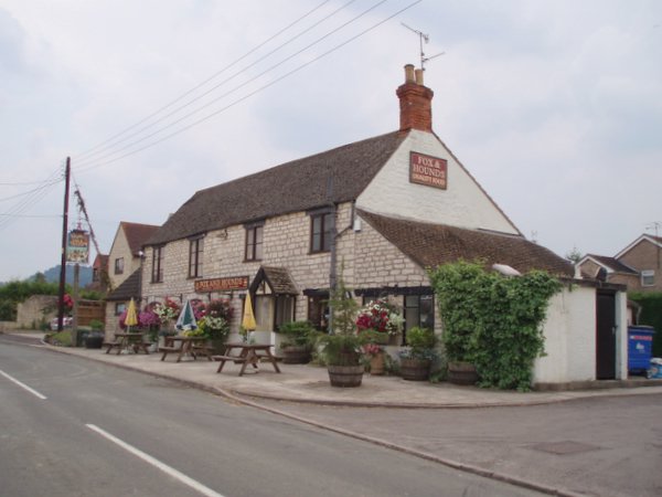
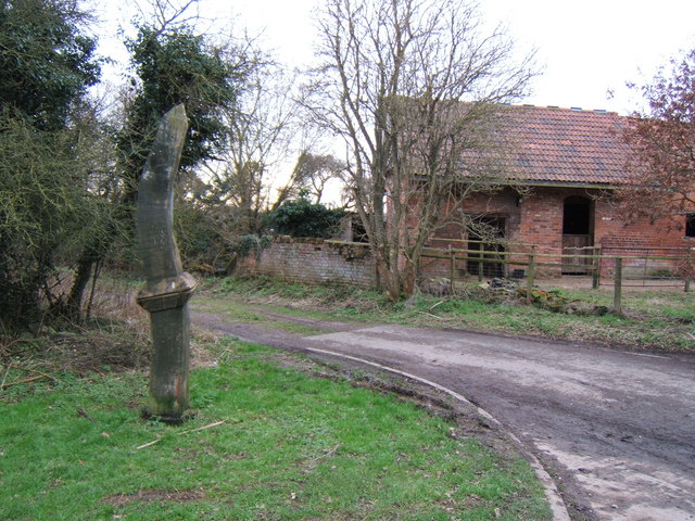
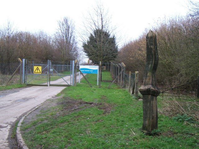
Ashmead Covert Images
Images are sourced within 2km of 51.703489/-2.3356583 or Grid Reference SO7600. Thanks to Geograph Open Source API. All images are credited.


Ashmead Covert is located at Grid Ref: SO7600 (Lat: 51.703489, Lng: -2.3356583)
Administrative County: Gloucestershire
District: Stroud
Police Authority: Gloucestershire
What 3 Words
///modules.visitors.newsprint. Near Dursley, Gloucestershire
Nearby Locations
Related Wikis
Coaley
Coaley is a village in the English county of Gloucestershire roughly 4 miles from the town of Dursley, and 5 miles from the town of Stroud. The village...

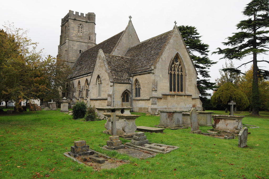
Parish Church of St George
The Parish Church of St George (Church of England) in the village of Cam, Gloucestershire, is an Anglican establishment situated in a slightly elevated...

Cam railway station
Cam railway station served the village of Cam in Gloucestershire, England. The station was on the short Dursley and Midland Junction Railway line which...
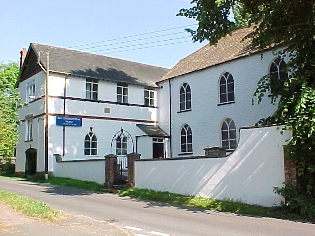
Cam Congregational Church
Cam Congregational Church in the village of Upper Cam near the market town of Dursley, Gloucestershire. Founded in 1662, and originally known as Cam Independent...
Coaley Wood Quarries
Coaley Wood Quarries (grid reference ST786996) is a 4.85-hectare (12.0-acre) geological Site of Special Scientific Interest in Gloucestershire, notified...

Cam, Gloucestershire
Cam is a large village and civil parish in Gloucestershire, England, situated on the edge of the Cotswolds and contiguous with the town of Dursley, north...

Vale Community Hospital
Vale Community Hospital is a community hospital in Lister Road, Dursley, Gloucestershire, England. It is managed by Gloucestershire Health and Care NHS...

Uley Long Barrow
Uley Long Barrow, also known locally as Hetty Pegler's Tump, is a Neolithic burial mound, near the village of Uley, Gloucestershire, England. == Details... ==
Nearby Amenities
Located within 500m of 51.703489,-2.3356583Have you been to Ashmead Covert?
Leave your review of Ashmead Covert below (or comments, questions and feedback).