Long Belt
Wood, Forest in Cheshire
England
Long Belt
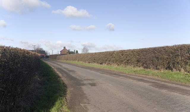
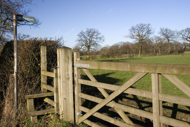
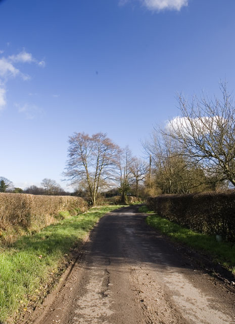
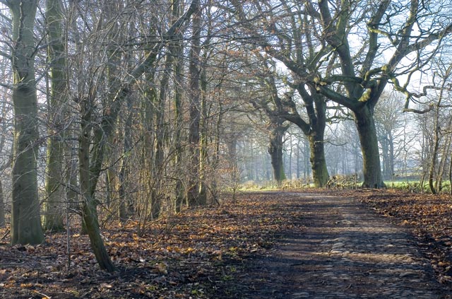
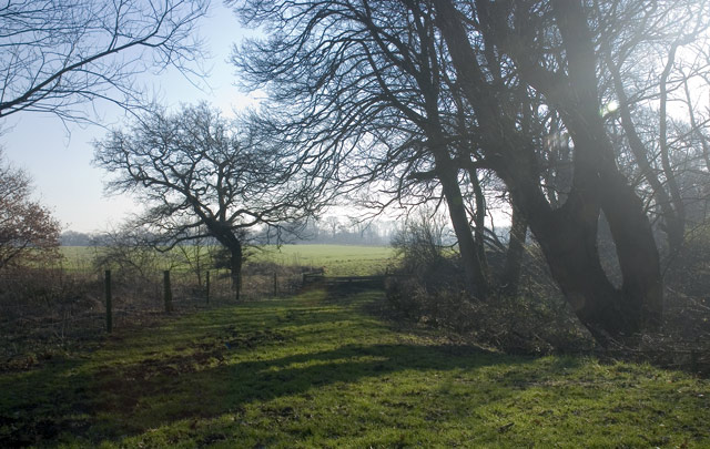
Located in the county of Cheshire, Long Belt is a picturesque woodland area known for its natural beauty and serene atmosphere. Situated near the village of Tarporley, this forested area stretches for several miles, encompassing a diverse range of flora and fauna.
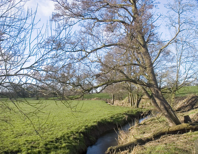
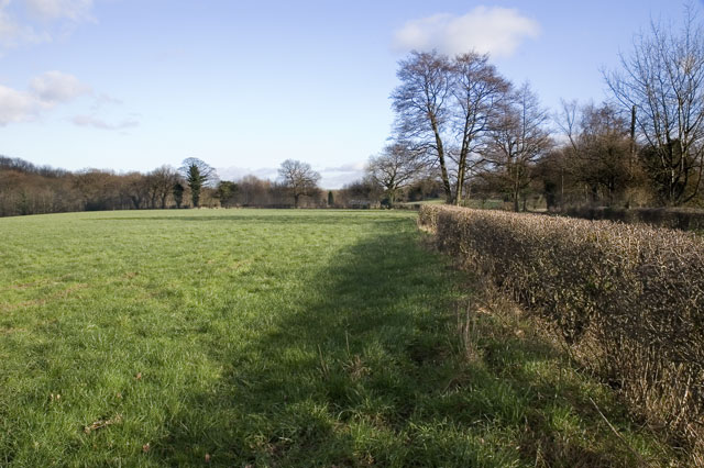
Long Belt boasts a mixture of deciduous and coniferous trees, including oak, birch, beech, and pine, which create a lush green canopy overhead. The forest floor is covered with a rich layer of moss, ferns, and wildflowers, providing a habitat for a wide variety of insects, birds, and small mammals.
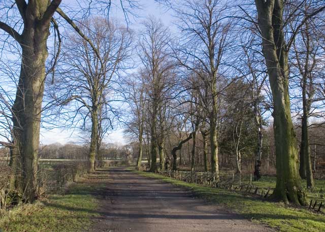
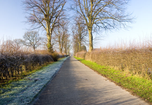
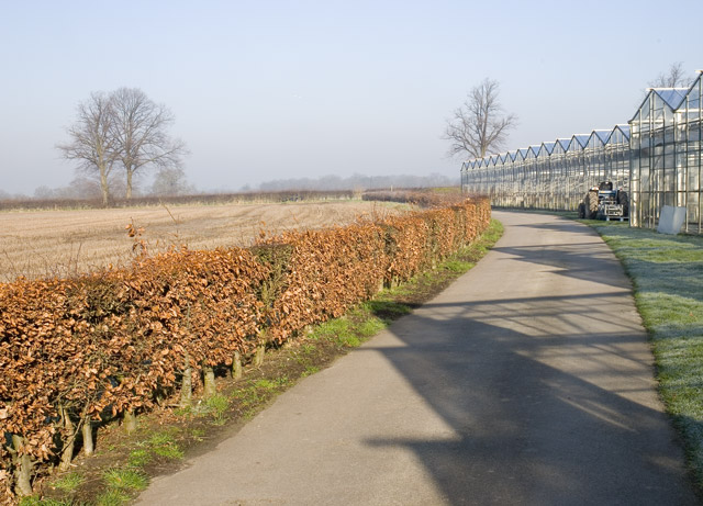
A network of well-maintained walking trails allows visitors to explore the area at their own pace, immersing themselves in the peaceful surroundings. The paths wind through the forest, providing glimpses of babbling brooks, small ponds, and hidden clearings, adding to the enchanting ambiance.
Long Belt is a popular destination for nature lovers and outdoor enthusiasts, offering opportunities for hiking, wildlife observation, and photography. The forest is particularly beautiful during the autumn months when the leaves change color, creating a vibrant and captivating landscape.
Managed by local authorities, Long Belt ensures the preservation of its natural habitat while providing a safe and accessible space for visitors. The area is also home to a variety of protected species, including the red squirrel and various birds of prey, making it an important conservation site.
Overall, Long Belt in Cheshire is a haven for those seeking tranquility and a deep connection with nature. Its idyllic charm and diverse ecosystem make it a must-visit destination for anyone looking to escape the hustle and bustle of everyday life.
If you have any feedback on the listing, please let us know in the comments section below.
Long Belt Images
Images are sourced within 2km of 53.25484/-2.3483002 or Grid Reference SJ7673. Thanks to Geograph Open Source API. All images are credited.


Long Belt is located at Grid Ref: SJ7673 (Lat: 53.25484, Lng: -2.3483002)
Unitary Authority: Cheshire East
Police Authority: Cheshire
What 3 Words
///rope.storage.newer. Near Peover Superior, Cheshire
Nearby Locations
Related Wikis

St Lawrence's Church, Over Peover
St Lawrence's Church, Over Peover is in the civil parish of Peover Superior. Close to Peover Hall and farm. It lies some 3 miles (5 km) south of the...

Peover Hall Stable Block
Peover Hall Stable Block is in the grounds of Peover Hall, Cheshire, England. It is recorded in the National Heritage List for England as a designated...

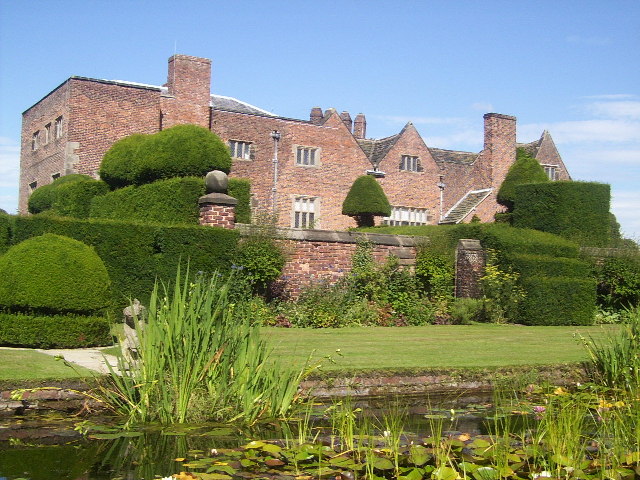
Peover Hall
Peover Hall ( PEE-vər) is a country house in the civil parish of Peover Superior, commonly known as Over Peover, Cheshire, England. It is recorded in...
Peover Superior
Peover Superior is a former civil parish, now in the parish of Peover Superior and Snelson, in the unitary authority area of Cheshire East and the ceremonial...

Peover
Peover ( PEE-vər) is a rural area in Cheshire, England straddling the boundary of Cheshire West and Cheshire East. It is southwest of Chelford and northwest...

St Oswald's Church, Padgate
St Oswald's Church is an active Roman Catholic church in the Padgate suburb of Warrington, Cheshire, England. The parish was founded by Benedictine monks...
Radbroke Hall
Radbroke Hall is a white French chateau-style former country house in Peover Superior, Cheshire, England. It takes its name from the Red Brook stream that...

Colshaw Hall
Colshaw Hall is a large house in Peover Superior, Cheshire, England. It is recorded in the National Heritage List for England as a designated Grade II...
Nearby Amenities
Located within 500m of 53.25484,-2.3483002Have you been to Long Belt?
Leave your review of Long Belt below (or comments, questions and feedback).