Town Coppice
Wood, Forest in Worcestershire Wyre Forest
England
Town Coppice
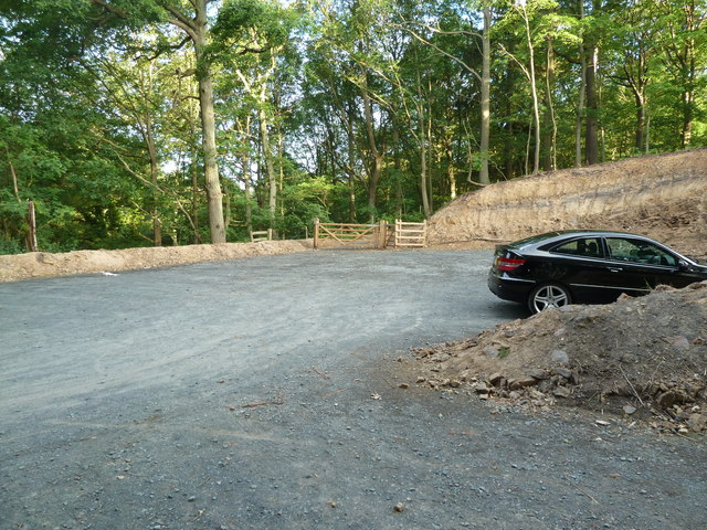
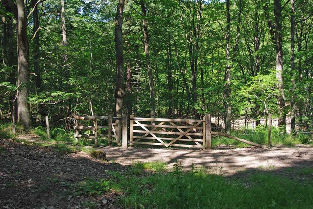
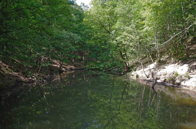
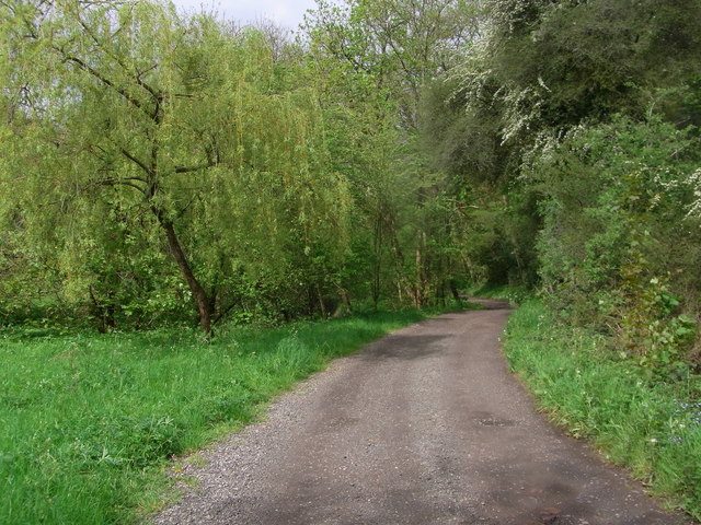
Town Coppice is a small woodland area located in Worcestershire, England. Situated near the town of Bewdley, it covers an area of approximately 10 acres. The woodland is characterized by its dense and diverse vegetation, consisting mainly of native British tree species such as oak, ash, birch, and beech.
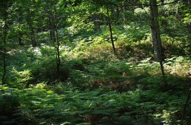
The forest is known for its tranquil and peaceful atmosphere, making it a popular destination for nature enthusiasts, hikers, and those seeking a quiet retreat from the bustling city life. It is also home to a variety of wildlife, including squirrels, rabbits, and a plethora of bird species, making it a haven for birdwatchers.
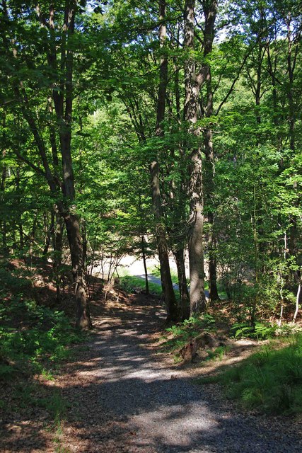
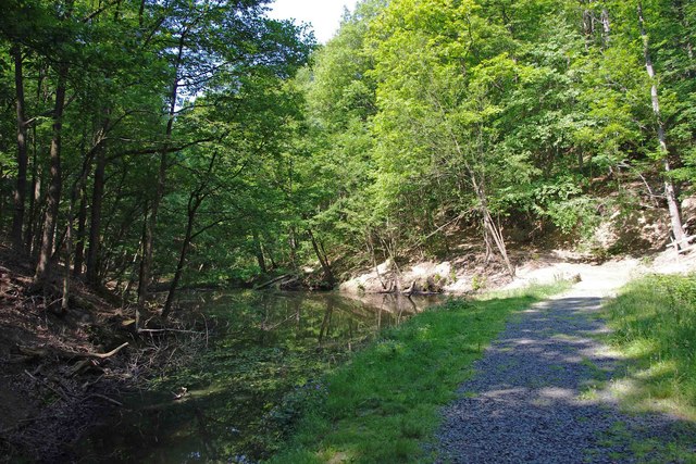
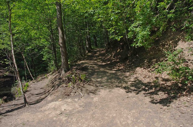
Town Coppice offers several walking trails, allowing visitors to explore the woodland's beauty at their own pace. The paths wind through the trees, offering glimpses of sunlight filtering through the branches, while the forest floor is carpeted with a rich variety of wildflowers and ferns.
The woodland is well-maintained, with regular conservation efforts in place to protect its natural habitat. Local authorities have implemented measures to preserve the biodiversity and ensure the sustainability of Town Coppice for future generations.
In addition to its natural beauty, Town Coppice also has historical significance. It is believed to have been used as a source of timber and firewood for nearby communities in the past. Today, it serves as a cherished natural asset, providing a serene and picturesque setting for visitors to enjoy the wonders of Worcestershire's woodlands.
If you have any feedback on the listing, please let us know in the comments section below.
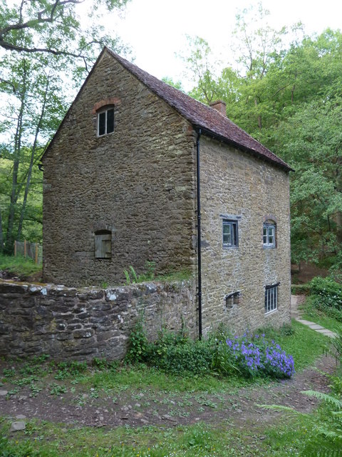
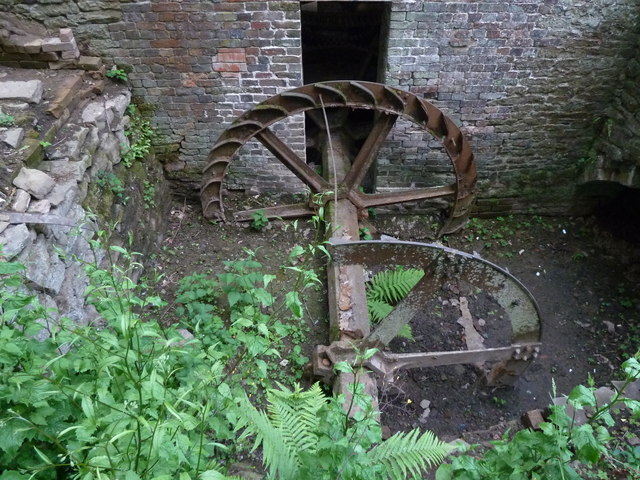
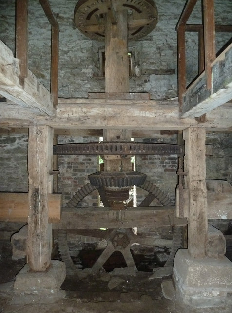
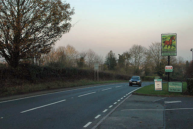
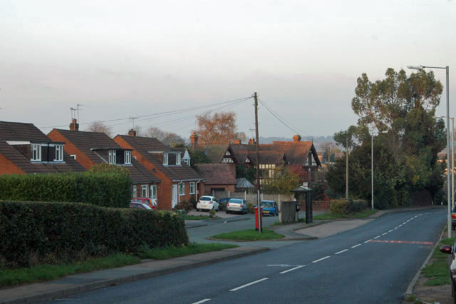
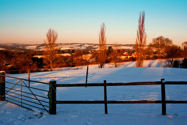
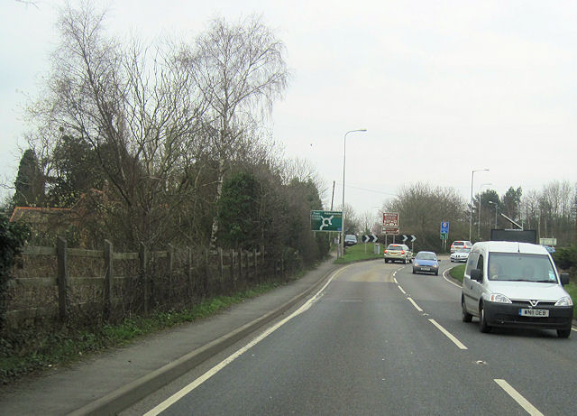
Town Coppice Images
Images are sourced within 2km of 52.381646/-2.3514177 or Grid Reference SO7676. Thanks to Geograph Open Source API. All images are credited.

Town Coppice is located at Grid Ref: SO7676 (Lat: 52.381646, Lng: -2.3514177)
Administrative County: Worcestershire
District: Wyre Forest
Police Authority: West Mercia
What 3 Words
///imprinted.dips.spilled. Near Bewdley, Worcestershire
Nearby Locations
Related Wikis

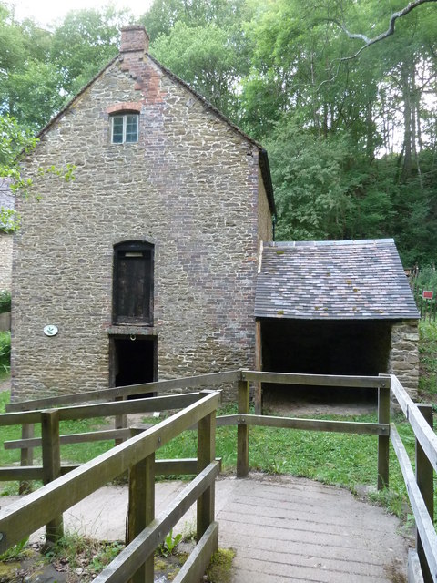
Knowles Mill
Knowles Mill is the remains of an eighteenth-century water-powered grain mill, located in the Wyre Forest in Worcestershire, England. The mill has been...

Wyre Forest
Wyre Forest is a large, semi-natural (partially unmanaged) woodland and forest measuring 26.34 square kilometres (10.17 sq mi) which straddles the borders...

Dowles
Dowles is a hamlet in the civil parish of Upper Arley, in the Wyre Forest district, in the county of Worcestershire, England. It is about 3 miles from...

Dowles Brook
Dowles Brook flows through the heart of the Wyre Forest, into the former civil parish of Dowles and into the River Severn. == History == In 1902, ornithologist...

Button Oak
Button Oak is a small village in the English county of Shropshire, England. It is 3 miles north west of Bewdley. Button Oak is very similar to nearby...

Northwood Halt railway station
Northwood Halt is an unstaffed request stop on the Severn Valley Railway in Worcestershire, situated a little to the north of Bewdley on the outskirts...

A456 road
Known as the Hagley Road in Birmingham, the A456 is a main road in England running between Central Birmingham and Woofferton, Shropshire, south of Ludlow...
Tickenhill Palace
Tickenhill Palace (also known as Tickenhill House or Tickenhall Manor) is a historic building in Bewdley, Worcestershire, England. It is a grade II* listed...
Related Videos

Walking Around Bewdley, Worcestershire, England Wednesday, 19th April 2023 #4k #walking
An afternoon walk around Bewdley, Worcestershire, England Videoed on Wednesday, 19th April 2023 © Mike Fairman 2023 ...

Exploring around the holiday camping park.
Subscribe.
Summer Breeze Afternoon Walk #Shorts
Afternoon walk Enjoying the Summer Breeze #Shorts #YouTube #Hiking.


Unleash Adventure: The Devils Spittleful, Bewdley, Worcestershire Hike
Embrace the Wild: Dive into Mud-filled Adventures on the Devils Spittleful, Bewdley, Worcestershire Hike! Unleash the Explorer ...

Cottage from 1650 with a Doorway Fit for a Hobbit!
Exploring Bewdley's Hidden Gem: Step into History with Us at This 1650 Cottage! 🕰️ Join our adventure as we discover the ...

Adventure is out there #viral #aesthetic #vlog #love #travel #reelitfeelit #tranding #dayout
Adventure is out there #viral #aesthetic #vlog #love #travel #reelitfeelit #tranding #dayout #beautifullandscapes #shanhaider #4k ...

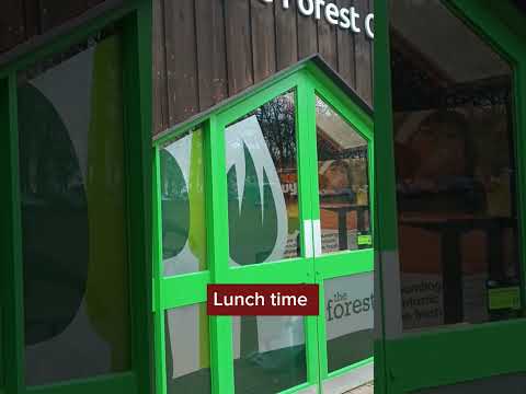
Exploring around in Wyre Forest
In today's vlog we went up to Wyre Forest in the Land Rover and had ourselves a nice lunch before heading out on a hike around ...

Along the Severn: Exploring Bewdley's Historic Beauty
Worcestershire Playlist: https://www.youtube.com/playlist?list=PL3rSdzPpvGrtld0Gg_4_R-AK7iurHudcN Map Location: ...

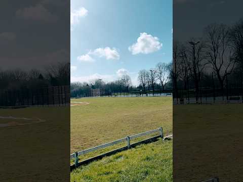
A Summertime Wander Around The Wyre Forest.
An Summertime evening visit to Callow Hill gave me the opportunity to have a little wander around the Wyre Forest Visitor Centre ...

Bewdley, May 2022, 4K60FPS
May 2022, Bewdley, England, United Kingdom, Museum, Heritage, Stand with Ukraine, 4K, 60FPS, HDR.

River Hike Along The Severn Valley Railway
Hiking the River Severn along the Severn Valley Railway @SevernValleyRailwayOfficial #Hiking #YouTube.

A 4K stroll around Bewdley
Bewdley is a riverside town and civil parish in the Wyre Forest District. It is in the Severn Valley 3 miles (4.8 km) west of ...
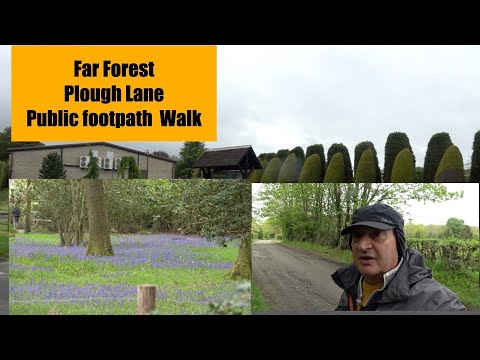
Far Forest Plough lane Public footpath walk
another great walk folks.

28 December 2023
Comfy 2 bed cottage in Bewdley. Worcestershire. Drive for 2 cars. Dog friendly. 5 min walk to West Midlands Safari Park. 10 min ...


Bewdley a walk around the town
hi folks got the bus from far forest and had a afternoon at bewdley.

Hike the Route of The Severn Valley Railway River Severn #shorts
Hiking along the River Severn Bewdley @SevernValleyRailwayOfficial #severnvalleyrailway #Hiking #Shorts #YouTube.

Bewdley Wanderlust - Uncovering the Wonders of Bewdley Wanderlust | Shan Haider
Bewdley Wanderlust - Uncovering the Wonders of Bewdley Wanderlust Duniya bhar ki khubsurati dekhne ka maza hi kuch aur hai ...

Family day trip at Wyre Forest Superworm & Grufello Trails
fantastic dayout.

Walk Into to Bewdley Town for Coffee & Cake
We walk into Bewdley Town to get some coffee and cake the coffee shop.we go to it is called kimmy The flat white coffee is ...
Part 2 of the beautiful walk along the River Bank in Bewdley
we continue along the path, walking along the river bank A beautiful summer walk in the sun bird tweeting and the sound of the ...

Experience the Geo Park Way through the Eyes of a Solo Female Hiker and her Furry Companion
This week, we're embarking on an adventure in Bewdley! Get ready to marvel at the breathtaking views of the Severn Valley ...

Go Ape Wyre Forest | Shropshire 2022 | Day 04
Shropshire #GoApe #TigerTomandWildWill Shropshire 2022 | Day 04 | Go Ape Wyre Forest This was our 3rd full day in ...

Dull Damp and Blustery Bewdley - DJi Pocket2 4K 25fps
Pocket 2 4K at 25fps. I think 50fps is definitely better !!
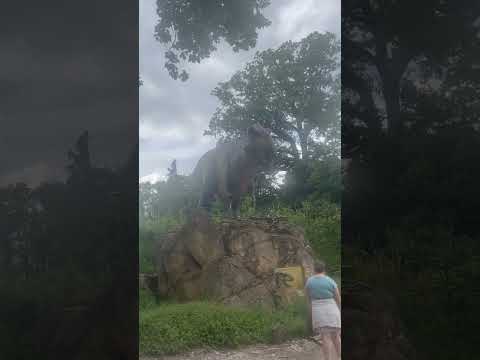
T-Rex, tyranosaurus rex, the biggest and loudest ever
mommylovsu @Shorts @TRexTube big trex rour.

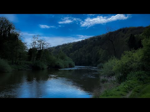
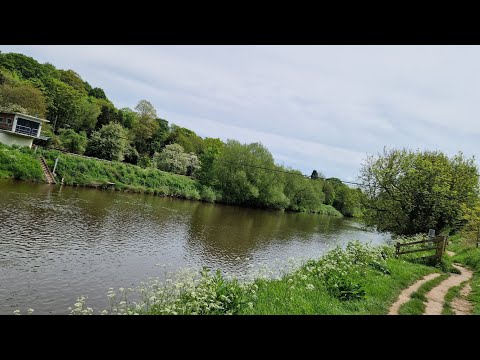
Arley to Bewdley: A Walk Along The River Severn using The Severn Way and North Worcestershire Path
A circular walk using both sides of a stretch of the River Severn. We begin in the little Worcestershire village of Arley and after a ...
Nearby Amenities
Located within 500m of 52.381646,-2.3514177Have you been to Town Coppice?
Leave your review of Town Coppice below (or comments, questions and feedback).