Birkinheath Covert
Wood, Forest in Cheshire
England
Birkinheath Covert

The requested URL returned error: 429 Too Many Requests
If you have any feedback on the listing, please let us know in the comments section below.
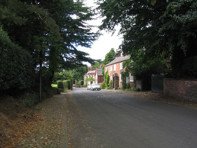
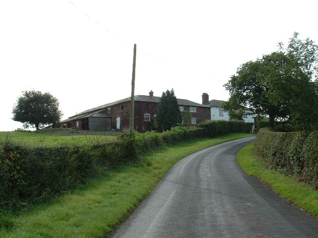
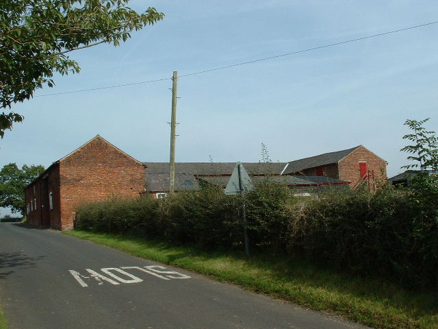
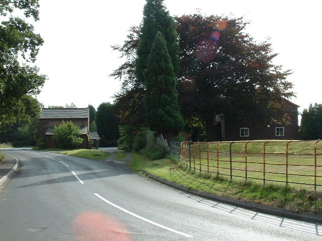
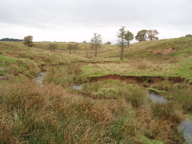
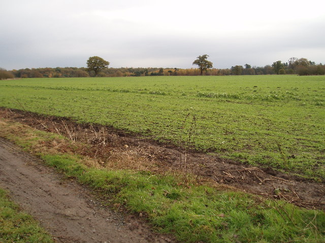
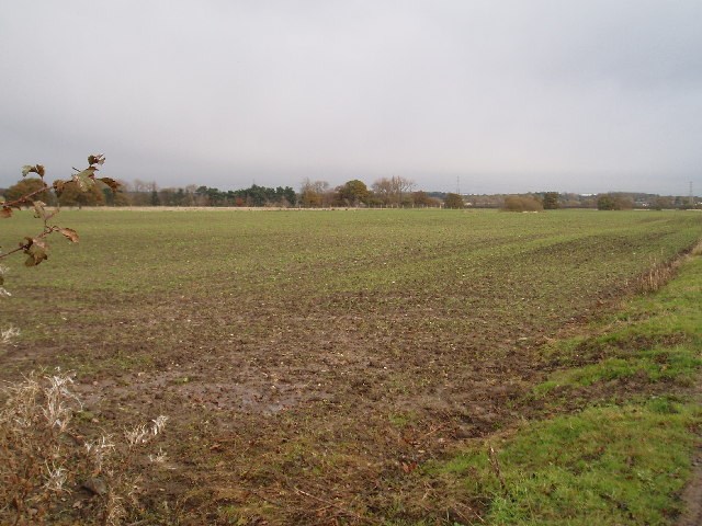
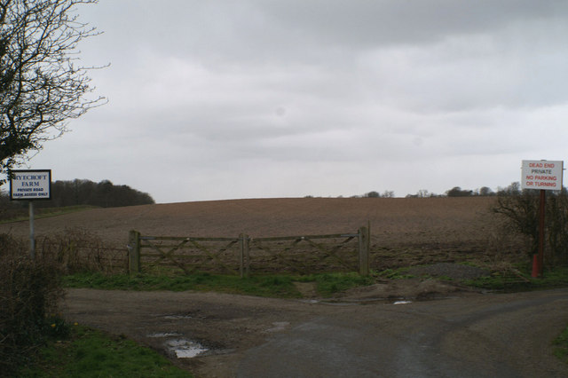
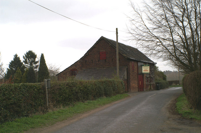
Birkinheath Covert Images
Images are sourced within 2km of 53.350456/-2.3592949 or Grid Reference SJ7683. Thanks to Geograph Open Source API. All images are credited.


Birkinheath Covert is located at Grid Ref: SJ7683 (Lat: 53.350456, Lng: -2.3592949)
Unitary Authority: Cheshire East
Police Authority: Cheshire
What 3 Words
///rating.duck.lend. Near Ashley, Cheshire
Nearby Locations
Related Wikis
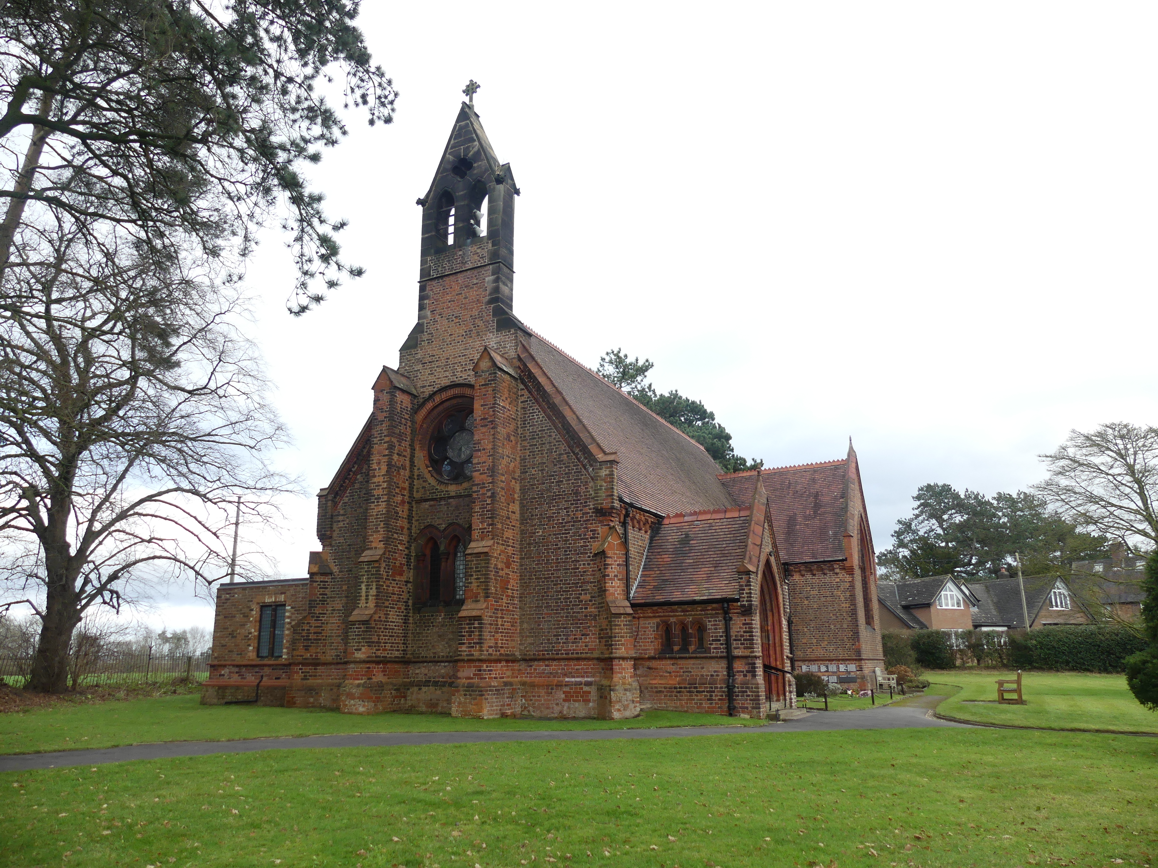
St Elizabeth's Church, Ashley
St Elizabeth's Church is on Ashley Road in the village of Ashley, Cheshire, England. It is an active Anglican parish church in the deanery of Bowdon,...
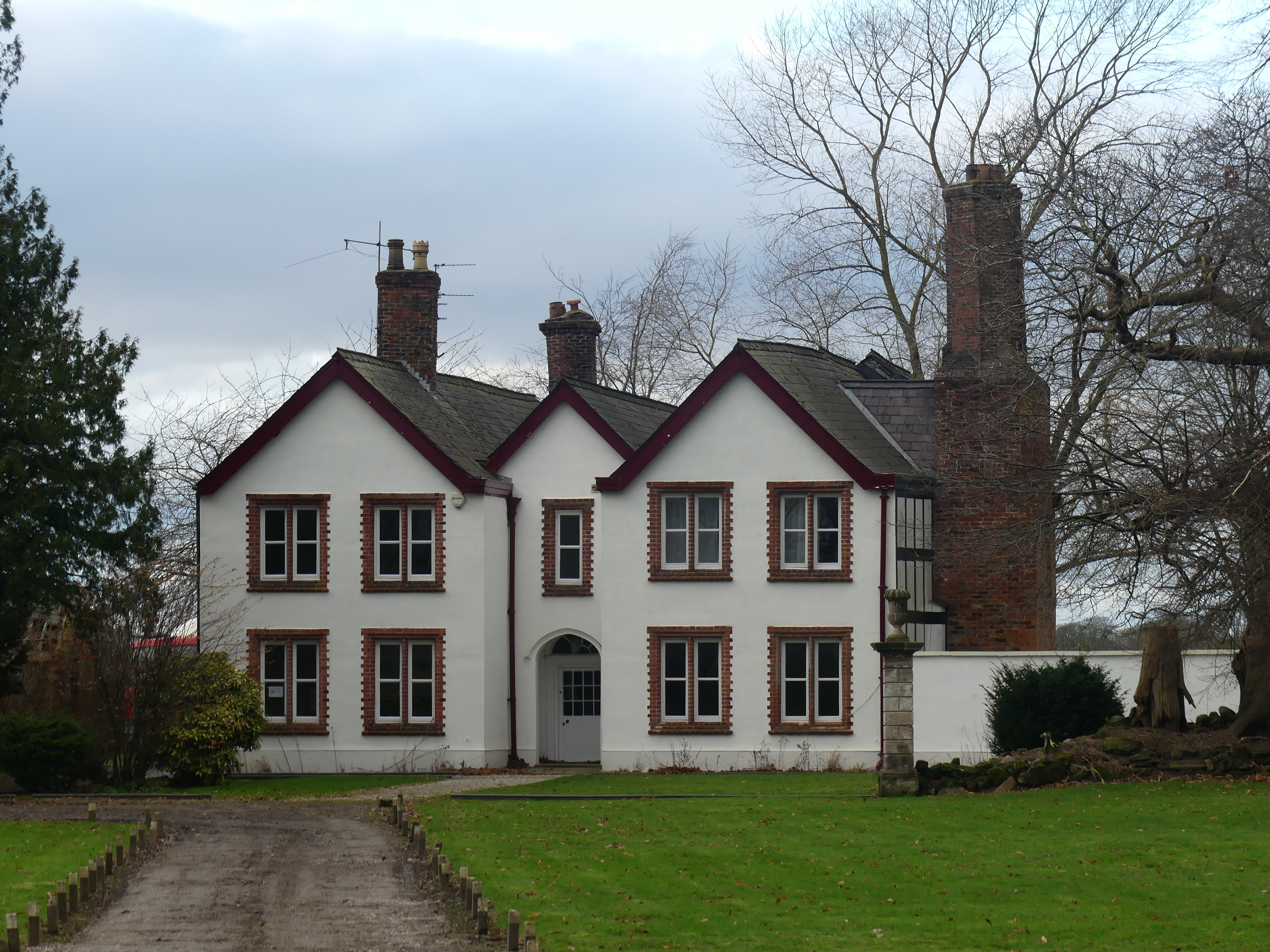
Ashley Hall, Cheshire
Ashley Hall is a country house standing to the north of the village of Ashley, Cheshire, England. It dates from the late 16th to the early 17th century...

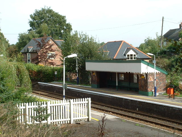
Ashley railway station
Ashley railway station is in the village of Ashley in Cheshire, England. It is located on the Mid-Cheshire line 17+3⁄4 miles (28.6 km) southwest of Manchester...
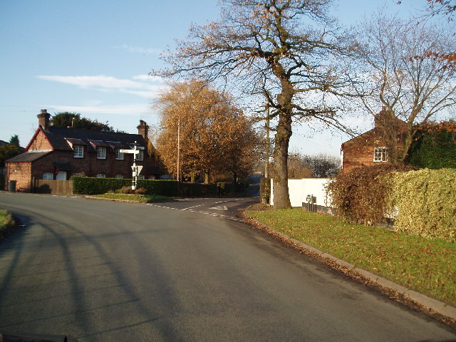
Ashley, Cheshire
Ashley is a village and civil parish in Cheshire, England. At the 2001 census, it had a population of 261. The village is close to the border with Greater...
Nearby Amenities
Located within 500m of 53.350456,-2.3592949Have you been to Birkinheath Covert?
Leave your review of Birkinheath Covert below (or comments, questions and feedback).