Klondyke Copse
Wood, Forest in Somerset
England
Klondyke Copse

Klondyke Copse is a picturesque wood located in the county of Somerset, England. Situated in the heart of the beautiful Somerset countryside, this enchanting forest is a haven for nature lovers and outdoor enthusiasts alike.
Covering an area of approximately 50 acres, Klondyke Copse is a mix of ancient woodland and newer plantation. The wood is predominantly composed of broadleaf trees such as oak, ash, and beech, which create a dense canopy that provides shade and shelter for a variety of wildlife.
Walking through the wood, visitors are greeted by a serene and tranquil atmosphere. The forest floor is carpeted with a rich tapestry of moss, ferns, and wildflowers, adding vibrant splashes of color to the green surroundings. The air is filled with the sweet scent of damp earth and the gentle rustling of leaves as local wildlife scurries about their daily activities.
Klondyke Copse is home to a diverse range of plant and animal species. Birdwatchers will delight in spotting a variety of avian residents such as woodpeckers, owls, and songbirds. Small mammals like squirrels, foxes, and badgers can often be seen darting among the trees, while the occasional sighting of a deer adds to the sense of natural beauty.
For those seeking a peaceful escape from the hustle and bustle of everyday life, Klondyke Copse offers a tranquil sanctuary. Whether it's a leisurely stroll, a picnic, or simply immersing oneself in the wonders of nature, this captivating woodland is a must-visit destination in Somerset.
If you have any feedback on the listing, please let us know in the comments section below.
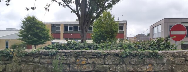
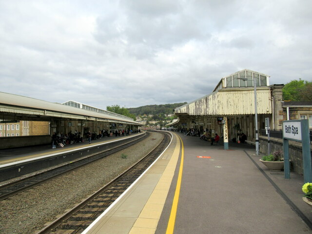
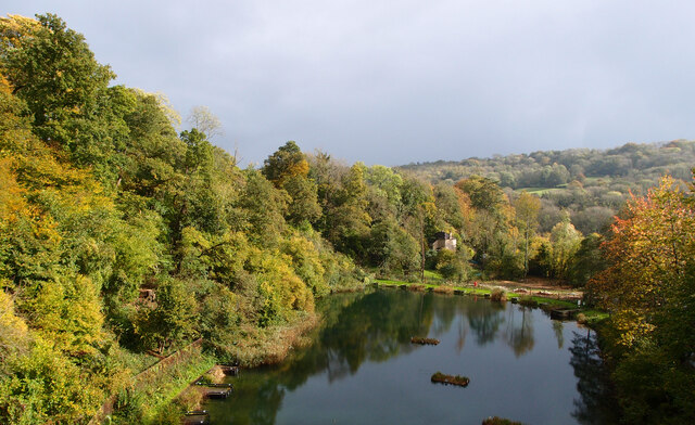
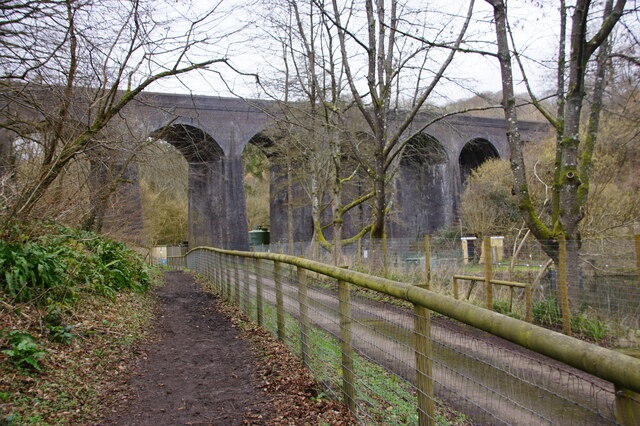
Klondyke Copse Images
Images are sourced within 2km of 51.367788/-2.3346759 or Grid Reference ST7663. Thanks to Geograph Open Source API. All images are credited.


Klondyke Copse is located at Grid Ref: ST7663 (Lat: 51.367788, Lng: -2.3346759)
Unitary Authority: Bath and North East Somerset
Police Authority: Avon and Somerset
What 3 Words
///escape.focus.shelf. Near Bath, Somerset
Nearby Locations
Related Wikis
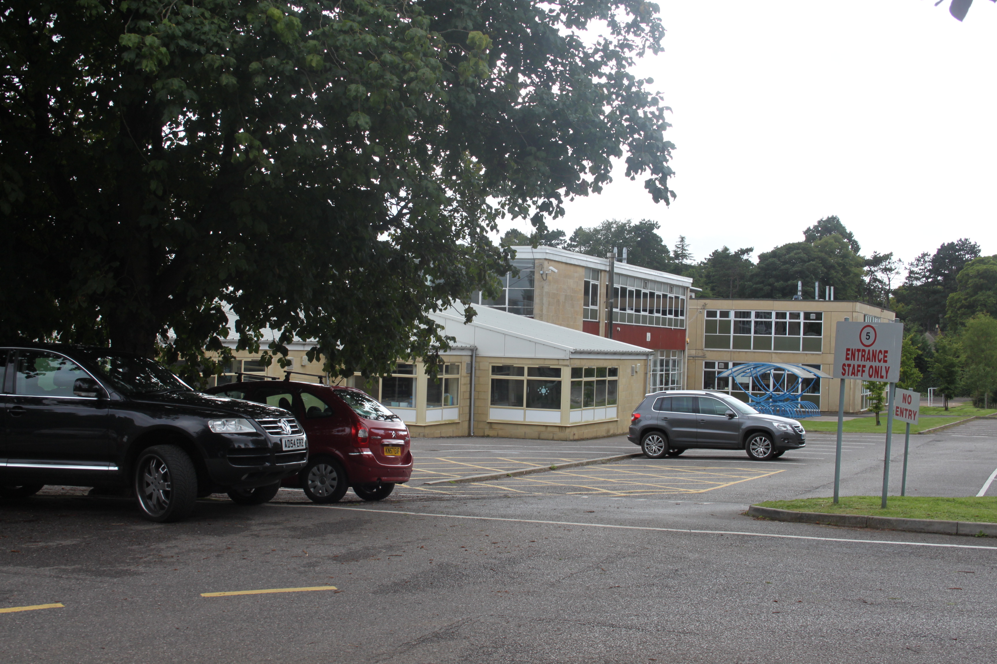
Ralph Allen School
Ralph Allen School in Combe Down, Bath, England, is a co-educational, comprehensive secondary school with academy status. Located on the south-eastern...

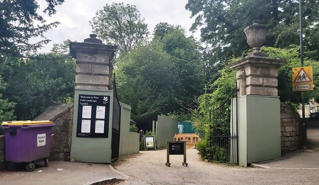
Prior Park Landscape Garden
Prior Park Landscape Garden surrounding the Prior Park estate south of Bath, Somerset, England, was designed in the 18th century by the poet Alexander...
Prior Park College
Prior Park College is a mixed Catholic public school for both boarding and day pupils in Bath, south-west England. Its main building, Prior Park, stands...

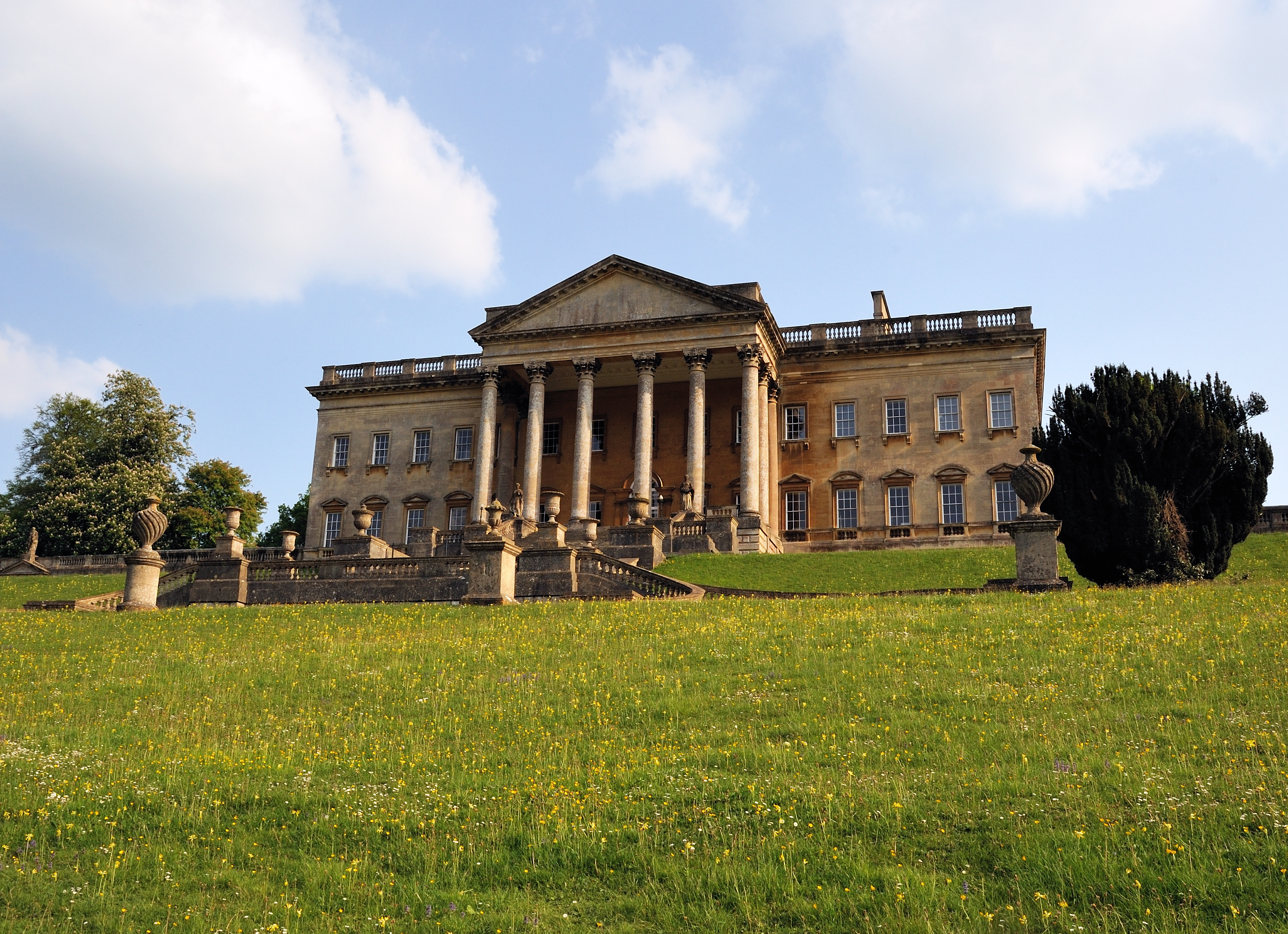
Prior Park
Prior Park is a Neo-Palladian house that was designed by John Wood, the Elder, and built in the 1730s and 1740s for Ralph Allen on a hill overlooking Bath...

Combe Down
Combe Down is a village on the outskirts of Bath, England, in the Bath and North East Somerset unitary authority area, within the ceremonial county of...

Bath Abbey Cemetery
The Anglican Bath Abbey Cemetery, officially dedicated as the Cemetery of St Peter and St Paul (the patron saints that Bath Abbey is dedicated to), was...
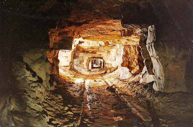
Combe Down and Bathampton Down Mines
Combe Down and Bathampton Down Quarries (grid reference ST761625) make up a 6.22 hectare (15.37 acre) Site of Special Scientific Interest (SSSI) in Bath...

St Thomas à Becket Church, Widcombe
St Thomas à Becket Church is a parish church of Widcombe in Bath, Somerset southwest England, and is one of a number of churches named after Thomas Becket...
Nearby Amenities
Located within 500m of 51.367788,-2.3346759Have you been to Klondyke Copse?
Leave your review of Klondyke Copse below (or comments, questions and feedback).