Rainbow Wood
Wood, Forest in Somerset
England
Rainbow Wood

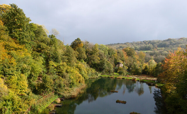
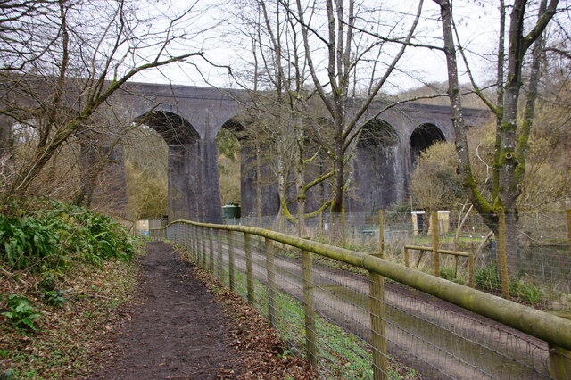
Rainbow Wood is a beautiful woodland located in Somerset, England. Covering an area of approximately 100 acres, it is a popular destination for nature enthusiasts and those seeking tranquility in a picturesque setting. The wood is known for its vibrant display of colors, especially during the autumn season when the leaves of the numerous trees turn into a stunning array of reds, yellows, and oranges.
The wood is predominantly made up of native British tree species, including oak, beech, and ash, which provide a diverse habitat for a variety of wildlife. Visitors can often spot birds such as woodpeckers, owls, and various songbirds, as well as small mammals like squirrels and rabbits.
Several walking trails traverse through the wood, offering visitors the opportunity to explore its beauty and discover hidden gems along the way. These trails are well-maintained and suitable for all ages and fitness levels, making Rainbow Wood an ideal location for a leisurely stroll or a family outing.
In addition to its natural beauty, Rainbow Wood also offers amenities for visitors. There are picnic areas with benches and tables, allowing visitors to relax and enjoy a packed lunch amidst the peaceful surroundings. The wood is also equipped with designated parking areas and toilet facilities for the convenience of visitors.
Overall, Rainbow Wood in Somerset is a captivating woodland that provides a haven for nature lovers and a tranquil escape from the hustle and bustle of everyday life. Its vibrant colors, diverse wildlife, and well-maintained trails make it a must-visit destination for anyone seeking a connection with nature.
If you have any feedback on the listing, please let us know in the comments section below.
Rainbow Wood Images
Images are sourced within 2km of 51.368039/-2.3379241 or Grid Reference ST7663. Thanks to Geograph Open Source API. All images are credited.


Rainbow Wood is located at Grid Ref: ST7663 (Lat: 51.368039, Lng: -2.3379241)
Unitary Authority: Bath and North East Somerset
Police Authority: Avon and Somerset
What 3 Words
///badge.mobile.dull. Near Bath, Somerset
Nearby Locations
Related Wikis

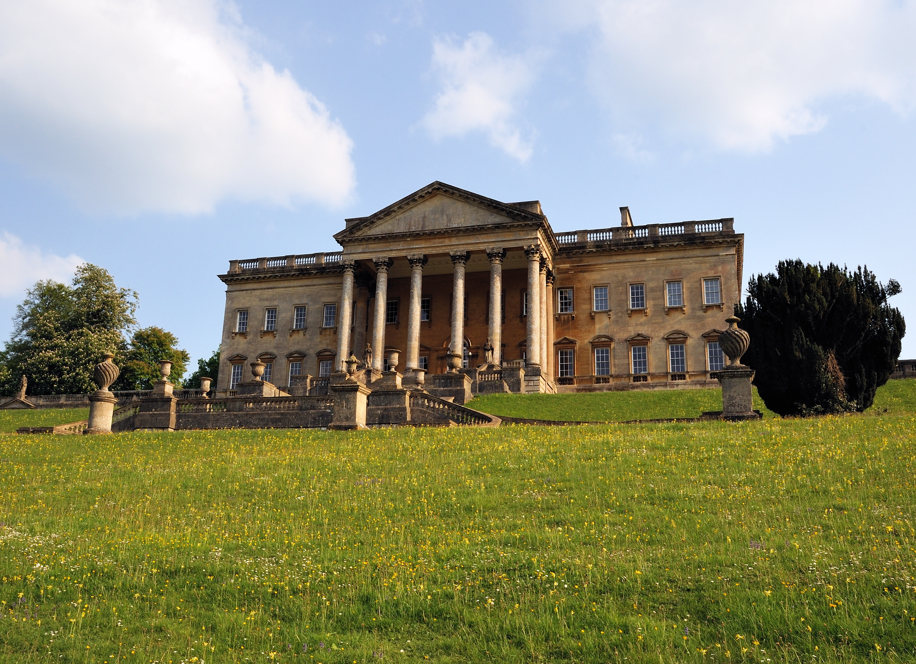
Prior Park Landscape Garden
Prior Park Landscape Garden surrounding the Prior Park estate south of Bath, Somerset, England, was designed in the 18th century by the poet Alexander...
Prior Park College
Prior Park College is a mixed Catholic public school for both boarding and day pupils in Bath, south-west England. Its main building, Prior Park, stands...

Prior Park
Prior Park is a Neo-Palladian house that was designed by John Wood, the Elder, and built in the 1730s and 1740s for Ralph Allen on a hill overlooking Bath...

Bath Abbey Cemetery
The Anglican Bath Abbey Cemetery, officially dedicated as the Cemetery of St Peter and St Paul (the patron saints that Bath Abbey is dedicated to), was...
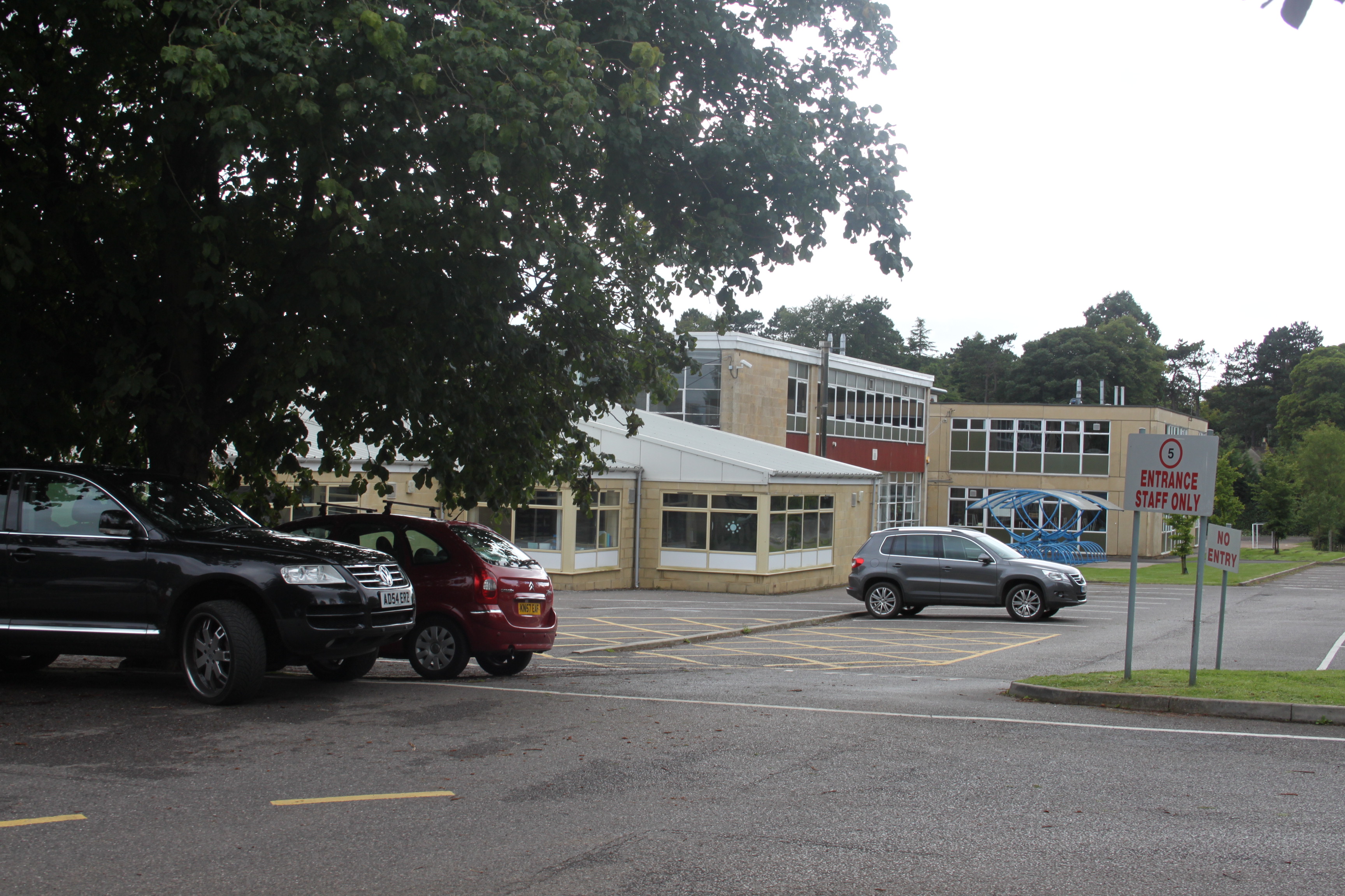
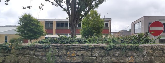
Ralph Allen School
Ralph Allen School in Combe Down, Bath, England, is a co-educational, comprehensive secondary school with academy status. Located on the south-eastern...

Combe Down
Combe Down is a village on the outskirts of Bath, England, in the Bath and North East Somerset unitary authority area, within the ceremonial county of...

St Thomas à Becket Church, Widcombe
St Thomas à Becket Church is a parish church of Widcombe in Bath, Somerset southwest England, and is one of a number of churches named after Thomas Becket...

Widcombe Manor House
Widcombe Manor is a grade I listed Georgian house in Widcombe, Bath, England, built in 1656 and then rebuilt in 1727 for Philip Bennet the local MP. The...
Nearby Amenities
Located within 500m of 51.368039,-2.3379241Have you been to Rainbow Wood?
Leave your review of Rainbow Wood below (or comments, questions and feedback).