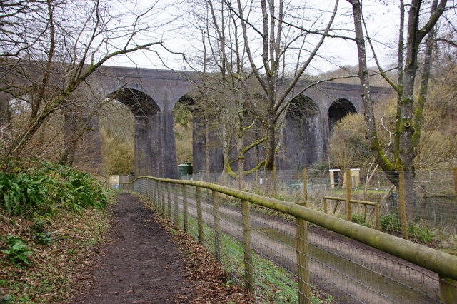
Fairy Wood
Wood, Forest in Somerset
England
Fairy Wood

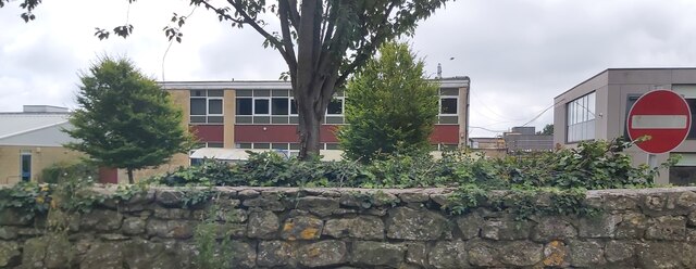
Fairy Wood is a charming woodland located in Somerset, England. Nestled amidst the rolling countryside, this enchanting forest is a popular destination for nature lovers and those seeking a touch of magic.
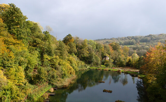
Covering an area of approximately 50 acres, Fairy Wood is known for its ancient oak trees, which provide a sense of grandeur and tranquility. The woodland is home to a diverse range of flora and fauna, including wildflowers, ferns, and various species of birds and butterflies. The forest floor is carpeted with moss and fallen leaves, creating a fairy tale-like atmosphere.
Visitors to Fairy Wood can explore the numerous walking trails that wind through the forest, allowing them to immerse themselves in the beauty of nature. The trails are well-maintained and suitable for all ages and fitness levels. Along the way, hikers may encounter hidden fairy doors, whimsical sculptures, and other delightful surprises that add to the woodland's magical ambiance.
For those interested in folklore and legends, Fairy Wood has its own mythical tales. Local folklore suggests that the woods are home to mischievous fairies who come out to play at night. Some visitors claim to have spotted glimpses of these elusive creatures, adding to the sense of wonder and intrigue surrounding the woodland.
In addition to its natural beauty, Fairy Wood offers a range of amenities for visitors. There are picnic areas, where families can enjoy a leisurely lunch surrounded by nature. The woodland also hosts educational events and workshops, allowing visitors to learn more about the local flora and fauna.
Overall, Fairy Wood is a captivating destination that combines natural beauty with a touch of whimsy. Its tranquil atmosphere and magical charm make it a must-visit location for both locals and tourists alike.
If you have any feedback on the listing, please let us know in the comments section below.
Fairy Wood Images
Images are sourced within 2km of 51.367272/-2.3358213 or Grid Reference ST7663. Thanks to Geograph Open Source API. All images are credited.


Fairy Wood is located at Grid Ref: ST7663 (Lat: 51.367272, Lng: -2.3358213)
Unitary Authority: Bath and North East Somerset
Police Authority: Avon and Somerset
What 3 Words
///ledge.hope.cases. Near Bath, Somerset
Nearby Locations
Related Wikis

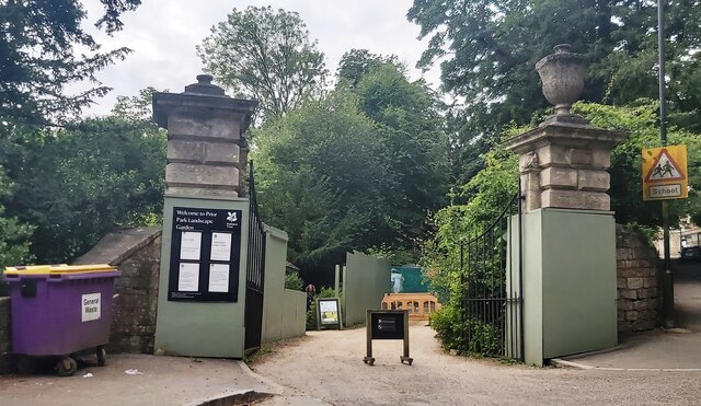
Prior Park Landscape Garden
Prior Park Landscape Garden surrounding the Prior Park estate south of Bath, Somerset, England, was designed in the 18th century by the poet Alexander...
Prior Park College
Prior Park College is a mixed Catholic public school for both boarding and day pupils in Bath, south-west England. Its main building, Prior Park, stands...
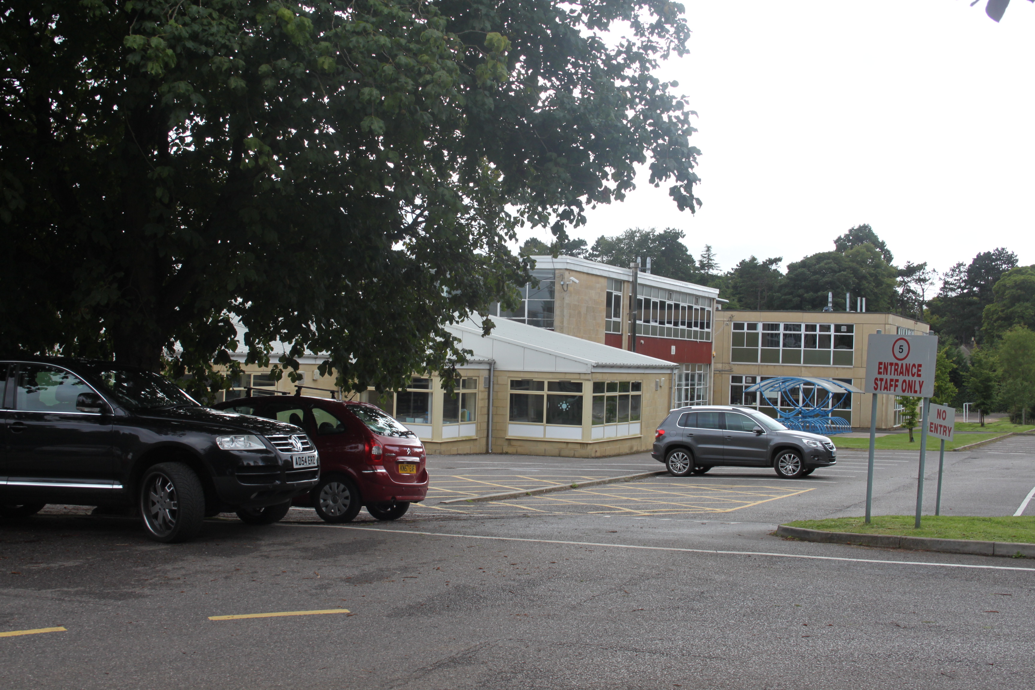
Ralph Allen School
Ralph Allen School in Combe Down, Bath, England, is a co-educational, comprehensive secondary school with academy status. Located on the south-eastern...

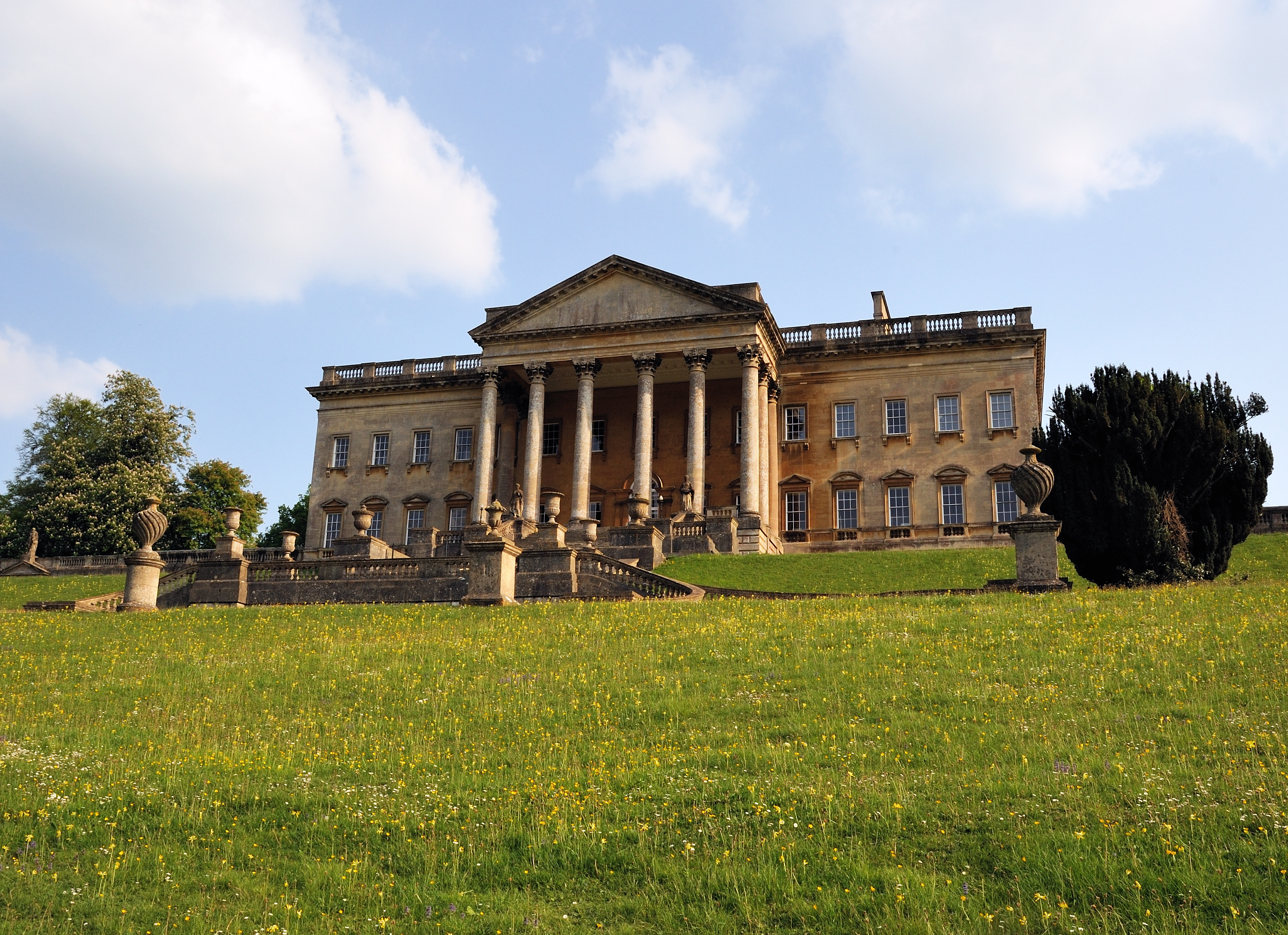
Prior Park
Prior Park is a Neo-Palladian house that was designed by John Wood, the Elder, and built in the 1730s and 1740s for Ralph Allen on a hill overlooking Bath...

Combe Down
Combe Down is a village on the outskirts of Bath, England, in the Bath and North East Somerset unitary authority area, within the ceremonial county of...

Bath Abbey Cemetery
The Anglican Bath Abbey Cemetery, officially dedicated as the Cemetery of St Peter and St Paul (the patron saints that Bath Abbey is dedicated to), was...
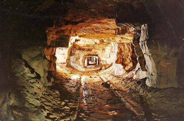
Combe Down and Bathampton Down Mines
Combe Down and Bathampton Down Quarries (grid reference ST761625) make up a 6.22 hectare (15.37 acre) Site of Special Scientific Interest (SSSI) in Bath...

St Thomas à Becket Church, Widcombe
St Thomas à Becket Church is a parish church of Widcombe in Bath, Somerset southwest England, and is one of a number of churches named after Thomas Becket...
Related Videos
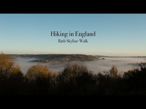
Hiking in England - Bath Skyline Walk
Filmed during Autumn here in the UK and inspired by the works of Kraig Adams, this video follows the National Trusts Bath ...

The Roman Baths, Bath UK - Is it worth visiting? An honest review
In our video we ask if it is worth visiting the Roman Baths. How have they made history interesting? Is it worth the ticket price?
![BATH, ENGLAND - UNITED KINGDOM [1 Hour Walking Tour in 4K]](https://i.ytimg.com/vi/_OifRtcht0Y/hqdefault.jpg)
BATH, ENGLAND - UNITED KINGDOM [1 Hour Walking Tour in 4K]
Walking Tour in Bath, England - United Kingdom SUBSCRIBE to see more videos like this: ...
![[4K] BATH ENGLAND Walking Tour | Full Tour of Bath UK - Roman Baths, The Abbey & Royal Crescent](https://i.ytimg.com/vi/k4qVbOvh27M/hqdefault.jpg)
[4K] BATH ENGLAND Walking Tour | Full Tour of Bath UK - Roman Baths, The Abbey & Royal Crescent
[4K] Bath England Walking Tour - Roman Baths, Bath Abbey & Royal Crescent - Full Tour of Bath UK This full tour of Bath UK ...
Nearby Amenities
Located within 500m of 51.367272,-2.3358213Have you been to Fairy Wood?
Leave your review of Fairy Wood below (or comments, questions and feedback).