Henroost Wood
Wood, Forest in Dorset
England
Henroost Wood
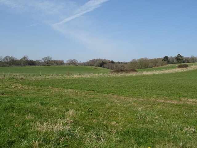
Henroost Wood is a picturesque woodland located in the county of Dorset, England. Covering an area of approximately 100 acres, it is nestled within the rolling hills of the Dorset countryside, making it a popular destination for nature enthusiasts and outdoor lovers.
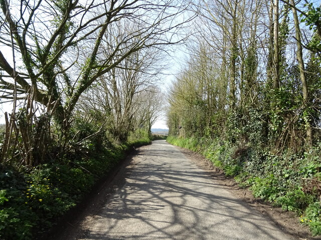
The woodland is predominantly composed of mixed deciduous trees, including oak, beech, and birch, creating a rich and diverse ecosystem. The dense canopy provides a cool and shaded environment during the summer months, while the forest floor is adorned with a vibrant carpet of wildflowers, ferns, and mosses.
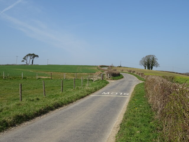
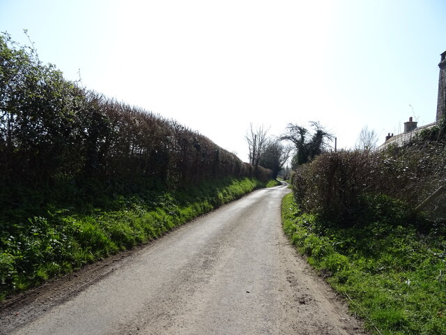
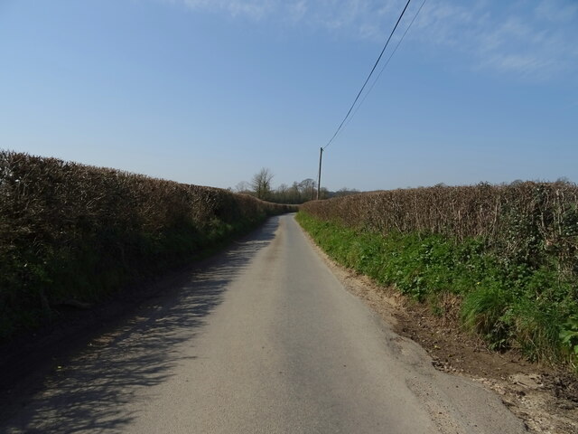
Henroost Wood is crisscrossed by a network of well-maintained footpaths, allowing visitors to explore its idyllic surroundings at their own pace. The paths wind through the trees, meandering alongside babbling brooks and trickling streams, enhancing the serene atmosphere of the wood.
This woodland is also home to a variety of wildlife species, making it a haven for birdwatchers and animal enthusiasts. Visitors may spot woodland birds such as woodpeckers, thrushes, and robins, as well as small mammals like foxes, rabbits, and squirrels.
In addition to its natural beauty, Henroost Wood has historical significance as well. It is believed to have been used as a hunting ground during medieval times, and remnants of ancient earthworks can still be found within the forest.
Overall, Henroost Wood offers a tranquil and enchanting escape from the hustle and bustle of everyday life, providing visitors with an opportunity to immerse themselves in the beauty of nature while enjoying a peaceful stroll through its leafy pathways.
If you have any feedback on the listing, please let us know in the comments section below.
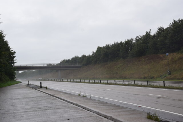
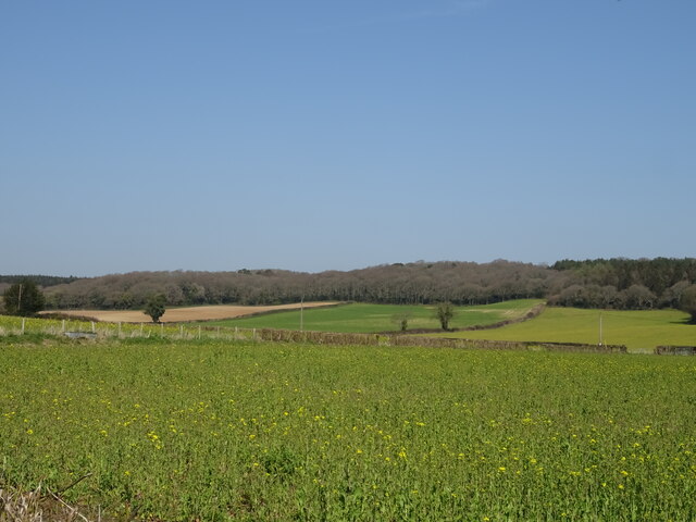
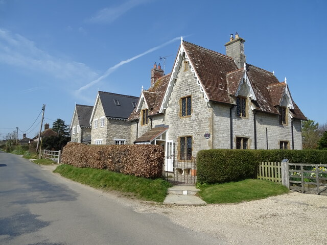
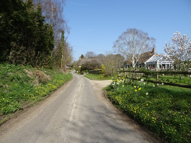
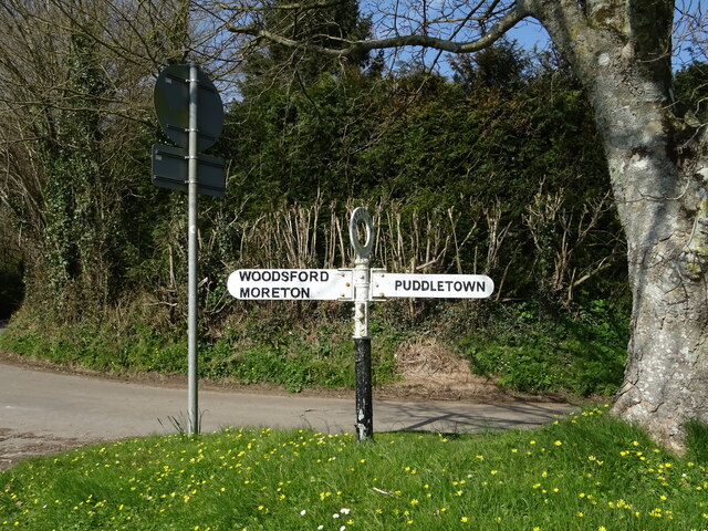
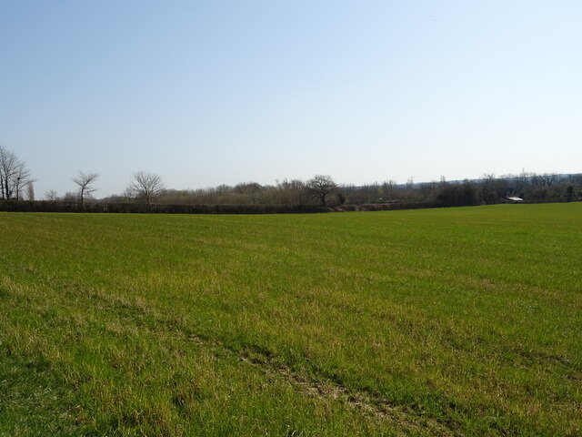
Henroost Wood Images
Images are sourced within 2km of 50.74306/-2.3301566 or Grid Reference SY7693. Thanks to Geograph Open Source API. All images are credited.
Henroost Wood is located at Grid Ref: SY7693 (Lat: 50.74306, Lng: -2.3301566)
Unitary Authority: Dorset
Police Authority: Dorset
What 3 Words
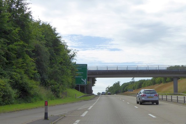
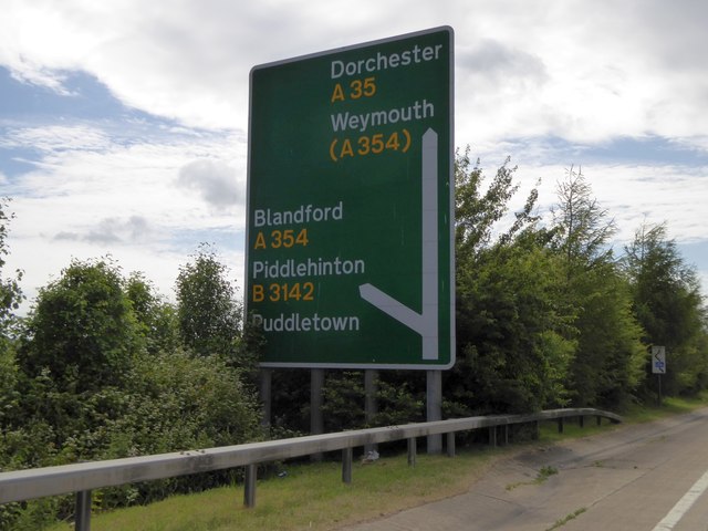
///thrones.winemaker.exposing. Near Puddletown, Dorset
Nearby Locations
Related Wikis
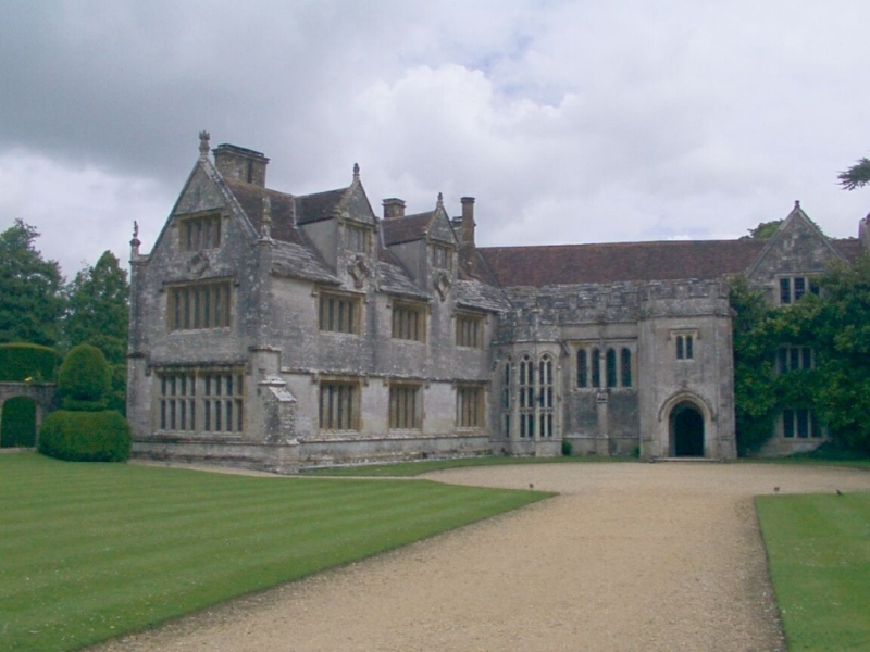
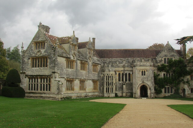
Athelhampton
Athelhampton (also known as Admiston or Adminston) is a settlement and civil parish in Dorset, England, situated approximately 5 miles (8 km) east of Dorchester...

Devils Brook (Dorset)
The Devils Brook is a Dorset watercourse of that rises near Higher Ansty (on Pleck Farm, in Pleck or Little Ansty), near to the source of the River Divelish...

Burleston
Burleston is a village in Dorset, England. Burleston is listed in the Domesday Book of 1086, having at that time a small population of nine households...

Puddletown
Puddletown is a village and civil parish in Dorset, England. It is situated by the River Piddle, from which it derives its name, about 4.5 miles (7 km...
Puddletown Hundred
Puddletown Hundred was a hundred in the county of Dorset, England, containing the following parishes: Athelhampton Burleston Milborne St Andrew (part...

Tincleton
Tincleton is a village and civil parish in the county of Dorset in southern England. It is situated near the River Frome, approximately 5 miles (8.0 km...

St John's Church, Tincleton
St John's Church is a Church of England church in Tincleton, Dorset, England. It was designed by Benjamin Ferrey and built in 1849–50. The church has been...

St John's Church, Tolpuddle
The Church of Saint John the Evangelist is a Church of England parish church in Tolpuddle, Dorset. The church is a Grade I listed building. == History... ==
Related Videos
Wood Farm Holiday Park - Holidays & Short Breaks 2024
Nestled in the beautiful Char Valley woodlands, and just a short drive from Charmouth Beach and Lyme Regis. For more ...


Hiking on the South West Coast Path
I met Lynne when we were both 11 years old, and in the same class at school. To celebrate turning 50, Lynne's doing the whole ...

Sandhills Holiday Park - Holidays & Short Breaks 2024
On the waters edge in Mudeford, Christchurch Harbour, Dorset. For more information visit www.parkholidays.com.
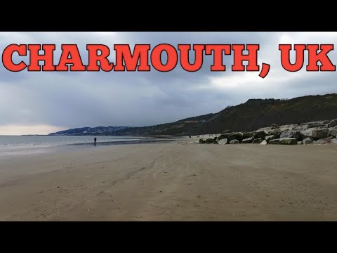
Seadown Holiday Park & Charmouth Beach, England
Charmouth is a village and civil parish in Dorset, England. The village is situated on the mouth of the River Char. On this video is ...

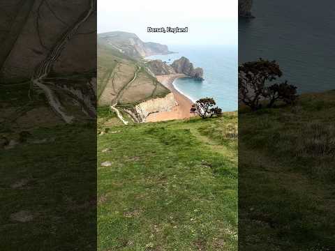
Dorset Travel Guide, England | AD
From exploring the beautiful beaches, to famous landmarks like Durdle Door and Portland Bill, and activities including kayaking, ...


Sandhills - Holiday Home Ownership 2024
Sandhills - could you ever imagine a more perfect setting? Located with views over both Christchurch harbour and the English ...

The Blue Pool, walking Moment's
The Blue Pool, Dorset AONB #visitengland #visitdorset #dorset #travel #walking #photography #nature #lake #caminhadas ...

Caves, Cliffs & Coast: Hiking The Jurassic Coast, South West Coast Path, Dorset #greenspaces
This dramatic hike starts in the Dorset village of Worth Matravers, in a honesty boxed carpark (BH19 3LE). From here we walked ...
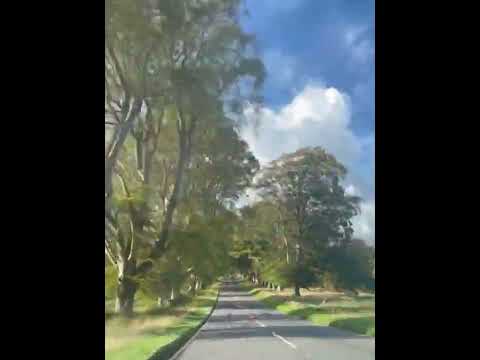
English Cottage Vacation - Countryside Drive through Dorset, Beech Avenue, Kingston Lacey.
Driving through the British countryside is a dreamy scene, indeed! With green trees lining the roads to salute you as you make ...

Dorset, England Come Travel With Me!
Dorset, England Come Travel With Me!.. In this video I will be taking you around Dorset, England with me. Going to Swanage ...

South West Coast Path - Hiking & Wild Camping.
A four day trip hiking the SWCP from Lyme Regis ( Monkton Wyld really!) to West Fleet in August 2021 with my old mucker Dan ...

Wood Farm - Holiday Home Ownership 2024
Nestled in the Char Valley and surrounded by the rolling Dorset countryside, Wood Farm Holiday Park offers the ultimate Dorset ...


This area in Portland Bill Dorset is Stunning! #dorset #travel #coast #portland
Portland Bill is a narrow promontory located on the Isle of Portland in Dorset, England. It's known for its iconic lighthouse, Portland ...

Dorset beaches - Knoll beach and Studland beach - Shell Bay Dorset travel
Dorset travel, another vlog from Dorset England. This time Dorset beaches like Knoll beach, Studland beach in Shall bay Dorset ...

South West Coast Path, Swyre Head to Kimmeridge Bay, 13 Miles
Dorset coastal walks series. Hiking 13 miles along the South West Coast Path from Swyre Head to Kimmeridge Bay, Worbarrow ...

Live the #millionairelifestyle in Dorset With Your Very Own Holiday Home On The Beach
Fancy owning a £1 million caravan in Dorset? Dorset is becoming a millionaires playground with property hotspots including ...

Book your perfect English Cottage Vacation today!
Let us take care of everything, including you!! Well Cottage is a luxury, all inclusive vacation experience run by Nathan and Laura ...

Dorset Holiday - May 15th to 22nd
A fabulous week away in Marian. Walking, sight seeing, eating inside venues and generally chilling out.


DJI Mini 3 Pro Warmwell Holiday Park Dorset
Holiday Park Dorset.
Nearby Amenities
Located within 500m of 50.74306,-2.3301566Have you been to Henroost Wood?
Leave your review of Henroost Wood below (or comments, questions and feedback).