Athelhampton
Civil Parish in Dorset West Dorset
England
Athelhampton
Athelhampton is a civil parish located in the county of Dorset, England. It is situated approximately 6 miles east of the county town, Dorchester. The parish covers an area of about 3.5 square miles and has a population of around 300 people.
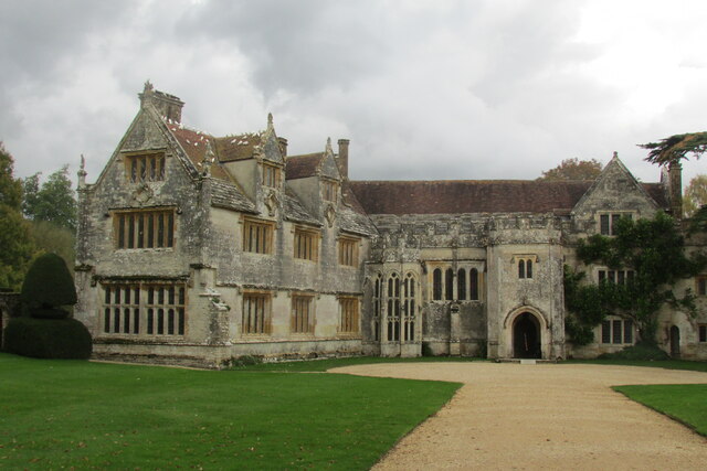
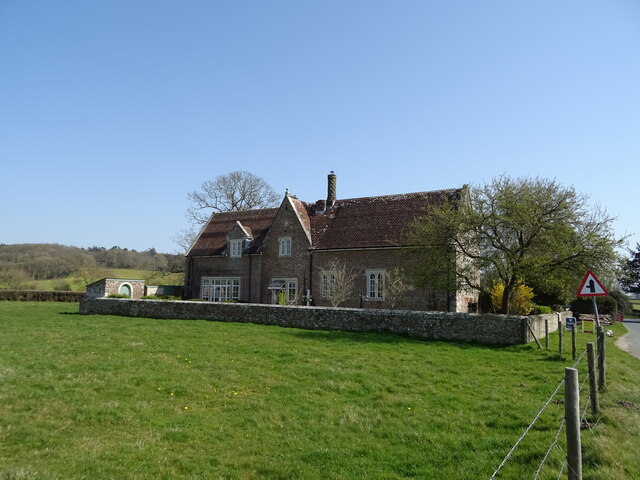
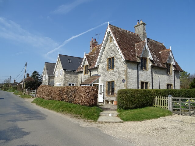
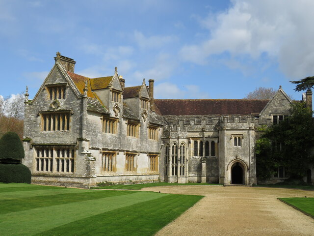
The village of Athelhampton is known for its historic significance and picturesque surroundings. It is home to the famous Athelhampton House, a Tudor manor house that dates back to the 15th century. The house is renowned for its beautiful gardens and is open to the public, attracting numerous visitors each year.
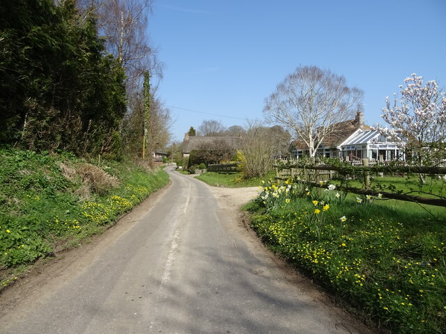
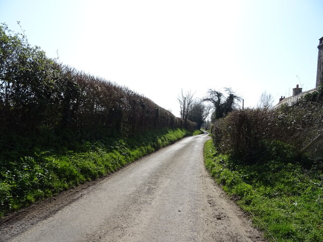
The village itself is quaint and charming, with a peaceful and rural atmosphere. It features a small number of traditional cottages and farmhouses, adding to its historic appeal. The local community is closely knit, and there are several community events and activities that take place throughout the year.
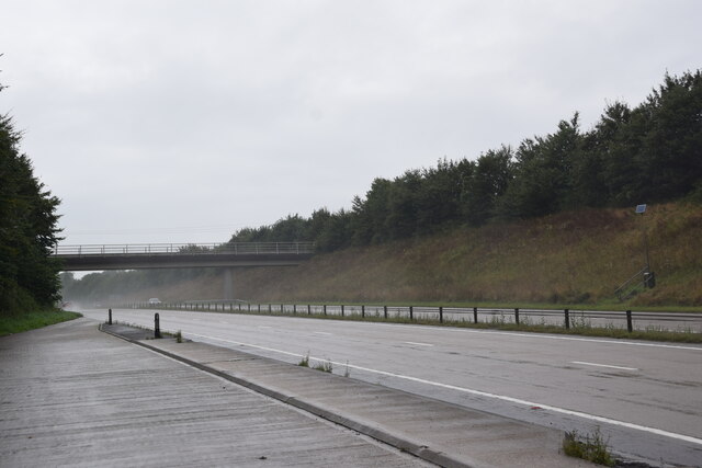
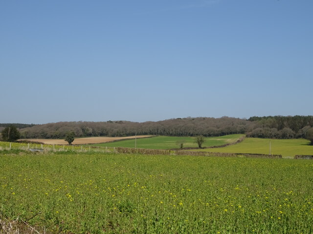
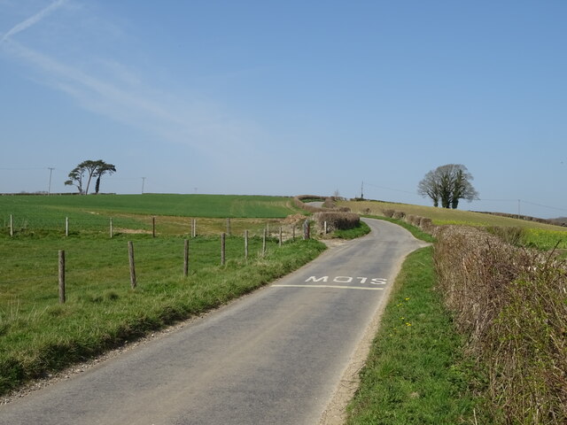
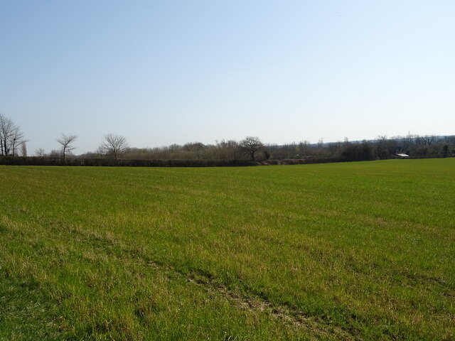
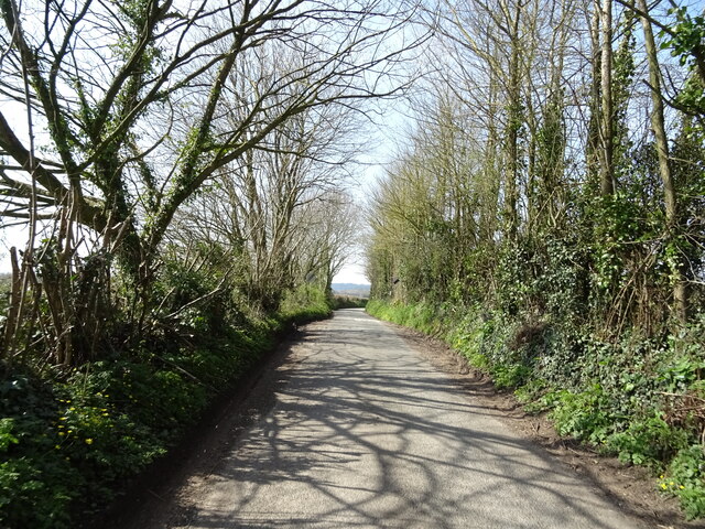
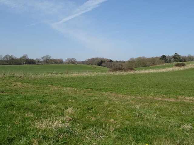
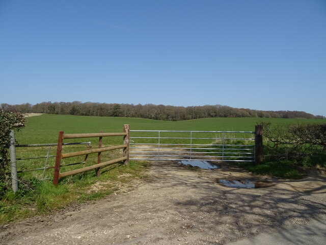
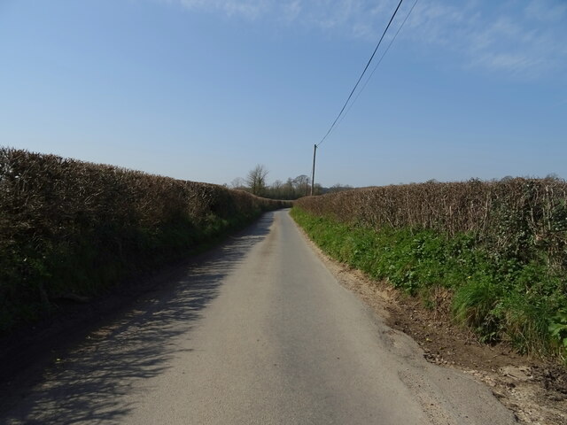
Nature lovers will appreciate the scenic countryside that surrounds Athelhampton. The parish is situated in the heart of the Dorset Area of Outstanding Natural Beauty, offering stunning landscapes and opportunities for outdoor recreation. The River Piddle flows through the area, providing a tranquil setting for walks and picnics.
Overall, Athelhampton, Dorset is a delightful civil parish that combines rich history, natural beauty, and a close-knit community. It offers a peaceful and idyllic lifestyle for its residents, while also attracting visitors who are drawn to its historic attractions and picturesque surroundings.
If you have any feedback on the listing, please let us know in the comments section below.
Athelhampton Images
Images are sourced within 2km of 50.742147/-2.328066 or Grid Reference SY7693. Thanks to Geograph Open Source API. All images are credited.
Athelhampton is located at Grid Ref: SY7693 (Lat: 50.742147, Lng: -2.328066)
Administrative County: Dorset
District: West Dorset
Police Authority: Dorset
What 3 Words
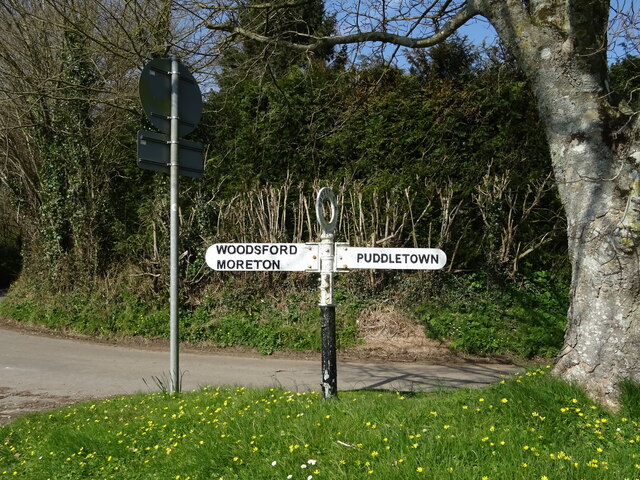
///stay.otherwise.sprouting. Near Puddletown, Dorset
Nearby Locations
Related Wikis

Athelhampton
Athelhampton (also known as Admiston or Adminston) is a settlement and civil parish in Dorset, England, situated approximately 5 miles (8 km) east of Dorchester...

Burleston
Burleston is a village in Dorset, England. Burleston is listed in the Domesday Book of 1086, having at that time a small population of nine households...

Devils Brook (Dorset)
The Devils Brook is a Dorset watercourse of that rises near Higher Ansty (on Pleck Farm, in Pleck or Little Ansty), near to the source of the River Divelish...

Puddletown
Puddletown is a village and civil parish in Dorset, England. It is situated by the River Piddle, from which it derives its name, about 4.5 miles (7 km...
Puddletown Hundred
Puddletown Hundred was a hundred in the county of Dorset, England, containing the following parishes: Athelhampton Burleston Milborne St Andrew (part...

Tincleton
Tincleton is a village and civil parish in the county of Dorset in southern England. It is situated near the River Frome, approximately 5 miles (8.0 km...

St John's Church, Tincleton
St John's Church is a Church of England church in Tincleton, Dorset, England. It was designed by Benjamin Ferrey and built in 1849–50. The church has been...

St John's Church, Tolpuddle
The Church of Saint John the Evangelist is a Church of England parish church in Tolpuddle, Dorset. The church is a Grade I listed building. == History... ==
Nearby Amenities
Located within 500m of 50.742147,-2.328066Have you been to Athelhampton?
Leave your review of Athelhampton below (or comments, questions and feedback).