Witchcote Wood

Wood, Forest in Cheshire

England

Witchcote Wood

Tatton Mere (Tatton Park) Looking south, Crosstown Church visible above trees
Tatton Mere (Tatton Park) Credit: Ian Warburton

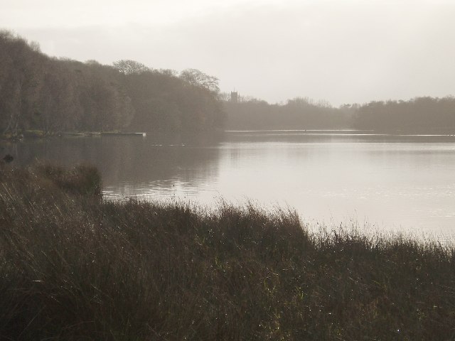
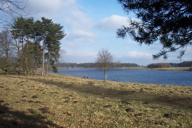
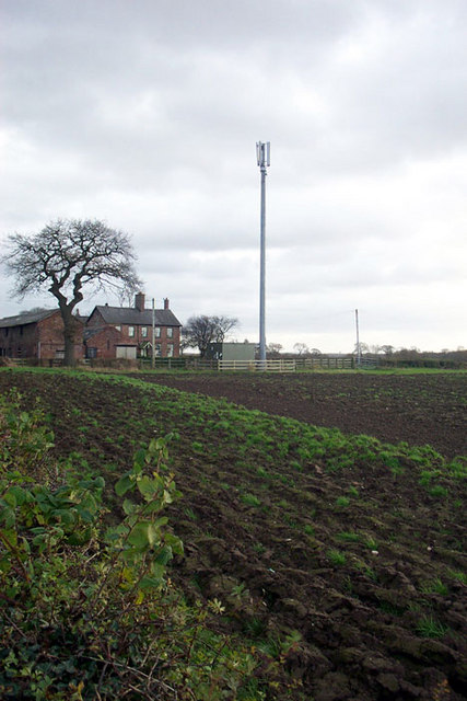
Witchcote Wood, located in Cheshire, England, is a picturesque and enchanting forest that spans across a vast area of approximately 500 acres. This ancient woodland holds a significant historical and ecological value, attracting both nature enthusiasts and history buffs alike.

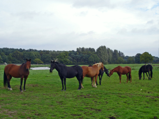
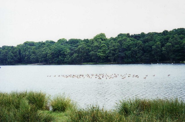
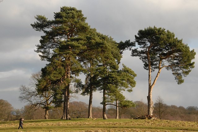
The woodland is characterized by its dense canopy of towering oak, beech, and birch trees, which create a cool and tranquil atmosphere. The forest floor is covered with a lush carpet of ferns, wildflowers, and mosses, adding to its natural beauty. The wood is also home to a diverse range of wildlife, including deer, foxes, badgers, and numerous bird species, making it a haven for nature lovers and birdwatchers.

Witchcote Wood has a rich history dating back several centuries. It is believed to have been a royal hunting ground during the medieval period and evidence of ancient earthworks and ditches can still be seen in some areas. The wood has also been associated with folklore and legends, with stories of witches and mystical happenings adding an air of mystery to the forest.

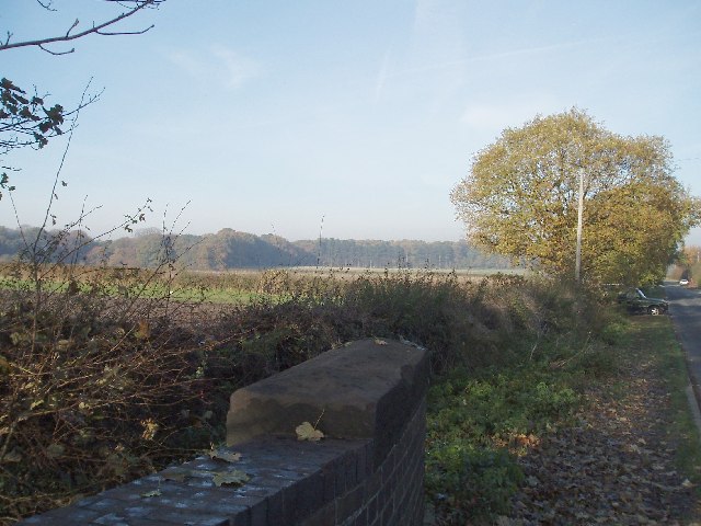
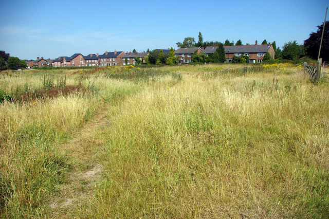
The wood is a popular destination for outdoor activities such as walking, hiking, and cycling. It offers a network of well-maintained trails and paths that wind through the woodland, allowing visitors to explore its hidden nooks and crannies. There are also designated picnic areas and viewpoints that provide breathtaking vistas of the surrounding countryside.

In summary, Witchcote Wood in Cheshire is a captivating and historically significant forest, offering a peaceful retreat for those seeking solace in nature or a glimpse into the past.

If you have any feedback on the listing, please let us know in the comments section below.

Witchcote Wood Images

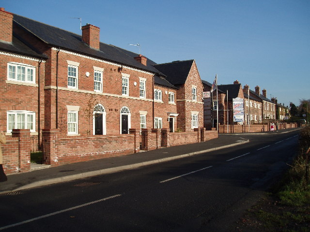
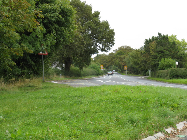
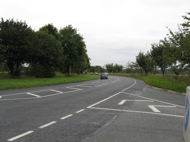
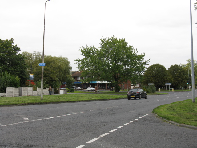
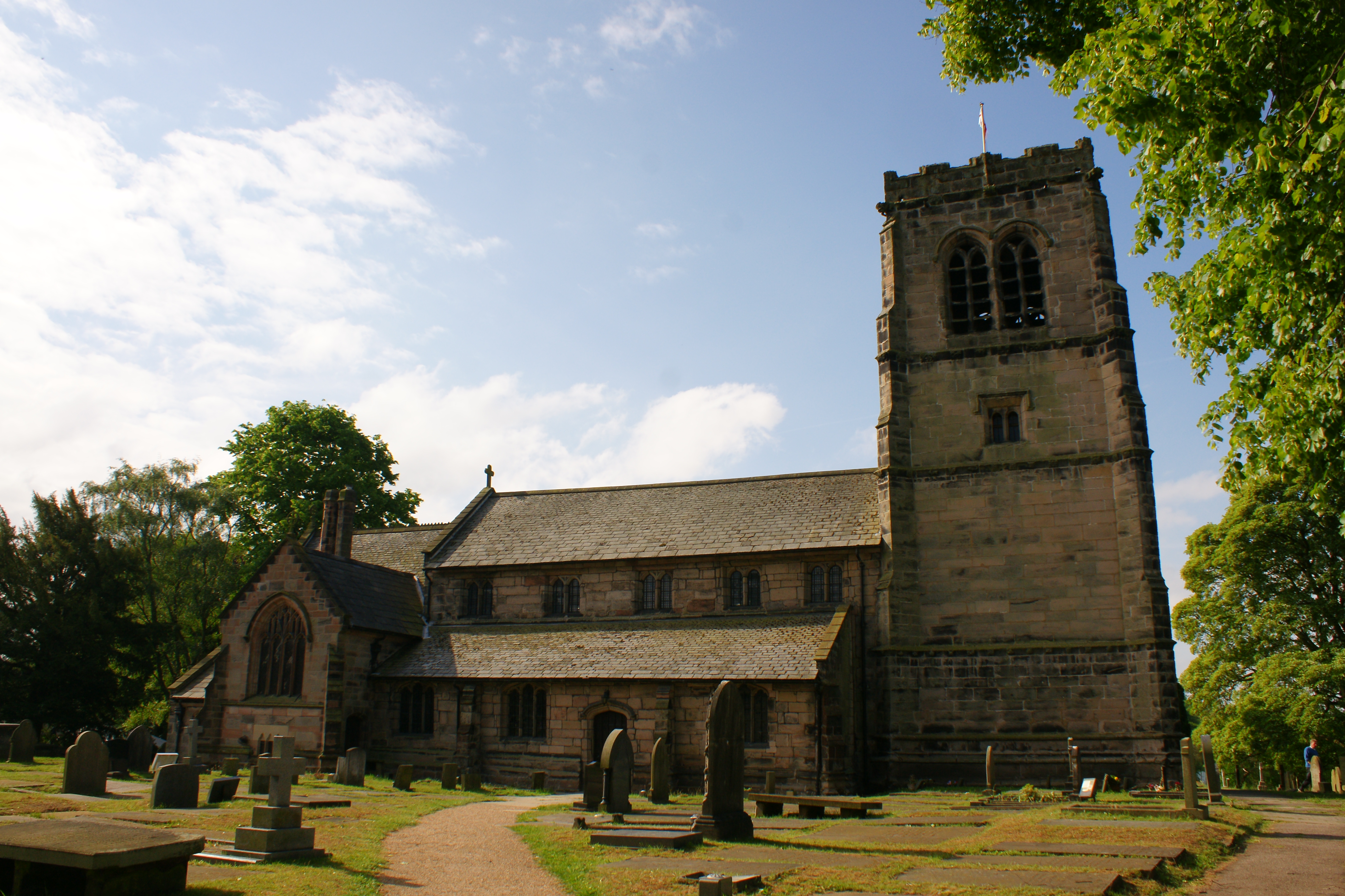
Images are sourced within 2km of 53.321854/-2.3501672 or Grid Reference SJ7680. Thanks to Geograph Open Source API. All images are credited.

Tatton Mere (Tatton Park) Looking south, Crosstown Church visible above trees
Tatton Mere (Tatton Park)
Looking south, Crosstown Church visible above trees
View from Parkgate Lane Railway Bridge Looking west towards Dog Wood (Tatton Park). Parkgate lane is the only access road to Knutsford Industrial Estate
View from Parkgate Lane Railway Bridge
Looking west towards Dog Wood (Tatton Park). Parkgate lane is the only access road to Knutsford Industrial Estate
View NE from Parkgate Lane Railway Bridge Knutsford Industrial Estate on left
View NE from Parkgate Lane Railway Bridge
Knutsford Industrial Estate on left
Dukenfield Hall (Knutsford Road Mobberley) Hall dates back to early 1600's
Dukenfield Hall (Knutsford Road Mobberley)
Hall dates back to early 1600's
Eden Court Town Lane Mobberley A new Housing development on the site of an old garage
Eden Court Town Lane Mobberley
A new Housing development on the site of an old garage
Tatton Mere Northerly view across the mere. Notice how busy the moles of Tatton have been!
Tatton Mere
Northerly view across the mere. Notice how busy the moles of Tatton have been!
Knutsford fire station Knutsford fire station, Mobberley Road, Knutsford, Cheshire.
Knutsford fire station
Knutsford fire station, Mobberley Road, Knutsford, Cheshire.
Knutsford - horses on the North Cheshire Way Knutsford: horses on the NCW near Parkgate Farm.
Knutsford - horses on the North Cheshire Way
Knutsford: horses on the NCW near Parkgate Farm.
Telecommunication Mast This mast is part of the Vodafone network covering Mobberley and surrounding area. It is located on Pavement Lane adjacent to Pavement Lane Farm.
Telecommunication Mast
This mast is part of the Vodafone network covering Mobberley and surrounding area. It is located on Pavement Lane adjacent to Pavement Lane Farm.
Nature Reserve - Town Lane This area of land has been purchased by Mobberley parishioners so that it can be developed as an open space / nature reserve.
Originally formed by sand abstraction parallel to Town Lane in the 1940's the abstraction was increase in the 80's to its present extent. The view point is from Mobberley Footpath No.14 <span class="nowrap"><a title="http://www.mobberley.info/Footpaths/html/sw_paths_12.html" rel="nofollow ugc noopener" href="http://www.mobberley.info/Footpaths/html/sw_paths_12.html">Link</a><img style="margin-left:2px;" alt="External link" title="External link - shift click to open in new window" src="https://s1.geograph.org.uk/img/external.png" width="10" height="10"/></span> adjacent to what was Platt's Farm.
Nature Reserve - Town Lane
This area of land has been purchased by Mobberley parishioners so that it can be developed as an open space / nature reserve. Originally formed by sand abstraction parallel to Town Lane in the 1940's the abstraction was increase in the 80's to its present extent. The view point is from Mobberley Footpath No.14 LinkExternal link adjacent to what was Platt's Farm.
Nature Reserve 2 - Town Lane
Tatton Mere
Tatton Mere
B5085, Looking East From Broadoak Lane
B5085, Looking West From Broadoak Lane
Knutsford - Shaw Drive
Knutsford - Northfields
Knutsford - Mobberley Road At Manor Park North
Scots Pines
Scots Pines
Show me another place!

Witchcote Wood is located at Grid Ref: SJ7680 (Lat: 53.321854, Lng: -2.3501672)

Unitary Authority: Cheshire East

Police Authority: Cheshire

What 3 Words

///continues.mealtime.bulk. Near Mobberley, Cheshire

Related Wikis

Dukenfield Hall

Dukenfield Hall is a country house between Knutsford and Mobberley in Cheshire, England. Dukenfield Hall is recorded in the National Heritage List for...

Tatton Old Hall

Tatton Old Hall is a historic building in Tatton Park near Knutsford, Cheshire, England. It is designated by English Heritage as a Grade II* listed building...

Tatton, Cheshire

Tatton is a former civil parish, now in the parish of Millington and Rostherne, in the Cheshire East district and ceremonial county of Cheshire in England...

Mobberley railway station

Mobberley railway station serves the village of Mobberley in Cheshire, England. It is to the north of the village and is managed by Northern Trains. The...

Mobberley

Mobberley is a village in Cheshire, England, between Wilmslow and Knutsford, which in 2001 had a population of 2,546, increasing to 3,050 at the 2011 Census...

St Wilfrid's Church, Mobberley

St Wilfrid's Church stands to the north of the village of Mobberley, Cheshire, England. The church is recorded in the National Heritage List for England...

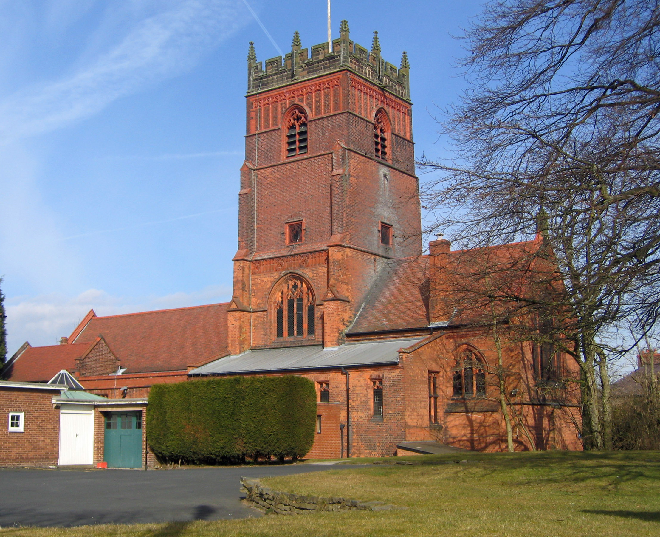
St Cross Church, Knutsford

St Cross Church is in the town of Knutsford, Cheshire, England. It is recorded in the National Heritage List for England as a designated Grade II* listed...

Egerton F.C.

Egerton Football Club is a football club based in Knutsford, Cheshire, England. They are currently members of the Cheshire League Premier Division and...

Nearby Amenities

Located within 500m of 53.321854,-2.3501672
Barrier: stile
Lat/Long: 53.3187843/-2.3499762
Barrier: stile
Fixme: stile cannot be at a junction of three paths - which path does this stile lie on?
Lat/Long: 53.3188336/-2.3493717
Barrier: stile
Foot: yes
Lat/Long: 53.3197013/-2.3460401
The data included in this document is from www.openstreetmap.org. The data is made available under ODbL.

Have you been to Witchcote Wood?

Leave your review of Witchcote Wood below (or comments, questions and feedback).