Sunny Hanging
Wood, Forest in Wiltshire
England
Sunny Hanging
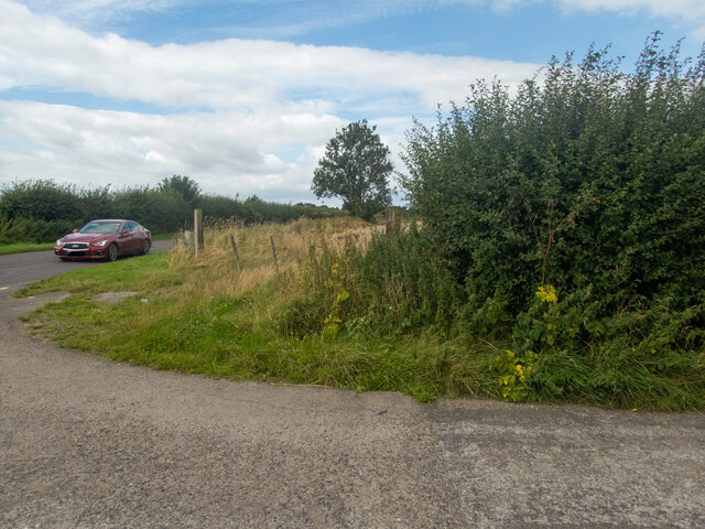
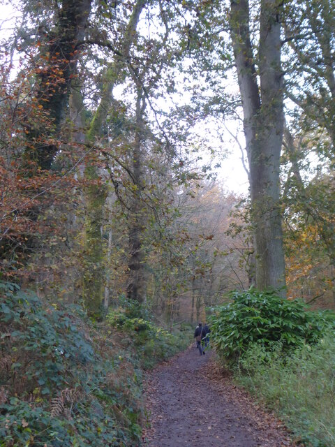
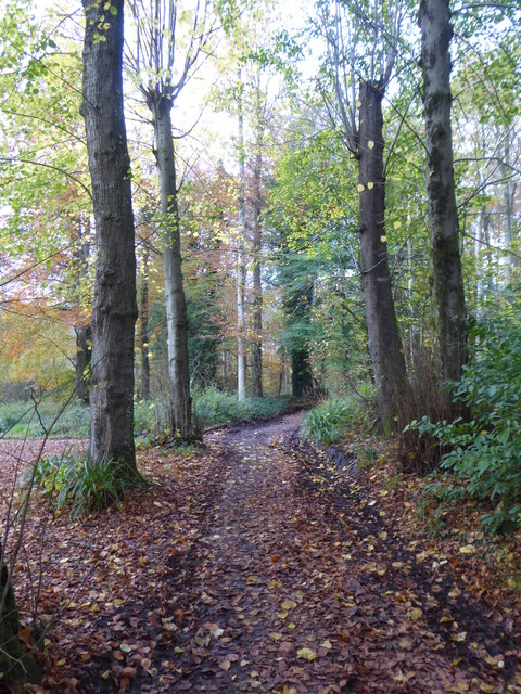
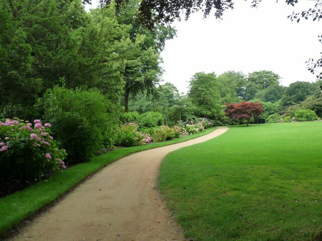
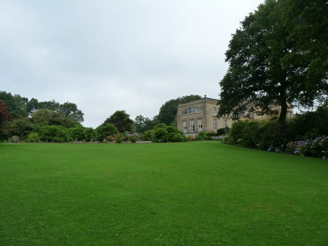
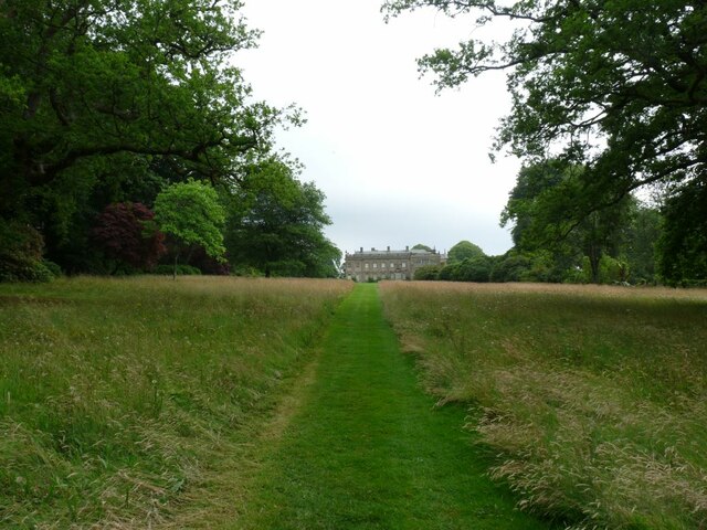
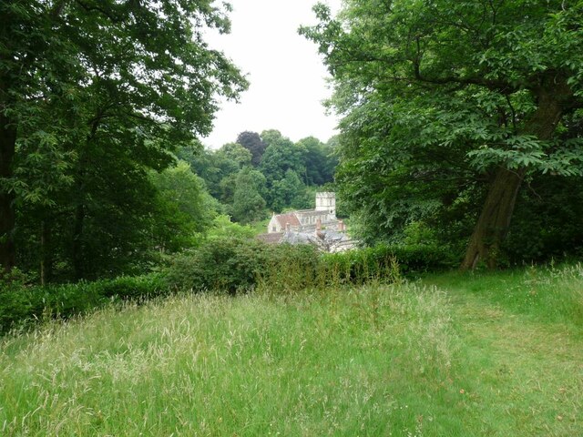
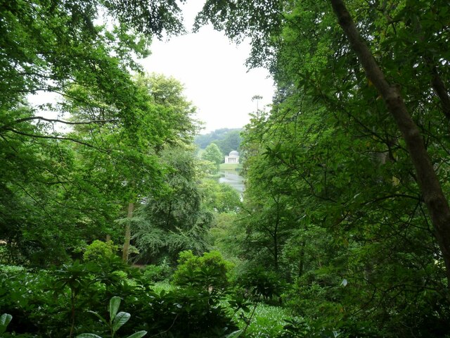
Sunny Hanging is a picturesque woodland area located in Wiltshire, England. Situated amidst the rolling hills and countryside of this beautiful county, it is known for its serene and tranquil atmosphere. The woodland is predominantly made up of dense, mature trees, creating a lush and green environment that is a haven for nature lovers.
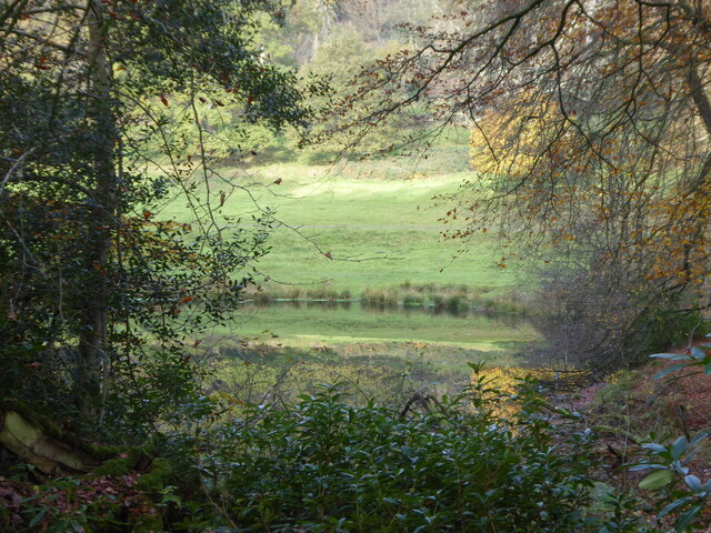
Covering an area of approximately 100 acres, Sunny Hanging is home to a diverse range of plant and animal species. The forest floor is adorned with a carpet of wildflowers during the spring and summer months, adding bursts of color to the dense green foliage. The trees themselves consist mainly of native species such as oak, beech, and ash, providing a rich habitat for various bird species, small mammals, and insects.
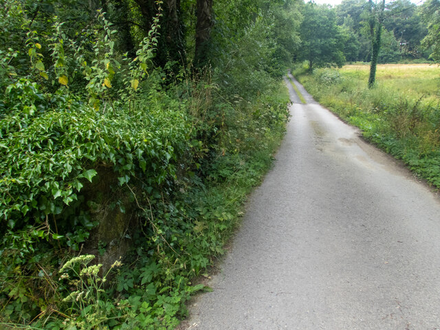
The woodland is crisscrossed with a network of well-maintained walking trails, allowing visitors to explore the area at their own pace. These paths lead through sun-dappled glades and alongside babbling brooks, offering a sense of tranquility and escape from the hustle and bustle of daily life.
Sunny Hanging is a popular destination for outdoor enthusiasts, offering opportunities for walking, hiking, and wildlife spotting. It also provides a peaceful setting for picnics and nature photography. The woodland is managed by a local conservation group, ensuring its preservation and protection for future generations to enjoy.
Overall, Sunny Hanging in Wiltshire is a stunning woodland area that offers a peaceful retreat and a chance to connect with nature in a scenic and serene environment.
If you have any feedback on the listing, please let us know in the comments section below.
Sunny Hanging Images
Images are sourced within 2km of 51.111999/-2.3332092 or Grid Reference ST7634. Thanks to Geograph Open Source API. All images are credited.
Sunny Hanging is located at Grid Ref: ST7634 (Lat: 51.111999, Lng: -2.3332092)
Unitary Authority: Wiltshire
Police Authority: Wiltshire
What 3 Words
///pigs.minus.villager. Near Kilmington, Wiltshire
Nearby Locations
Related Wikis

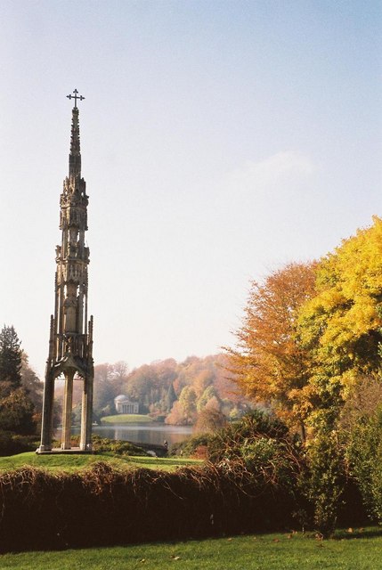
Stourhead
Stourhead () is a 1,072-hectare (2,650-acre) estate at the source of the River Stour in the southwest of the English county of Wiltshire, extending into...
Bristol High Cross
Bristol High Cross is a monumental market cross erected in 1373 in the centre of Bristol. It was built in Decorated Gothic style on the site of an earlier...

Stourton with Gasper
Stourton with Gasper is a civil parish in the southwest of the English county of Wiltshire. Its main settlement is the village of Stourton, along with...

Heath Hill Farm
Heath Hill Farm (grid reference ST757336) is a 20.73 hectare biological Site of Special Scientific Interest near Stourton in Wiltshire, notified in 1997...

Kilmington, Wiltshire
Kilmington is a village and civil parish in the extreme west of Wiltshire, England, about 8 miles (13 km) southwest of Warminster. The parish includes...

King Alfred's Tower
Alfred's Tower is a folly in Somerset, England, on the edge of the border with Wiltshire, on the Stourhead estate. The tower stands on Kingsettle Hill...

Nozarego
Nozarego is a village in the commune of Santa Margherita Ligure in Liguria, Italy. It is a natural terrace over the Bay of Tigullio. Here there is the...

RAF Zeals
Royal Air Force Zeals, or more simply RAF Zeals, is a former Royal Air Force station in Wiltshire, sited to the north of the village of Zeals, next to...
Nearby Amenities
Located within 500m of 51.111999,-2.3332092Have you been to Sunny Hanging?
Leave your review of Sunny Hanging below (or comments, questions and feedback).