Six Wells Bottom

Valley in Wiltshire

England

Six Wells Bottom

A lane into the estate The view is along Top Lane, which is in the Stourhead estate. There is a benchmark on the left which took some effort to free from the undergrowth. The wall mentioned in the OS description (see <a href="https://www.geograph.org.uk/photo/6935237">ST7633 : Benchmark freed from nettles and ivy</a>) is actually the lower parapet over the stream connecting the various ornamental lakes – the headwaters of the River Stour.
A lane into the estate Credit: Neville Goodman

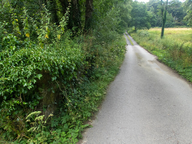
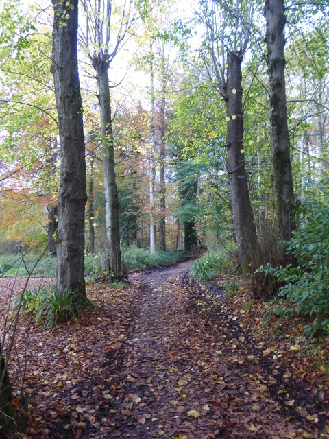
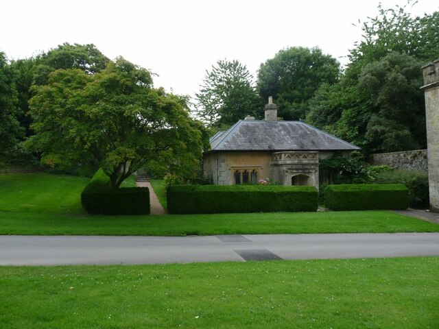
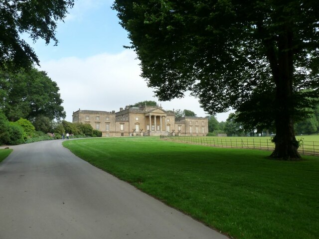
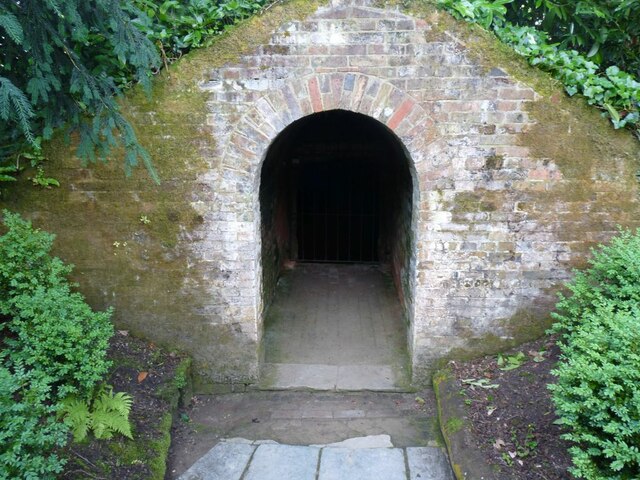
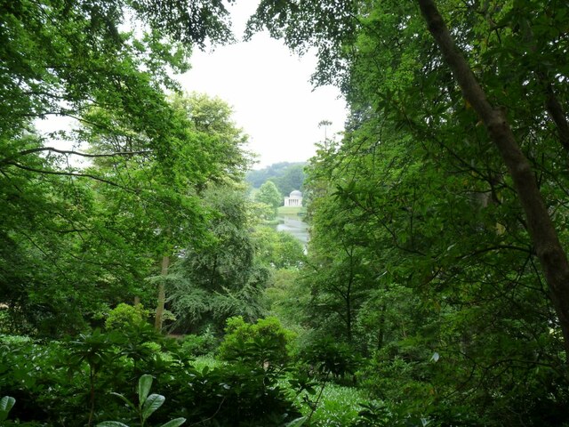
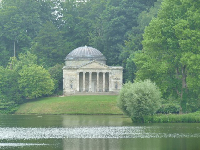
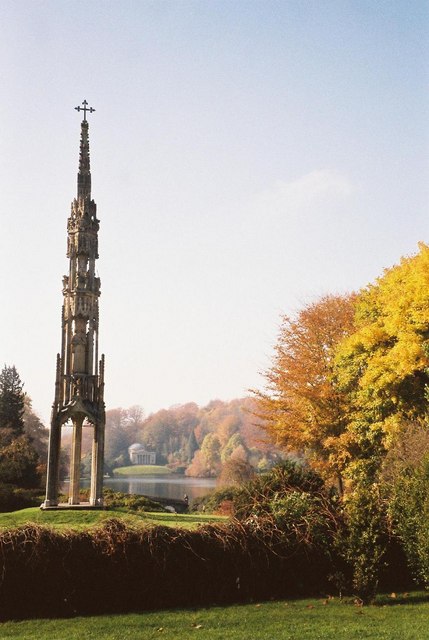
Six Wells Bottom is a picturesque valley located in the county of Wiltshire, England. Nestled amidst the rolling hills and lush greenery, this tranquil valley is a haven for nature lovers and outdoor enthusiasts. The valley is named after the six natural springs that can be found in the area, which have been a source of freshwater for centuries.

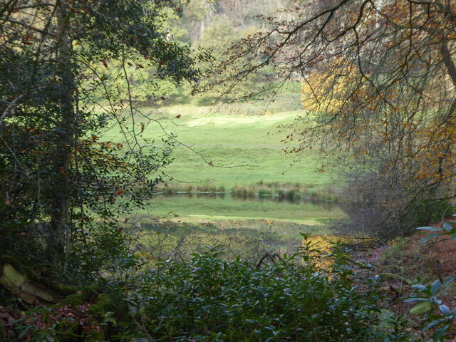
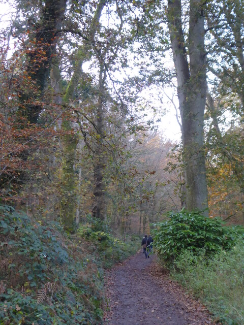
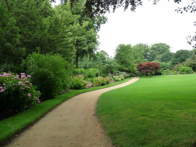
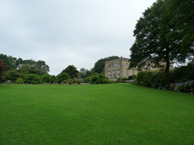
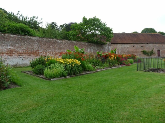
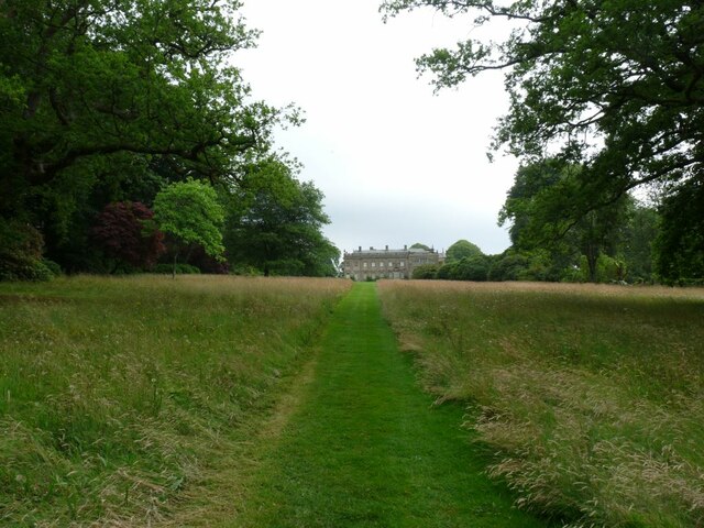
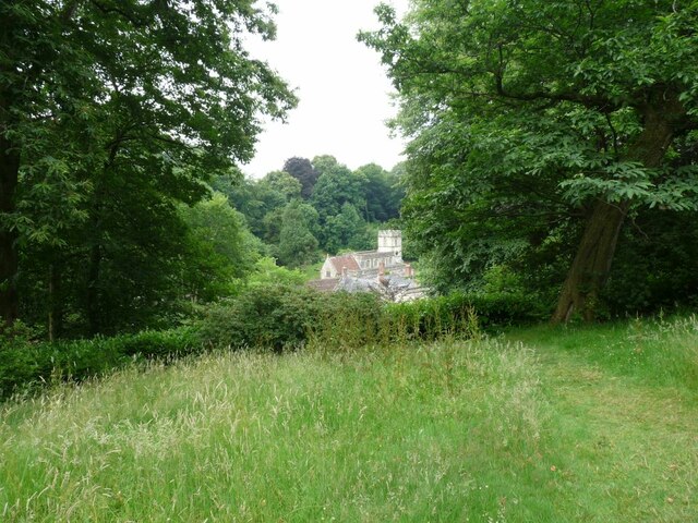
The valley is characterized by its stunning natural beauty, with idyllic meadows, ancient woodlands, and meandering streams. The landscape is dotted with charming country cottages and traditional farmhouses, adding to the area's rural charm and tranquility. Visitors can enjoy leisurely walks along the numerous footpaths that crisscross the valley, offering breathtaking views of the surrounding countryside.

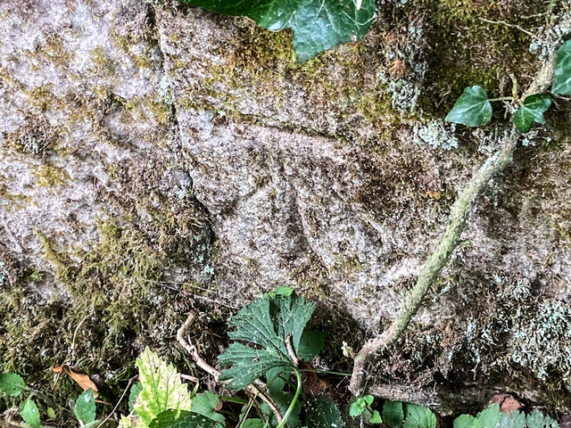
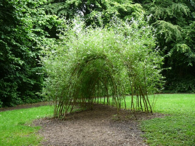
Wildlife thrives in Six Wells Bottom, with an abundance of bird species, butterflies, and small mammals calling the valley home. The valley is also home to a diverse range of plant species, including wildflowers and native trees, adding to the area's natural biodiversity.

The valley's peaceful ambiance and unspoiled surroundings make it an ideal destination for those seeking a break from the bustling city life. Whether it's picnicking by the babbling brooks, exploring the ancient woodlands, or simply enjoying the serenity of the countryside, Six Wells Bottom offers a welcome escape into nature.

If you have any feedback on the listing, please let us know in the comments section below.

Six Wells Bottom Images

Images are sourced within 2km of 51.111501/-2.3346198 or Grid Reference ST7634. Thanks to Geograph Open Source API. All images are credited.

A lane into the estate The view is along Top Lane, which is in the Stourhead estate. There is a benchmark on the left which took some effort to free from the undergrowth. The wall mentioned in the OS description (see <a href="https://www.geograph.org.uk/photo/6935237">ST7633 : Benchmark freed from nettles and ivy</a>) is actually the lower parapet over the stream connecting the various ornamental lakes – the headwaters of the River Stour.
A lane into the estate
The view is along Top Lane, which is in the Stourhead estate. There is a benchmark on the left which took some effort to free from the undergrowth. The wall mentioned in the OS description (see ST7633 : Benchmark freed from nettles and ivy) is actually the lower parapet over the stream connecting the various ornamental lakes – the headwaters of the River Stour.
Benchmark freed from nettles and ivy Once the ivy, nettles, brambles, moss and various other bits and pieces had been scraped aside <a href="https://www.geograph.org.uk/photo/6935234">ST7633 : A lane into the estate</a>, the benchmark (NBM WALL SW SIDE TOP LANE NE FACE E ANG) was revealed as remarkably undamaged.
Benchmark freed from nettles and ivy
Once the ivy, nettles, brambles, moss and various other bits and pieces had been scraped aside ST7633 : A lane into the estate, the benchmark (NBM WALL SW SIDE TOP LANE NE FACE E ANG) was revealed as remarkably undamaged.
Looking from the woods across the pool above the Lily Pond
Path through the woods by Six Wells Bottom
Path through the woods west of Iron Bridge
Willow Sculpture Tunnel made from Willows at Stourhead Park.
Willow Sculpture
Tunnel made from Willows at Stourhead Park.
Footbridge near the Eagle Courtyard Part of the N.T. property at Stourhead.
Footbridge near the Eagle Courtyard
Part of the N.T. property at Stourhead.
Gate House at Stourhead The entrance to Stourhead House.
Gate House at Stourhead
The entrance to Stourhead House.
The Gate keeper's Cottage By the entrance to Stourhead House.
The Gate keeper's Cottage
By the entrance to Stourhead House.
Stourhead House 18th C. Palladian mansion, with extensive parkland and gardens.
Stourhead House
18th C. Palladian mansion, with extensive parkland and gardens.
Hydrangeas in the border at Stourhead Pink Hydrangeas.
Hydrangeas in the border at Stourhead
Pink Hydrangeas.
Across the lawn to Stourhead House View is of the side of the House.
Across the lawn to Stourhead House
View is of the side of the House.
The Ice House at Stourhead House Ice from the lakes was stored here for Summer use.
The Ice House at Stourhead House
Ice from the lakes was stored here for Summer use.
Herbaceous flower bed at Stourhead House Taken in the Walled Garden.
Herbaceous flower bed at Stourhead House
Taken in the Walled Garden.
Grass path down to Stourhead House Looking at the rear of the property.
Grass path down to Stourhead House
Looking at the rear of the property.
St. Peter's church View through the trees to the Church.
St. Peter's church
View through the trees to the Church.
View through the trees to The Pantheon One of a number of stone structures built around the lake. Modelled on the Pantheon in Rome, it was originally called the Temple of Hercules as it was home to a statue of Hercules created by Rysbrack. It was renamed the Pantheon when statues including Diana, Flora, Isis and St Susanna were added in the 1760s. Famous architect Henry Flitcroft designed the structure.
View through the trees to The Pantheon
One of a number of stone structures built around the lake. Modelled on the Pantheon in Rome, it was originally called the Temple of Hercules as it was home to a statue of Hercules created by Rysbrack. It was renamed the Pantheon when statues including Diana, Flora, Isis and St Susanna were added in the 1760s. Famous architect Henry Flitcroft designed the structure.
The Pantheon Viewed from across the lake.
The Pantheon
Viewed from across the lake.
Show me another place!

Six Wells Bottom is located at Grid Ref: ST7634 (Lat: 51.111501, Lng: -2.3346198)

Unitary Authority: Wiltshire

Police Authority: Wiltshire

What 3 Words

///enjoy.withdrew.shipyards. Near Kilmington, Wiltshire

Related Wikis

Stourhead

Stourhead () is a 1,072-hectare (2,650-acre) estate at the source of the River Stour in the southwest of the English county of Wiltshire, extending into...

Bristol High Cross

Bristol High Cross is a monumental market cross erected in 1373 in the centre of Bristol. It was built in Decorated Gothic style on the site of an earlier...

Stourton with Gasper

Stourton with Gasper is a civil parish in the southwest of the English county of Wiltshire. Its main settlement is the village of Stourton, along with...

Heath Hill Farm

Heath Hill Farm (grid reference ST757336) is a 20.73 hectare biological Site of Special Scientific Interest near Stourton in Wiltshire, notified in 1997...

Kilmington, Wiltshire

Kilmington is a village and civil parish in the extreme west of Wiltshire, England, about 8 miles (13 km) southwest of Warminster. The parish includes...

King Alfred's Tower

Alfred's Tower is a folly in Somerset, England, on the edge of the border with Wiltshire, on the Stourhead estate. The tower stands on Kingsettle Hill...

Nozarego

Nozarego is a village in the commune of Santa Margherita Ligure in Liguria, Italy. It is a natural terrace over the Bay of Tigullio. Here there is the...

Kenwalch's Castle

Kenwalch's Castle is probably an Iron Age hill fort that may have been converted into a Roman fortress, near Penselwood, Somerset, England, 6.6 kilometres...

Nearby Amenities

Located within 500m of 51.111501,-2.3346198
Park Hill
Archaeological Site: fortification
Fortification Type: hill_fort
Historic: archaeological_site
Name Ru: Парковый холм
Wikidata: Q17643338
Lat/Long: 51.1112289/-2.3392111
Barrier: stile
Material: wood
Step Count: 1
Stile: stepover
Lat/Long: 51.1103921/-2.3285071
Barrier: stile
Lat/Long: 51.1115014/-2.3275771
The data included in this document is from www.openstreetmap.org. The data is made available under ODbL.

Have you been to Six Wells Bottom?

Leave your review of Six Wells Bottom below (or comments, questions and feedback).