Old Ground Coppice

Wood, Forest in Worcestershire Malvern Hills

England

Old Ground Coppice

Hollybush Hill from the A438
Hollybush Hill from the A438 Credit: Peter Whatley

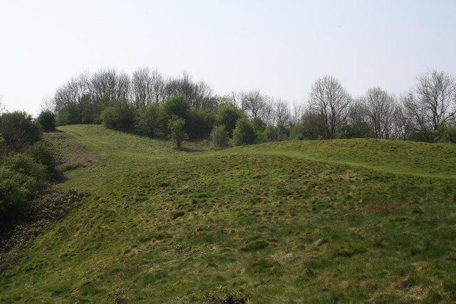
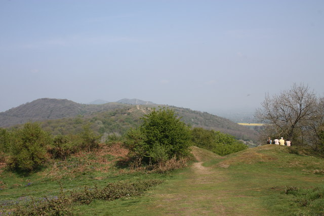
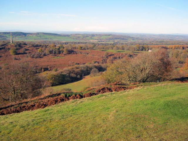
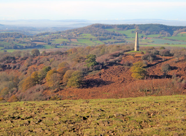
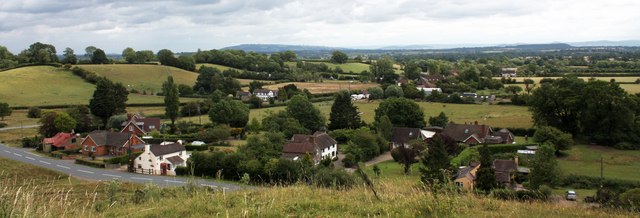
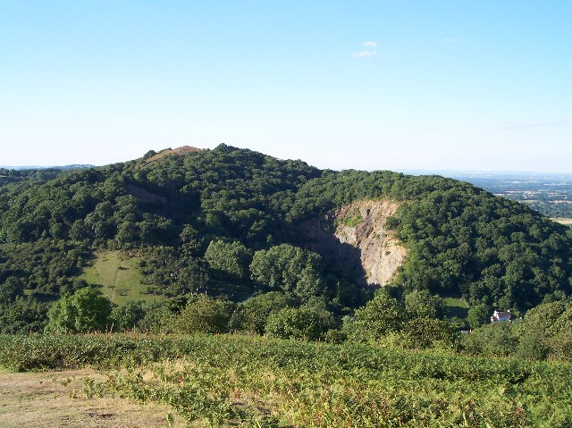
Old Ground Coppice is a picturesque wood located in the county of Worcestershire, England. Situated in the heart of the countryside, this enchanting forest spans over a vast area of approximately 50 acres. The wood is renowned for its natural beauty, rich biodiversity, and tranquil atmosphere, making it a popular destination for nature enthusiasts and locals alike.

The woodland is primarily composed of broadleaf trees, including oak, ash, and beech, which create a dense canopy, providing shade and shelter to a diverse range of wildlife. The forest floor is adorned with an array of wildflowers, ferns, and mosses, adding to the vibrant and magical ambiance.

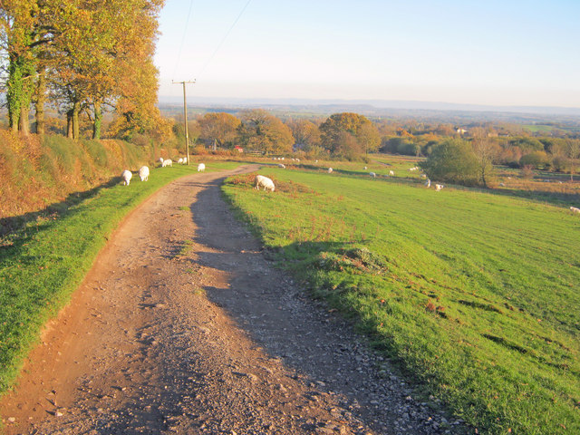
A network of well-maintained footpaths and trails wind through the wood, allowing visitors to explore its hidden treasures. These paths offer a chance to discover ancient trees, hidden ponds, and babbling brooks, providing a sense of peace and serenity away from the hustle and bustle of everyday life.

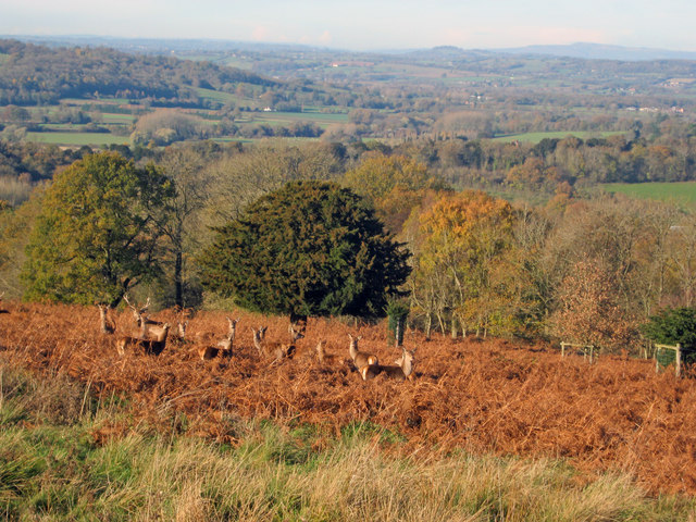
Old Ground Coppice is a haven for wildlife, with an abundance of bird species, including woodpeckers, owls, and thrushes. Other inhabitants of the forest include deer, foxes, and badgers, which can sometimes be spotted during twilight hours.

The wood is open to the public throughout the year, and visitors are encouraged to respect the natural environment by sticking to designated paths and taking their litter home. The local authorities have also implemented conservation efforts to preserve the wood's unique ecosystem, ensuring its beauty and biodiversity for future generations to enjoy.

If you have any feedback on the listing, please let us know in the comments section below.

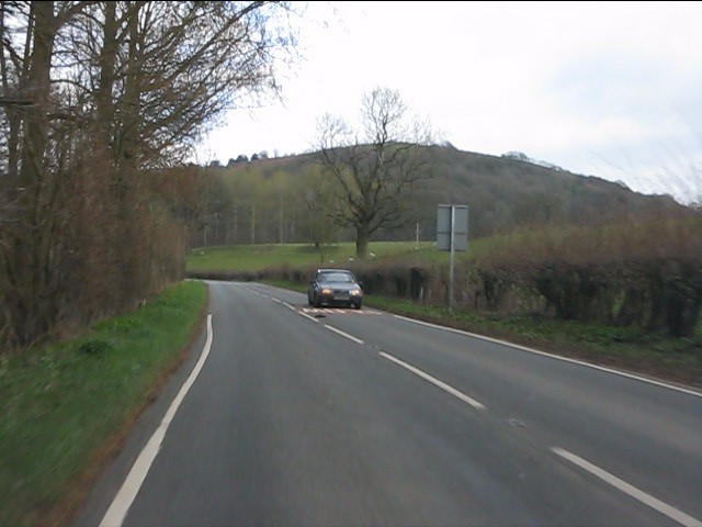
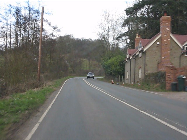
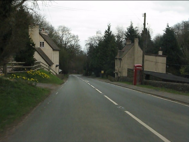
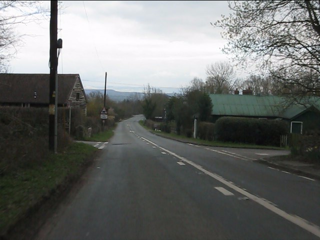
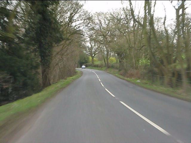
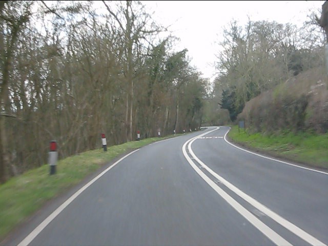
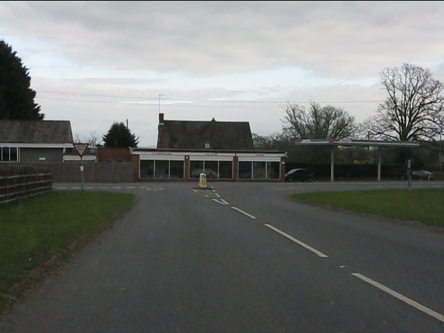
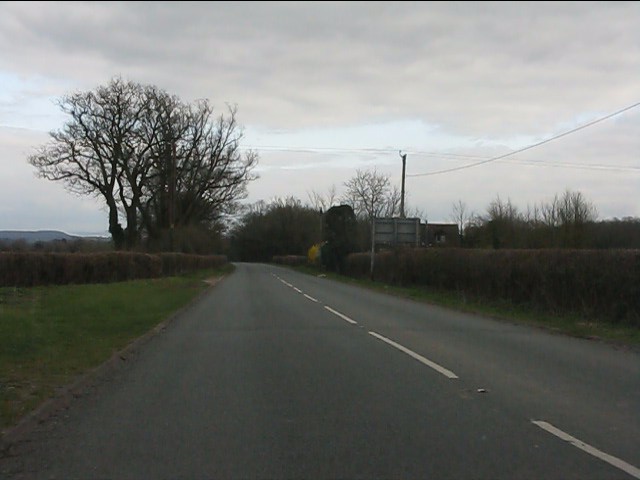
Old Ground Coppice Images

Images are sourced within 2km of 52.030621/-2.3400428 or Grid Reference SO7636. Thanks to Geograph Open Source API. All images are credited.

Hollybush Hill from the A438
Roadside cottages near Hollybush
A438 at Hollybush
A438 at Hollybush
Hollybush crossroads, A438
A438 near Coombegreen Common
A438 descends toward Rye Cross
A438 approaching Rye Cross The building houses G.Windle & Sons.  A filling station was also once operated here, but is now disused, though the canopy remains.
A438 approaching Rye Cross
The building houses G.Windle & Sons. A filling station was also once operated here, but is now disused, though the canopy remains.
A438 heading east from Rye Cross
Hollybush Hill It can be quite hard to imagine that 2000 years ago this quiet spot was part of a busy town - the Midsummer Hill iron-age hill-fort. 
Excavations in the late 1960s by Stan Stanford showed the area full of small building plots. 
Each plot had been reused time and time again over the centuries suggesting continuous occupation. 
The buildings used four posts arranged in a square - not at all like the round huts usually depicted for this era.
Evidence for similar square buildings have been found in other so called "hill-forts" in Herefordshire and the Welsh Marches
Hollybush Hill
It can be quite hard to imagine that 2000 years ago this quiet spot was part of a busy town - the Midsummer Hill iron-age hill-fort. Excavations in the late 1960s by Stan Stanford showed the area full of small building plots. Each plot had been reused time and time again over the centuries suggesting continuous occupation. The buildings used four posts arranged in a square - not at all like the round huts usually depicted for this era. Evidence for similar square buildings have been found in other so called "hill-forts" in Herefordshire and the Welsh Marches
North gate of Midsummer Hill iron-age  hill-fort Looking north along the Malvern Hills.
Another hill-fort occupies Herefordshire Beacon on the left.
Straight ahead are three overlapping peaks of Pinnacle Hill (north and south) and Black Hill.
In the far distance one can just make out Worcestershire Beacon in the haze.
North gate of Midsummer Hill iron-age hill-fort
Looking north along the Malvern Hills. Another hill-fort occupies Herefordshire Beacon on the left. Straight ahead are three overlapping peaks of Pinnacle Hill (north and south) and Black Hill. In the far distance one can just make out Worcestershire Beacon in the haze.
The shelter on Midsummer Hill The shelter was built by the owners of Eastnor Castle and the hill.
In 1923 the hill was given to the National Trust in memory of Captain Reginald Somers Cocks, MC who died in the first world war.
The shelter on Midsummer Hill
The shelter was built by the owners of Eastnor Castle and the hill. In 1923 the hill was given to the National Trust in memory of Captain Reginald Somers Cocks, MC who died in the first world war.
Hillfort ditch on Midsummer Hill Looking north-west from Midsummer Hill with the Somers Obelisk on the left and Peacock Villa on the right. A commanding view across the countryside as autumn takes a grip. The ditch just below runs around the complete top of Midsummer Hill and Hollybush Hill to enclose a large area. Less well-known than its neighbour the Hereford Beacon, but may well have been just as important in the Iron Age.
Hillfort ditch on Midsummer Hill
Looking north-west from Midsummer Hill with the Somers Obelisk on the left and Peacock Villa on the right. A commanding view across the countryside as autumn takes a grip. The ditch just below runs around the complete top of Midsummer Hill and Hollybush Hill to enclose a large area. Less well-known than its neighbour the Hereford Beacon, but may well have been just as important in the Iron Age.
The obelisk from Midsummer Hill From Midsummer Hill looking west across Eastnor Park to Frith Hill above Ledbury.
The obelisk from Midsummer Hill
From Midsummer Hill looking west across Eastnor Park to Frith Hill above Ledbury.
Red Deer in Eastnor Park View north-east towards a group of deer foraging amongst the bracken. Around 200 deer roam the large area of parkland.
Red Deer in Eastnor Park
View north-east towards a group of deer foraging amongst the bracken. Around 200 deer roam the large area of parkland.
Track across Castlemorton Common Heading east towards Bowling Green.
Track across Castlemorton Common
Heading east towards Bowling Green.
Coombegreen The view from Wendy Woodward's seat atop the hillock on Coombegreen Common.
Looking out to the houses on the B4208 and those on Birts Street.
<a href="https://www.geograph.org.uk/photo/2511815">SO7736 : Wendy Woodward's seat, Coombegreen Common</a>
Coombegreen
The view from Wendy Woodward's seat atop the hillock on Coombegreen Common. Looking out to the houses on the B4208 and those on Birts Street. SO7736 : Wendy Woodward's seat, Coombegreen Common
Wendy Woodward's seat, Coombegreen Common The seat is at the front of the hill overlooking the Severn Plain.
Behind are several commemorative trees including one dating back to 1937 for the King's Coronation.
<a href="https://www.geograph.org.uk/photo/2511845">SO7736 : Plaque on Wendy Woodward's seat, Coombe Green</a>
<a href="https://www.geograph.org.uk/photo/2511865">SO7736 : Wendy Woodward's seat, Coombe Green Common</a>
<a href="https://www.geograph.org.uk/photo/2511797">SO7736 : Coombegreen</a>
Wendy Woodward's seat, Coombegreen Common
The seat is at the front of the hill overlooking the Severn Plain. Behind are several commemorative trees including one dating back to 1937 for the King's Coronation. SO7736 : Plaque on Wendy Woodward's seat, Coombe Green SO7736 : Wendy Woodward's seat, Coombe Green Common SO7736 : Coombegreen
Plaque on Wendy Woodward's seat, Coombe Green In loving memory of
Wendy Woodward
Died 3 March 2004 aged 90 years
Enjoy the view as she did
<a href="https://www.geograph.org.uk/photo/2511815">SO7736 : Wendy Woodward's seat, Coombegreen Common</a>
Plaque on Wendy Woodward's seat, Coombe Green
In loving memory of Wendy Woodward Died 3 March 2004 aged 90 years Enjoy the view as she did SO7736 : Wendy Woodward's seat, Coombegreen Common
Show me another place!

Old Ground Coppice is located at Grid Ref: SO7636 (Lat: 52.030621, Lng: -2.3400428)

Administrative County: Worcestershire

District: Malvern Hills

Police Authority: West Mercia

What 3 Words

///grinders.insolvent.timed. Near Ledbury, Herefordshire

Related Wikis

Hollybush, Worcestershire

Hollybush is a small village in Worcestershire at the southern end of the Malvern Hills and close to the borders of both Gloucestershire and Herefordshire...

Midsummer Hill

Midsummer Hill is situated in the range of Malvern Hills that runs approximately 13 kilometres (8 mi) north-south along the Herefordshire-Worcestershire...

Hollybush Hill

Hollybush Hill is situated in the range of Malvern Hills that runs approximately 13 kilometres (8 mi) north–south along the Herefordshire–Worcestershire...

Raggedstone Hill

Raggedstone Hill is situated on the range of Malvern Hills that runs approximately 13 kilometres (8 mi) north-south along the Herefordshire-Worcestershire...

Whiteleaved Oak

Whiteleaved Oak is a hamlet in the English county of Herefordshire, lying in a valley at the southern end of the Malvern Hills between Raggedstone Hill...

Hollybed Farm Meadows

Hollybed Farm Meadows is nature reserve of the Worcestershire Wildlife Trust, about 1 mile (1.6 km) west of the village of Castlemorton, in Worcestershire...

Rye Cross

Rye Cross is a hamlet in south-west Worcestershire 1 mile west of Castlemorton, 0.5 miles east of Berrow and 1 mile south of Hollybush, near the borders...

Birts Street

Birts Street is a village in Worcestershire, England.

Nearby Amenities

Located within 500m of 52.030621,-2.3400428
Hollybush Village
Naptan AtcoCode: 2000G645000
Naptan Bearing: NW
Naptan BusStopType: CUS
Naptan CommonName: Hollybush Village
Naptan Indicator: adj
Naptan NaptanCode: wocgapjd
Naptan Street: Ledbury Road
Naptan Verified: no
Source: naptan_import
Lat/Long: 52.0298605/-2.3454125
Hollybush Church
Naptan AtcoCode: 2000G645003
Naptan Bearing: NW
Naptan BusStopType: CUS
Naptan CommonName: Hollybush Church
Naptan Indicator: opp
Naptan Landmark: Church
Naptan NaptanCode: wocdwjaw
Naptan Street: Ledbury Road
Naptan Verified: no
Source: naptan_import
Lat/Long: 52.0277642/-2.3388086
Post Box
Collection Times: Mo-Fr 10:45; Sa 10:45
Description: Where a short spur joins the SE-bound A438/A438 / (unnamed roads)
Post Box Type: lamp
Ref: HR8 143
Lat/Long: 52.02742/-2.337848
Power: pole
Lat/Long: 52.0307639/-2.3444813
Hollybush
Power: pole
Transformer: distribution
Voltage Primary: 11000
Lat/Long: 52.0295939/-2.345522
Power: pole
Lat/Long: 52.0288192/-2.3450573
Power: pole
Lat/Long: 52.0279733/-2.344537
Power: pole
Lat/Long: 52.0270927/-2.3439995
Parking
Lat/Long: 52.0290365/-2.3412278
Power: pole
Lat/Long: 52.0298385/-2.3467069
Power: pole
Lat/Long: 52.0298154/-2.3460478
Power: pole
Lat/Long: 52.0314161/-2.3443781
Hillside Cottage
Power: pole
Transformer: distribution
Voltage Primary: 11000
Lat/Long: 52.0330407/-2.3442721
Power: pole
Lat/Long: 52.0319937/-2.3442869
Power: pole
Lat/Long: 52.0298604/-2.3446839
Power: pole
Lat/Long: 52.0295456/-2.3447134
Hollybush East
Power: pole
Transformer: distribution
Voltage Primary: 11000
Lat/Long: 52.0293406/-2.3371482
Power: pole
Lat/Long: 52.029276/-2.3366704
Power: pole
Lat/Long: 52.0291652/-2.3357917
Power: pole
Lat/Long: 52.0289825/-2.3343359
The data included in this document is from www.openstreetmap.org. The data is made available under ODbL.

Have you been to Old Ground Coppice?

Leave your review of Old Ground Coppice below (or comments, questions and feedback).