Dun's Moss
Wood, Forest in Northumberland
England
Dun's Moss
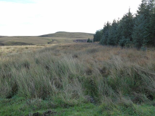
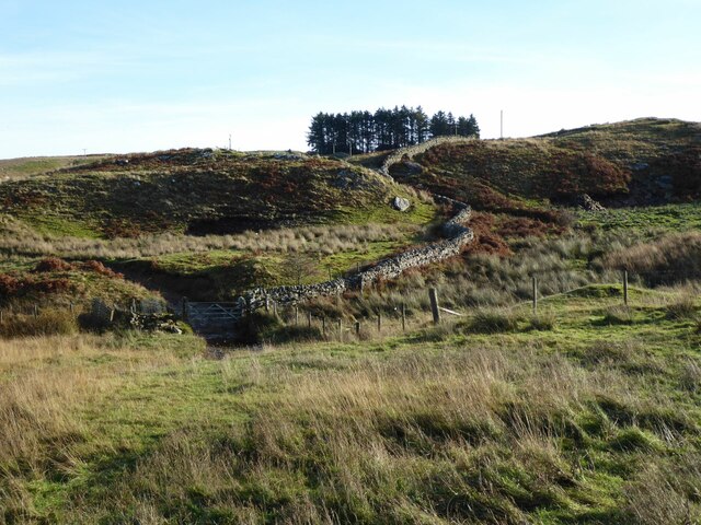
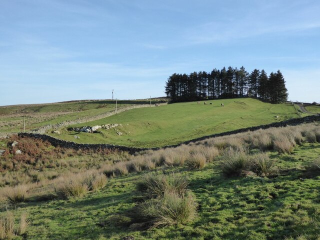
Dun's Moss is a beautiful woodland located in Northumberland, England. Spread across an area of approximately 50 acres, it is a haven for nature enthusiasts and a popular destination for hiking and exploring. The woodland is nestled amidst rolling hills and picturesque countryside, offering visitors a serene and tranquil environment.
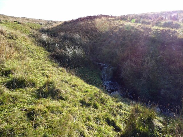
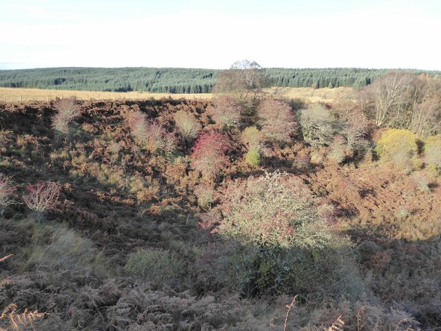
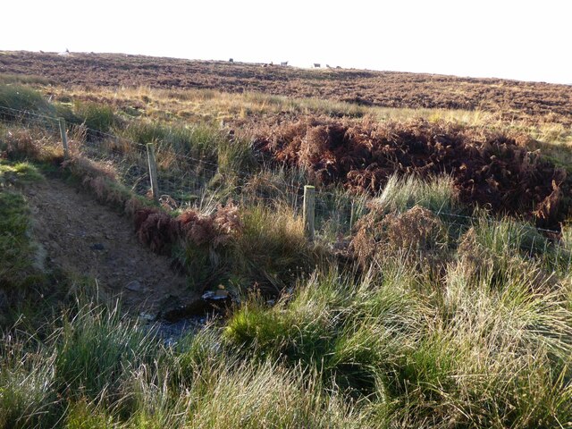
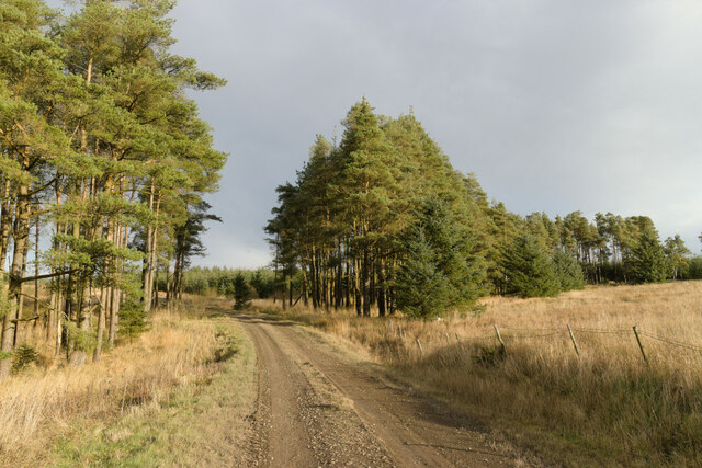
Dun's Moss is predominantly composed of a diverse range of trees, including oak, beech, ash, and birch. The dense canopy of foliage creates a cool and shaded atmosphere, making it a perfect escape from the summer heat. The forest floor is covered with a lush carpet of moss, giving the woodland its name.
The woodland is home to a variety of wildlife, including deer, foxes, rabbits, and a multitude of bird species. Birdwatchers will be delighted by the opportunity to spot rare species such as the great spotted woodpecker and the tawny owl. The forest also boasts a rich flora, with vibrant wildflowers and ferns adorning the forest floor.
Visitors can explore the woodland through a network of well-marked trails, catering to both casual walkers and avid hikers. The paths wind through the forest, offering glimpses of babbling brooks and hidden glades. There are also several picnic areas and benches scattered throughout the woodland, providing the perfect spot to rest and take in the natural beauty.
Dun's Moss is a cherished natural gem in Northumberland, attracting visitors from near and far who seek solace in its peaceful ambiance and immerse themselves in the wonders of the natural world.
If you have any feedback on the listing, please let us know in the comments section below.
Dun's Moss Images
Images are sourced within 2km of 55.125124/-2.3658417 or Grid Reference NY7681. Thanks to Geograph Open Source API. All images are credited.


Dun's Moss is located at Grid Ref: NY7681 (Lat: 55.125124, Lng: -2.3658417)
Unitary Authority: Northumberland
Police Authority: Northumbria
What 3 Words
///golden.birds.locals. Near Bellingham, Northumberland
Nearby Locations
Related Wikis

Dally Castle
Dally Castle is a ruined 13th-century stone motte-and-bailey fortress in Northumberland, and one of the first hall houses in Northumberland. It lies 5...

Greystead
Greystead is a village and civil parish in Northumberland, England west of Bellingham. The population as of the 2011 census was less than 100. It shares...

Tarset railway station
Tarset railway station served the civil parish of Tarset, Northumberland, England from 1862 to 1958 on the Border Counties Railway. == History == The station...

Tarset Castle
Tarset Castle is a ruin near Tarset in Northumberland. == History == A licence to crenellate was granted to John Comyn in 1267, and the castle was built...
Nearby Amenities
Located within 500m of 55.125124,-2.3658417Have you been to Dun's Moss?
Leave your review of Dun's Moss below (or comments, questions and feedback).